967 results
Free 8th grade geography resources for Microsoft Word
The World Where I Live...
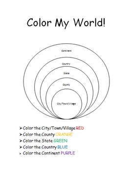
This is a jam-packed, 40 page unit full of multi-sensory and multi-grade-level activities all centering on the relationships between the following concepts: city/town/village, county, state, country, continent, and community helpers. The following mathematical concepts are also explored: range, median, mode, and average (mathematical mean).
The following activities are included in this unit: Key vocabulary exercise, coloring Venn diagram activity, "Greater Than, Less Than" activity page, "My
Subjects:
Grades:
K - 8th
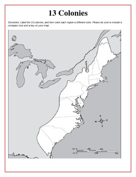
13 Original British Colonies Blank Map
This is a map of the original 13 British Colonies that is blank and able to be filled out by students. The directions also state that students are to color the three regions and include a key and compass rose on their maps. Great way for the students to learn about the 13 Original colonies.
If you like this printable, please visit my store and see what else I have!!! www.teacherspayteachers.com/store/Kathryn-B
Subjects:
Grades:
5th - 12th
Types:
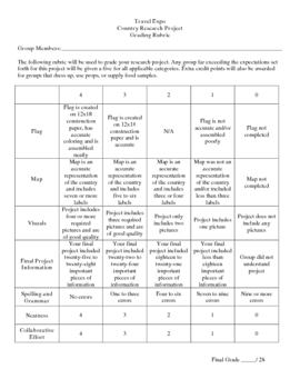
Country Research Project
** Uploaded Word document. Items will need to be copied/pasted into documents to fix some formatting issues.
This Country Research Project was designed as a group project for use with grades 5-8. It includes all of the introduction/explanation papers, worksheets for history, culture, travel, and geography as well as the presentation rubric and worksheet to go along with the Travel Expo (if you so choose to have one). There is a timeline included that covers roughly 8 days and includes time in t
Subjects:
Grades:
5th - 8th
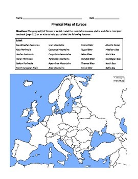
Physical Map of Europe
*Students label physical features listed on a blank (can use atlases or textbooks)
*Students write a paragraph describing the geographic features of a place where they might want to live in Europe
Grades:
6th - 12th
Types:
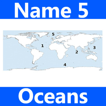
Name 5 Oceans Geography Classroom Activity Map Worksheet 1st-4th Grade
This is the perfect classroom activity for 1st, 2nd, 3rd, and 4th Grade students who are learning where the different oceans are. This five question geography worksheet has them finding and naming the different oceans of the world.
Grades:
PreK - 12th, Higher Education, Adult Education, Staff
Types:
World Geography Web Quest
This web quest will lead students to several different websites to gather answers and information related to world geography. Students must define geography, human geography, & physical geography; take a quiz on the continents & oceans; determine why it is difficult to give an exact number of countries in the world; explain what is interesting about the earth's circumference; and answer several basic questions related to the world's current population, land sizes, landforms, climate, &am
Grades:
6th - 10th
Types:
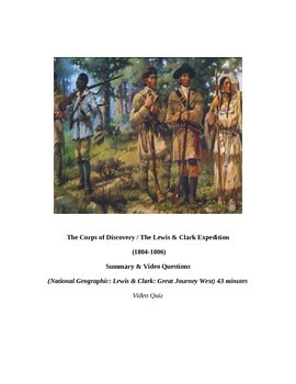
Louisiana Purchase: "LEWIS & CLARK: Great Journey West" VIDEO LINK, QUIZ, & KEY
This is a 14 question video quiz consisting of Short Answer questions that follow (in order) information presented in the 43 minute National Geographic video entitled, "LEWIS & CLARK: GREAT JOURNEY WEST". The video quiz consists of a cover page, summary, student quiz, and teacher key and video location on YouTube.
This quiz has been created to be completed as the video is being viewed (which may then be graded if desired). I would not advise having students complete this after viewing the
Grades:
8th - 12th, Higher Education, Adult Education
Types:

Countries of Europe Word Search and Activity
A fun activity for any grade teaching about the countries of Europe. Find all the words in the word search, then find the secret message left over!
Subjects:
Grades:
3rd - 12th
Types:
Global Environmental Data Set: Population, Consumption, Climate Change
This editable environmental data chart contrasts population, consumption, and carbon dioxide emissions for the United States, Canada, Europe, Latin America, Africa, China, India, and Asia (minus India and China). Related data including income, poverty, contraceptive use, contrasted government expenditures (education, healthcare, military), conserved natural habitat, and more are included. This data set, and clarifications for its use, are ready to use in lesson plans, debates, classroom activiti
Subjects:
Grades:
6th - 12th
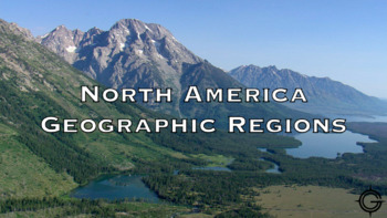
North America Geographic Regions Youtube Video Worksheet
This 5 question worksheet goes along with this video. Link. The video shows video footage of each of the 8 regions. This lesson would be best completed at the beginning of the unit before telling students what the characteristics of each of the regions are. These questions can be easily adapted to use in google forms, canvas, or some other learning management system used for virtual learning.
Grades:
4th - 12th
Types:
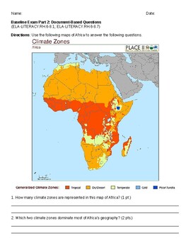
Geography Map Skills DBQ
This is a baseline assessment I created to assess where students are in reading different types of maps. It includes questions on a population density map, a climate zone map, and a short response that asks about the relationship between the two.
Subjects:
Grades:
5th - 8th
Types:
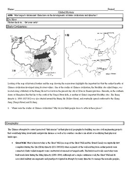
Ancient China - Early River Valley Civilizations
Ancient China - Early River Valley Civilizations; Geography, Oracle Bones, Terrace Farming/Irrigation, and the Great Wall.
Subjects:
Grades:
6th - 12th
Types:
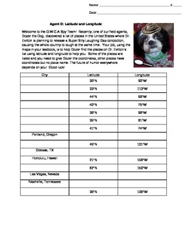
Dozer the Spy Dog and Latitude and Longitude
A fun activity that allows students to practice their skills using latitude and longitude. The students are the newest members of an elite spy team, battling Dr. Evilton, while also practicing finding locations using only latitude and longitude.
Subjects:
Grades:
4th - 8th
Types:
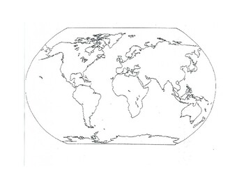
Free Printable World Map
Free printable world map for 7th grade world geography. Suggested use with the Continentes y Océanos del Mundo Bundle, but could be used for all kinds of wonderful activities, such as:- Current events (7th and 8th grade)- Ancient World Civilizations (6th grade)Enjoy!
Grades:
6th - 8th
Types:
Manifest Destiny and The Oregon Trail Lesson Plan
This is an engaging lesson that will encourage student discussion. Included is a scripted lesson plan, seven sources (primary and secondary sources), and questions. Some questions are simple recall questions, since the purpose of the lesson is to learn the Social Studies content using literacy. Other questions are higher-order thinking questions.
The purpose of this lesson is to analyze political, social, and economic factors that led to westward expansion from 1800-1850. Students will investig
Grades:
4th - 11th
Types:
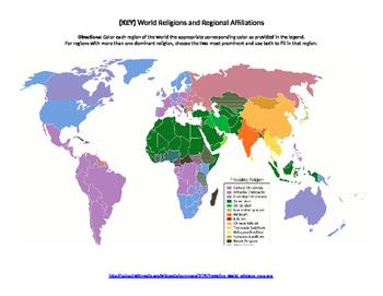
World Religions Map Quiz
Printable document containing a blank map that can be used to highlight where certain religions are most prominent. Also contains a colored map to be used as an answer key.
Subjects:
Grades:
6th - 12th, Higher Education
Types:
Geography Latitude/Longitude-Time Zones Worksheet Assignment!
This is a short assignment (11 questions) that can be used to teach students the basics of the worldwide latitude/longitude system, as well as the worldwide time zone system.
Subjects:
Grades:
6th - 12th
Types:
NGSS:
HS-ESS3-3
, HS-ESS3-6
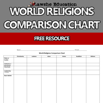
World Religions Comparison Chart
Free World Religions Comparison Chart. This chart will help students to look at the major world religions similarities and differences. It's a great way to organize the major world religions and their belief systems together for a quick reference. No Prep Required - You may edit this worksheet, but they're ready to go as is!Multiple UsesPowerPoint - Use for a class discussionProvide to students as "teacher notes" for those who require accommodationsHow will this help me and my students?Save your
Grades:
6th - 12th
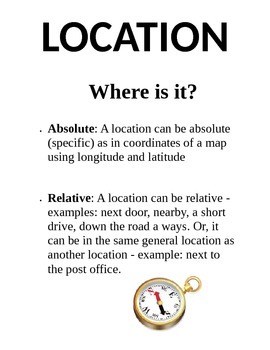
5 Themes of Geography Poster Pack
This product includes five separate posters about the 5 Themes of Geography (Location, Place, Region, Movement, and Human-Environment Interaction) Each poster has a title, definition, and picture for students to use as a resource. Print them on 8.5"x11" paper or cardstock and laminate for yearly use.
Grades:
3rd - 8th
Types:

Rosetta Stone Translation Activity for Ancient Egyptian Hieroglyphics
This activity helps students understand the concept of the Rosetta Stone and how it was used to translate hieroglyphics. This activity is best done in small groups of 2-3 students but could be done solo. The activity takes about 3-5 minutes of explanation and 3-5 minutes to complete, plus 5-10 minutes of further discussion about the difficulties of translating an unknown language. Appropriate for 5th-12th grades.
Subjects:
Grades:
6th - 9th
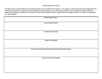
Natural Disasters Mini Project
This short project can typically be completed in one or two days. In it, students research a major natural disaster and complete an informational chart. Once they have completed the chart, they create a "mini-poster" on the back that describes their natural disaster.
Grades:
4th - 12th, Higher Education, Adult Education
Types:
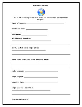
Country Fact Sheet
This is a basic fill in the blank template that can be used as students begin gathering information about a particular country. It helps them focus on finding relevant details about a country before writing a research paper. It works well in a computer lab or library setting where students can search for the answers.
Subjects:
Grades:
6th - 12th
Types:
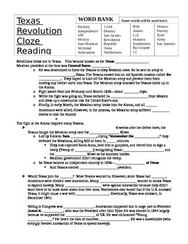
Texas Revolution- The Alamo- Cloze Reading
This Texas Revolution cloze reading covers the Alamo, the Battle of San Jacinto and the annexation of Texas by the United States. This is a great and fun reading comprehension activity to helps your students learn about the Texas Revolution while continuing to work on their reading comprehension skills.
This comes with an answer key as well.
Subjects:
Grades:
6th - 9th
Types:
CCSS:
Geography Substitute Lesson (works for Pre-AP World History & Geography)
This two page reading comes from National Geographic and has been modified to include 6 document based questions. It's primary information is focused on continents, but explores regions, tectonic plates, and other related topics. This reading and questions lesson was designed to be used for a day your class is with a substitute, but can also be used when you just need to catch up on grading, planning, data chats, etc. It is independent work. I designed this for my Pre-AP World History and Geogra
Grades:
6th - 10th
Types:
Showing 1-24 of 967 results


