545 results
Free 12th grade geography resources for Microsoft Word
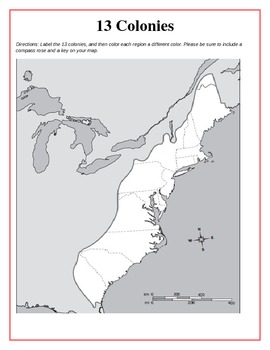
13 Original British Colonies Blank Map
This is a map of the original 13 British Colonies that is blank and able to be filled out by students. The directions also state that students are to color the three regions and include a key and compass rose on their maps. Great way for the students to learn about the 13 Original colonies.
If you like this printable, please visit my store and see what else I have!!! www.teacherspayteachers.com/store/Kathryn-B
Subjects:
Grades:
5th - 12th
Types:
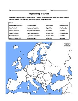
Physical Map of Europe
*Students label physical features listed on a blank (can use atlases or textbooks)
*Students write a paragraph describing the geographic features of a place where they might want to live in Europe
Grades:
6th - 12th
Types:
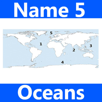
Name 5 Oceans Geography Classroom Activity Map Worksheet 1st-4th Grade
This is the perfect classroom activity for 1st, 2nd, 3rd, and 4th Grade students who are learning where the different oceans are. This five question geography worksheet has them finding and naming the different oceans of the world.
Grades:
PreK - 12th, Higher Education, Adult Education, Staff
Types:
Louisiana Purchase: "LEWIS & CLARK: Great Journey West" VIDEO LINK, QUIZ, & KEY
This is a 14 question video quiz consisting of Short Answer questions that follow (in order) information presented in the 43 minute National Geographic video entitled, "LEWIS & CLARK: GREAT JOURNEY WEST". The video quiz consists of a cover page, summary, student quiz, and teacher key and video location on YouTube.
This quiz has been created to be completed as the video is being viewed (which may then be graded if desired). I would not advise having students complete this after viewing the
Grades:
8th - 12th, Higher Education, Adult Education
Types:
Global Environmental Data Set: Population, Consumption, Climate Change
This editable environmental data chart contrasts population, consumption, and carbon dioxide emissions for the United States, Canada, Europe, Latin America, Africa, China, India, and Asia (minus India and China). Related data including income, poverty, contraceptive use, contrasted government expenditures (education, healthcare, military), conserved natural habitat, and more are included. This data set, and clarifications for its use, are ready to use in lesson plans, debates, classroom activiti
Subjects:
Grades:
6th - 12th
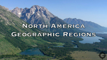
North America Geographic Regions Youtube Video Worksheet
This 5 question worksheet goes along with this video. Link. The video shows video footage of each of the 8 regions. This lesson would be best completed at the beginning of the unit before telling students what the characteristics of each of the regions are. These questions can be easily adapted to use in google forms, canvas, or some other learning management system used for virtual learning.
Grades:
4th - 12th
Types:

Countries of Europe Word Search and Activity
A fun activity for any grade teaching about the countries of Europe. Find all the words in the word search, then find the secret message left over!
Subjects:
Grades:
3rd - 12th
Types:
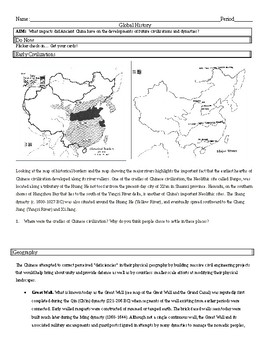
Ancient China - Early River Valley Civilizations
Ancient China - Early River Valley Civilizations; Geography, Oracle Bones, Terrace Farming/Irrigation, and the Great Wall.
Subjects:
Grades:
6th - 12th
Types:
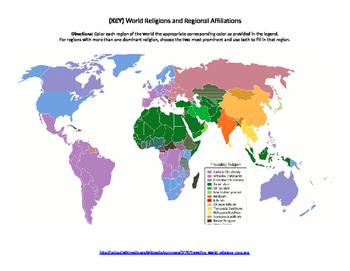
World Religions Map Quiz
Printable document containing a blank map that can be used to highlight where certain religions are most prominent. Also contains a colored map to be used as an answer key.
Subjects:
Grades:
6th - 12th, Higher Education
Types:
Geography Latitude/Longitude-Time Zones Worksheet Assignment!
This is a short assignment (11 questions) that can be used to teach students the basics of the worldwide latitude/longitude system, as well as the worldwide time zone system.
Subjects:
Grades:
6th - 12th
Types:
NGSS:
HS-ESS3-3
, HS-ESS3-6
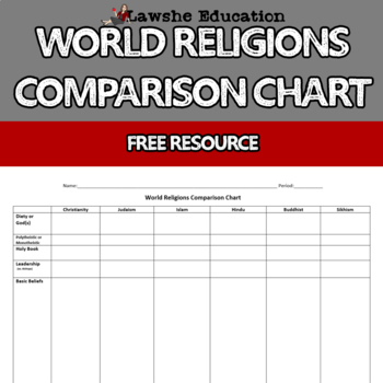
World Religions Comparison Chart
Free World Religions Comparison Chart. This chart will help students to look at the major world religions similarities and differences. It's a great way to organize the major world religions and their belief systems together for a quick reference. No Prep Required - You may edit this worksheet, but they're ready to go as is!Multiple UsesPowerPoint - Use for a class discussionProvide to students as "teacher notes" for those who require accommodationsHow will this help me and my students?Save your
Grades:
6th - 12th
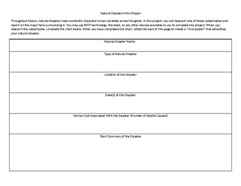
Natural Disasters Mini Project
This short project can typically be completed in one or two days. In it, students research a major natural disaster and complete an informational chart. Once they have completed the chart, they create a "mini-poster" on the back that describes their natural disaster.
Grades:
4th - 12th, Higher Education, Adult Education
Types:
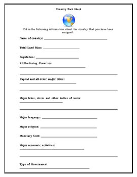
Country Fact Sheet
This is a basic fill in the blank template that can be used as students begin gathering information about a particular country. It helps them focus on finding relevant details about a country before writing a research paper. It works well in a computer lab or library setting where students can search for the answers.
Subjects:
Grades:
6th - 12th
Types:
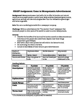
GRASP: Come to Mesopotamia Advertisement
Students create an advertisement encouraging hunter-gatherers to migrate to Mesopotamia and settle there to start a civilization. Students will have to use facts from the time period to create their advertisement. Criteria/ grading rubric is included.
Subjects:
Grades:
5th - 12th
Types:
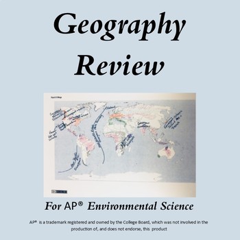
AP Environmental Science Geography Review-distance learning
This 8 page lesson requires students to review the countries, regions and places where important environmental science events took place such as Chernobyl, Fukushima, and Bhopal, India. The specific questions align with released AP Environmental Science exams.In addition, students review the locations of the major biomes, and major plate tectonic locations such as volcanic island arcs and hot spot volcanos. They also review which countries lead the world in the different energy sources. For ex
Subjects:
Grades:
9th - 12th
Types:
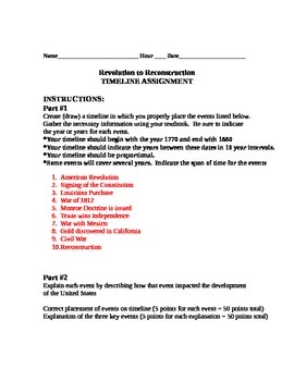
U.S. History Timeline of American Revolution to Reconstruction
Timeline activity in which students research key events in U.S. History from the American Revolution to Reconstruction. Students create a timeline and write a short constructed response about their timeline. Intended for grades 7-12
Subjects:
Grades:
7th - 12th
Types:
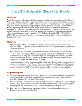
Plan a Trip in Spanish
The most important lessons learned in 22 years of traveling with & without students - All have been incorporated into a bilingual project for students to start in class and then complete with online research. The students learn about currency exchange, making phone calls, using credit cards abroad, packing lists, and describing their plans in future tense in Spanish. The students display their findings in $1.00 photo albums available at any Walmart. It is a requirement for students before th
Subjects:
Grades:
10th - 12th
Types:
5 Themes of Geography Video & Quiz
This is a 9:45 minute YouTube video that covers the 5 themes of geography definitions and provides examples of each. There is a short 10 question quiz that goes with the video that is attached. URL to video is on word document.
Grades:
4th - 12th, Higher Education
Types:
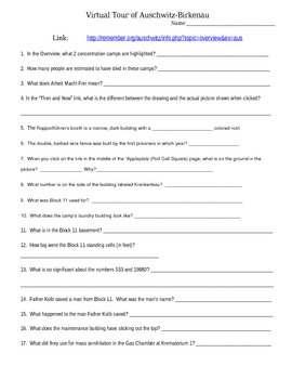
Virtual Tour of Auschwitz Concentration Camp
This study guide helps students take the online Virtual Tour of Auschwitz Death Camp. It has 18 questions that students will use to follow the stories and panorama photographs taken from the camp. It is great to be taught in conjunction with any Holocaustal literature, History or Geography units.
Grades:
8th - 12th
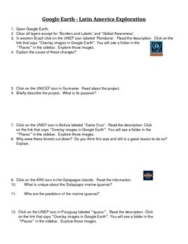
Google Earth - Exploring Latin America
This is a fun 3-page exploration activity using Google Earth. Students will explore various geographic and environmental aspects of the region using a variety of layers within the program. Google Earth is a free download for any computer and is a great way to introduce students to GIS and GPS fundamentals, mapping, and grid lines on the Earth. My students love Google Earth and want to do it for every continent we cover in class!I also have an Australia Google Earth Activity file!
Subjects:
Grades:
6th - 12th
Types:

United States Riddles and Brain Teaser
U.S Riddles are excellent for critical thinking activity for 4th-12th grade, GATE, ESL, College, Test Preparation, Home Schooling, Staff, Special Education,Resource Teachers, Adult School, also as Ice Breakers. These riddles could be taught as a whole class activity, small group and as cooperative learning group activity. Excellent way to start the year with one riddle a day.
Subjects:
Grades:
4th - 12th, Higher Education, Adult Education, Staff
Types:
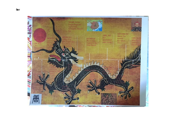
Chinese Dynasties Timeline Activity
China has a long history, and for world history students it is important to understand the important achievements, accomplishments, and changes to their structure. Even more so, the expanse of time is better understood using a graphic organizer. I’ve collected a few of the important early elements for students and created a printable timeline, and included a student example of one where the student developed their own format. Of course, this could be edited to better suite your classroom needs.
Subjects:
Grades:
6th - 12th
Types:
Earth's Spheres
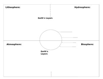
This graphic organizer can be used for vocabulary or for organizing notes over the Earth's Lithosphere, Hydrosphere, Atmosphere and Biosphere. In addition, there is a diagram of the Earth's Layers located in the middle of the organizer. Students may give a definition, with an example and an illustration.
Subjects:
Grades:
6th - 12th, Higher Education
Centroamérica: Central America Geography Quiz
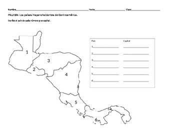
Quick quiz to test students' knowledge on the geography of Spanish speaking Central American countries and their capitals. Can also be used as a note sheet or practice sheet!
***Please visit my store for other Spanish class related products!
***Feedback welcomed and appreciated!
Subjects:
Grades:
5th - 12th, Adult Education
Types:
Showing 1-24 of 545 results


