🎉 Teacher Appreciation: Save up to 25% using promo code THANKYOU24. Sale ends in 3 hrs 27 min. Learn more
12,144 results
Common Core RH.6-8.7 resources
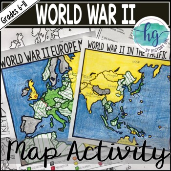
World War II (World War 2) Map & Geography Activity for Europe & the Pacific
These World War II in Europe and World War 2 in the Pacific maps will help students become more familiar with the nations of Europe and those in the Pacific during World War II by identifying which countries belonged to the Allies, which ones joined the Axis, which ones were controlled by the Axis Powers, and which ones remained neutral. On the World War II in Europe map, students will also label the Maginot Line, the Battle of Dunkirk, the Battle of Britain, the Battle of Stalingrad, the Battl
Subjects:
Grades:
6th - 11th
Types:
The Lost Colony of Roanoke American US History 13 Colonies CSI Inquiry
In this Lost Colony of Roanoke and the 13 Colonies CSI Activity, students take part in an engaging investigation to determine the fate of the colonists at Roanoke while getting a great introduction to American History. This is an ideal starter resource for any unit on the 13 Colonies. Students work individually or in groups to examine possible theories that explain the fate of the Lost Colony at Roanoke. Students will read through 6 possible scenarios, analyzing a variety of questions from a v
Grades:
5th - 8th
Types:
Also included in: CSI US American History Inquiry Bundle | 10 Amazing Inquiry Activities
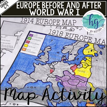
World War I Map Activity Lesson (1914 & 1918 Europe Maps)Print &Digital Resource
These 1914 and 1918 Europe Map worksheets will help students understand the effects of World War I on the European map. They will also help students become more familiar with the nations of Europe during World War 1 by identifying which European countries belonged to the Allies, which ones joined the Central Powers, and which ones remained neutral. Additionally, students will be able to identify the new nations that were created after World War I and which nations lost territory after the war.Wh
Subjects:
Grades:
6th - 10th
Types:
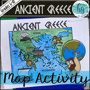
Ancient Greece Geography Map Activity (Print and Digital Resource)
This activity will help students better understand the geography of Greece and its impact on Ancient Greek civilizations. They will label and color the blank map version and then answer a few questions. Alternatively, students can just color on the coloring page version. It's a great way to incorporate geography in your lesson.What's included with the Printed Versions:*Ancient Greece map for students to label, color, and answer 10 questions (1 page map, 1 page directions/questions, uneditable pd
Grades:
6th - 10th
Types:
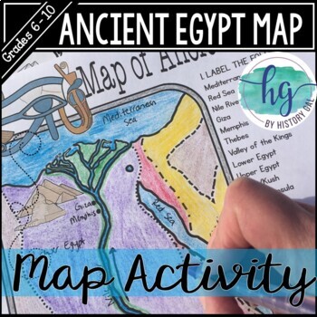
Ancient Egypt Map Activity (Print and Digital Resource)
Students will learn about important places in the Ancient Egypt civilization as they label and color a map. It's also a great way to incorporate geography in your lesson.What's included with the printed version:Blank Ancient Egypt map for students to label and color (1 page, uneditable pdf)Map Key (1 page, uneditable pdf)Ancient Egypt map for students to just color (1 page, uneditable pdf)Informational Reading (1 page, uneditable pdf) Animated PowerPoint shows each location and the key - perfect
Subjects:
Grades:
6th - 10th
Types:
The Silk Road Simulation Game | Ancient China Simulation Activity
This no-prep, game-based Silk Road Simulation will be the highlight of your Ancient China unit! In this simulation with printable and digital options, students will travel along the Silk Road, trade a variety of goods, encounter challenges along the way, and answer trivia questions.Simulations can be such fun and meaningful activities, but they often take a lot of work and preparation to set up, which is why we did all of the work for you! You don't need to cut, purchase, or set-up anything to d
Grades:
6th - 9th
Types:
CCSS:
Also included in: Ancient China Activities Bundle | Geography Activity, Debate, Simulation
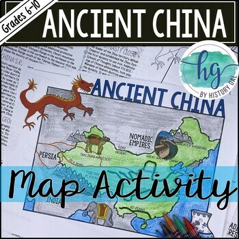
Ancient China Map Activity Lesson (Print and Digital Resource)
This activity will help students better understand the geography of Ancient China. They will label and color the blank map version and answer a few questions. Alternatively, students can just color on the coloring page version. It's a great way to incorporate geography in your lesson.What's included with the printed versions:*Blank Ancient China map for students to label, color, and answer questions (1 page map, 1 page directions, uneditable pdf)*Blank Ancient China map for students to label, co
Grades:
6th - 10th
Types:
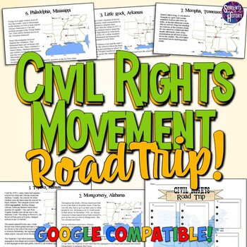
Civil Rights Movement Road Trip Map Project & Activity
This fantastic Civil Rights Movement lesson plan is inspired by the "Freedom Riders". Included are 7 one page readings on major events of the Civil Rights Movement (Brown Vs. The Board of Ed., The Little Rock 9, The Montgomery Bus Boycott, etc) that students read as they travel around the room. As your students stop and read about each event, they complete a graphic organizer and map each event. This is a great activity to get students moving around the room. It can also be completed in groups,
Subjects:
Grades:
5th - 9th
Types:
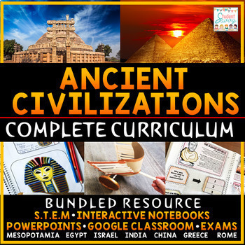
Ancient Civilizations Curriculum World History Greece Rome China Egypt 6th Grade
Looking for an engaging and rigorous Ancient Civilization Activities and Social Studies Curriculum that covers The Stone Age / Archaeology, Early Humans, Archaeology, Ancient Mesopotamia, Ancient Egypt, Israel, Ancient India, Ancient China, Ancient Greece, and Ancient Rome, and is both suitable for 6th grade and Grade 4 Ontario curriculum? Look no further than the Ancient Civilizations and World History Complete Curriculum, available in print and digital formats. This comprehensive curriculum re
Grades:
4th - 7th
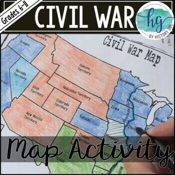
Civil War Map Activity Lesson with Battles (Print and Digital)
This Civil War map activity will help students understand what the United States looked like at the start of the Civil War including its western territories, where significant battles occurred, and which states were Union, Confederate, or Borders states. It's also a great way to incorporate geography into your unit. Students will label, color, and draw on the map and then answer a few questions.What's Included with the Printed Versions:*Blank Civil War Map for students to label, color, and answ
Subjects:
Grades:
7th - 11th
Types:
Also included in: Civil War Unit Bundle
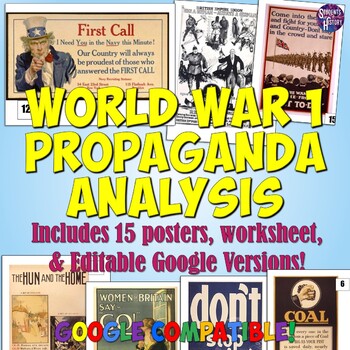
World War 1 Propaganda Analysis Activity
This lesson on WW1 Propaganda has students utilizing higher-level thinking skills to analyze 15 primary source propaganda posters. Everything you need is included for the lesson plan, including a worksheet, 15 full color propaganda posters, and an answer key.The worksheet explains the 5 main objectives of wartime propaganda and has students come up with their own personal definition of propaganda. They then determine the goal of each poster based on the objectives. This provides a framework for
Grades:
7th - 12th
Types:
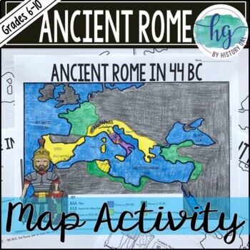
Ancient Rome to 44 BCE Map Activity (Print and Digital)
Students will label and color a map of Ancient Rome in 44 BC/BCE to better understand the expansion of Roman power. Students will also answer 6 questions about the map. What's Included with the print versions:*Blank map with 6 questions for students to answer (2 pages, BC and BCE versions included, uneditable pdf)*Blank map without questions (1 1/2 pages, BC and BCE versions included, uneditable pdf)*Map for students to just color (1 page, BC and BCE versions included, uneditable pdf)*Answer key
Subjects:
Grades:
6th - 9th
Types:
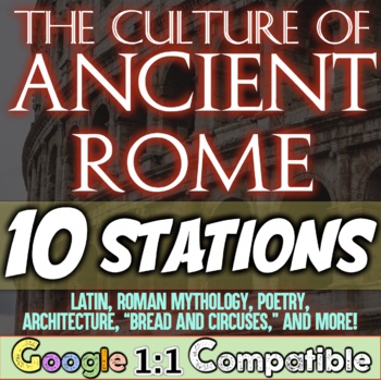
Ancient Rome Culture Daily Life Stations for Ancient Rome and Roman Empire
In this engaging Ancient Rome Culture Stations activity, students navigate through 10 different categories to understand a variety of aspects of culture in Ancient Rome. Students explore Roman Mythology, the Founding of Rome with Romulus and Remus, the poet Virgil and the Aeneid, Ovid, the Latin Language and other Romantic Languages, architecture, literature, "bread and circuses", gladiator games, chariot races, major achievements such as concrete, the Julian Calendar, aqueducts, the Roman the
Grades:
5th - 8th
Types:
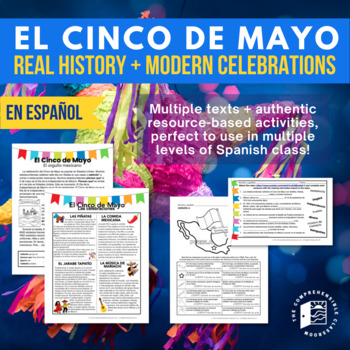
Cinco de Mayo Readings and activities for Spanish Class El Cinco de Mayo
Ready to teach the REAL history of Cinco de Mayo to your students? These Cinco de Mayo lesson plans for Spanish classes combine authentic resources with Spanish language texts written for language learners, providing you with everything that you need to tackle this misunderstood holiday with your Spanish students.OR: GET THE DISTANCE LEARNING VERSION HERE!This 80-page/slide, Spanish-language cultural unit is designed for Spanish 1 students and beyond to learn about the history and traditions of
Subjects:
Grades:
6th - 12th
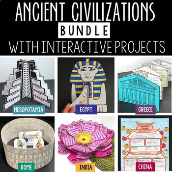
Ancient Civilizations Lessons, Activities, and Projects - Ancient History
This Ancient Civilizations Bundle includes 6 resources for teaching Mesopotamia, Ancient Egypt, Ancient China, Ancient India, Ancient Greece and Ancient Rome. Each resource includes learning activities to help students learn about each civilization’s geography, religion, achievements, politics, economy, and society. Designed to be engaging and interactive, these resources will make learning fun and exciting! Here’s a quick overview of each of the Ancient Civilization Resources: Ancient Mesopotam
Grades:
4th - 7th
Types:
CCSS:
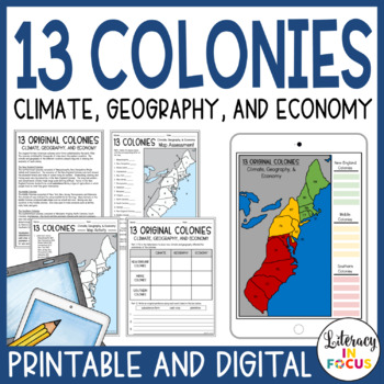
13 Colonies Map and Activities | Printable & Digital
Focus on climate, geography, and the economies of the early American colonies using this informational text, comprehension worksheet, map activity, and assessment! Students will gain a better understanding of how climate and geography played a role in shaping each colonial economy. A printable PDF version and digital version is included! **This resource is part of the no-prep 13 Colonies Unit Bundle. It includes FIVE printable and digital resources at a 30% discount price! A FREE 13 Colonies wo
Grades:
5th - 8th
Types:
Also included in: 13 Colonies Unit | Colonial America | Colonization | Map & Activities
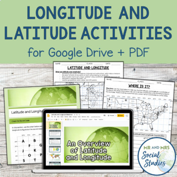
Latitude and Longitude Fun Activities and Practice Worksheet | Google Slideshow
If you are looking for a creative and no-prep resource to teach about latitude and longitude, look no further! This printable and digital activity includes an editable Google Slideshow to teach your students about latitude and longitude, and three different practice activities, giving your students the chance to decode secret messages, figure out mystery locations on a world map, and determine the coordinates of various US states.This resource goes beyond traditional longitude and latitude works
Grades:
5th - 8th
Types:
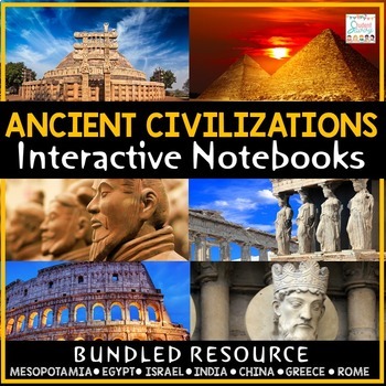
Ancient Civilizations Interactive Notebooks World History 6th Grade Worksheets
Ancient Civilization Interactive Notebook Bundle for designed for 6th Grade Social Studies! Both DIGITAL & PRINT versions are included! Contains the following units: The Stone Age, Ancient Mesopotamia, Ancient Egypt, Ancient Israel, Ancient India, Ancient China, Ancient Greece, and Ancient Rome. ***Important Update - Now includes additional, colorful Digital Google Slides Version for Google Classroom! Designed for Online Learning★★★NEW UPDATE 7/19 - The bundle now contains The Stone Age | Ea
Grades:
4th - 8th
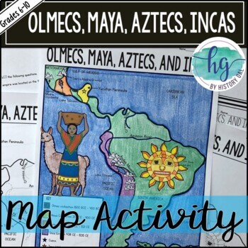
Mesoamerica (Olmecs, Maya, Aztecs) and Incas Map Activity - print & digital
Students will label and color a map to help them visualize and retain the location of the Olmecs, Maya, Aztecs, and Incas in Mesoamerica and South America. They will also label bodies of water and mountain ranges as well as use the map to answer 5 questions. What's Included with the Printed Map:*Blank map with 5 questions for students to answer (2 pages, uneditable pdf)*Blank map without questions (1 1/2 pages, uneditable pdf)*Map for students to just color (1 page, uneditable pdf)*Answer key fo
Subjects:
Grades:
6th - 9th
Types:
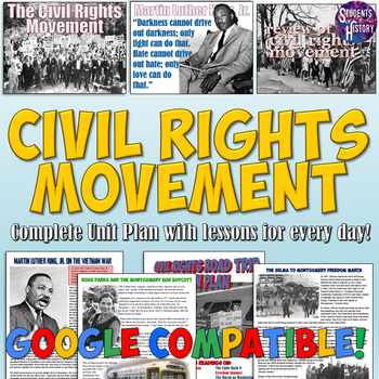
Civil Rights Movement Unit Plan Bundle: Activities, Projects, Worksheets, & More
This amazing Civil Rights Movement unit bundle includes over 40 resources to teach an engaging unit on the people, events, and history students need to know based on state and Common Core Standards!In addition to all the great resources below, you all receive lesson plans for every day of the unit! These include video and Google Drive links, ideas for differentiation, and more! All of the following individual resources are included. Check out each one for images, details, and reviews:A Civil Rig
Subjects:
Grades:
5th - 11th
Also included in: American History Mega Bundle Part 4: World War II to Modern America
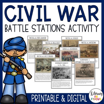
Civil War Activity | Battle Stations | Printable & Digital | Google Classroom
Get your students up, moving, and learning about several different Civil War battles with this NO PREP printable and digital activity! A perfect lesson for introducing or reviewing the decisive battles of the Civil War. Eight different battles are featured including Fort Sumter, Bull Run, Shiloh, Antietam, Gettysburg, Vicksburg, Sherman's March to the Sea, and the Surrender at Appomattox Court House. Printable PDF and Google Drive versions are included. **This resource is part of the printable
Subjects:
Grades:
5th - 8th
Types:
Also included in: Civil War Activities and Worksheets Printable and Digital Unit Bundle
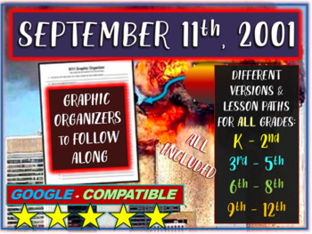
(9/11) September 11th: engaging 35-slide PPT (stats, images, videos, handouts)
THIS IS A MUST-HAVE FOR ANY TEACHER LOOKING TO TEACH ON 9/11. WITH DIFFERENT SLIDE VERSIONS, MULTIPLE HANDOUTS INCLUDED, AND NO PREP NEEDED, THERE ARE A NUMBER OF OPTIONS TO DELIVER AGE-APPROPRIATE LESSONS FOR THIS MOST IMPORTANT AND SENSITIVE TOPIC.THE HIGHLY ENGAGING, FULLY EDITABLE 35-SLIDES ARE EASILY MODIFIED AND TRULY DESIGNED TO TEACH ABOUT 9/11 (PATRIOT DAY) TO ALL GRADE LEVELS.***GOOGLE COMPATIBLE*** 1) Drag and Drop the Word Doc or PowerPoint into Google Drive2) Then Go to "FILE", and
Grades:
2nd - 12th
Also included in: SEPTEMBER Interactive, Engaging, Top-Rated Activities - 7-PACK BUNDLE
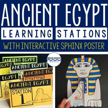
Ancient Egypt Learning Stations, Sphinx Poster, Ancient Egypt Activities
This resource contains six ancient Egypt learning stations that students can rotate through in small groups. Each learning station (or center) is designed to give students engaging and exciting learning experiences to practice, enrich, review, and enhance their learning. Students will visit each station with a small group and complete ancient Egypt activities. How cool is this? Students will create an interactive sphinx to showcase their learning. They’ll “build” flip-able parts of the sphinx po
Grades:
4th - 7th
Types:
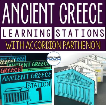
Ancient Greece Stations, Parthenon Accordion Book, Ancient Greece Activities
This resource contains six ancient Greece learning stations that students can rotate through in small groups. Each learning station (or center) is designed to give students engaging and exciting learning experiences to practice, enrich, review, and enhance their learning. Students will visit each station with a small group and complete ancient Greece activities. Here’s the fun part! During the learning stations, students will create an accordion book to showcase their learning. They’ll “build” f
Grades:
5th - 8th
Types:
Showing 1-24 of 12,144 results

