1,065 results
Free elementary geography resources for Microsoft Word
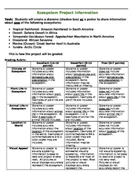
Ecosystem Research Project
Ecosystem Research Project includes:*Parent introduction letter with expectations (2 pages)*Note taking sheet (2 pages)*Grading rubric (1 page)*Photos of student example projects (1 page)This project addresses Tennessee 3rd grade social studies (geography) and science standards. Students research and create a diorama box or poster to represent a specific ecosystem around the world: Ocean- Great Barrier Reef, Grassland- African Savannah, Tundra- Arctic Circle, Temperate Deciduous Forest- Appalach
Subjects:
Grades:
2nd - 4th
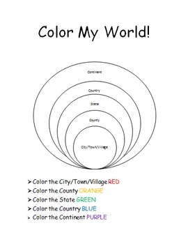
The World Where I Live...
This is a jam-packed, 40 page unit full of multi-sensory and multi-grade-level activities all centering on the relationships between the following concepts: city/town/village, county, state, country, continent, and community helpers. The following mathematical concepts are also explored: range, median, mode, and average (mathematical mean).
The following activities are included in this unit: Key vocabulary exercise, coloring Venn diagram activity, "Greater Than, Less Than" activity page, "My
Subjects:
Grades:
K - 8th
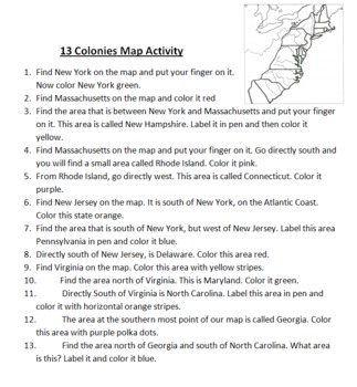
13 Colonies Map Activity
This is a simple mapping activity for Colonial America. I've included instructions for finding the different colonies and how they are to color them. The instructions include using directions like north, south, east, and west. All you need to provide is your favorite map of the 13 colonies to use.
Also included is mnemonic for remembering the 13 colonies and a bonus point for drawing a picture of this mnemonic.
I give each student their own map and instruction sheet. I then have students take
Subjects:
Grades:
4th - 5th
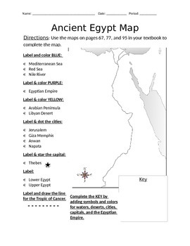
Blank Ancient Egypt Map
I have used this blank Ancient Egypt map as an introduction to my ancient Egypt unit with 6th grade regular and ELL students in social studies. Not only does this help with students' geography skills, but it helps practice following basic written directions.
Subjects:
Grades:
5th - 7th
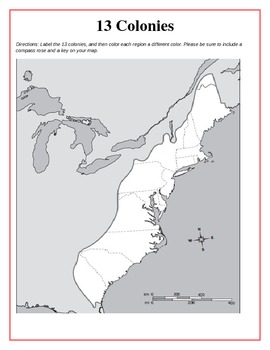
13 Original British Colonies Blank Map
This is a map of the original 13 British Colonies that is blank and able to be filled out by students. The directions also state that students are to color the three regions and include a key and compass rose on their maps. Great way for the students to learn about the 13 Original colonies.
If you like this printable, please visit my store and see what else I have!!! www.teacherspayteachers.com/store/Kathryn-B
Subjects:
Grades:
5th - 12th
Types:
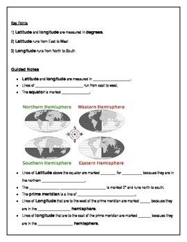
Teach Latitude and Longitude
This lesson helps students learn latitude and longitude with ample guided notes and independent practice. Print, distribute, and you're ready to teach!
Grades:
4th - 7th
Types:

Travel Brochure Template
This travel brochure template can be used for practicing research skills in younger grades (2nd or 3rd). Not only can this be used to demonstrate research of far away places via research books or the internet, but can also be used for much simpler, first-hand tasks like researching the library, nurse's office, classroom next door, friend's house etc. This may be a fun activity for the first week back to school. On the template itself, the three blank squares in the top portion and for students t
Subjects:
Grades:
1st - 3rd
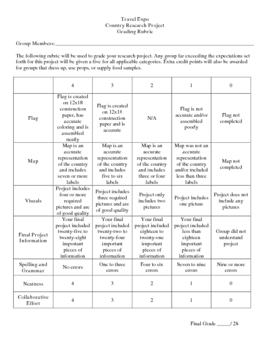
Country Research Project
** Uploaded Word document. Items will need to be copied/pasted into documents to fix some formatting issues.
This Country Research Project was designed as a group project for use with grades 5-8. It includes all of the introduction/explanation papers, worksheets for history, culture, travel, and geography as well as the presentation rubric and worksheet to go along with the Travel Expo (if you so choose to have one). There is a timeline included that covers roughly 8 days and includes time in t
Subjects:
Grades:
5th - 8th
Learn the 50 States and Capitals!!
This is a great resource to help your students learn the 50 United States and Capitals!
It includes 19 pages for this State and Capital Unit. There are 17 pages to use to break down the states into weeks. There is a page for them to label the state abbreviations on . Finally, there is a page for them to take the weekly quizzes or worksheets on.
I used it as a weekly quiz, but you could use however. Kids loved learning them and loved the bonus option I included!
Subjects:
Grades:
3rd - 6th
Types:
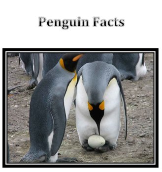
Penguin Facts
Whenever I introduce a lesson, I try to have loads of pictures and information. I felt the my students took well to this Penguin lesson so I thought I'd post it. Since I didn't take the photographs I'm not charging. I did a lesson with my Kinder art classes on drawing habitats and will use the same document to intro a sculpture lesson with my first grades. I love it and I hope you do too!
***********please give a rating :)**************
Subjects:
Grades:
PreK - 2nd
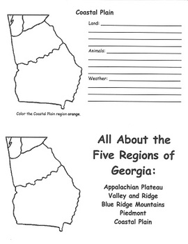
Georgia Regions FlipBook Template
This flipbook was designed to help 2nd grade students meet Georgia Performance Standard SS2G1(a). Students create flipbooks that describe the unique characteristics of the land, animals, and climate of each of the 5 regions of Georgia's geography.
Subjects:
Grades:
2nd - 3rd
Types:

Immigration in America Unit
This is an interdisciplinary unit on immigration in America that spans the course of two weeks. Students begin looking at the past and later, do a culminating project on their own family's immigrant past. Below are more details:
Unit Rationale
Besides Native Americans, everyone here in the United States has an ancestor to thank for the reason they are here. This unit gives students an understanding of our immigrant past, and helps bring awareness of the multiple backgrounds and immigrants in o
Grades:
4th - 6th
Types:
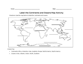
Label the Continents and Oceans Map Activity
This map skills activity is designed to help students develop their ability to read and interpret maps. By labeling the continents and oceans, students will become more familiar with the geographic features of the world and the different regions.This activity can be used as an introductory lesson to a larger unit on geography or as a quick warm-up activity to start a class period. It can also be used as a formative assessment tool to check students' understanding of basic geography concepts.This
Subjects:
Grades:
1st - 5th
Types:
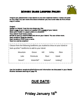
Mystery Island Project Instructions - Landforms
Imagine you discovered a new island no one ever explored before. It does not exist on any map! You can name this island whatever you want and make its first official map or model.
Use These set of Instructions for a Project Assignment with your LANDFORM Unit. I used this for my second grade class. It requires them to create an island that they discovered. They must name it according to its shape. They can get very creative with this. I have made an example of a final project: "Shark Island" in
Subjects:
Grades:
K - 5th
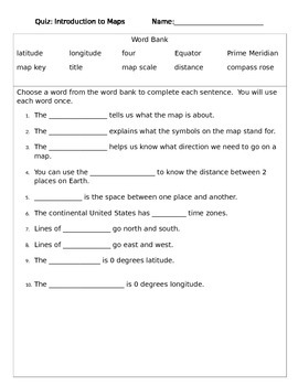
Map Quiz - Introduction to Map Skills
This is a quiz I used with my 3rd grade students to test their knowledge of the vocabulary associated with basic map skills.
Subjects:
Grades:
3rd - 4th
Types:
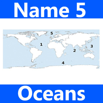
Name 5 Oceans Geography Classroom Activity Map Worksheet 1st-4th Grade
This is the perfect classroom activity for 1st, 2nd, 3rd, and 4th Grade students who are learning where the different oceans are. This five question geography worksheet has them finding and naming the different oceans of the world.
Grades:
PreK - 12th, Higher Education, Adult Education, Staff
Types:
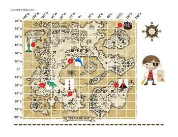
Longitude and Latitude Treasure Hunt Map
Send your students on a treasure hunt by finding latitude and longitude coordinates along the way!
Subjects:
Grades:
3rd - 5th
Types:
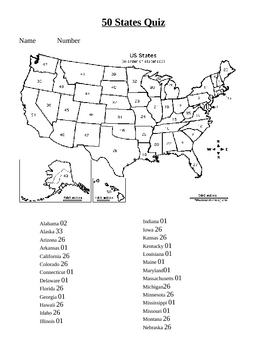
50 states practice
The students for some reason love practicing and taking tests on the computer! This was created using the forms feature of Microsoft word. You can also put this on your interactive whiteboard and let the kids do the rest! Download the free example to check it out!
By PowerPoint Maniac
*******************************************************
Check out my other Social Studies Products!
Underground Railroad Activity
Australia Map and Timeline lesson
China and Chinese New Year unit
Community stud
Subjects:
Grades:
2nd - 6th
Types:
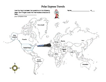
Polar Express Travels
Students will use their knowledge of cardinal and intermediate directions to identify which direction the polar express traveled. There is a map to help them identify the directions for the 10 questions. Answer Key is not included. At the end there is a writing activity for the students.
Grades:
2nd - 4th
Types:
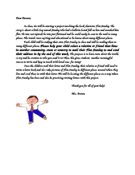
Flat Stanley Project Parent Letter
The Flat Stanley Project is so much fun! After reading stories about Flat Stanley, a little boy who was flattened by a bulletin board and who travels all around the world, students will create their own Flat Stanley in class. They will then choose a relative or family friend to send their Flat Stanley to. The relative or family friend then takes pictures of Flat Stanley in different places and send them back with post cards from where he visited. In class, we then plot on a map all of the places
Subjects:
Grades:
2nd - 5th
Types:

Countries of Europe Word Search and Activity
A fun activity for any grade teaching about the countries of Europe. Find all the words in the word search, then find the secret message left over!
Subjects:
Grades:
3rd - 12th
Types:
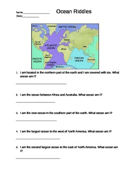
Ocean Riddles- Labeling the Five Oceans
This is a geography worksheet where students solve riddles about the five oceans by locating them on a world map. The Southern Ocean is labeled on this map. Students need knowledge of north, south, east and west. It is appropriate for elementary students in grades first, second, third, fourth or fifth grade.
Grades:
1st - 5th, Adult Education
Types:
North America Geographic Regions Youtube Video Worksheet
This 5 question worksheet goes along with this video. Link. The video shows video footage of each of the 8 regions. This lesson would be best completed at the beginning of the unit before telling students what the characteristics of each of the regions are. These questions can be easily adapted to use in google forms, canvas, or some other learning management system used for virtual learning.
Grades:
4th - 12th
Types:
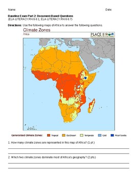
Geography Map Skills DBQ
This is a baseline assessment I created to assess where students are in reading different types of maps. It includes questions on a population density map, a climate zone map, and a short response that asks about the relationship between the two.
Subjects:
Grades:
5th - 8th
Types:
Showing 1-24 of 1,065 results


