🎉 Teacher Appreciation: Save up to 25% using promo code THANKYOU24. Sale ends in 13 hrs 57 min. Learn more
4,800 results
Geography graphic organizers
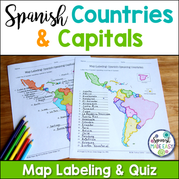
Spanish-Speaking Countries and Capitals Maps and Quiz
This is a map labeling activity and matching quiz over the 21 Spanish-speaking countries and capitals. Students will label and identify the 21 Spanish-speaking countries and capitals in Spanish. This is a great activity when reviewing Spanish-speaking countries and capitals or Spanish geography. Makes a great coloring page. Answer keys are included.
Countries included:
España, México, Costa Rica, El Salvador, Guatemala, Honduras, Nicaragua, Panamá, Cuba, La República Dominicana, Puerto Rico, Ar
Subjects:
Grades:
6th - 12th
Also included in: Spanish Countries and Capitals Geography Bundle
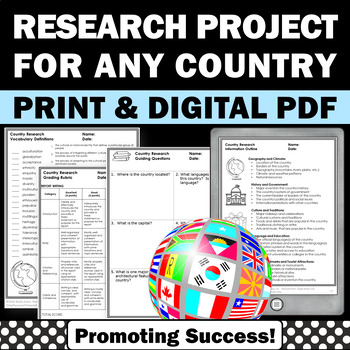
Country Research Projects Study Report Countries Around the World Research
Country Research Projects: This newly revised (July 2023) country study worksheet packet will help your 4th grade, 5th grade, and 6th grade social studies students conduct a country study research project for countries around the world. It not only includes country research graphic organizers and templates and for gathering information and conducting country research, but also guidance and skills for country report writing and giving a presentation. Grading rubrics, answer keys, differentiated a
Subjects:
Grades:
4th - 7th
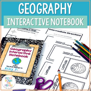
Geography and Map Skills Interactive Notebook | Print and Digital
Teaching geography and map skills doesn't have to be boring! This is a great way to teach geography and map skills. Students remain engaged through the hands-on portion of the interactive notebook. In addition to the hands-on activities, students produce a product that is useful to develop good study habits. This resource includes both the print and digital ready versions all in one. You have access to both in case you find yourself in need of one or the other throughout the school year. Templat
Grades:
3rd - 6th
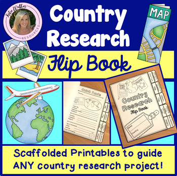
Country Research Project
Scaffolded printable flip book that can be used for ANY country research project!This resource is now available as a bundle with the matching Google Slides version! Click here to view and save $$$. Perfect for distance learning and hybrid teaching. This resource is also available in a bundle that includes 5 of my best-selling flip book resources! Click here to view and save $$$!Click here to view the digital Google Slides version. This ready-to-print flip book template can be used to scaffol
Grades:
3rd - 6th
Also included in: Country Research Project Bundle
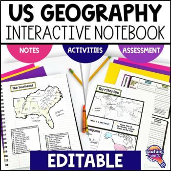
United States Geography & U.S. Regions EDITABLE Interactive Notebook & Test
Support upper elementary students’ reading skills with this U.S. Geography and its Regions Interactive Notebook. This editable unit is a complete study of United States Geography, including interactive activities, maps, vocabulary, graphic organizers, and assessment. Students will explore physical geography, such as mountains and rivers, and the regions of the United States. This interactive notebook includes activities, maps, and organizers on the following topics:United States Map Activity Vo
Grades:
4th - 6th
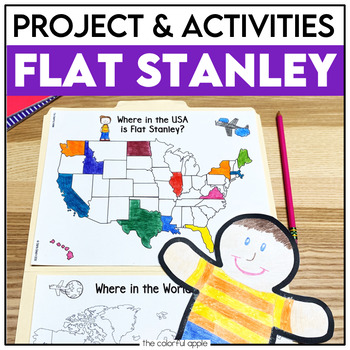
Flat Stanley Project
This Flat Stanley project is an engaging integrated unit for your students! This unit has everything you need to mail your own Flat Stanley projects around the world. Your students will love getting mail (and won't even know they are learning)!This Common Core aligned resource also includes Flat Stanley comprehension questions, vocabulary words and graphic organizers to help students understand the novel.This makes for a great activity for students! Students will create their own Flat Stanley p
Subjects:
Grades:
2nd - 4th
13 Colonies Regions New England, Middle, & Southern Colony Regions
In this 13 Colonies and Colony Regions activity, students compare the New England, Middle and Southern Colony Regions. Students read the included student-friendly article (either in a group, individually, or as a class), then fill in the details on the included graphic organizer. This serves as a great intro to the 13 Colonies, or as a great way to learn the varying characteristics of the New England, Middle, or Southern colony regions.This resource includes a paper in-class version and a 1:1
Grades:
5th - 8th
Types:
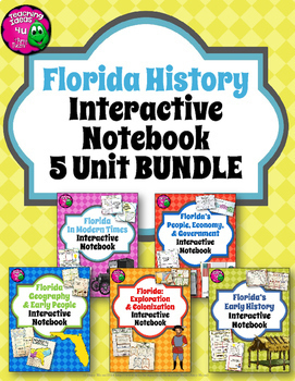
Florida History Interactive Notebook Social Studies BUNDLE 4th Grade
Florida History Interactive Notebook Social Studies BUNDLE 4th Grade This bundle of Florida History interactive notebooks will cover all the 4th grade Florida history standards. Activities including graphic organizers, maps, and other interactive pieces. The interactivities are created to support students' reading skills. The guiding questions and topics provided help students to determine which facts are main ideas. Please note that this unit does not cover the new financial literacy standards
Grades:
4th - 5th
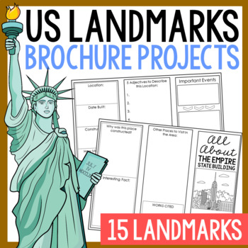
USA LANDMARKS Research Projects | United States Geography Report Activity
This bundle of (15) two-sided tri-fold research brochure templates allows students to dig deeper into facts about famous landmarks in the United States. You'll also find a BLANK template to use with ANY landmark that is not included with this resource. Makes a great addition to your American history and geography unit studies throughout the year. Keep these in your early finisher folder or your sub-folder for no-prep fun.CLICK HERE to save 30% on this resource in the American Landmarks activity
Subjects:
Grades:
3rd - 7th
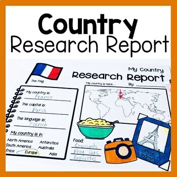
Country Research Report Worksheets and Graphic Organizers Google Slides
Are you looking for engaging activities for writing a country research project? These country research graphic organizer worksheets are perfect for your literacy and social studies lessons about countries. They are ideal for research projects and report writing. They are also great for reading lessons with informational texts.These informational essay graphic organizers are offered as no prep printables, as well as in digital formats (TPT Easel and Google Slides). Here's the thing. You want your
Subjects:
Grades:
1st - 3rd
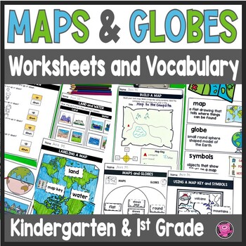
Maps and Globes Worksheets - 1st Grade Map Skills - Kindergarten Mapping Skills
Introduce and teach kindergarten and first grade students all about Maps and Globes, Cardinal Directions, Landforms, and Bodies of Water using this fun and engaging geography unit! These map skills worksheets cover landforms, oceans, relative directions, maps, globes, map keys and symbols, compass rose, Venn Diagrams, 24 geography words, and let your students design their own maps. These maps and globes activities are designed to use with ANY social studies curriculum!Students will practice, cre
Grades:
K - 1st
CCSS:
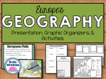
Geography of Europe: Physical Features (SS6G7a)
This file is a resource pack about the major physical features in Europe: the Danube River, Rhine River, English Channel, Mediterranean Sea, European Plain, the Alps, Pyrenees, Ural Mountains, and the Iberian Peninsula (as outlined by the Georgia Standard of Excellence – SS6G7a,b). This lesson includes a presentation with important facts about the features and where they are located, as well as colorful images. There is also a graphic organizer for note-taking during the presentation, a quick ma
Grades:
6th
Also included in: Europe Unit BUNDLE - Geography, History, Government, Economics, Etc.
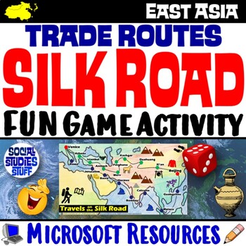
Silk Road Trade Routes FUN Game Activity | Cultural Diffusion and Geography
Play a FUN “Travels on the Silk Road” game that students LOVE! They must identify goods & ideas spread on the trade routes while competing to amass the greatest fortune along the way! Print & interactive, digital versions of the materials are included. Made for traditional in-class learning or digital 1:1 classrooms. Everything you need is included!Includes:Explain Slides: Game DirectionsFill-in Scorecard & ChartGame Task CardsGame BoardAnswer KeyTeacher Reference GuideVocabulary:Sil
Grades:
5th - 12th
CCSS:
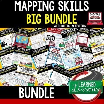
Geography Mapping Skills BUNDLE (World Geography Bundle), Mapping Activities
This Mapping Skills BUNDLE, Google Classroom, Print & Digital Distance Learning covers important foundational mapping skills topics such as Geography Overview, Types of Maps, Map Elements, Key Places on Maps, Latitude, Longitude, Time Zones, Climate Zones, Five Themes of Geography, & Biomes. It also includes historical thinking skills topics such as primary and secondary sources, artifacts, timelines, political cartoons, debates, push/pull factors, charts & graphs, comparing, contras
Grades:
6th - 12th
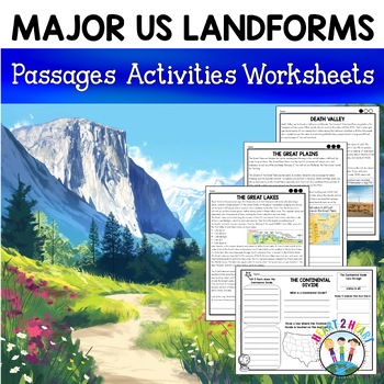
Major US Landforms Yellowstone National Park Yosemite National Park Grand Canyon
Major US Landforms: Great Lakes, Yellowstone, Grand Canyon, Arches National Park, Yosemite, Great Plains, Death Valley & more! This pack is a perfect companion to a unit on geography! It includes everything you need to teach about the 11 Major United States landforms and physical features in an interactive way. Newly Updated with leveled reading passages with 3 levels of difficulty.These geographical features are included:The Great BasinThe Gulf of MexicoThe Great LakesDeath ValleyThe Atlant
Grades:
3rd - 5th
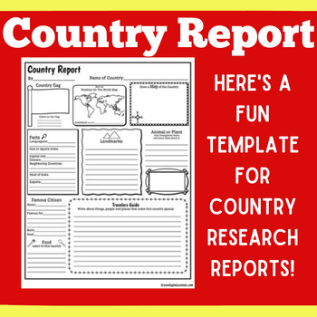
COUNTRY RESEARCH REPORT Template Project Projects | 1st 2nd 3rd 4th 5th Grade
COUNTRY RESEARCH REPORT Template Project Projects | 1st 2nd 3rd 4th 5th GradeYour students will love this country research report template! Perfect for your students to use as they research and write about a different country. This country research graphic organizer template helps them to organize their facts and information in a clear and concise way!❤ CLICK HERE TO FOLLOW GREEN APPLE LESSONS!
Subjects:
Grades:
1st - 5th
Also included in: Graphic Organizer Organizers Report Project Template BUNDLE
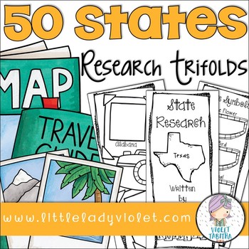
50 States Research Project Report Trifold Brochures
Looking for a fun way to research the Fifty States? This packet includes double sided brochures for each of the United States! Students will use these templates to record their research project. Also included is an early finisher map. Students can either use it to label or color the states.
The brochures include:
State Symbols (state bird, state flower, state animal, state flag)
Map Outline
Businesses and Natural Resources
Interesting Facts
Where on the Map
Population
Capital
Current Govern
Subjects:
Grades:
3rd - 5th
Geography Activities | 12 Major Landforms and Bodies of Water | Reading Passages
This fun unit is perfect for the back to school season to introduce 12 major landforms and reinforce geography skills! It includes 12 major landforms with reading passages, organizers, vocabulary posters, flip book, and a unit test.This activity pack is perfect for introducing and reviewing geography skills through creative hands-on activities. Students will love creating this geography flip book in centers or social studies stations. All the activities in this pack will reinforce and expand the
Grades:
2nd - 5th
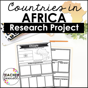
Country Research Project Posters - Africa
The Africa Research Project is the perfect tool for teachers looking for an engaging way to help their students learn about African countries. With this unique project, teachers can allow students to explore an African country of their choice in-depth, gaining a greater understanding and appreciation of its geography, population, government type, current leaders, currency, and much more.The research process has been simplified with comprehensive graphic organizers that provide structure for each
Grades:
3rd - 8th
3rd Grade Social Studies Interactive Notebook BUNDLE
This is the bundled version of my Social Studies Interactive Notebooks. The bundled version comes at a discounted price.
The sets included in this bundle are:
Geography & Regions Interactive NotebookCulture & Human Systems Interactive NotebookEconomics Interactive NotebookGovernment & Civics Interactive Notebook
If you have purchased all of the sets individually, please do not purchase again.
These sets are aligned to Florida's social studies standards. They would also be appr
Subjects:
Grades:
2nd - 4th
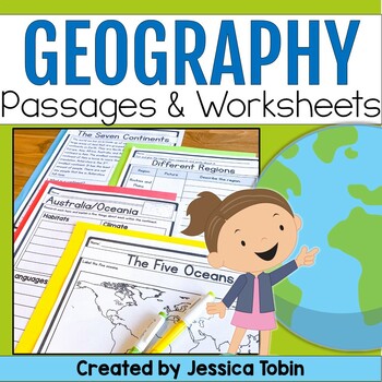
Geography Unit, US & World Geography Worksheets and Passages, Social Studies
This no-prep world geography social studies resource is a perfect supplement to use for your lessons. It offers an introduction to geography and large geographical designations and then focuses on each of the seven continents. There are reading comprehension passages, graphic organizers, cut and glue activities, and answer keys. There is also a digital conversion of this resource available in Google Slides. They have been digitally converted so that you can use the paper version or digital conve
Subjects:
Grades:
2nd - 3rd
Travel Brochure
Students will love creating their own travel brochure! Students can research, create, and present information about any country! Great for culture studies and country presentations. This format can also be made into a travel style pamphlet/booklet with multiple pages. Choose from 8 different cover layouts and 6 different inside layouts. Includes sections for:*pictures*map*Interesting Facts*Bubble Map for vocabulary words*blank picture/writing lines for any additional information *culture*econom
Grades:
1st - 5th
Rocks and Minerals - Types of Rocks, Rock Cycle, Minerals and More!
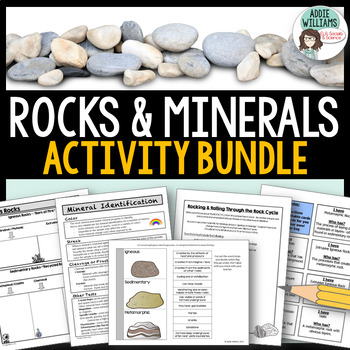
Teaching about rocks and minerals? These five resources will help students learn and review minerals, the three different types of rocks, and the rock cycle. The bundle includes graphic organizers, a review game, an interactive notebook template, mineral identification activities and more!Includes the following FIVE products:Types of Rocks Graphic Organizers - 4 different organizers and review questions (with answer keys)Rockin' Through the Rock Cycle - students have to write a story from the
Subjects:
Grades:
7th - 10th
5 Major Climate Zones PowerPoint Slides | Chart and Mapping Activity
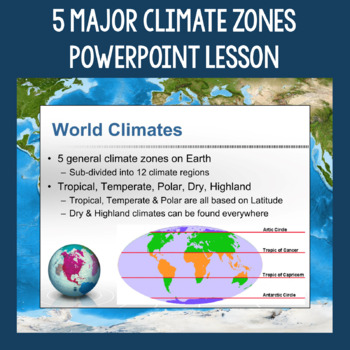
This Climate Zones Lesson and Activity includes a full PowerPoint presentation that address the characteristics, general locations, plants, animals, and specific location examples of the 5 major climate zones (polar, temperate, tropical, dry, highland). Students can fill out the included chart as you go over the presentation and a follow-up mapping activity puts their new knowledge of the climate zones to use. A filled out version of the chart, a blank version of the chart, and a blank map are a
Subjects:
Grades:
5th - 12th
Also included in: Geography Skills PowerPoint Lessons Bundle
Showing 1-24 of 4,800 results

