942 results
Geography word walls
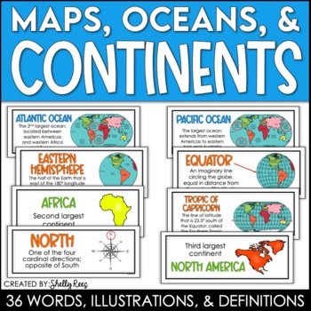
Continents and Oceans Maps and Posters | Geography and Maps Word Wall
Continents and Oceans and Map Skills can be fun to teach, especially when you have this great set of word wall cards. Each card includes the word, definition, and a clear, colorful illustration. Make a great bulletin board in just minutes!Click HERE to save 20% with the Continents, Oceans, and Map Skills BUNDLE!Please click on the PREVIEW above to get a clear picture of everything included.PERFECT for visually reinforcing landform vocabulary!This helpful continents, oceans, and maps word wall se
Grades:
2nd - 8th
Also included in: Maps, Continents and Oceans, Landforms, and Map Skills Bundle
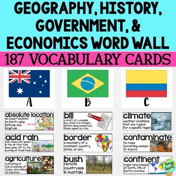
Social Studies Word Wall Vocabulary Cards, Bulletin Board Idea
This product is a word wall to help teach important social studies vocabulary words to students. It can also be used as a social studies bulletin board!The specific regions included are Europe, Australia, Latin America and the Caribbean, and Canada. However, the domains include geography, government, economy, and history, so this resource can be used in most social studies classrooms. Also, many terms are not specific to these regions and can be applied broadly.Each word card includes the vocabu
Grades:
3rd - 11th
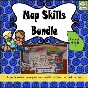
Map Skills Georgia Grade 3 (Task Cards Included) Meets New GSE's
This bundle is ideal for Georgia third grade teachers teaching US Rivers (St. Lawrence, Hudson, Ohio, Mississippi, Rio Grande, and Colorado), US Mountain Ranges (Rocky Mountains and Appalachian Mountains), Equator, Prime Meridian, and Lines of Latitude and Longitude. The set addresses all the Map Skills standards for third grade social studies GSE's SS3G1-SS3G2.Click Here to Save 30%!Topics include:Major Rivers-Mississippi, Ohio, Rio Grande, Colorado, St. Lawrence, and HudsonMountain Ranges-Rock
Subjects:
Grades:
3rd
Types:
Also included in: Georgia Third Grade Social Studies BIG Bundle (Meets New GSE's)
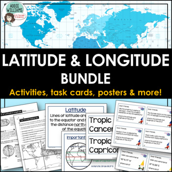
Latitude and Longitude Bundle - Activities, Task Cards, & Posters
Latitude and Longitude - Everything you need to teach and practice latitude and longitude skills! 1. Latitude & Longitude Reference Sheets and Activities - reference sheets, worksheets and activities to teach students how to find a spot on the globe using latitude and longitude. Includes answer keys. 11 pages.2. Latitude & Longitude Task Cards - 4 different sets of task cards (12 cards per set, Canadian set has 14) with varying degrees of difficulty. Includes answer keys. Includes se
Subjects:
Grades:
5th - 9th
Types:
The Seven Continents
Did you know that all the continents end with the same letter they start with!?EuropeAntarcticaAfricaAustraliaNorth AmericaSouth AmericaAsiaDid you know that The Statue of Liberty in the United States has 7 rays on her crown which represent the 7 continents!?This pack is full of fun facts and ways to help your students learn about the seven continents in an interactive way!----------------------------------------------------------------------------------------------This pack has over 60 pages to
Subjects:
Grades:
K - 3rd
Types:
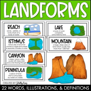
Landforms and Bodies of Water Posters and Word Wall
Landforms and bodies of water can be fun and easy to teach, especially when you have this beautiful set of word wall cards. Each card includes the word, definition, and a clear, colorful illustration. EASILY make an amazing landforms wall display in minutes!Click HERE to save 20% with the Continents, Oceans, Maps, and Landforms BUNDLE!Please click on the PREVIEW above to get a clear picture of everything included.This complete landform word wall set includes 22 vocabulary posters:basinbaybeachca
Grades:
3rd - 6th
Also included in: Maps, Continents and Oceans, Landforms, and Map Skills Bundle
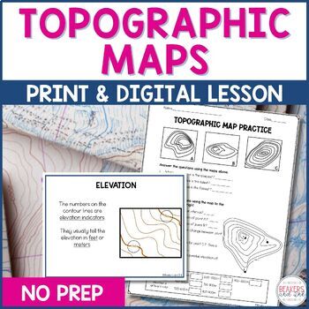
Topographic Maps Complete Lesson | Topographic Map Activity
Your students will be reading topographic maps in a snap with this complete topographic map lesson. Included in this digital and print topographic map lesson are no-prep resources to teach your students to read contour lines, determine contour intervals, and identify elevation. The digital version can easily be shared in Google Classroom.Take a look at the in-depth preview for a closer look at this topographic map resource! Included in this topographic map resource:Topographic Map Presentation
Subjects:
Grades:
4th - 8th
NGSS:
4-ESS2-2
Also included in: Topographic Map Activity and Topographic Map Worksheets Bundle
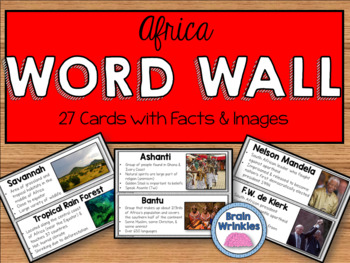
Africa Word Wall
These word wall cards are the perfect way for your students to familiarize themselves with important vocabulary words from the Africa Unit (as outlined by the Georgia Standards of Excellence: SS7G1, SS7G2, SS7G3, SS7G4, SS7CG2 and SS7H1). Please see the preview file for a complete list of the words included. The cards include the vocabulary term, important facts, and images. Just print out the cards, laminate them, and tape them to you wall and you are good to go!
Included in this file:
~Georgi
Grades:
7th
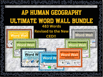
AP Human Geography Word Wall MEGA BUNDLE
This word wall has newly updated to the new CED and revised June 2023!This word wall has 438 words which are listed belowIf you're teaching AP Human Geography, then you know the immense amount of vocabulary your students need to know to be successful in the class. Help them out with these visually appealing word walls! Click on each word wall to see the list of words that are in the bundleFirst year or veteran teachers will love these. Print out all the words or the ones you are mainly teaching
Subjects:
Grades:
9th - 12th
Types:
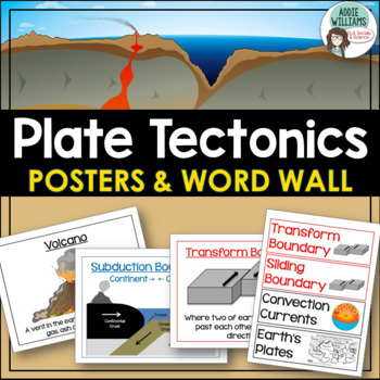
Plate Tectonics Posters - Volcanoes, Plate Boundaries, & Earthquake Faults
Plate Tectonics, Volcanoes, Earthquakes, and More! 24 posters and 30 word-wall strips to use in a plate tectonics unit to help your students learn and review the main concepts.Includes:- Types of volcanoes (Composite/stratovolcano, shield, cinder cone)- Plate Boundaries (Divergent, convergent... posters for each type)- Earthquakes & Faults (Normal, reverse, strike-slip/transform, focus, epicenter)Posters can be printed in black/white or in color! They look great laminated and posted on the w
Subjects:
Grades:
7th - 10th
Types:
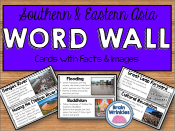
Southern and Eastern Asia Word Wall
These word wall cards are the perfect way for your students to familiarize themselves with important vocabulary words from the Southern and Eastern Asia Unit (as outlined by the Georgia Standards of Excellence: SS7G9, SS7G10, SS7G12, and SS7H3). Please see the preview file for a complete list of the words included. The cards include the vocabulary term, important facts, and images. Just print out the cards, laminate them, and tape them to you wall and you are good to go!Included in this file:~Ge
Grades:
7th
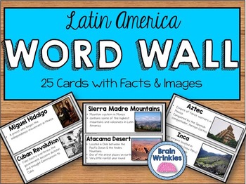
Latin America Word Wall
These word wall cards are the perfect way for your students to familiarize themselves with important vocabulary words from the Latin America Unit (as outlined by the Georgia Performance Standards: SS6G1, SS6G2, SS6H1, SS6H2, and SS6H3). Please see the preview file for a complete list of the words included. The cards include the vocabulary term, important facts, and images. Just print out the cards, laminate them, and tape them to you wall and you are good to go!
Included in this file:
~Georgia
Grades:
6th
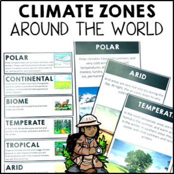
Climate Zones Maps Vocabulary Cards and Posters
These climate vocabulary cards and posters will help your students to understand what the major climate zones in the world are. They came with 4 options: vocabulary cards for your word wall (with image and definition), large poster with image, large poster with real photograph and large poster you can turn into either a student workbook piece or colour and decorate for the classroom wall.Note: if you are looking for the simplified Australian climate zones please look at this resource Climate Zon
Subjects:
Grades:
2nd - 4th
Types:
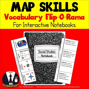
Map Skills Vocabulary Interactive Notebook
Map Skills Vocabulary Flip-O-Rama for Interactive Notebooks! Have students cut these Map Skills flippers out, glue them in their notebooks and they’re ready to learn! These Map Skills Flippers are a great way to teach and organize map skills vocabulary whether whole group, in centers, or individually. They have a map skills picture on the front and room for students to write the definition on the back.
This product is also available in Spanish: Spanish Map Skills Flip-O-Rama
This Map Skills
Grades:
3rd - 6th
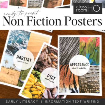
Information Text Writing Word Wall Cards + Posters - BUNDLE
Grab all three sets of our beautiful animal non-fiction word wall cards! Perfect for creating a word wall for learning to write information or informative texts. This set of over 110 different word wall cards focuses on where animals live, what they look like and what they eat. Real life photos have been used throughout to creating this gorgeous resource.Download also includes our three Information Text Posters - Habitat/Appearance/Diet, to help tie the concept together.Use our animal posters to
Subjects:
Grades:
Not Grade Specific
Types:
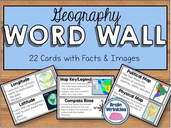
Geography Word Wall
These word wall cards are the perfect way for your students to familiarize themselves with important vocabulary words related to basic geography concepts. Please see the preview file for a complete list of the words included. The cards include the vocabulary term, important facts, and images. Just print out the cards, laminate them, and tape them to you wall and you are good to go!
Included in this file:
~Vocabulary Word List – slide 2
~Geography Word Wall cards (22 total) – slides 3-13
Here a
Subjects:
Grades:
5th - 7th
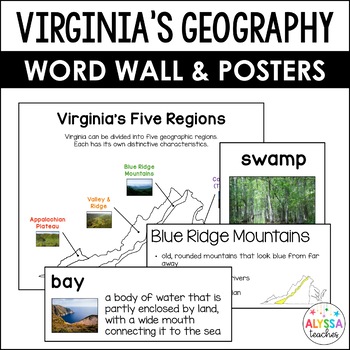
Geography of Virginia Word Wall/Poster Set (VS.2a-c)
Word walls are a wonderful way to support your students' learning! This visually rich set of vocabulary cards and posters is perfect to display on a concept wall or word wall in your classroom as you teach your students about the geography of Virginia! Leave it up to reinforce content all year long!Click here to save 20% by buying all of my Virginia Studies Word Wall/Poster Sets in one bundle!What's Included:24 vocabulary word wall cards with pictures and definitions24 vocabulary word wall cards
Subjects:
Grades:
4th - 5th
Also included in: Virginia Studies Word Wall and Posters Bundle (VS.2-10)
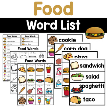
Food Words - Writing Center Word Lists
Are you looking for new ideas for your writing centers? Place this set of food words in your center for writing inspiration. Just, print, cut, and WRITE!This pack includes:Full page color images with words (Bigs)Full page black and white images with words (Bigs black and white)Two sets to a page (Littles)Pocket Cards- perfect for word walls or pocket charts ♥ReneeThe Teacher Bag-------------------------------------------------------------------You may also like these, check them out! →The Little
Subjects:
Grades:
PreK - 2nd
Types:
Also included in: Writing Word Lists - The Everything Word List Bundle
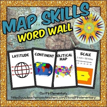
Maps Skills Vocabulary Word Wall Posters
Map Skills Word Wall! This is a set of 24 map skills vocabulary terms with pictures to post in your classroom on a map skills word wall or bulletin board. I’ve found that having the pictures alongside the words on my word wall has been especially helpful for my ELL students.
As you can see in the thumbnails, these print out on a regular 8 ½ by 11 sheet of paper. There are 2 map skills terms with a picture representing them on each page. You just need to cut them in half and they’re ready t
Subjects:
Grades:
2nd - 5th
Types:
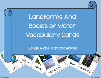
Landforms and Bodies of Water Vocab Picture Cards
Vocabulary Pictures cards perfect for any early childhood or ESOL classroom!
* mountain
* hill
* plain
* farmland
* waterfall
* island
* valley
* pond
* lake
* river
* ocean
* shoreline
* globe
* model
* coast
* stream
* gulf
* bay
* continental shelf
* continental slope
* abyssal plain
* wetlands
* groundwater
* glacier
* iceberg
* ice caps
* canyon
* plateau
* trench
Grades:
PreK - 1st
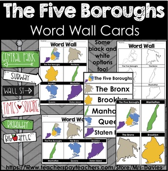
Five Boroughs of New York City Picture Word Walls
This file contains picture word wall cards of the the Five Boroughs of New York City. The Bronx, Brooklyn, Manhattan, Queens, and Staten Island. Word Walls come in different formats and orientations on letter paper 8.5 x 11". Great to accompany any unit on the five boroughs of New York City. These word wall cards focus on the shapes/ outlines of each of the boroughs. These shapes are not to scale and are hand drawn. Some options are color and black and white. See preview for more details. This f
Grades:
Not Grade Specific
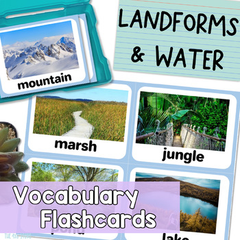
Landforms and Bodies of Water Vocabulary Flashcards with Real Pictures
Are you looking for landform and bodies of water flash cards with realistic pictures or photos for your students? Do you find clipart flashcards unappealing to your older or adult English leaners?These 28 realistic flash cards work perfectly for English language learners, speech therapy students, students with special needs, and more! Give your students REAL, context-driven learning experiences that provide plenty of opportunity for all kinds of extended conversations and discussions.All flash
Subjects:
Grades:
Not Grade Specific
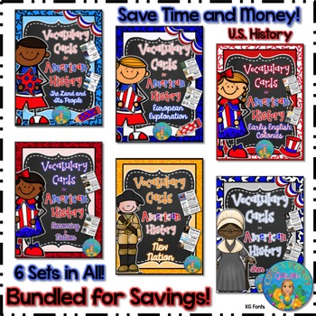
Bundled for Savings Illustrated American History Vocabulary Cards
All 6 sets of my illustrated vocabulary cards are included in this huge bundle! These illustrated vocabulary cards with definitions are designed for upper elementary social studies. However, they may be used with any curriculum that would benefit from visual representations and explanations of key terms related to United States early history or geography. All the cards shown on the thumbnails are included.
197 vocabulary words (with illustrations and definitions) in this set include:
(Unit #
Subjects:
Grades:
3rd - 8th
Types:
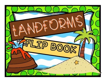
Landforms Flip Book
This flip book demonstrates a variety of landforms and also illustrates their altitudes. This purchase includes a black and white mini version for interactive science journals and an 8” X 11” black and white version as well. The landforms included are the following:
-Volcano
-Canyon
-Mountains
-Valley
-River
-Cave
-Hills
-Plain
-Ocean
-Island
This resource is also available in Spanish.
Subjects:
Grades:
K - 5th
Showing 1-24 of 942 results

