🎉 Teacher Appreciation: Save up to 25% using promo code THANKYOU24. Sale ends in 0 hrs 2 min. Learn more
3,988 results
Geography interactive notebooks
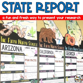
State Reports Research Project Template | Informational Report Writing | Report
These State Report Information Report Pennant Banners come with 50 amazing pennants for displaying your research project on one of the fifty nifty United States. Perfect for any time of the year, these pennants are a great way to supplement your social studies instruction as well as help your students organize their research. Save time by integrating your social studies and ELA instruction! In addition to being excellent informational organizers for your students, these state pennant banners a
Subjects:
Grades:
3rd - 5th
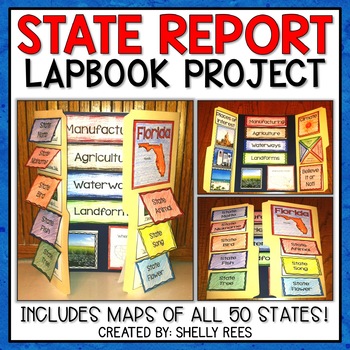
State Report | A State Research Project for ANY U.S. State! | 50 States
Your students will love researching and learning about ANY state with this lap book project! Everything you need to easily set up and implement a fun, hands on state research project in your classroom is included.
This packet includes separate map pages of ALL 50 states, so that you can either assign all students to research the same state (usually the one you reside in) or assign students to each create a lap book for a different state. The finished projects make a wonderful display!
If yo
Grades:
3rd - 6th
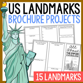
USA LANDMARKS Research Projects | United States Geography Report Activity
This bundle of (15) two-sided tri-fold research brochure templates allows students to dig deeper into facts about famous landmarks in the United States. You'll also find a BLANK template to use with ANY landmark that is not included with this resource. Makes a great addition to your American history and geography unit studies throughout the year. Keep these in your early finisher folder or your sub-folder for no-prep fun.CLICK HERE to save 30% on this resource in the American Landmarks activity
Subjects:
Grades:
3rd - 7th
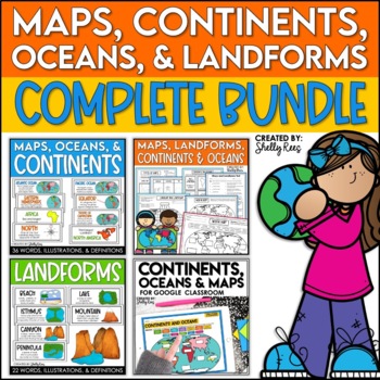
Maps, Continents and Oceans, Landforms, and Map Skills Bundle
This Social Studies bundle includes the best-selling Maps, Continents, and Landforms Interactive Notebook, along the coordinating word wall posters! Students and teachers love the ease of the hands-on printables, worksheets, and digital activities of this complete bundle!By purchasing this bundle, you are saving 20% off the full value of the individual resources.This helpful, easy to use bundle includes:Maps, Continents, Landforms, and Map Skills Interactive Notebook Continents, Oceans, and Maps
Subjects:
Grades:
3rd - 6th
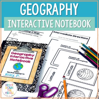
Geography and Map Skills Interactive Notebook | Print and Digital
Teaching geography and map skills doesn't have to be boring! This is a great way to teach geography and map skills. Students remain engaged through the hands-on portion of the interactive notebook. In addition to the hands-on activities, students produce a product that is useful to develop good study habits. This resource includes both the print and digital ready versions all in one. You have access to both in case you find yourself in need of one or the other throughout the school year. Templat
Grades:
3rd - 6th
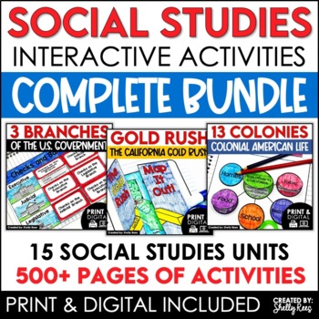
4th 5th & 6th Grade Social Studies Curriculum Activities Project Unit Bundle
Social Studies Class will be your students' favorite time of the day with this popular, engaging bundle of activities, including foldables, timelines, mini books, bulletin boards, and more! The hands-on units in this bundle will help your students learn and understand the events and concepts of American History, Government, and Geography.Click the PREVIEW button above to see everything included!By purchasing this complete bundle, you are saving 20% off the price of the individual units.ALL packe
Grades:
4th - 7th
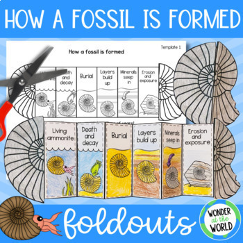
How a fossil is formed foldable sequencing activity fossilization process
Teach or review the stages of how fossils form with this folding ammonite cut-and-paste activity. This foldable sequencing activity will help students recall 6 stages of fossilization in a fun and engaging way, that's more hands-on than a standard fossils worksheet.Ammonites were pre-historic sea creatures with tentacles and a spiral shell. Their fossils can be found all over the world in many different types of sedimentary rock. The templatesThere are 4 similar PDF templates to choose from for
Subjects:
Grades:
1st - 4th
NGSS:
3-LS4-1
Also included in: Rocks and fossils display, presentation and activity bundle
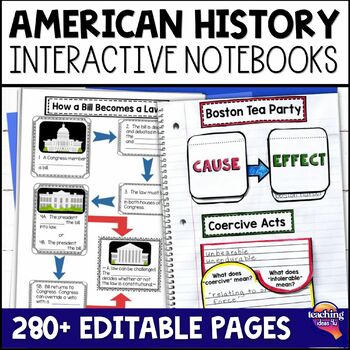
American History & U.S. Geography EDITABLE Interactive Notebook 7 Unit BUNDLE
Looking for a way to increase students' interest in United States geography, Native Americans, and American history through Westward Expansion? These interactive notebooks hook students on history - and support their reading skills! These units include interactive activities, maps, vocabulary, graphic organizers, and assessments. What’s Included in the Bundle⭐ United States Geography Interactive Notebook ⭐ Native Americans Interactive Notebook ⭐ Explorers & Exploration Interactive Notebook⭐
Subjects:
Grades:
4th - 6th
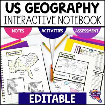
United States Geography & U.S. Regions EDITABLE Interactive Notebook & Test
Support upper elementary students’ reading skills with this U.S. Geography and its Regions Interactive Notebook. This editable unit is a complete study of United States Geography, including interactive activities, maps, vocabulary, graphic organizers, and assessment. Students will explore physical geography, such as mountains and rivers, and the regions of the United States. This interactive notebook includes activities, maps, and organizers on the following topics:United States Map Activity Vo
Grades:
4th - 6th
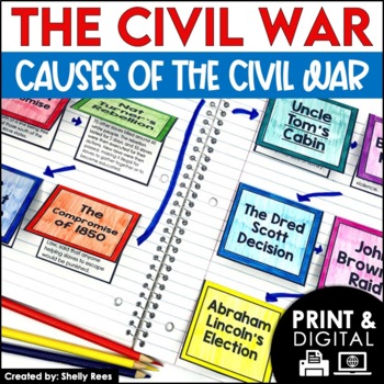
Causes of the Civil War | Civil War Map and Timeline DIGITAL and PRINTABLE
Students are fully engaged in learning about the causes of the Civil War with this interactive packet. The hands-on approach of this resource, including a timeline, foldables, map activity, bulletin board, and more, will help your students learn and understand the cause and effect relationships of events in this period of history!Click the PREVIEW above to see this resource in greater detail!Click here and SAVE 20% by buying ALL 15 Social Studies Interactive Notebooks and Mini Units in one Year
Grades:
5th - 8th
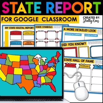
State Research Project | State Report for Google Classroom | 50 States Project
Your students will love completing a state research report with this easy-to-follow digital U.S. State Report Project! Students can research any state and use the provided slides to complete their report. A great option is to print the reports when students are finished to create an eye-catching display for your classroom!Click the PREVIEW button above for a closer look at everything included!This engaging Digital State Report Packet includes:State Research Resource Guide (a list of student-frie
Grades:
3rd - 6th
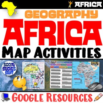
Geography of Africa Map Practice Activities | Print and Digital | Google
End the cycle of bored students copying from books to label maps! Your classes think critically with these digital, interactive, geography activities. First, students answer questions about Africa by analyzing various physical & political maps of the region. Then, a drag & drop challenge assesses their learning of the locations. This resource also includes a printable worksheet that takes labeling maps to the next level! They create a map using only absolute & relative location clues
Subjects:
Grades:
5th - 12th
CCSS:
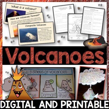
Volcanoes Complete Pack - Printables, Editable PowerPoint, Interactive Notebooks
This Volcano Unit is exploding with a variety of printables, Diagrams, Interactive notebooks, and a 100% editable PowerPoint.*Also includes digital access via Google Slides.What’s included in the pack: (Answer keys are included.) • PowerPoint Review Sheet• Volcanoes Reading Comprehension• Label the parts of a volcano • Volcano Labeled Diagram • 3 Stages of a Volcano Poster (8.5” x 11”) – Active, Dormant, and Extinct• Cinder Cone, Composite, and Shield Volcanoes Posters (1 of each)• Types of Volc
Subjects:
Grades:
3rd - 6th
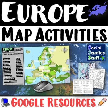
Geography of Europe Map Practice Activities | Print and Digital | Google
End the cycle of bored students copying from books to label maps! Your classes think critically with these digital, interactive, geography activities. First, students answer questions about Europe by analyzing various physical & political maps of the region. Then, a drag & drop challenge assesses their learning of the locations. This resource also includes a printable worksheet that takes labeling maps to the next level! They create a map using only absolute & relative location clues
Subjects:
Grades:
5th - 12th
CCSS:
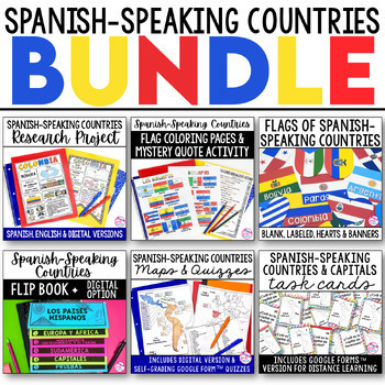
Spanish Speaking Countries BUNDLE Project Maps Flip Book Quizzes + DIGITAL
This money-saving bundle has everything you need to teach the Spanish-speaking countries, their locations, and capitals! Includes maps, quizzes, project, activities, and more! Save over 30% on this bundle of the following items:Spanish-Speaking Countries Flip BookNo cut, no waste, 6 page / 3 pieces of paper printable flip bookDigital flip book in Google Slides for paperless or distance learningWestern Europe map to label SpainWest Africa map to label Equatorial GuineaCentral America / North Am
Subjects:
Grades:
6th - 12th
Florida History Interactive Notebook Social Studies BUNDLE 4th Grade
Florida History Interactive Notebook Social Studies BUNDLE 4th Grade This bundle of Florida History interactive notebooks will cover all the 4th grade Florida history standards. Activities including graphic organizers, maps, and other interactive pieces. The interactivities are created to support students' reading skills. The guiding questions and topics provided help students to determine which facts are main ideas. Please note that this unit does not cover the new financial literacy standards
Grades:
4th - 5th
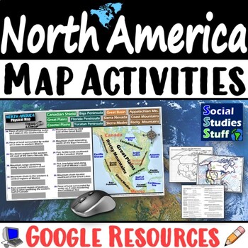
Geography of North America Map Practice Activities | USA Canada Mexico | Google
End the cycle of bored students copying from books to label maps! Your classes think critically with these digital, interactive, geography activities. First, students answer questions about North America by analyzing various physical & political maps of the region. Then, a drag & drop challenge assesses their learning of the locations. This resource also includes a printable worksheet that takes labeling maps to the next level! They create a map of the United States, Canada, and Mexico u
Subjects:
Grades:
5th - 12th
CCSS:
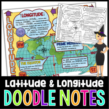
Latitude and Longitude Doodle Notes | Science Doodle Notes
This science graphic organizer will aid students in identifying and defining latitude, longitude, the Equator, Prime Meridian, meridians, parallels, and how this information is used on maps. This fun, NO PREP activity will have your students mastering content quicker, easier, and asking for more!What are doodle notes?Doodle notes are a visual aid that will increase student concept retention, focus, creativity, and engagement. Students will gain experience in synthesizing information and creating
Subjects:
Grades:
5th - 7th
Also included in: Science Doodle Notes Growing Bundle
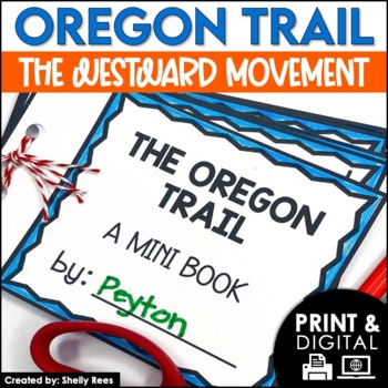
The Oregon Trail Activity and Lesson Pioneer Life Westward Expansion Worksheets
Your students will love learning about the Oregon Trail with this fun interactive packet. The hands-on activities, including a mini book, packing the wagon simulation, map, bulletin board, and more, will help your students learn and understand the history of the Oregon Trail!Click the PREVIEW to see everything included in this resource!Click here and SAVE 20% by buying ALL 15 Social Studies Interactive Notebooks and Mini Units in one Year-Long Bundle.This resource includes both a printable vers
Grades:
3rd - 6th
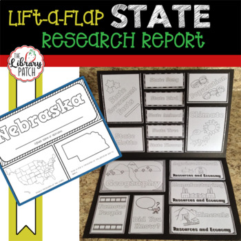
State Report ~ State Research Project
Looking for a simple, straight-forward state research report that your kids will be excited to work on? Here it is! This lift-a-flap style state report will have students excited to research and explore interesting facts about the states. Once their state research is done, students will assemble an engaging report! One that they will be super excited to show off. Students will research the following topics for their state:popular namecapitalstate symbolsstate mottogovernmentpopulationclimategeog
Subjects:
Grades:
3rd - 5th
Also included in: Library Patch's Top 20 Product Bundle
Geography Map Skills Unit Lapbook Print & Digital Distance Learning Bundle
Your students will learn about geography and basic map skills in this complete unit--with both print and digital options--including an informational text you can use either in place of or in addition to your textbook. You can use the printable versions, go completely paperless, or use a combination of both!This Geography Map Skills Unit includes an 8-page informational text. This complex text will provide your students with information about the purpose of geography, continents and oceans, the d
Subjects:
Grades:
3rd - 5th
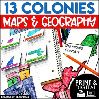
13 Colonies Map and Activities | Colonial America Unit | DIGITAL & PRINTABLE
Your students will love learning about the 13 Colonies maps and geography with this interactive packet. These hands-on activities, like maps, foldables, bulletin board, and more, will help your students learn and understand the geography and regions of Colonial America!Click the PREVIEW above to see everything included in this resource!Click here and SAVE 20% by buying ALL 15 Social Studies Interactive Notebooks and Mini Units in one Year-Long Bundle.This resource includes both a printable vers
Grades:
3rd - 6th
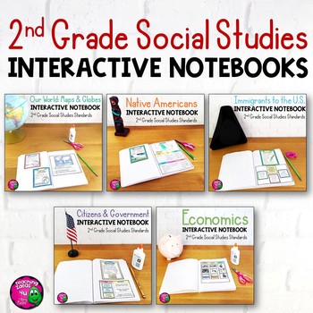
2nd Grade Social Studies Interactive Notebook BUNDLE 5 Units
Complete Set of Interactive Notebooks for 2nd Grade Social StudiesThis set of social studies interactive notebooks meets the standards for 2nd grade in Florida. The units included are:Our World: Maps and GlobesNative AmericansImmigrationCitizens & GovernmentEconomicsEach unit includes activities, vocabulary, and assessments. These activities can either be used with a textbook or used as a teacher-led unit. Some activities also include links to related outside sources that teachers could use.
Grades:
2nd
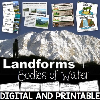
Landforms & Bodies of Water Bundle| Printables, PowerPoint, Interactive Notebook
This landforms pack will engage your students in learning about 19 different landforms / bodies of water. There are Posters, Word Wall Cards, “What am I” cards, Printables, Interactive notebook, and a 100% Editable PowerPoint. *Also includes digital access via Google Slides.Landforms included in this unit: Mountain, Hill, Valley, Plain, Island, Sand Dune, Peninsula, Canyon, Delta, Plateau, Mesa, Ocean, Sea, Lake, River, Gulf, Canal, Glacier, and WaterfallAnswer Keys are included.• PowerPoint Rev
Subjects:
Grades:
2nd - 5th
Showing 1-24 of 3,988 results

