51,008 results
Geography worksheets
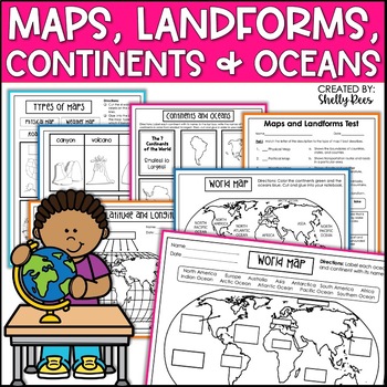
Maps & Globes Continents Oceans Map Skills Worksheet World Map Activity Landform
Interactive Notebooks are a wonderful tool for providing hands-on experiences for learners. This Maps, Continents, and Landforms Interactive Notebook is no exception! The packet is easy to use for both student and teacher. ✅ Click HERE to SAVE 20% on this resource with the Maps, Continents, and Landforms unit and poster bundle!✅ Click HERE to SAVE even more by buying ALL 15 Social Studies Interactive Notebooks and Mini Units in one Year-Long Bundle.Click on the PREVIEW button above to see all t
Grades:
3rd - 5th
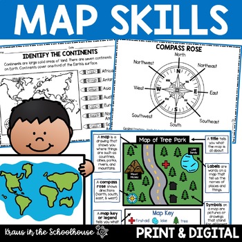
Map Skills Activities and Worksheets Maps Globes Landforms Continents & Oceans
Make learning fun for your students when teaching map skills. Map skills topics include maps, globes, continents, oceans, landforms, water forms, suburban, urban, rural, directions, and more. This resource is perfect for second, third, and fourth grade students. Digital activity included using Easel by TpT.These activities can be used during whole group instruction, independent work, and center time. Easy-to-use activity sheets with clear directions and answer keys are provided.HERE'S WHAT YOU'L
Grades:
2nd - 4th
Types:
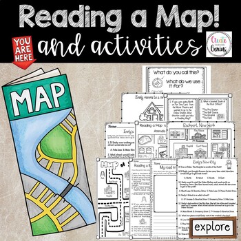
Map Skills- Reading a Map and Activities
✅⭐️Are you studying maps in your primary classroom? If so, then you will love this all inclusive NO PREP set! Not only does it go over cardinal directions and how to read a map, it also reviews parts of a map such as the map key, title, and compass rose. It is a perfect lesson to include in your social studies geography unit!⭐Please know that this resource is a PDF. It is great for distance learning if you are sending home packets or are able to transfer it to Google Slides™ to use in Google Cla
Subjects:
Grades:
K - 5th
Types:
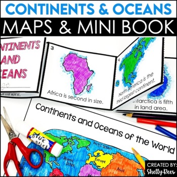
Label Continents and Oceans Activities | Blank World Map Printable 7 Continents
Students LOVE learning about the Continents and Oceans of the World with these fun hands-on activities, including a 7 continents mini-book, blank world map, coloring pages, and even a label continents and oceans quiz. This NO PREP packet is easy for teachers and engaging and hands-on for students!Please click on the preview button above to take a look at everything included.This resource includes:7 Continents Mini-BookColoring Pages/Posters of Each ContinentBlank World MapLabeled World MapPost-U
Subjects:
Grades:
2nd - 5th
Types:
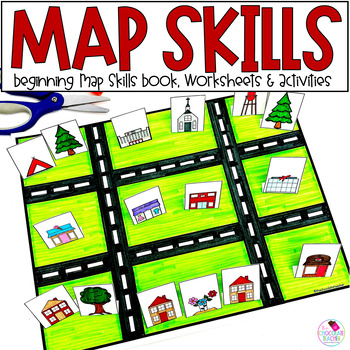
Map Skills Worksheets, Books, Lap Book - Cardinal Directions, Compass Rose
Are you looking for an engaging first grade map skills resource to add to your social studies curriculum? This engaging resource is what you need to teach mapping skills like cardinal directions, compass rose, and map skills. Students will love the map skills books and the hands-on build a town map. Finally, students can demonstrate their learning with the final map skills lapbook. Use this resource for:first gradesecond gradewhole class instructionsmall group instructionpartner workStudents wi
Subjects:
Grades:
K - 2nd
Types:
Also included in: First Grade Social Studies BUNDLE
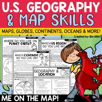
US Geography Map Skills | Maps and Globes, Continents, Oceans, Me on the Map
Do your students struggle with general map skills, their location on a map or globe, or naming our continents and oceans? This popular U.S. geography and map skills packet will help your students master these mapping skills and more with ease. Fun for students and super helpful for teachers!This United States geography and map skills resource provides an easy and fun way for students to develop a better understanding of where they live in the world, as well as key geography skills and concepts.
Subjects:
Grades:
3rd - 5th
Types:
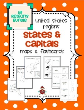
All US Regions States & Capitals Maps
Save $3 if you buy all the regions at once in this packet! Note that this product includes both MAPS and FLASHCARDS for the states & capitals of the five regions of the US.
This product contains 3 maps of each of the five regions of the United States (15 maps in all). Check out the FREE Northeast region set of maps.
• Study guide map labeled with the states and capitals (which can also be used as an answer key)
• Blank map with a word bank of the states and capitals
• Blank map without wor
Subjects:
Grades:
3rd - 5th
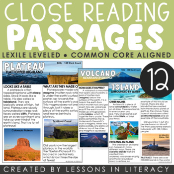
Landforms Close Reading
***For a Goggle Classroom version of this product, click here!Close Reading: Landforms- This 66 page product contains 12 landform-themed nonfiction close reading passages with evidence-based questioning sheets to go with each. Each landform has a cover page with a definition, close reading article in color + black/white, and comprehension sheet. Great to use as a whole group lesson or in small group reading. The articles are about the following topics:-plateau-plains-mountain-coast-canyon-valley
Subjects:
Grades:
1st - 4th
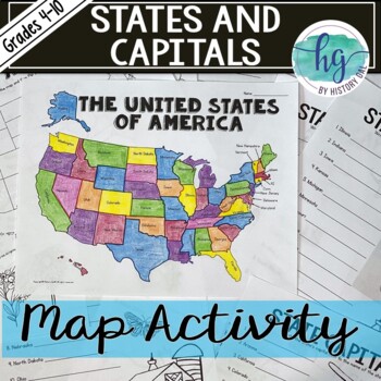
50 States and Capitals Map Activity (Print and Digital)
Do your students need to know the state capitals and the location of each state on a map? This engaging map set for the 50 states and their capitals will guide your students through labeling a blank map and learning the capitals. Print and digital options plus access to online self-checking map and flashcards let you easily customize the lesson to best fit the needs of your students. Students will label a blank map of the United States with the names of the 50 states and then record the capital
Subjects:
Grades:
4th - 10th
Types:
Also included in: American History Map Activities Bundle for U.S. History Units & Lessons
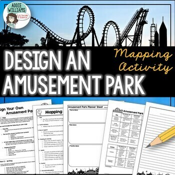
Map Skills - Design Your Own Amusement Park
Review the basics of mapping with this fun and engaging activity! Using map skills learned in class, students must design a map of their own amusement park and include mapping elements such as scale, a legend, symbols, and more! They must also write about and explain their "best" or most amazing ride. This activity has always been one of my students' favorite projects! It's a fun and unique way to wrap up a mapping unit or a fun project for social studies!I encourage the students to pick a them
Subjects:
Grades:
6th - 9th
Types:
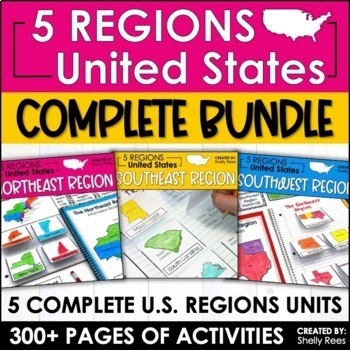
Regions of the United States Worksheets Maps & Activities 5 US Regions
Your students will love learning about the 5 Regions of the United States with this complete bundle. The hands-on approach to learning includes high-interest interactive notebook foldables, map booklet, memory match game, bulletin board, and unit test! Students will master the US Regions in no time at all with this helpful resource!By buying this bundle, you are saving 20% off the total price of the 5 individual packets!Please take a look at the PREVIEW to get a better idea of everything include
Grades:
3rd - 6th
Types:
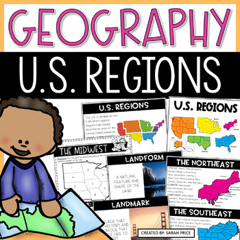
US Geography Worksheets | 5 Regions of the United States Lessons and Activities
Your students will love learning about the 5 regions of the United States with this jammed pack US Geography resource! This resource is filled with everything you need to teach your upper elementary students about the regions of the United States in a fun and meaningful way. Your students will learn that each of the US regions have similar characteristics like climate, landforms, culture, history, and landmarks. This unit includes easy to follow lesson plans, hands-on foldable to use on their o
Subjects:
Grades:
2nd - 4th
Types:
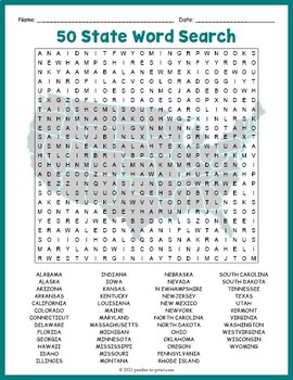
USA GEOGRAPHY Worksheet Activity - All 50 (Fifty) US States Word Search Puzzle
Review United States geography and have your students search for all 50 members of the Union with this challenging worksheet activity. Word search puzzles make great no prep activities for early finishers, bell ringers, morning work, handouts, homework, lesson plan supplements, sponge activities, introductions to new topics, and sub files.We consider this to be a challenging puzzle and it will require quite a bit of time to complete. Students will memorize the names of all fifty states withou
Subjects:
Grades:
4th - 7th
Types:
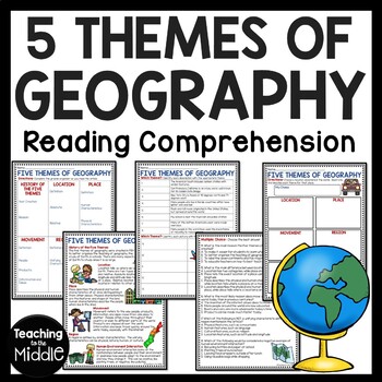
Five Themes of Geography Reading Comprehension Worksheet and Activities
Several Social Studies' Pacing Guides call for review or teaching of the Five Themes of Geography. I found that even though my students had seen this information in the past, they were still confused about some of the differences. This product gives students an informational passage (800-900 Lexile Level) on the history of the themes and a brief description of each. A graphic organizer is provided for students to complete while reading the passage. This can be done as whole group instruction,
Subjects:
Grades:
4th - 7th
Types:
Also included in: Social Studies MEGA Reading Comprehension Bundle For Buyer
MAPS - How to Use a Map - Mapping Unit for Kindergarten and First Grade
Teach your students all about maps with this adorable, hands-on unit. We learn about using directional words with a compass rose, how to use map grids (find square A2, C3, etc.) how to make your own map, where we live on the map, how to find specific places on town maps and more! THESE MAP ACTIVITIES ARE INCLUDED IN MY ALL ABOUT EARTH UNITPlease do not purchase this listing if you already own Unit 8 All About Earth.--------------------------------------------------------------------------------
Grades:
K - 2nd
Types:
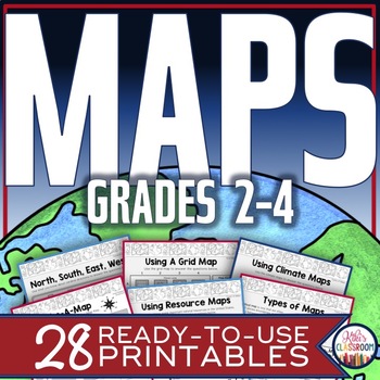
Map Skills Worksheets - Types of Maps, Cardinal Directions, Scale, Reading Maps
This pack of activities for Grades 2 - 4 includes 28 pages of thoughtfully designed printables to engage your students while they practice these basic concepts. You’ll find these ready-to-use pages to be easy to implement and thorough in scope. This resource includes opportunities for your students to acquire information from a variety of maps, to use map elements including the compass rose and scale, and to create their own maps within a defined (and easy to use) set of directions. There’s j
Grades:
2nd - 4th
Types:
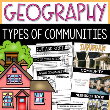
2nd & 3rd Grade Geography - Types of Communities Social Studies Activities
Teaching 2nd and 3rd grade students about the different types of communities is fun and exciting with these activities and worksheets! This social studies resource contains easy-to-follow lessons to help you teach your class about the different characteristics of communities in the U.S. Cover a variety of geography topics as your students will learn about the population, transportation, and homes in urban, suburban, and rural communities. This product includes lesson plans, foldables, activities
Subjects:
Grades:
2nd - 3rd
Types:
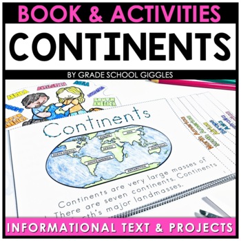
7 Continents And 5 Oceans Activity Printables & Project - Cut, Paste, Label, Map
Are you looking for an engaging way to teach your students about the 7 continents and 5 oceans? These printables and fun continent activities will keep your kids engaged while they label, color, cut, and paste as they learn about the world. This mini-book is full of informational text about each continent organized into bite-sized chunks. You'll also find interactive pages to help your students comprehend and retain the information they read.In addition to the interactive mini-book, you'll also
Subjects:
Grades:
2nd - 3rd
Types:
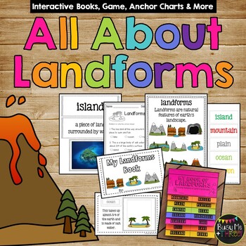
Landforms and Bodies of Water Interactive Books Posters Game and Worksheets
This ALL you will need to teach your students about landforms! This set has posters, a game, interactive booklets & flip books, a test & more!! Real photos and clip art versions are available for all. I love to get the students engaged instead of just having them copy down words, and this set is perfect for that! My All About Landforms Books are great for end of the year 1st graders, 2nd graders, and even 3rd grade. Check out the preview for a better look of all that is included!⭐Save $$
Subjects:
Grades:
1st - 3rd
Types:
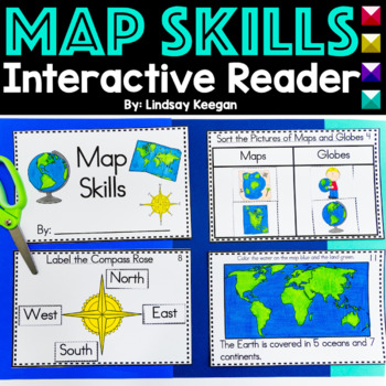
Map Skills Interactive Reader for Maps, Globes, Directions and more
These map skills worksheets are so much fun for young learners. Use this interactive mini-reader to help reinforce your student's understanding of maps, globes, cardinal directions, land, water and more!This map skills book can be used across several lessons and is perfect for whole group, small group or center activities.Each page has information about map skills and tasks for students to complete to help them show their understanding of the topic.Map Skills included in this interactive reader
Grades:
K - 2nd
Types:
Also included in: Interactive Books Bundle Readers for Math, Science and Social Studies
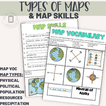
Types of Maps and Map Skills Pack | Social Studies grades 2-5 | Back to School
This packet of worksheets is a great introduction to map skills as reading a variety of maps! Students will learn to read a Population map, precipitation map, political map, natural resource map, and a physical map. Perfect for a back to school review!Worksheets included:Map Vocabulary Matching WorksheetMap Skills Fill in the BlankPhysical MapPopulation MapPolitical MapNatural Resource MapPrecipitation MapAnswer KeyIf you are looking for an interactive digital version of this product using googl
Subjects:
Grades:
3rd - 5th
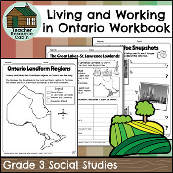
Living and Working in Ontario Regions Workbook (Grade 3 Social Studies)
This workbook covers the Grade 3 Living and Working in Ontario unit in the NEW 2023 Ontario Social Studies curriculum (People and Environments).In this workbook, students will learn many interesting things about Ontario. They will explore the provinces and territories of Canada through maps and descriptions. The workbook will teach them about land use in Ontario, including its purpose and how it is compared to other areas. They will learn about municipal governments and Indigenous reserves, incl
Grades:
3rd
Also included in: Grade 3 Ontario Social Studies Workbook Bundle
Planet Earth - Earth Day Activities - Using Maps and Globes - Science - Reading
This comprehensive, standards-based unit teaches your kindergarten and first grade students all about planet Earth. Children love learning about our place in the solar system, an overview of our planet, how to use a map and a globe, where we live in the world (address, city/town, country and continent), how to take care of the Earth, how to reduce, reuse, recycle and compost.... plus so much more!Students are incredibly engaged:watching and learning through a slideshowmaking an Earth Day craft
Subjects:
Grades:
K - 2nd
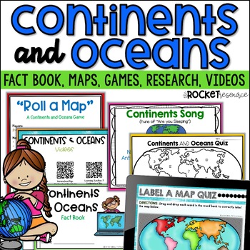
Continents and Oceans Activity | 7 Continents Printables | Ocean and Continents
Are you looking for a fun and engaging continents and oceans activity to teach map skills lessons in 2nd and 3rd grade? With engaging games, songs, maps and more, these 7 continents printables will lead to student mastery in no time! Students can label the 7 continents on a map, learn about the continents and oceans through reading passages, play continents and oceans games, sing songs, complete continent and oceans project ideas, and complete research. INCLUDES BOTH A PRINT AND DIGITAL VERSIO
Subjects:
Grades:
2nd - 4th
Types:
Showing 1-24 of 51,008 results

