5,624 results
Geography homeschool curricula
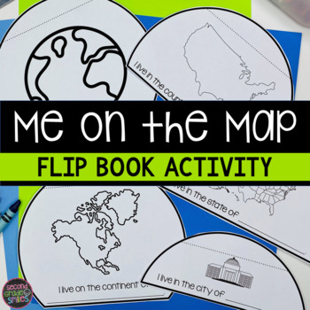
Me on the Map Flip Book - Map Skills Geography Activity
This Me on the Map flip book is the perfect easy-prep project to accompany the book Me on the Map by Joan Sweeney or any beginner map study. Students will identify the planet, continent, country, state, and city or town they live in and begin to understand the relative sizes of each.Prep is simple! Copy a set of the included booklet pages for each student. Students write in the missing words, cut out each semi-circles, and stack them from smallest to largest. Staple the top to complete the fl
Subjects:
Grades:
1st - 3rd
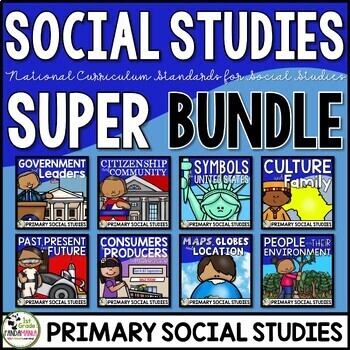
Social Studies Curriculum & Units Bundle for 1st and 2nd Grades
Social Studies Units US SymbolsGood Citizenship and CommunityGovernment and LeadersPast, Present, and FutureCulture and Family Maps, Globes, and Location People and Environmental Interaction Economy Producers and Consumers A 1st Grade and 2nd Grade comprehensive bundle of eight engaging social science curriculum units aligned with the national civics, economics, history, culture, and geography standards. It includes the topics of government, leaders, US
Subjects:
Grades:
1st - 2nd
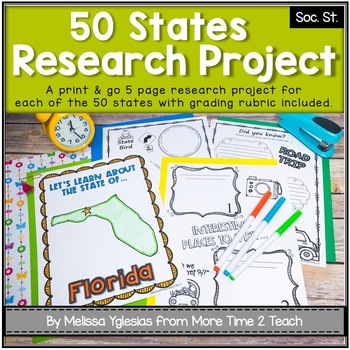
50 States Project- Research Project | Report {with grading rubric}
Have your students been learning about the 5 REGIONS OF THE UNITED STATES or are you simply looking for a FUN RESEARCH project on the 50 STATES? If so, then this might be just the activity you're looking for!With this PRINT & GO RESEARCH PROJECT, each student or group will create a 5-page booklet on one of the 50 States. This project lends itself to independent work, partner work, or even group work. Simply begin by assigning a state, print the parent information letter, and print the pages
Subjects:
Grades:
2nd - 5th
CCSS:
Also included in: Regions of the United States Bundle & State Research Project with Rubric
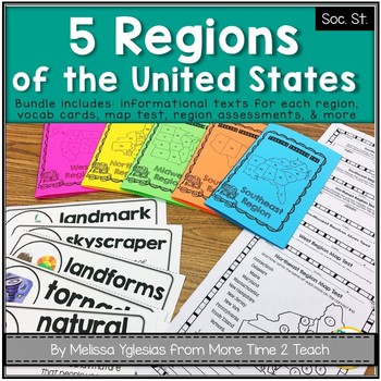
Regions of the United States Bundle: Info. Text Booklet, Vocab. Cards & Assess
Help your students learn all about the 5 REGIONS OF THE UNITED STATES WEST REGION (Colorado, Idaho, Montana, Nevada, Utah, Wyoming, California, Oregon, Washington, Alaska, and Hawaii)MIDWEST REGION (Iowa, Kansas, Missouri, Nebraska, North Dakota, South Dakota, Illinois, Indiana, Michigan, Minnesota, Ohio, and Wisconsin) SOUTHWEST REGION (Arizona, New Mexico, Oklahoma, and Texas)NORTHEAST REGION (Connecticut, Maine, Massachusetts, New Hampshire, Rhode Island, Vermont, Delaware, Maryland, New Jers
Grades:
2nd - 4th
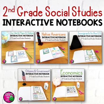
2nd Grade Social Studies Interactive Notebook BUNDLE 5 Units
Complete Set of Interactive Notebooks for 2nd Grade Social StudiesThis set of social studies interactive notebooks meets the standards for 2nd grade in Florida. The units included are:Our World: Maps and GlobesNative AmericansImmigrationCitizens & GovernmentEconomicsEach unit includes activities, vocabulary, and assessments. These activities can either be used with a textbook or used as a teacher-led unit. Some activities also include links to related outside sources that teachers could use.
Grades:
2nd
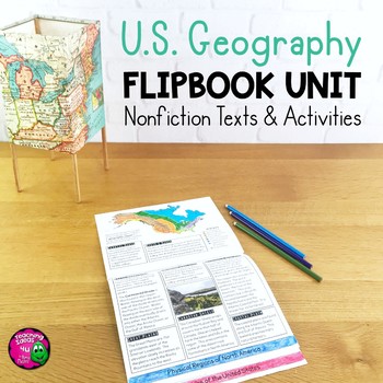
United States Geography Unit: Informational Texts, Maps, & Activities US Regions
U.S. Geography Integrated Unit for Upper ElementaryThis integrated unit of study focuses on United States geography and related skills. It includes 8 lessons and activities, including informational texts and a summative test. These reading passages can be used for close reading and reading comprehension, as well as social studies content.Everything needed to teach the material is included - just add pencils and crayons! Lessons included are:1. Latitude & Longitude2. Relative & Absolute
Subjects:
Grades:
4th - 6th
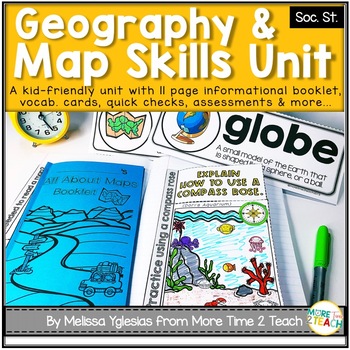
Geography Map Skills Unit: Info Text, Int. Notebook, Assess, Quick Checks + More
Help your students develop proficiency in GEOGRAPHY AND MAP SKILLS.With this unit, they will learn to read a compass rose, key/ legends with symbols, and scales on a map. They will also be able to label the 7 continents and 5 oceans on a map, learn the difference between maps and globes and understand the effect of distortion. By the end of this unit, they will also be able to name and identify the purpose of different maps (physical, political, elevation, and population) just to name a few of t
Grades:
3rd - 5th
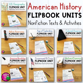
American History Informational Texts, Maps, Activities, & Assessments BUNDLE
American History Bundle: 7 Integrated Units for Upper ElementaryThis United States History bundle includes 7 units with reading passages & activities, including: U.S. GeographyNative AmericansExplorationColonial AmericaAmerican RevolutionU.S. Government & CivicsWestward Expansion (through 1850)All units include 8 lessons and activities, including informational texts. A summative test is included in each unit. Most units include a reading skill lesson and a timeline. Everything needed t
Subjects:
Grades:
4th - 6th
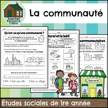
La communauté cahier (Grade 1 FRENCH Social Studies)
This FRENCH workbook covers the Grade 1 The Local Community unit in the NEW 2023 Ontario Social Studies curriculum (People and Environments).Ce cahier d'exercices couvre l'unité La communauté de la 1re année du programme d'études sociales de l'Ontario 2023 (Communauté et environnement).The workbook covers various topics related to the local community, including traditional territory, natural and built features, community history, community services, emergency services, waste management, green sp
Subjects:
Grades:
1st
Also included in: MEGA BUNDLE: Grade 1 Ontario FRENCH Social Studies Full Units
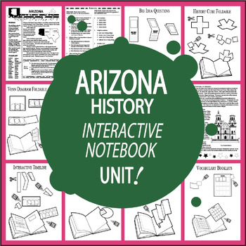
Arizona History 3rd Grade Unit + AUDIO–ALL Arizona State Study Content Included
Arizona History uses Nonfiction Informational Text (ALL Content Included – No Additional Arizona History Textbook Needed), the entire lesson recorded on Audio, ELEVEN Interactive Notebook assignments, and a variety of engaging hands-on activities aligned with Arizona's Third Grade Social Studies Standards to teach about Arizona's Points of Interest, Arizona's First People, Famous Explorers & Missionaries in Arizona, the Mexican War, the Civil War, the Organic Act, and Arizona's Statehood:Ari
Subjects:
Grades:
3rd
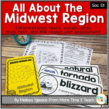
Midwest Region Unit {1 of 5 US Regions}
Help your students learn all about the MIDWEST REGION (Iowa, Kansas, Missouri, Nebraska, North Dakota, South Dakota, Illinois, Indiana, Michigan, Minnesota, Ohio, and Wisconsin) After many hours of searching for kid-friendly material on the MIDWEST REGION OF THE UNITED STATES to use with my 3rd graders, I decided to create a unit of my own. My goal was to create an INTERACTIVE, ENGAGING, and KID-FRIENDLY unit! That's how this resource was born.THIS PRODUCT INCLUDES:* 6-page informational booklet
Grades:
2nd - 4th
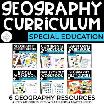
Geography Curriculum Bundle for Special Education
Simple Geography CURRICULUM Bundle for Special Education Includes 4 units with over 420 worksheets, 14 file folders, and 4 adapted books!Use geography workbooks, file folders, and adapted books in your classroom to reinforce basic Geography skills. 6 RESOURCES INCLUDED:1. Continents: Geography Workbook for Special Ed2. Landforms: Geography Workbook for Special Ed3. Biomes: Geography Workbook for Special Ed4. Maps: Geography Workbook for Special Ed5. Geography File Folders for Special Education6.
Subjects:
Grades:
5th - 12th
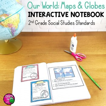
Our World: Maps & Globes Interactive Notebook for 2nd Grade Geography
Our World: Maps & Globes Interactive Notebook for 2nd Grade GeographyThis is a complete interactive notebook unit with assessments for 2nd Grade Geography. This 85 page unit includes activities, vocabulary, and map practice. These activities can either be used with a textbook or used as a teacher-led unit. There are maps of each U.S. state, North America, and the world, as well as a thematic map activity. There is a Venn diagram that can be used for comparing maps and globes. These stand
Grades:
2nd
Also included in: 2nd Grade Social Studies Interactive Notebook BUNDLE 5 Units
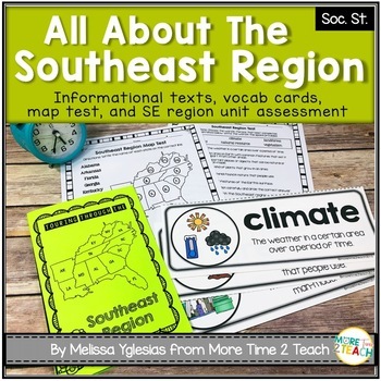
Southeast Region Unit {1 of 5 US Regions}
Help your students learn all about the SOUTHEAST REGION (Virginia, North Carolina, South Carolina, Georgia, Florida, Alabama, Arkansas, Kentucky, Louisiana, Mississippi, Tennessee, and West Virginia)After many hours of searching for kid-friendly material on the SOUTHEAST REGION OF THE UNITED STATES to use with my 3rd graders, I decided to create a unit of my own. My goal was to create an INTERACTIVE, ENGAGING, and KID-FRIENDLY unit! That's how this resource was born.THIS PRODUCT INCLUDES:* 6-pag
Grades:
2nd - 4th
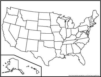
Blank United States Maps (Four map versions with Quiz)
Hi there! This file contains four maps of the United States of America: a blank mapa blank map with stars for the capitalsa blank map with states numbered in order of statehooda larger map (two-page spread) with stars for the capitalsAlso included is a fill-in sheet (quiz) for students to name the numbered states and an answer key. Thank you for shopping with "Learning With Kiwi" and happy learning!
Subjects:
Grades:
K - 8th
Continents Bundle - Maps and Flags for every country of the world
The Continents Bundle includes 196 Countries (some countries are in two continents): 12 Countries in South America; 50 Countries in Europe; 23 Countries in Northern America; 14 Countries in Oceania; 48 Countries in Asia and 55 Countries in Africa; 5 Oceans in the World and Antarctica and the 50 countries that have signed the Antarctic Treaty
*** Save $$$ with this bundle ***
Free preview is France, please download it and see if you like it, all the country pages look similar to this.
This Bun
Subjects:
Grades:
1st - 4th
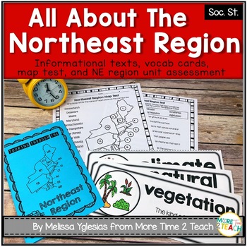
Northeast Region Unit {1 of 5 US Regions}
Help your students learn all about the NORTHEAST REGION (Connecticut, Maine, Massachusetts, New Hampshire, Rhode Island, Vermont, Delaware, Maryland, New Jersey, New York, and Pennsylvania)After many hours of searching for kid-friendly material on the NORTHEAST REGION OF THE UNITED STATES to use with my 3rd graders, I decided to create a unit of my own. My goal was to create an INTERACTIVE, ENGAGING, and KID-FRIENDLY unit! That's how this resource was born.THIS PRODUCT INCLUDES:* 6-page informat
Grades:
2nd - 4th
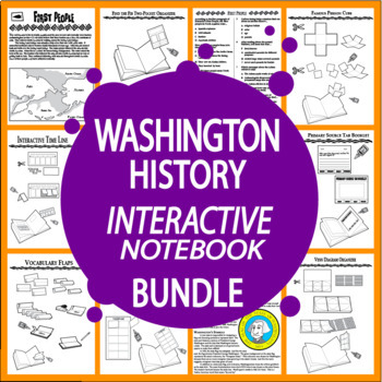
Washington State History–ALL Content Included–4th Grade Washington State Study
Complete Washington State History Bundle with EIGHT lessons of Nonfiction Informational Text (ALL CONTENT INCLUDED – NO ADDITIONAL WASHINGTON HISTORY TEXTBOOK NEEDED), a balanced mix of engaging hands-on higher and lower-level activities, SIXTEEN Interactive Notebook Assignments, Vocabulary Quizzes, and an End-of-Unit Test all aligned with Washington's Social Studies Standards for Fourth Grade. Teach students about Native Americans in Washington, Washington's Early Explorers, the Lewis and Clar
Subjects:
Grades:
4th
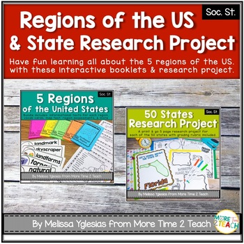
Regions of the United States Bundle & State Research Project with Rubric
Help your students learn all about the 5 REGIONS OF THE UNITED STATES and the 50 STATES in more detail with this FUN and ENGAGING BUNDLE!WEST REGION (Colorado, Idaho, Montana, Nevada, Utah, Wyoming, California, Oregon, Washington, Alaska, and Hawaii)MIDWEST REGION (Iowa, Kansas, Missouri, Nebraska, North Dakota, South Dakota, Illinois, Indiana, Michigan, Minnesota, Ohio, and Wisconsin) SOUTHWEST REGION (Arizona, New Mexico, Oklahoma, and Texas)NORTHEAST REGION (Connecticut, Maine, Massachusetts,
Grades:
2nd - 5th
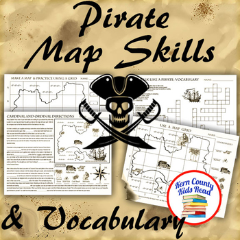
Pirate Map Skills: Grid Coordinates, Cardinal & Ordinal Directions, Symbols
Teach and strengthen coordinate grid math, geography mapping skills like map symbols and cardinal and ordinal directions with a compass rose, and new vocabulary with these pirate themed printable worksheets. These are fun mini-lesson activities for Talk Like A Pirate Day on September 19th or if you have a pirates themed unit. Cardinal directions and coordinate grid mapping are important introductory skills to mastering latitude and longitude map skills and being able to use an atlas. Coordinate
Subjects:
Grades:
3rd - 6th
Also included in: Pirates Thematic Unit Study Bundle: Talk Like A Pirate Pack!
4th Grade Utah History Social Studies Year Long Bundle
Are you looking for new, engaging, interesting, cross-curricular 4th Grade Utah History social studies curriculum? You have come to the right spot! This year long bundle of social studies resources is a teacher favorite. This resource will save you hours of time, as it integrates literacy, socials studies, and Seed standards lessons! There are also games, writing projects, and extension activities!Fourth graders will understand, comprehend, and come to love their great state.Teachers love the ti
Subjects:
Grades:
4th - 7th
NGSS:
4-LS1-1
, 4-ESS1-1
, 4-LS1-2
, 4-ESS2-2
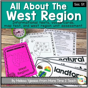
West Region Unit {1 of 5 US Regions}
Help your students learn all about the WEST REGION (Colorado, Idaho, Montana, Nevada, Utah, Wyoming, California, Oregon, Washington, Alaska, and Hawaii)After many hours of searching for kid-friendly material on the WEST REGION OF THE UNITED STATES to use with my 3rd graders, I decided to create a unit of my own. My goal was to create an INTERACTIVE, ENGAGING, and KID-FRIENDLY unit! That's how this resource was born.THIS PRODUCT INCLUDES:* 6-page informational booklet on the West Region (interact
Grades:
2nd - 4th
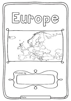
Europe 50 Countries Study - worksheets with maps and flags for each country
Kids love flags! As they colour in the flags they can learn about the countries the flags belong to and make their very own geography book about the 50 countries in the continent of Europe. One country per page with its flag and map to colour in and information to research: Capital City, Language Spoken, Population, Land Area, Religion and Interesting Facts. An additional page is provided for those who wish to add to their interesting facts.
Free Preview is the worksheet for France - each c
Subjects:
Grades:
1st - 4th
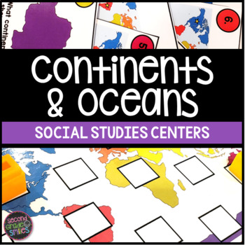
Continents & Oceans Activities - Continents & Oceans Centers - Geography Centers
This continents and oceans resource includes four hands-on center activities perfect for students to practice identifying the seven continents and five major oceans. Here’s what you’ll find inside:Continents & Oceans Playdough Mats – Students will follow the directions on each mat to say and trace each continent’s name, form the shape of the continent with playdough, say and write the continent’s name, and circle the continent on the world map. Great for multi-sensory practice and easy to pr
Subjects:
Grades:
1st - 3rd
Showing 1-24 of 5,624 results

