259 results
4th grade geography classroom decor microsofts
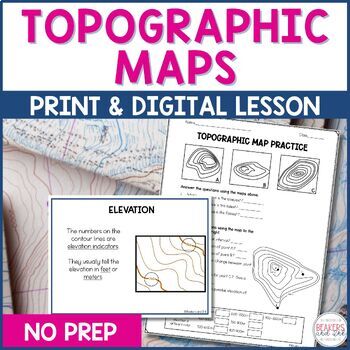
Topographic Maps Complete Lesson | Topographic Map Activity
Your students will be reading topographic maps in a snap with this complete topographic map lesson. Included in this digital and print topographic map lesson are no-prep resources to teach your students to read contour lines, determine contour intervals, and identify elevation. The digital version can easily be shared in Google Classroom.Take a look at the in-depth preview for a closer look at this topographic map resource! Included in this topographic map resource:Topographic Map Presentation
Subjects:
Grades:
4th - 8th
NGSS:
4-ESS2-2
Also included in: Topographic Map Activity and Topographic Map Worksheets Bundle

Regions of Texas Poster
This basic poster of the Regions of Texas is editable and can be scaled to fit whatever size you need. Directions for scaling the poster are included. This is a great resource for 4th and 7th grade Texas History classes or any Texas elementary classroom.
Grades:
K - 7th
Types:
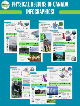
Physiographic Regions of Canada Infographics (Geography Ontario)
Ready-made physiographic regions infographic appropriate for any Canadian geography course! Canada is divided into seven physiographic regions: - Western Cordillera- Appalachian- Hudson Bay Lowlands- Great Lakes and the St-Lawrence Lowlands - Arctic- Interior Plains- Canadian ShieldInfographics include information for each region related to: - Landforms- Formation- Economic activities- Leisure activities- Cities and locations within the region
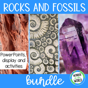
Rocks and fossils display, presentation and activity bundle
This bundle of resources is packed full of information about rocks and fossils including a rocks display, fossil activities, and PowerPoints. Ideal to support an elementary geology or earth science unit. Resource 1 - Rocks Classroom Display8 rock example photos (granite, chalk, sandstone, flint, marble, pumice, limestone, slate).3 rock type description cards (sedimentary rock, metamorphic rock, igneous rock).Cut-out letters with rock design - R, O, C, K, SRock cycle posterRocks frame image file
Subjects:
Grades:
2nd - 4th
NGSS:
4-ESS1-1
, 3-LS4-1
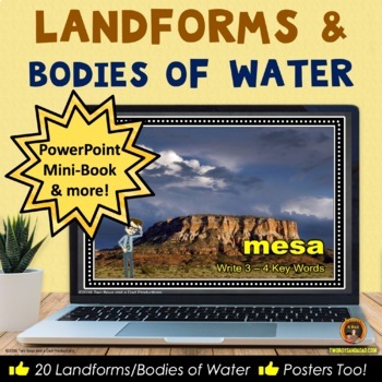
Landforms and Bodies of Water PowerPoint, Posters, Worksheets and More
Looking for a fun and engaging way to teach landforms and bodies of water? Teach geography with this resource covering the definitions of 20 physical features of the Earth. Includes an interactive printable, 20 color posters, and a 12-page Mini-Book to reinforce the learning of the landforms and bodies of water.Try out the suggested salt and flour landforms and bodies of water projects (instructions included)! The unit covers 14 landforms and 6 bodies of water. Add these resources to your ex
Subjects:
Grades:
3rd - 5th
Louisiana Grade 4 Social Studies Unit 1 (Complete Task, Topics 1-2) BUNDLE!
This bundle contains the COMPLETE Task for Topics 1-2 in Unit 1. Click the links below for more details about each product!Unit 1 Topic 1 Complete Task ($15):https://www.teacherspayteachers.com/Product/Louisiana-Social-Studies-4th-Grade-Unit-1-Topic-1-COMPLETE-Task-4009259Unit 1 Topic 2 Part 1 Complete Task ($20):https://www.teacherspayteachers.com/Product/Louisiana-Social-Studies-4th-Grade-Unit-1-Topic-2-Part-1-of-2-4068983Unit 1 Topic 2 Part 2 Complete Task ($10):https://www.teacherspayteacher
Grades:
3rd - 5th
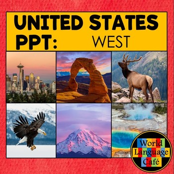
WEST REGION POWERPOINT ⭐ Western States ⭐ 50 United States Photos Google Slides
Travel the United States without ever leaving your classroom! Show your students the beautiful sites of 9 Western states and Hawaii and Alaska with 6 colorful photos for each state, plus maps and slides to help them learn the capitals. These photos spark great discussions about the sites, terrain, seasons, and animals, and make the students so curious to learn more. PowerPoint and Google Slides versions included.Here's what's included:* 6 colorful photos for each state representing the unique
Grades:
4th - 6th
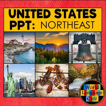
NORTHEAST REGION OF THE US POWERPOINT PHOTOS ⭐ Northeast States ⭐ Google Slides
Travel the 50 United States without ever leaving your classroom! Show your students the beautiful sites of the 10 Northeast states with 6 colorful photos for each state in the Northeast region, plus maps and slides to help them learn the capitals. These photos spark great discussions and make the students curious to learn more. Includes PowerPoint and Google Slides versions.Here's what's included:* 6 colorful photos representing the unique places in Maine, New Hampshire, Vermont, Massachusett
Grades:
4th - 6th
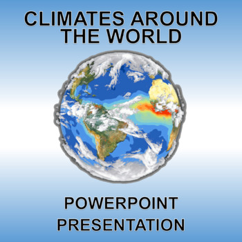
Climates Around the World - PowerPoint and Printable! Low Prep.
Buy with confidence! See the above previews and know EXACTLY what you are getting.This editable PowerPoint presentation and printable PDF are the perfect resource to introduce the concepts of climate zones and their basic characteristics. Includes 8 slides: title page and introduction to climates, arid, tropical, tundra, polar, temperate, Mediterranean and climate zones.
Subjects:
Grades:
2nd - 6th
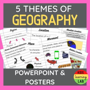
Five Themes Of Geography PowerPoint & Posters
This product contains:A 16 Slide PowerPoint outlining the 5 Themes of Geography with clear definitions, engaging images, and discussion slides. Location - Absolute & RelativePlace - Physical & Human MovementHuman Environment Interaction Region A Choice Activity at the end of the PowerPoint to display understanding of the 5 Themes. 1. Create a song 2. Make a booklet 3. Design a poster 4. Write and act out a skit A Poster Package that has the information from the Power
Subjects:
Grades:
3rd - 7th
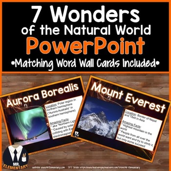
7 Wonders of the Natural World PowerPoint
7 Wonders of the Natural World Vocabulary PowerPoint and Word Wall Posters! This is a FUN, EFFECTIVE way to teach the seven wonders vocabulary to your class.
Each slide in this 7 Wonders of the Natural World Vocabulary PPT includes:
• One of the wonders listed below
• An image to help students comprehend the wonders
• Information about the ancient wonders to help students comprehend it
• Word wall cards that use less ink to print and display the wonders in your classroom
The 7 Natural Wonder
Grades:
4th - 8th
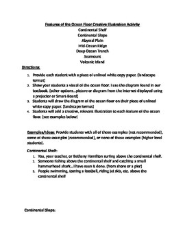
Features of the Ocean Floor Creative Illustration Activity
Wish I would have thought of this idea years ago because I always had a hard time teaching the features of the ocean floor without it being boring. Hope you enjoy! Did it this year for the first time-loved the results. 11/11/2015
Includes very creative ideas for visuals relevant to each feature of the ocean floor...For example, students may draw NEMO going to touch the "butt" (boat) at the drop off (continental slope)
I have provided several very cool examples for each feature of the ocean fl
Subjects:
Grades:
1st - 6th
Types:
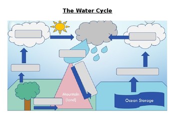
The Water Cycle Worksheet and Answers
This activity works well when projected onto a whiteboard and writing in the answers together with the class while discussing the purpose of each part of the Water Cycle. Answer sheet is included.
Activity can also be used for assessment of knowledge of the Water Cycle.
Answers sheet can be printed out and used as a poster for the classroom.
Subjects:
Grades:
4th - 12th, Adult Education
Types:
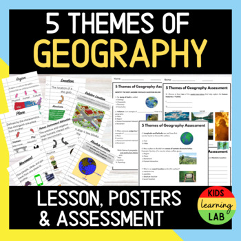
Five Themes of Geography l Lesson, Posters, & Assessment + Answer Key l EDITABLE
Are you starting a new unit on The Five Themes of Geography? If so, this bundle will help you easily TEACH THE TOPIC, SAVE YOU TIME and ASSESS STUDENT LEARNING.✅INCLUDED IN THIS DOWNLOAD✅A 16 Slide PowerPoint outlining the 5 Themes of Geography with clear definitions, engaging images, and discussion slides.A Poster Package that has the information from the PowerPoint. You can use these posters to hang up in your classroom and provide them to students for aid as they complete their Choice Activit
Grades:
3rd - 6th
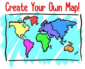
Create Your Own Map! Project & Rubric
In this project students get to become Map Makers! They use their knowledge of Maps to create their own unique map. Included in this product is a "Creating a Map: Rubric", a "Map Brainstorming & Planning Sheet", project directions for students to follow, and photos of students' work to use as a guide/example. This product was made in a Microsoft Word document and is easy to edit in order to meet your individual classroom needs. 5 Essentials of a map include (in no particular order):1. Title
Grades:
4th - 7th
Types:
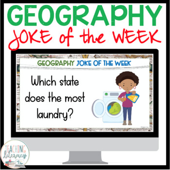
GEOGRAPHY JOKE OF THE WEEK
Looking for a fun way to hook kids into thinking about countries, landforms, and all things geography? This resource has 40 kid-friendly, side-splitting GEOGRAPHY JOKES to last you the entire school year!Since these jokes come on PowerPoint slides, you could easily project them onto the SmartBoard or Promethean Board, with no prep required! Short on technology? No problem! Just print the slides out instead!WHAT YOU GET WITH THIS RESOURCE:☺ 80 full-color Geography Joke of the Week PowerPoint slid
Subjects:
Grades:
3rd - 6th
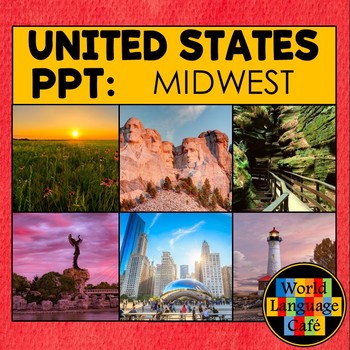
MIDWEST REGION OF THE US POWERPOINT PHOTOS ⭐ Midwestern States ⭐ Google Slides
Travel the United States without ever leaving your classroom! Show your students the beautiful sites of the 12 Midwestern states with 6 colorful photos for each state in the Midwest Region, plus maps and slides to help them learn the capitals. These photos spark great discussions about the sites, terrain, seasons, and animals, and make the students so curious to learn more. PowerPoint and Google Slides versions included.Here's what's included:* 6 colorful photos for each state representing th
Grades:
4th - 6th
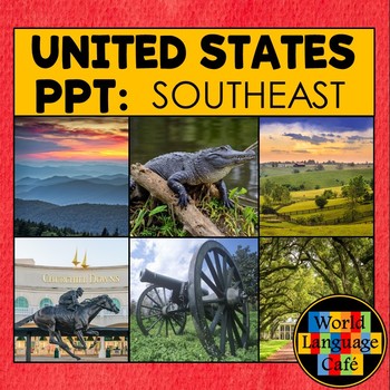
Southeast Region PowerPoint Photos Southeast States Google Slide Colorful Photos
Travel the United States without ever leaving your classroom! Show your students the beautiful sites of the 13 Southeastern states with 6 colorful photos for each state in the Southeast region, plus maps and slides to help them learn the capitals. These photos spark great discussions about the sites, terrain, seasons, and animals, and make the students curious to learn more. PowerPoint and Google Slides versions included. Here's what's included:* 6 colorful photos representing the unique pla
Grades:
4th - 6th
SECONDARY CLASSROOM DECOR, BINDER LABELS, World Map, Globe
CLASSROOM DECOR, BINDER LABELS, World Map, Globe, Secondary Classroom DecorClassroom Decor for Elementary and Secondary Classroom LabelsClassroom BannersClassroom Bulletin BoardsClassroom Organization and SO MUCH MORE! VISIT MY STORE AND FOLLOW TO GET UPDATES WHEN NEW RESOURCES ARE ADDED English, Math, Science, and Social Studies Black and White Classroom Decor, Binder Covers, and Classroom LabelsThe following labels are included with BLANK copies to personalize as well: English, Reading, Wri
Subjects:
Grades:
4th - 12th
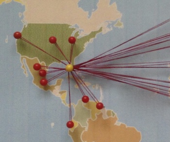
Celebrate Diversity - Where Are We From? Bulletin Board Map/Activity.
Where Are We From?
This fun activity plots locations on a bulletin board map for the whole class to see. It is great for representing cultural diversity in the classroom. Ask students about their culture and ancestors and then plot data for all to see in a unique way. This product includes a material list, directions, tips, and a sample worksheet.
The activity and the corresponding bulletin board decoration can be used in a variety of ways. It can be an opening of the year icebreaker and
Subjects:
Grades:
4th - 12th
Natural Disasters PowerPoint Presentations Bundle
Natural Disasters PowerPoint Bundle - 10 Low Prep Presentations! Buy with confidence! See the above previews and know EXACTLY what you are getting.This is a bundle of editable PowerPoint presentations that are the perfect resource to introduce the concepts of the types of natural disasters and their characteristics. The 10 presentations include: 1. Natural Disasters - A great introductory presentation 2. Earthquakes 3. Floods 4. Hurricanes \ Cyclones 5. Tornadoes 6. Tsunamis 7. Volcanoes 8. Typ
Subjects:
Grades:
2nd - 7th
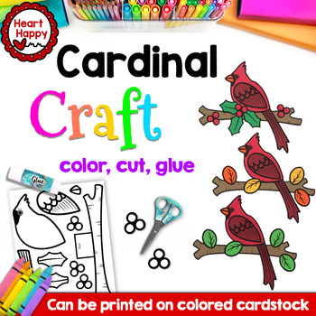
Cardinal Craft | Bird Craft | Winter Craft | State Symbol Craft
Cardinal Craft is LOW PREP - Just print, color, cut, glue! (Templates can be printed on colored cardstock if preferred.) This versatile bird craft is perfect for any season. Plus, as the state bird of Illinois, Indiana, Kentucky, North Carolina, Ohio, Virginia, and West Virginia, this craft makes a great addition to your 50 states and U.S. geography lessons.Includes:All templates to make craft (includes holly leaves and berries for a winter cardinal and a basic leaf shape for a fall/spring/summe
Subjects:
Grades:
PreK - 4th
Also included in: West Virginia State Symbols Craft BUNDLE
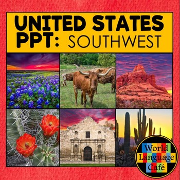
SOUTHWEST REGION POWERPOINT ⭐ Photos ⭐ Southwest 50 States Photos Google Slides
Travel the United States without ever leaving your classroom! Show your students the beautiful sites of 4 Southwestern states with 6 colorful photos for each state in the Southwest region, plus maps and slides to help them learn the capitals. These photos spark great discussions about the sites, terrain, seasons, and animals, and make the students so curious to learn more. PowerPoint and Google Slides versions included.Here's what's included:* 6 colorful photos for each state representing the
Grades:
4th - 6th
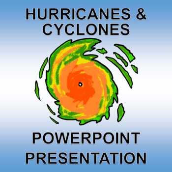
Hurricanes - PowerPoint and Printable! Low Prep. aka Cyclones and Typhoons
Buy with confidence! See the above previews and know EXACTLY what you are getting.This editable PowerPoint presentation is the perfect resource to introduce the concept of Hurricanes \ Cyclones \ Typhoons and their characteristics.Includes 8 slides: title page, What is a Hurricane \ Cyclone?, What is the difference between a Cyclone and a Hurricane?, What causes a Hurricane \ Cyclone?, what are the effects of a Hurricane \ Cyclone?, Hurricane \ Cyclone safety tips, Hurricane \ Cyclone Vocabulary
Subjects:
Grades:
2nd - 7th
Also included in: Natural Disasters PowerPoint Presentations Bundle
Showing 1-24 of 259 results


