178 results
10th grade geography classroom decor microsofts
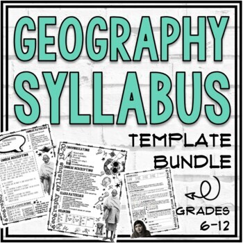
Geography, World Cultures, World Studies, and Generic Syllabus Templates
This product includes Geography, World Cultures, World Studies, and "Generic" Syllabus templates. This resource includes many text-editable template pages and completed syllabi (to use as examples). These visually appealing templates include space to customize the following: Contact information, Classroom Rules/Expectations, Class Materials, Grading, Important Information, and more!This resource is appropriate for a high school or middle school Geography, World Cultures or Social Studies course
Grades:
6th - 12th, Staff
Also included in: Geography Store Growing Bundle
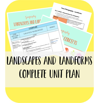
Geography Landscapes and Landforms Teaching Unit
The ultimate bundle for teaching your students about Landscapes and Landforms!! This bundle features 3 lessons that all include activities for the students to complete. What's more, this bundle includes two awesome classroom banners so you can display the work your students complete in the lessons! What's included:Landscapes and Landforms 3x lesson plans (Word Doc)Landscapes and Landforms Introduction PowerPoint (PPT and PDF)SPICESS Geographical Concepts Introduction PowerPoint (PPT and PDF)Geog
Subjects:
Grades:
7th - 12th
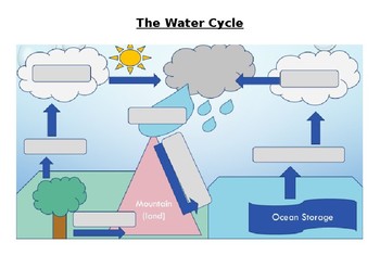
The Water Cycle Worksheet and Answers
This activity works well when projected onto a whiteboard and writing in the answers together with the class while discussing the purpose of each part of the Water Cycle. Answer sheet is included.
Activity can also be used for assessment of knowledge of the Water Cycle.
Answers sheet can be printed out and used as a poster for the classroom.
Subjects:
Grades:
4th - 12th, Adult Education
Types:
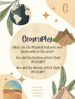
GRAPES Resource Pack! Posters, PPT & Graphic Organizer!! In English & Spanish!
G.R.A.P.E.S. Resource PackFor use with ANY History/Geography/Social Studies topic! Such as historical time periods, empires, civilizations, current geography, cultural studies, people groups, and more! For single-language, duo-language, and bilingual classrooms.This pack includes:A printable poster for each letter with discussion questions in both English and SpanishA PowerPoint to reference with discussion questions in both English and SpanishA graphic organizer for students to complete in both
Grades:
5th - 12th
SECONDARY CLASSROOM DECOR, BINDER LABELS, World Map, Globe
CLASSROOM DECOR, BINDER LABELS, World Map, Globe, Secondary Classroom DecorClassroom Decor for Elementary and Secondary Classroom LabelsClassroom BannersClassroom Bulletin BoardsClassroom Organization and SO MUCH MORE! VISIT MY STORE AND FOLLOW TO GET UPDATES WHEN NEW RESOURCES ARE ADDED English, Math, Science, and Social Studies Black and White Classroom Decor, Binder Covers, and Classroom LabelsThe following labels are included with BLANK copies to personalize as well: English, Reading, Wri
Subjects:
Grades:
4th - 12th
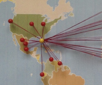
Celebrate Diversity - Where Are We From? Bulletin Board Map/Activity.
Where Are We From?
This fun activity plots locations on a bulletin board map for the whole class to see. It is great for representing cultural diversity in the classroom. Ask students about their culture and ancestors and then plot data for all to see in a unique way. This product includes a material list, directions, tips, and a sample worksheet.
The activity and the corresponding bulletin board decoration can be used in a variety of ways. It can be an opening of the year icebreaker and
Subjects:
Grades:
4th - 12th
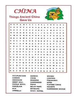
China Word Search Puzzle - Things Ancient China Gave Us - Wordsearch
A word search list of contributions of China to the world. Silk, Umbrellas, Fireworks, Paddleboats, Cannons, Chess, Kites, Rockets, Crossbows, Gun Powder …..etc. People who likes this worksheet also liked the one on Rome and Egypt.
Grades:
4th - 12th
Types:
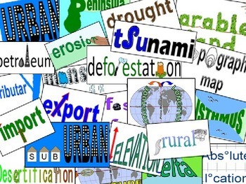
Academic Vocabulary: Geography word wall & powerpoint
Updated in March 2013, this adds 14 new terms to the original 12 landforms and 20 geography concept terms made visually MEMORABLE to our students. The idea is to make it so that when kids see one of these terms in print on a test or in a text, they automatically SEE the picture. I started doing this out of frustration that my kids could not keep "urban" and "rural" straight. I created "visual vocabulary" for those two terms and it was almost magical how they then remembered those terms. So I
Subjects:
Grades:
4th - 11th
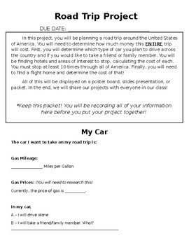
ROAD TRIP PROJECT
This Road Trip Project is meant for middle school math students, but can be changed for younger or older.
In this project, students must choose ten places to stop at around the United States of America. At each stop, they need to go to at least one attraction and stay at a hotel. They need to calculate the cost to visit each location and the cost of travel, keeping in mind the mileage for the vehicle they choose.
This purchase includes a full description of the project, tables for students to
Subjects:
Grades:
5th - 10th
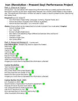
Iran Research Project w/ Poster (Revolution - Present)
Iran research project with poster requirements included. Steps 1-2 are required research. Step 3 has topics for students to choose from to research. Step 4 is the poster requirement. Step 5 is a Gallery walk with questions attached for student feedback.Include examples of finished poster.
Subjects:
Grades:
9th - 10th
Also included in: Geography & History of the World Research Projects (4 Total)
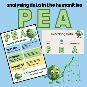
Analysing Data - Maps & Graphs using PEA method - Ppt, Poster & Worksheets
This mini unit covers teaching the PEA (Pattern, Evidence & Anomaly) data analysis method used predominantly in Geography & Economics. I have used this method in Years 8 through 11.This package includes:Powerpoint - 11 slides describing the method and including maps and graphs for practice (in editable powerpoint format)Worksheets - Two practice worksheets (in editable word format)Poster for the classroom (non-editable pdf)6 Mappea character clipart images
Grades:
8th - 11th
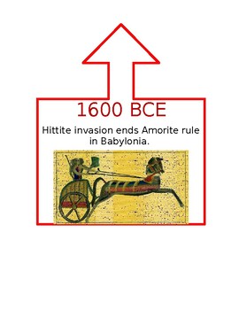
Ancient World History Timeline
This timeline was created for a 6th Grade Ancient World History class that utilized DBQs as part of instruction. Dates in CE are blue, BCE are red, and when the event spanned both they are purple. An arrow is at the top of the box to help signal where on the line the event took place. I used duct tape to create my line and pinned the events as we learned them during the school year. This was a great visual display for my students and helped them understand how different parts of the world were c
Subjects:
Grades:
5th - 12th
200+ Premade Geography Terms for Word Wall + Blank Strips to Make Your Own
121+ Geography term for use of a Word Wall + blank strip for extra words. Font: 39 SmoothAbsolute locationAccessibility resourceAcculturationAcid rainActive volcanoAgricultureAltitudeArchipelagoAshAtlasAtmosphereAxisBayBedrockBiosphereBirth rateBoundaryButteCanalCapeCapital goodsCapitalismCardinal directionsCarrying capacityCartographerCinder coneClimateColonialismCommand economyCommercial farming CommunismCompass roseGeographyConiferousConstitutional monarchyConsumerContinentContinental climate
Grades:
6th - 12th
Types:
Also included in: Build A Bundle for Georgianne B
World Geography — Five Themes of Geography Word Wall
Add these creative and aesthetic cards to your vocabulary geography word wall while teaching the five (5) geographical themes. Vocabulary word wall cards assist in vocabulary development. The cards should be used as an instructional tool for teachers and then as a reference for all students, particularly English learners and students with disabilities. Each card consists of a word, definition, and related image: Location: Absolute and Relative LocationPlace: Human Characteristics and Physical Ch
Grades:
5th - 12th
Types:
Also included in: Bundle for Brittany G.
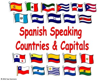
Spanish Speaking Countries and Capitals Signs / PowerPoint
Use these signs to decorate your room and present, practice and review Spanish speaking countries and capitals. In addition to the official Spanish speaking countries, the presentation includes the U.S. and Puerto Rico because of the large number of Spanish speaking residents as well as Guam and the Philippines because of the Spanish influence in those 2 locations. Both Guam and Puerto Rico indicate that those 2 locations are part of the U.S. There are 3 slightly different sets included in thi
Subjects:
Grades:
3rd - 12th
Also included in: Spanish Speaking Countries Bundle - Paises Españoles / Spanish Countries
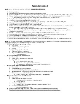
AP Human Geography Agriculture Project
This is a project that aligns with the Agriculture unit of AP Human Geography. This traces the evolution of agriculture through the different time periods, assessing the positives and negatives and specific types of farming included.
Subjects:
Grades:
9th - 12th
Types:
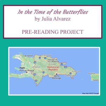
"In the Time of the Butterflies" Pre-Reading Map Project
In the Time of the Butterflies by Julia Alvarez // Pre-Reading Map Project This is the perfect project to get students motivated to learn more about the dictatorship of Rafael Trujillo in the Dominican Republic and how the Mirabal sisters developed an underground revolution to fight against him and his murderous regime.It helps students develop the necessary geographical background knowledge for a country they may not be familiar with, as well as familiarizing themselves with some of the Spanish
Subjects:
Grades:
10th - 12th, Higher Education
Imperialism | Group or Independent Research | Colonization | World History
Encourage your students to learn about Imperialism from the perspective of the colonized. What long term effects does colonization have? How does colonization begin, and what process allowed it to come to an end? Use this project as a JIGSAW to cover multiple regions in depth as part of larger unit of Imperialism. Possible countries to study: IndiaPhilippinesIndonesia Cambodia Morocco Democratic Republic of CongoLibyaThe Ivory Coast ChadNigeriaMadagascar BrazilColombia HaitiThis project could be
Grades:
8th - 11th
Also included in: IMPERIALISM UNIT | World History | Notes | Student Activities | Project

AP Human Geography- ESPN Model Poster
Do you utilize E.S.P.N for various activities? Hang this poster up in your classroom to assist students in their application skills and thinking using E.S.P.N!Found in many social studies classrooms, the E.S.P.N chart is a great way for students to organize their thoughts as a possible outline for an essay, set up a discussion, or just get students thinking about a particular topic. It can be used as a collaborative, Think-Pair-Share, or individual assignment. This is not an assignment, it is a
Subjects:
Grades:
5th - 12th
Types:
CCSS:
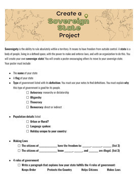
Create a Sovereign State project
Assesses students on their understanding of sovereignty in a creative and fun way. SStudents will create a poster encouraging people to move to their unique state. It can be done digitally through a program such as Canva or physically on a poster or piece of cardstock.Requires students to understand :-Types of government (autocracy, monarchy, dictatorship, democracy, theocracy, anarchy).-Population-Roles of governmentPart of the poster project is a writing component that increases rigor.100 poin
Grades:
6th - 12th
Types:
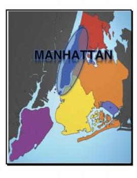
Map, New York, 5 Boroughs
Each page of this document includes a map of NY with a variety of places highlights:
- 5 Boroughs
- Hudson River
- East River
- Atlantic Ocean
Great for labeling student tables for a unit and/or handing out to study maps.
Grades:
K - 12th, Higher Education
Types:
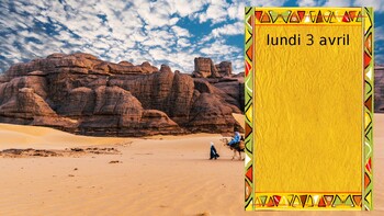
DAILY AGENDA BACKGROUNDS: FRANCOPHONE AFRICA
These virtual backgrounds are designed to display objectives and daily activities. Each silde has a distinct picture with French speaking African countries as the background. Each slide comes with a text box to change the announcements. The set comes with 20 different pictures.
Subjects:
Grades:
8th - 11th
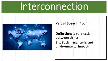
Geography Biomes Vocabulary Bundle
Ensure your students have the vocabulary they need to be successful at speaking and writing geographical issues. Geography biomes vocabulary posters and explicit vocabulary teachings resources are excellent addition to any Geography classroom. Extend your students vocabulary and knowledge of Geography and Biomes. Australian curriculum aligned.Australian CurriculumPresent findings, arguments and explanations in a range of appropriate communication forms, selected for their effectiveness and to su
Subjects:
Grades:
7th - 12th
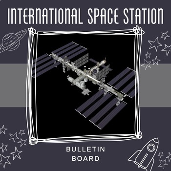
International Space Station Bulletin Board
Bulletin Board resource contains:15 fun facts about the International Space StationEach fact is displayed on an individual slide3 slide titleSlides can alternatively be used as a powerpoint lesson2 high resolution images of the ISS that can be printed as posters.Facts are sourced from the Kennedy Space CenterISS image from issnationallab.org
Subjects:
Grades:
4th - 12th
Showing 1-24 of 178 results


