917 results
4th grade geography printable microsofts
Trip to Mexico Power Point and Activities Pack | Cinco De Mayo Activities
Have a great time learning about Mexico with this fun Power Point and Activities Pack. Both PowerPoint and Google Slides versions are included. It's the perfect activity during Cinco De Mayo, the last week of school, or for some Friday fun! Your class will be introduced to the geography, language, culture, and food in Mexico. The PowerPoint is packed with colorful, real photos. And a variety of activities are included to help your students reflect on what they've learned. Be sure to read the tip
Subjects:
Grades:
K - 6th

Latitude & Longitude Worksheet for Latitude & Longitude Practice with PowerPoint
This interactive Social Studies lesson engages your students in note-taking of important concepts and lets them use their creativity to show what they have learned!▁▁▁▁▁▁▁▁▁▁▁▁▁▁▁▁▁▁▁▁▁▁▁▁▁▁▁▁▁▁▁▁▁▁▁▁▁▁WHAT IS INCLUDED IN THIS RESOURCE?⇨ 10-page PowerPoint Presentation: Show a vibrant Powerpoint to your students to introduce concepts like longitude, latitude, grid map, coordinates, Prime Meridian, International Dateline, and Equator. ⇨ Accompanying Worksheets: As you engage them in this powerp
Grades:
2nd - 5th
"Trip to Hawaii" Power Point & Activities Pack!
This makes for such a fantastic end of year activity! You'll have a great time learning about Hawaii with this fun Power Point and Activities Packet with your students. Read about how I take my class on this exciting adventure below....Check out other products like this!Trip to Mexico BundleTrip to Australia BundleTrip to South AmericaFREE World Travel Student PassportIncluded in this pack... (check out the preview file for a sneak peek!)-47 slide power point on Hawaii where you learn about -
Subjects:
Grades:
K - 6th
"Trip to South America" Power Point & Activities Pack!
Have a great time learning about South America with this fun Power Point and Activities Packet. Read about how I take my class on this exciting adventure below....✨Check out other products like this!Trip to Mexico BundleTrip to Hawaii BundleTrip to Australia BundleFREE World Travel Student PassportIncluded in this pack: -55 slide power point on South America where you learn about -the geography -the language -fun places to visit -the culture -the food -the animals14 Pages of Activiti
Subjects:
Grades:
1st - 6th
"Trip to Australia" Power Point & Activities Pack!
Have a great time learning about Australia with this fun Power Point and Activities Packet! Read about how I take my class on this exciting adventure below.Check out other resources like this!Trip To Asia BundleTrip to Mexico BundleTrip to Hawaii BundleTrip to South America BundleFREE World Travel Student Passport✨Save $$ with the Continents and Countries Bundle! Get 8 different "Trip to" resources to use throughout the year, and save 30%!Included in this pack... 50 slide PowerPoint or PDF on Au
Subjects:
Grades:
1st - 6th
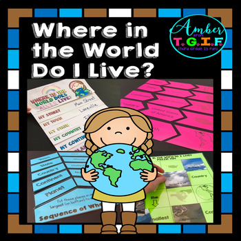
Me on the Map activities | Where Do I Live
I have always used a Me on the Map flipbook to help my students understand the concept of “Where do I live?” I felt they needed more practice to really get a great grasp of the concept of “Where in the world do I live?” so these fun centers were also created. Bonus – The “state” and “town” sections are EDITABLE to type in your own state and town names. Here is what is included:* “Where in the World Do I Live (Me on the Map) flipbook (blank versions and with clipart of planet, continent, count
Grades:
2nd - 4th
Types:
Also included in: Map Skills for 2nd, 3rd, and 4th Grades Bundle | Print and Digital
A Trip To Asia Power Point & Activities Pack!- Asia Continent Study
Have a great time learning about a few of the countries in Asia with this fun Power Point and Activities Packet. Read in detail about how I take my class on this exciting adventure below....Grab this freebie to go with it! :)World Travel Student PassportIncluded in this pack:-75 slide power point on Asia where you learn about: -the geography -the language -fun places to visit -the food -the animals - this power point visits Japan, China, Russia, and Thailand specifically.Activity Boo
Subjects:
Grades:
1st - 5th
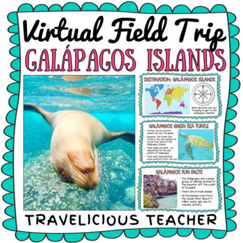
Galápagos Islands Virtual Field Trip
The Galápagos Islands of Ecuador are home to some of the most unique animals in the WORLD! Take your students on an engaging virtual field trip to these beautiful islands. Learn all about Charles Darwin, the islands, and the many animals that live there.INCLUDED IN THE EXPERIENCE:Photographs from the Galápagos IslandsDiscuss the cardinal directionsGalápagos Fun FactsGreen Sea TurtlesGiant TortoisesSea LionsMarine IguanasVideo about Charles DarwinVideos of each animal in their habitatTHIS RESOURC
Subjects:
Grades:
1st - 5th
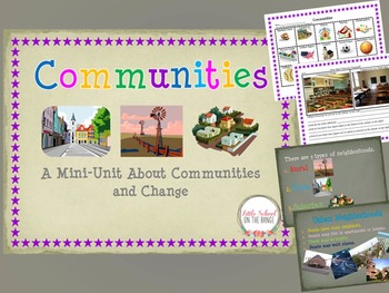
Communities and How They Change Over Time BUNDLE
Communities and How They Change Over Time BUNDLE
This Unit Contains:
• Communities I Belong To
• Types of Communities (Urban, Rural, Suburban)
• Communities Sort (Urban, Rural, Suburban)
• Communities Past and Present (Change)
• Communities Past and Present (Change)
• Technology of the Past and Present Sort
• Schools Past and Present
• Two Pages of Discussion Questions
The sorts and activities are great ways to reach the upper levels of Blooms Taxonomy. Students not only learn about communitie
Subjects:
Grades:
K - 4th
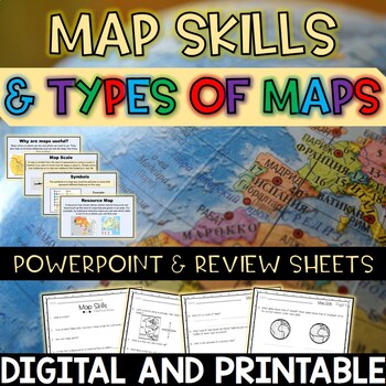
Map Skills and Types of Maps Editable PowerPoint and Review Sheets
Let’s make a geography unit about maps more engaging by starting off your lesson with this 100% editable PowerPoint! After OR during the PowerPoint, have students fill in the review sheets to check for understanding. Topics included: What are maps? Why are maps useful? Globes Map scales Compass rose (cardinal and intermediate directions)Map key / legend Symbols Types of maps (political, physical, climate, resource, road)EquatorPrime meridian Hemispheres Latitude and Longitude Cartographer Contin
Subjects:
Grades:
3rd - 5th
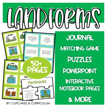
Landform Activities with Landform Worksheets for Landforms and Bodies of Water
Need to make LANDFORMS exciting? Grab this set of landforms activities that cover twelve different landforms found around the world!Landforms included in this resource:River, canyon, gulf, hills, island, lake, mesa, mountain, ocean, plateau, peninsula, valley.Included with this purchase are over fifty pages of landform worksheets:Student Landform Mini-Book: Two booklets per one copy. Students will identify the landform pictured and list the characteristics that describe the landform.Landform
Subjects:
Grades:
2nd - 5th
Also included in: Landforms Resource Bundle
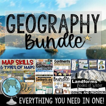
Geography Bundle– Map Skills, Landforms & Bodies of Water, Continents and Oceans
You don’t want to miss out on this Geography bundle that covers map skills, types of maps, landforms and bodies of water, and continents and oceans. Everything you need is included: 100% editable PowerPoints, a variety of printables, interactive notebooks, digital activities, posters, and more. *Also includes digital access via Google Slides. Map Skills and Types of Maps Your students will have fun learning all about the map elements (title, compass rose, legend, map scale, coordinate grid), the
Grades:
3rd - 5th
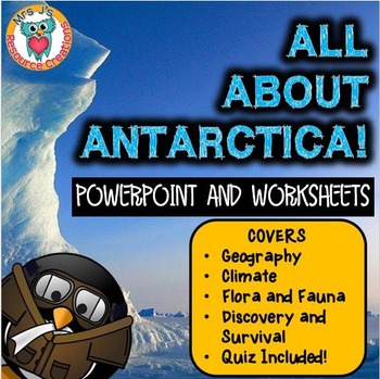
Antarctica Unit - Antarctica Activities and Resource Pack
This Antarctica Powerpoint and booklet has been designed to supplement your lessons on Antarctica.In the PowerPoint you will find lots of external links provided to relevant and engaging videos, with important key points highlighted on the slides. Some activity suggestions and discussion points also added on some pages. Check out our Renewable & Non Renewable ResourcesThe PowerPoint covers the following:- Introduction (origins, location, size, night/day, ownership, importance)- Geography (la
Subjects:
Grades:
3rd - 6th
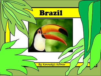
BRAZIL Power Point and Activities for Gr. 2 - 4
This 97 Page Unit has everything you have ever wanted to teach your students about the beautiful country of BRAZIL.
Check out the PREVIEW to see this unit in detail!!
There is a 50 page Power Point (in pdf format) to help hook and engage your students into learning all about this important country. You will love the activities that are included in this unit. There are 30 pages of activities. Some of the activities are listed below.
* KWL Question Sheet
* Label the Map Activity Sheet
* Ma
Grades:
3rd - 6th
A Trip To Europe Power Point & Activities Pack!
Have a great time learning about a few of the countries in Europe with this fun Power Point and Activities Packet. Read in detail about how I take my class on this exciting adventure below....Grab this freebie to go with it! :)World Travel Student PassportIncluded in this pack:-70 slide power point on Europe where you learn about: -the geography -the language -fun places to visit -the food -the animals - this power point visits Paris, Rome, London, & Barcelona specifically.Activi
Subjects:
Grades:
1st - 5th
Attention Washingtonians! - Washington State Bundle
If you are a teacher in Washington, I've got your back. Here is everything you need to teach your Washington State History unit!Students will complete a research project as you learn about The Evergreen State:HistoryGeographyFamous WashingtoniansState SymbolsOther Awesomeness!Check out the links below for individual product information...
Grades:
3rd - 7th
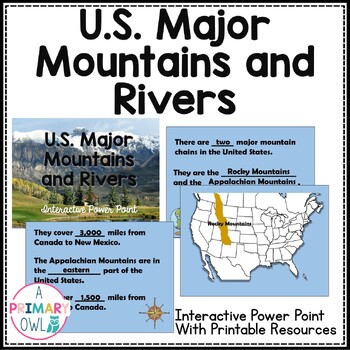
Major US Mountains and Rivers Interactive PowerPoint and Resources
If you are studying the major mountains and rivers in the US this makes a great introductory lesson. The PowerPoint is interactive and is complete with transitions, the teacher presents in slide show mode and the students follow along on their worksheet and fill in the blanks. This makes a great study guide when complete or glued into an interactive SS notebook. Also included is a cut and glue map.This includes:The Rocky Mountains and the Appalachian MountainsThe Mississippi RiverThe Colorado Ri
Subjects:
Grades:
3rd - 4th
Also included in: 3rd Grade Georgia Social Studies Bundle
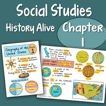
Doodle Fold - History Alive Chapter 1 - Geography of the United States
Chapter 1 Geography of the United States
Includes:
student blanks and teacher keys
plus a PowerPoint to show the answers!
NEW and UPDATED! I added color to all the files and also powerpoints to show the keys.
This is one chapter as part of a larger bundle priced at $19.60 for 20 chapters,
found here:
Doodle Notes - Social Studies History Alive Foldables
All content is aligned to the History Alive Social Studies (America's Past) book.
One foldable for each chapter.
Save yourself tons of ti
Subjects:
Grades:
4th - 6th
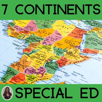
7 Continents Intro to Geography for Special Education World Geography Unit
This unit on the 7 continents is specifically designed for students in special education who take alternate assessments. Based on extended content state standards, this world geography unit is the perfect intro to geography. This unit addresses the main characteristics of the 7 continents in a simplified but rigorous way for students with diverse learning needs to make meaningful and authentic connections to the material. There are many opportunities for students to engage in repeated informatio
Subjects:
Grades:
4th - 6th
Also included in: Elementary Social Studies Special Education Curriculum Bundle
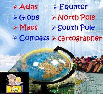
Maps and Globes Geography Interactive PowerPoint (3rd, 4th, 5th Grades)
This is a beautiful and informative 36 slide PowerPoint presentation. This is a super fun and interactive slide show. Maps and Globes Geography Compass Interactive PowerPoint Presentation This ZIP file contains:1. 36 slide PowerPoint presentation2. 36 pages PDFPPT animated presentation to use it in the classroom with any type of interactive board. Use F5 for full screen and clicks or keyboard arrows to run presentation.I've given you 5 slides to look at in the Download Preview – take a look! E
Subjects:
Grades:
1st - 10th

BUNDLE - ALL STATE PRODUCTS
This bundle includes all of the state products listed in the store:All State PuzzlesModified State PuzzlesJumbo PuzzleStates Study FoldersState Location and Capitals PowerpointU.S. States Location Flashcards/Memory GameState and Capital Flashcards/Memory GameI Have Who Has - U.S. States and CapitalsIf you have purchased one of these resources within the last year, and decide to purchase this bundle, TPT offers a Duplicate Purchase refund. You can read about it here: https://www.teacherspayteache
Subjects:
Grades:
2nd - 4th
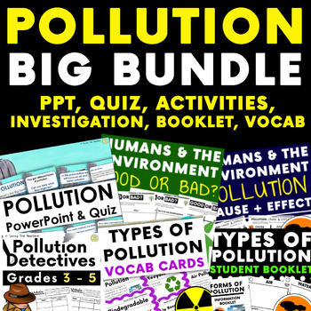
Humans and The Environment: Pollution - HUGE BUNDLE
This huge pollution bundle is perfect for your ‘Humans and The Environment’ topic packed full of loads of goodies from quizzes, to investigations to engage your students. This pack teaches your students about the different types of pollution, getting them to consider the environmental impact each has on the environment along with how we can both negatively and positively affect the environment in the way that we live. Contents: - PowerPoint and quiz- Cause and effect activity: Students must mat
Subjects:
Grades:
2nd - 5th
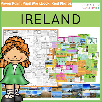
IRELAND Country Study PowerPoint and Pupil Workbook
Exploring Ireland Pack:Age Range: 3rd to 6th (age 8-12)Ideal for: March and Seachtain na GaeilgeFeatures:10 engaging lessons covering various aspects of Irish life, geography, and traditionComprehensive exploration of Irish culture and heritageLesson Highlights:Irish Geography: Explore Carrauntoohil, Ireland’s highest mountain, and iconic landscapes.Irish Music: Learn about the Irish fiddle.Irish Sports: Discover Gaelic football, hurling, and camogie through group research.Irish Landscapes (Art)
Subjects:
Grades:
3rd - 6th
Also included in: March Bundle
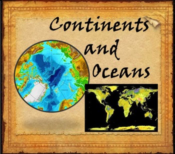
Continents and Oceans Interactive PowerPoint Game Continents Social Studies
Continents and Oceans - 7 Continents & 5 Oceans - Mountains - Rivers - Interactive PowerPoint GameThis is a beautiful and informative 45 slide PowerPoint presentation. This is a super fun and interactive slide show.* Continents * Asia* Top 5 highest mountains in Asia* The Five Largest Rivers of Asia* Africa* The Top 5 Highest Mountains In Africa*The Five Largest Rivers of Africa* North America* The Top 5 Highest Mountains in North America* The Five Largest Rivers of North America * So
Subjects:
Grades:
2nd - 8th
Showing 1-24 of 917 results


