TPT
Total:
$0.00

Subjects

Arts & Music
English Language Arts
Foreign Language
Holidays/Seasonal
Math
Science
Social Studies - History
Specialty
For All Subject Areas
30 results

4th grade european history classroom decor microsofts
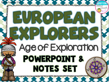
Preview of European Explorers - Age of Exploration PowerPoint, Posters, and Notes Set
European Explorers - Age of Exploration PowerPoint, Posters, and Notes Set

This PowerPoint and note worksheet set covers the following explorers:-Christopher Columbus- Vasco Nunez de Balboa- Juan Ponce de Leon- Jacques Cartier- John Cabot- Henry Hudson- Hernando de SotoThe PowerPoint includes one slide for each explorer. The PowerPoint includes the country that the explorer sailed for, years of exploration, obstacles, and accomplishments. The PowerPoint can also be printed in color and laminated to be used as classroom posters!There are also interactive note worksheets
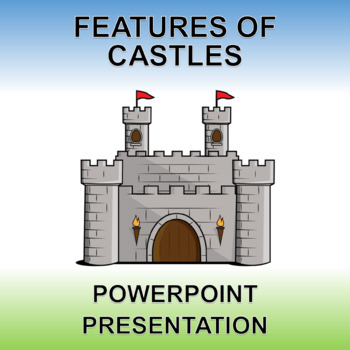
Preview of Features of Castles - PowerPoint and Printable! Low Prep.
Features of Castles - PowerPoint and Printable! Low Prep.

Buy with confidence! See the above previews and know EXACTLY what you are getting.This editable PowerPoint presentation and printable PDF are the perfect resource to introduce the features of castles and their characteristics.Includes 9 slides: title page, barbican, moat, drawbridge, portcullis, ramparts, towers, battlements and the keep.
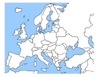
Preview of Global/U.S. - Maps Databank - Europe

Global/U.S. - Maps Databank - Europe

98 pages of maps related to the continent of Europe. This databank of maps can be used for a variety of purposes depending on your lesson. Some examples of the types of maps included (but not limited to) are:- Political maps- Physical maps- Blank political maps- Vegetation Zone maps- Climate maps- Precipitation Rate maps- Satellite maps- Economic maps- Wealth / GDP maps- Resource / Land Use maps- Religion / language / ethnicity maps- Population density maps- Flag maps- Historical maps related to
Preview of Explorers PowerPoint and Posters

Explorers PowerPoint and Posters

Created by
Mr Elementary
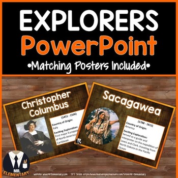
Explorers PowerPoint and Bulletin Board Posters! This is a FUN, EFFECTIVE way to teach explorers vocabulary to your class. Each slide in this Explorers PPT includes: • One of the explorers listed below • An image to help students picture the explorer • Information about the explorer to help students him or her • Bulletin board posters that use less ink to print and display the explorers in your classroom The 24 explorers included are: • Christopher Columbus • Daniel Boone • Neil Armstrong •
Preview of 50 Paris Slides w/ Photos for Novel Study and Bulletin Boards
50 Paris Slides w/ Photos for Novel Study and Bulletin Boards

Created by
Thought Process
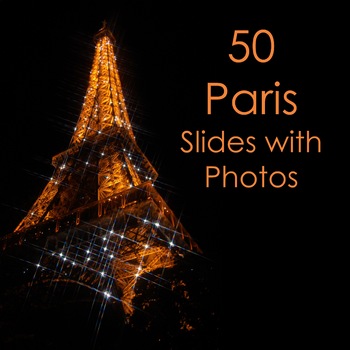
This powerpoint files includes slides with over 50 Color Photographs of Paris, France. The file can be used for bulletin boards, novel studies, French classes, France geography classes, History, Language Arts and much more! You may also use these images for commercial use (just give me credit somewhere). Are you teaching a unit on The Hunchback of Notre Dame, Les Miserables, Candide, Ratatouille, The Da Vinci Code or the Phantom of the Opera? Or maybe famous figures in history like Louis Pasteu
Preview of Early Explorers Informational Passages with Questions

Early Explorers Informational Passages with Questions

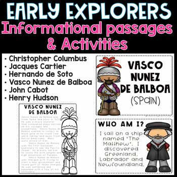
If you are looking for great, fun activities while teaching about the life and accomplishments of the Early Explorers, you are in the right place. Everything you need to teach and students to learn about these fellas can be found right here! Check it out...This early explorers bundle includes the following people: Christopher ColumbusJacques CartierHernando de SotoVasco Nunez de BalboaJohn Cabot Henry HudsonHere's what's included:PowerPoint PresentationWord Wall CardsTask Cards2 Venn DiagramsVo
Preview of Reasons Why Explorer's Explore

Reasons Why Explorer's Explore

Use this PowerPoint during your exploration unit to discuss the 5 main reasons explorers explored while giving students an easy way to remember... "4 Gs and an A" (Gold, Growth, God, Glory and Adventure). This lesson is great for use during your exploration unit as you see the rise of European maritime exploration in the 1400s and 1500s. This PowerPoint can serve as a great discussion tool because as you click through, the pictures come up first allowing students to guess what they think the "
Preview of Famous Explorers Mini Poster Set

Famous Explorers Mini Poster Set

Created by
Pencil Points
This Mini Poster set has many of the most influential European Explorers to find their way to the new world. Each poster has a graphic image of a famous explorer, the years they lived, the country they were sponsored by and a few important facts about each one. I use this set in my classroom to compliment our explorer unit. It is friendly and a quick reference for the explorers.
Preview of California: Missions Story Map

California: Missions Story Map

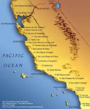
This is a fun and engaging activity to help your students learn about California’s history during the Spanish Missions era. They will listen to you read out loud the story of how California was ruled by the Spanish, how they established the 21 California missions, and how this had an impact on California’s history.Your students will be drawing a “quick draw” of what you have read for each section (see below) on one side of their paper, and then write a short summary of each section.Have students
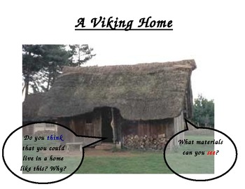
Preview of The Vikings Display

The Vikings Display

Created by
Shareen Sharif
Outstanding display on the Vikings - includes information on Viking homes, Viking clothes and the Viking Longboat. This display is ready to be printed and put up for display or can be personalised to create activity sheets etc. It is visually appealing and was deemed outstanding in an inspection!
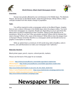
Preview of Black Death Newspaper Project

Black Death Newspaper Project

Students are asked to travel back in time and report on the Black Death. They are to create a newspaper reporting on what they know on the Black Death. This includes directions, links that provides information, and a template to follow. Students loved doing this because they are able to show the creative side. I had students use the computer and also by hand.
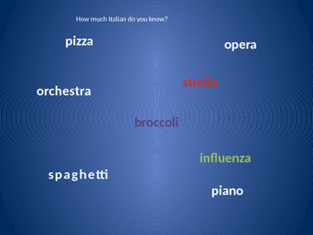
Preview of Italy and the Italian Language - Quick Introduction
Italy and the Italian Language - Quick Introduction

This Power Point Presentation is a great way to creatively introduce some words in the Italian language along with some basic geographical information about Italy. Use for your first day of Italian class or for a unit on Italy. Great for upper elementary and Middle School. Check out also "Italian and Italiano, an Introduction Assesment Sheet" This is a one page document that students can fill out while watching the Power Point. Sold separately.
Preview of Découverte du monde : évolution des vêtements
Découverte du monde : évolution des vêtements

Created by
Les chrysalides
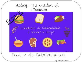
Have fun teaching your students history : Amazing charts quality to talk about a theme through the ages This resource allows students to talk about what they know on history. and learn a lot ! (lots of vocabulary) You can show them chart by blocks on a smartboard or projector.. You can organize the kids by groups, give them the blocks and have them make a presentation.. The lesson with everything they need to know is included. Parfait pour les programmes français de l'éducation nationale, de
Preview of Découverte du monde : évolution de l'alimentation
Découverte du monde : évolution de l'alimentation

Created by
Les chrysalides
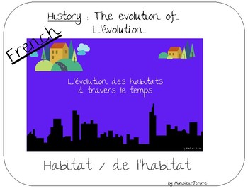
Have fun teaching your students history : Amazing charts quality to talk about a theme through the ages This resource allows students to talk about what they know on history. and learn a lot ! (lots of vocabulary) You can show them chart by blocks on a smartboard or projector.. You can organize the kids by groups, give them the blocks and have them make a presentation.. The lesson with everything they need to know is included. Parfait pour les programmes français de l'éducation nationale, de
Preview of Découverte du monde : évolution de l'habitat
Découverte du monde : évolution de l'habitat

Created by
Les chrysalides
Have fun teaching your students history : Amazing charts quality to talk about a theme through the ages This resource allows students to talk about what they know on history. and learn a lot ! (lots of vocabulary) You can show them chart by blocks on a smartboard or projector.. You can organize the kids by groups, give them the blocks and have them make a presentation.. The lesson with everything they need to know is included. Parfait pour les programmes français de l'éducation nationale, de
Preview of Explorers Project

Explorers Project

Created by
Gian Verderame
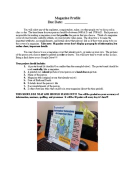
This is a project on the Explorers. The students will create a Magazine Profile of any of the explorers, rulers, or conquistadors that we have gone over in class (1400 - 1700). Picture a famous magazine cover, but with an explorer...
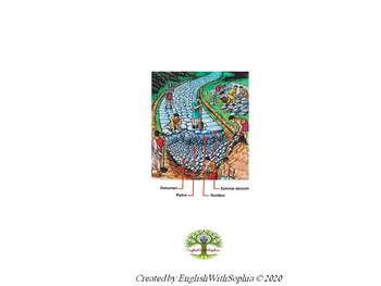
Preview of Construction of a Roman road POSTER

Construction of a Roman road POSTER

This is a great poster to learn about the steps to construct a road in Ancient Rome, one of the pillars of the expansion of the Roman Empire.
Preview of Medieval Theme PowerPoint

Medieval Theme PowerPoint

Created by
The TOTY Class
Coordinate your parent presentations with your classroom decor. Use this PowerPoint during Back to School Night, Open house, or any other event where you will be sharing information. Add or delete topics as needed. Coordinate with the Medieval Theme Classroom Decor in this store.
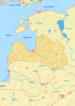
Preview of Latvia map with cities township counties rivers roads labeled
Latvia map with cities township counties rivers roads labeled

Created by
World city maps
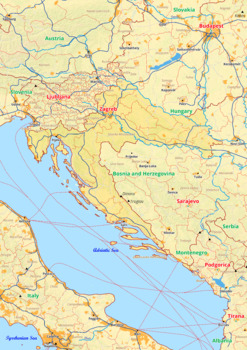
Latvia map with cities township counties rivers roads labeledLatvia Europe map is a type of map that includes geographical features such as towns, communes, counties, rivers and roads. These features are labelled with their respective names, allowing the user to easily identify them.This type of map is useful for anyone wishing to explore the country or better understand its geography.This download contains files that may be printed and copied or used digitally.__________________________________
Preview of Croatia map with cities township counties rivers roads labeled

Croatia map with cities township counties rivers roads labeled
Created by
World city maps
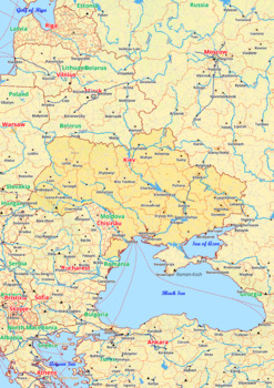
Croatia map with cities township counties rivers roads labeledCroatia Europe map is a type of map that includes geographical features such as towns, communes, counties, rivers and roads. These features are labelled with their respective names, allowing the user to easily identify them.This type of map is useful for anyone wishing to explore the country or better understand its geography.This download contains files that may be printed and copied or used digitally._______________________________
Preview of Ukraine map with cities township counties rivers roads labeled

Ukraine map with cities township counties rivers roads labeled
Created by
World city maps
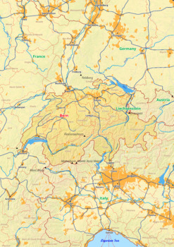
Ukraine map with cities township counties rivers roads labeledUkraine Europe map is a type of map that includes geographical features such as towns, communes, counties, rivers and roads. These features are labelled with their respective names, allowing the user to easily identify them.This type of map is useful for anyone wishing to explore the country or better understand its geography.This download contains files that may be printed and copied or used digitally.________________________________
Preview of Switzerland map with cities township counties rivers roads labeled

Switzerland map with cities township counties rivers roads labeled
Created by
World city maps
Switzerland map with cities township counties rivers roads labeledSwitzerland Europe map is a type of map that includes geographical features such as towns, communes, counties, rivers and roads. These features are labelled with their respective names, allowing the user to easily identify them.This type of map is useful for anyone wishing to explore the country or better understand its geography.This download contains files that may be printed and copied or used digitally.________________________
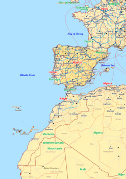
Preview of Spain map with cities township counties rivers roads labeled

Spain map with cities township counties rivers roads labeled
Created by
World city maps
Spain map with cities township counties rivers roads labeledSpain Europe map is a type of map that includes geographical features such as towns, communes, counties, rivers and roads. These features are labelled with their respective names, allowing the user to easily identify them.This type of map is useful for anyone wishing to explore the country or better understand its geography.This download contains files that may be printed and copied or used digitally.____________________________________
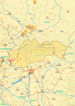
Preview of Slovakia map with cities township counties rivers roads labeled

Slovakia map with cities township counties rivers roads labeled

Created by
World city maps
Slovakia map with cities township counties rivers roads labeledSlovakia Europe map is a type of map that includes geographical features such as towns, communes, counties, rivers and roads. These features are labelled with their respective names, allowing the user to easily identify them.This type of map is useful for anyone wishing to explore the country or better understand its geography.This download contains files that may be printed and copied or used digitally.______________________________
Showing 1-24 of 30 results

Find European History resources | TPT

Take your students on a journey through European history with TPT! If you’re an educator or parent looking for printable or digital resources to help your student learn about European history, we’ve got you covered. Whether you’re teaching about the Renaissance, the Age of Exploration, or the World Wars, there are plenty of high-quality TPT resources at your fingertips to teach European history to your students.

European history activities to try

Here are a few examples of the different types of activities and lessons you can find on TPT to help teach students about European history:

Centers & Stations

Through the use of centers, students can collaborate and discuss topics and content they examine for various eras in European history. For example, you could have students navigate through a handful of centers or stations to help them learn about different elements of the Renaissance period, including influential cities, leaders, and artists. Or, to help them learn about the key figures and milestones of the French Revolution.

Map Making

With map-making activities you can not only teach students about European history, but also incorporate geography into your lessons. As they label and color maps, students can learn about important places in Europe and how European countries have expanded (and fallen) over time. For example, you could have students make maps of Europe before and after World War I to identify how the conflict impacted Europe.

Primary Source Analysis

One of the best ways to learn about European history is through historical documents, letters, diaries, art, and literature. Encourage students to use these firsthand accounts to gain a deeper understanding about European people and events. For instance, you can have students read excerpts from the works of Enlightenment philosophers — like Mary Wollstonecraft — and how they contributed to the political thinking of the time.

Research Projects

Have students research and present on a specific topic of European history, like the Age of Exploration. For example, ask students to choose a famous European Explorer to research, and have them write a short biography of that person or create a short video or presentation about their achievements and legacy.

Frequently asked questions for teaching European history

What is taught in European history?

In European history courses, students are taught about the cultural, economic, political, and social milestones that shaped Europe from the Middle Ages until the present.

What types of European History resources are available on TPT?

There are many different types of European history resources sold by Sellers on TPT — from interactive notebooks to gallery walks.

How do I find European history resources on TPT?

Educators can save time preparing European history lessons with resources created by experienced teachers. Simply start a search for European history resources on the TPT marketplace, and filter by grade level, price, and/or resource type to find materials that've been proven to work in classrooms like yours. No matter what you’re teaching, there are plenty of lessons and activities sold by Sellers on TPT that are tailored to meet your students' skill levels.