2,094 results
Middle school geography interactive notebooks
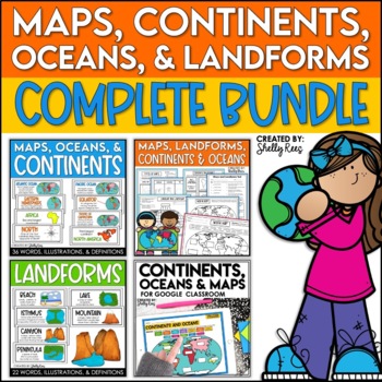
Maps, Continents and Oceans, Landforms, and Map Skills Bundle
This Social Studies bundle includes the best-selling Maps, Continents, and Landforms Interactive Notebook, along the coordinating word wall posters! Students and teachers love the ease of the hands-on printables, worksheets, and digital activities of this complete bundle!By purchasing this bundle, you are saving 20% off the full value of the individual resources.This helpful, easy to use bundle includes:Maps, Continents, Landforms, and Map Skills Interactive Notebook Continents, Oceans, and Maps
Subjects:
Grades:
3rd - 6th
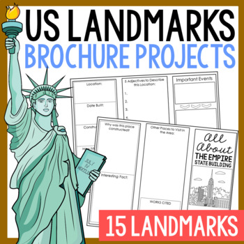
USA LANDMARKS Research Projects | United States Geography Report Activity
This bundle of (15) two-sided tri-fold research brochure templates allows students to dig deeper into facts about famous landmarks in the United States. You'll also find a BLANK template to use with ANY landmark that is not included with this resource. Makes a great addition to your American history and geography unit studies throughout the year. Keep these in your early finisher folder or your sub-folder for no-prep fun.CLICK HERE to save 30% on this resource in the American Landmarks activity
Subjects:
Grades:
3rd - 7th
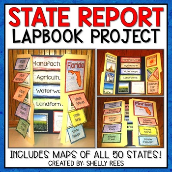
State Report | A State Research Project for ANY U.S. State! | 50 States
Your students will love researching and learning about ANY state with this lap book project! Everything you need to easily set up and implement a fun, hands on state research project in your classroom is included.
This packet includes separate map pages of ALL 50 states, so that you can either assign all students to research the same state (usually the one you reside in) or assign students to each create a lap book for a different state. The finished projects make a wonderful display!
If yo
Grades:
3rd - 6th
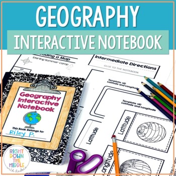
Geography and Map Skills Interactive Notebook | Print and Digital
Teaching geography and map skills doesn't have to be boring! This is a great way to teach geography and map skills. Students remain engaged through the hands-on portion of the interactive notebook. In addition to the hands-on activities, students produce a product that is useful to develop good study habits. This resource includes both the print and digital ready versions all in one. You have access to both in case you find yourself in need of one or the other throughout the school year. Templat
Grades:
3rd - 6th
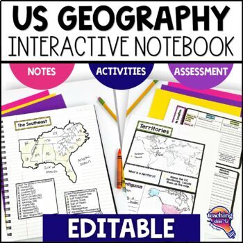
United States Geography & U.S. Regions EDITABLE Interactive Notebook & Test
Support upper elementary students’ reading skills with this U.S. Geography and its Regions Interactive Notebook. This editable unit is a complete study of United States Geography, including interactive activities, maps, vocabulary, graphic organizers, and assessment. Students will explore physical geography, such as mountains and rivers, and the regions of the United States. This interactive notebook includes activities, maps, and organizers on the following topics:United States Map Activity Vo
Grades:
4th - 6th
4th 5th & 6th Grade Social Studies Curriculum Activities Project Unit Bundle
Social Studies Class will be your students' favorite time of the day with this popular, engaging bundle of activities, including foldables, timelines, mini books, bulletin boards, and more! The hands-on units in this bundle will help your students learn and understand the events and concepts of American History, Government, and Geography.Click the PREVIEW button above to see everything included!By purchasing this complete bundle, you are saving 20% off the price of the individual units.ALL packe
Grades:
4th - 7th
American History & U.S. Geography EDITABLE Interactive Notebook 7 Unit BUNDLE
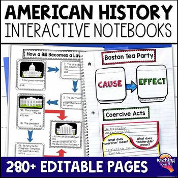
Looking for a way to increase students' interest in United States geography, Native Americans, and American history through Westward Expansion? These interactive notebooks hook students on history - and support their reading skills! These units include interactive activities, maps, vocabulary, graphic organizers, and assessments. What’s Included in the Bundle⭐ United States Geography Interactive Notebook ⭐ Native Americans Interactive Notebook ⭐ Explorers & Exploration Interactive Notebook⭐
Subjects:
Grades:
4th - 6th
Causes of the Civil War | Civil War Map and Timeline DIGITAL and PRINTABLE
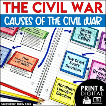
Students are fully engaged in learning about the causes of the Civil War with this interactive packet. The hands-on approach of this resource, including a timeline, foldables, map activity, bulletin board, and more, will help your students learn and understand the cause and effect relationships of events in this period of history!Click the PREVIEW above to see this resource in greater detail!Click here and SAVE 20% by buying ALL 15 Social Studies Interactive Notebooks and Mini Units in one Year
Grades:
5th - 8th
State Research Project | State Report for Google Classroom | 50 States Project
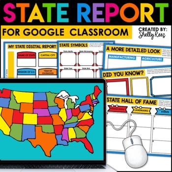
Your students will love completing a state research report with this easy-to-follow digital U.S. State Report Project! Students can research any state and use the provided slides to complete their report. A great option is to print the reports when students are finished to create an eye-catching display for your classroom!Click the PREVIEW button above for a closer look at everything included!This engaging Digital State Report Packet includes:State Research Resource Guide (a list of student-frie
Grades:
3rd - 6th
Geography of Africa Map Practice Activities | Print and Digital | Google
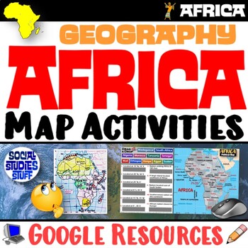
End the cycle of bored students copying from books to label maps! Your classes think critically with these digital, interactive, geography activities. First, students answer questions about Africa by analyzing various physical & political maps of the region. Then, a drag & drop challenge assesses their learning of the locations. This resource also includes a printable worksheet that takes labeling maps to the next level! They create a map using only absolute & relative location clues
Subjects:
Grades:
5th - 12th
CCSS:
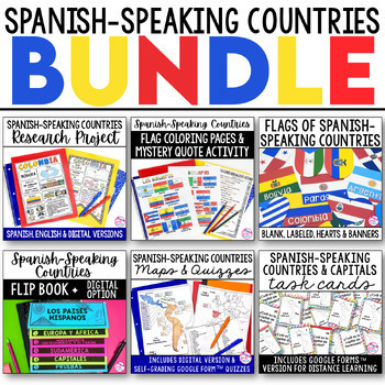
Spanish Speaking Countries BUNDLE Project Maps Flip Book Quizzes + DIGITAL
This money-saving bundle has everything you need to teach the Spanish-speaking countries, their locations, and capitals! Includes maps, quizzes, project, activities, and more! Save over 30% on this bundle of the following items:Spanish-Speaking Countries Flip BookNo cut, no waste, 6 page / 3 pieces of paper printable flip bookDigital flip book in Google Slides for paperless or distance learningWestern Europe map to label SpainWest Africa map to label Equatorial GuineaCentral America / North Am
Subjects:
Grades:
6th - 12th
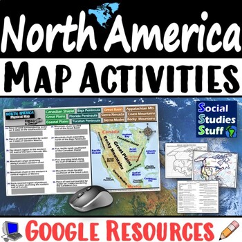
Geography of North America Map Practice Activities | USA Canada Mexico | Google
End the cycle of bored students copying from books to label maps! Your classes think critically with these digital, interactive, geography activities. First, students answer questions about North America by analyzing various physical & political maps of the region. Then, a drag & drop challenge assesses their learning of the locations. This resource also includes a printable worksheet that takes labeling maps to the next level! They create a map of the United States, Canada, and Mexico u
Subjects:
Grades:
5th - 12th
CCSS:
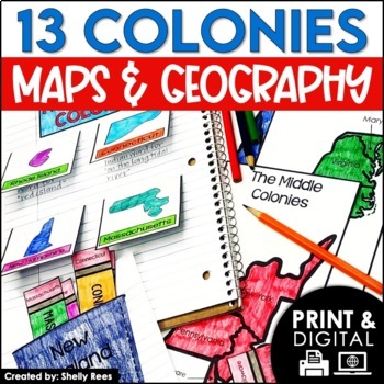
13 Colonies Map and Activities | Colonial America Unit | DIGITAL & PRINTABLE
Your students will love learning about the 13 Colonies maps and geography with this interactive packet. These hands-on activities, like maps, foldables, bulletin board, and more, will help your students learn and understand the geography and regions of Colonial America!Click the PREVIEW above to see everything included in this resource!Click here and SAVE 20% by buying ALL 15 Social Studies Interactive Notebooks and Mini Units in one Year-Long Bundle.This resource includes both a printable vers
Grades:
3rd - 6th
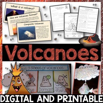
Volcanoes Complete Pack - Printables, Editable PowerPoint, Interactive Notebooks
This Volcano Unit is exploding with a variety of printables, Diagrams, Interactive notebooks, and a 100% editable PowerPoint.*Also includes digital access via Google Slides.What’s included in the pack: (Answer keys are included.) • PowerPoint Review Sheet• Volcanoes Reading Comprehension• Label the parts of a volcano • Volcano Labeled Diagram • 3 Stages of a Volcano Poster (8.5” x 11”) – Active, Dormant, and Extinct• Cinder Cone, Composite, and Shield Volcanoes Posters (1 of each)• Types of Volc
Subjects:
Grades:
3rd - 6th
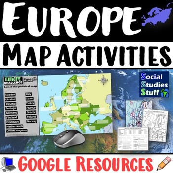
Geography of Europe Map Practice Activities | Print and Digital | Google
End the cycle of bored students copying from books to label maps! Your classes think critically with these digital, interactive, geography activities. First, students answer questions about Europe by analyzing various physical & political maps of the region. Then, a drag & drop challenge assesses their learning of the locations. This resource also includes a printable worksheet that takes labeling maps to the next level! They create a map using only absolute & relative location clues
Subjects:
Grades:
5th - 12th
CCSS:
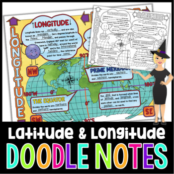
Latitude and Longitude Doodle Notes | Science Doodle Notes
This science graphic organizer will aid students in identifying and defining latitude, longitude, the Equator, Prime Meridian, meridians, parallels, and how this information is used on maps. This fun, NO PREP activity will have your students mastering content quicker, easier, and asking for more!What are doodle notes?Doodle notes are a visual aid that will increase student concept retention, focus, creativity, and engagement. Students will gain experience in synthesizing information and creating
Subjects:
Grades:
5th - 7th
Also included in: Science Doodle Notes Growing Bundle
Cultural Diffusion and Globalization 5-E Lesson | McDonalds in India | Google
This student-favorite lesson explores cultural diffusion and its effects on our world. The activities are engaging for students & the guided, 5-E format is easy for you to use! Begin with a fun “Name It” warm-up activity. Explore how culture is shared and adapted globally, then introduce key vocabulary. Fill-in notes accompany the lesson. A photo analysis activity challenges your class to compare McDonalds in India to the United States. Finally, a reading comprehension activity investigates
Grades:
6th - 12th
The Oregon Trail Activity and Lesson Pioneer Life Westward Expansion Worksheets
Your students will love learning about the Oregon Trail with this fun interactive packet. The hands-on activities, including a mini book, packing the wagon simulation, map, bulletin board, and more, will help your students learn and understand the history of the Oregon Trail!Click the PREVIEW to see everything included in this resource!Click here and SAVE 20% by buying ALL 15 Social Studies Interactive Notebooks and Mini Units in one Year-Long Bundle.This resource includes both a printable vers
Grades:
3rd - 6th
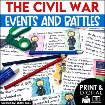
Civil War Battles and Events Project Timeline and Bulletin Board
Your students will be fully engaged in learning about the Civil War battles and events with this interactive packet. The hands-on activities, including foldables, timeline, and bulletin board, of this resource will help your students learn and understand the events of the Civil War.Please click the PREVIEW button above to get a closer look at everything included! Click here and SAVE 20% by buying ALL 15 Social Studies Interactive Notebooks and Mini Units in one Year-Long Bundle.This resource in
Grades:
5th - 8th
Google Earth US Physical Geography Lesson Set, Scavenger Hunt l Google Classroom
Google Earth US Physical Geography Lesson Set, Exploration & Scavenger HuntStart the year in US history unit with a fun, student-centered, inquiry-based Google Geography Exploration and Scavenger Hunt! This comprehensive Google United States Geography lesson has been both student and teacher-approved with an overwhelming thumbs-up! It embodies all of the cool geography capabilities of Google Maps and Google Earth in a digital US geography interactive notebook format complete with a Google F
Subjects:
Grades:
4th - 10th
Types:
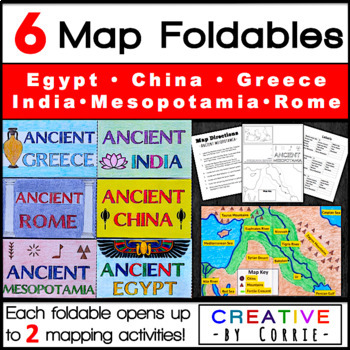
6 Maps for Ancient Civilizations: Mesopotamia, Egypt, Greece, Rome, India, China
Spice up your Ancient Civilization geography lessons (Egypt, Rome, Mesopotamia, India, China, & Greece) with these fun, innovative map foldables! Students love that these foldables are small enough to fit in their pockets or interactive notebooks when folded, yet open to a wealth of information. Each one opens up to 2 sections. In the first section, students will circle the location of the ancient civilization on a world map and write 2 facts about the civilization’s location. In the seco
Subjects:
Grades:
4th - 8th
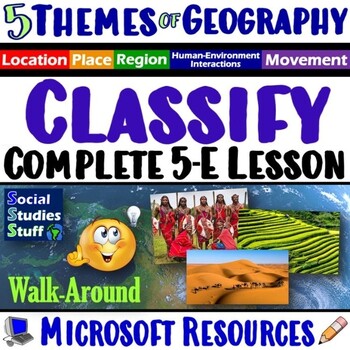
Classify the Five Themes of Geography 5E Lesson | 5 Theme WalkAround | Microsoft
This lesson challenges students to identify, classify & explain the 5 themes of geography using real-world examples. The activities are engaging for students & the guided, 5-E format is easy for you to use! Begin with a fun “Picture It” warm-up activity. Then, introduce each of the five themes & practice applying the concepts. Fill-in notes & practice activities accompany the lesson. A “GSI: Geography Scene Investigation” challenges students to classify 16 colorful images by them
Subjects:
Grades:
4th - 10th
Types:
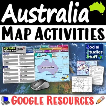
Geography of Oceania Map Practice Activities | Australia Region | Google
End the cycle of bored students copying from books to label maps! Your classes think critically with these digital, interactive, geography activities. First, students answer questions about Australia & Oceania by analyzing various physical & political maps of the region. Then, a drag & drop challenge assesses their learning of the locations. This resource also includes a printable worksheet that takes labeling maps to the next level! They create a map using only absolute & relati
Subjects:
Grades:
5th - 12th
CCSS:
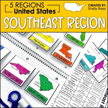
5 Regions of the United States | Southeast Region Activities | US Regions
Your students will enjoy learning about the Southeast Region with this interactive packet. The hands-on approach to learning includes high-interest interactive notebook foldables, map booklet, memory match game, bulletin board, and unit test! Students will master the 5 regions of the United States in no time at all with this helpful resource!Click HERE to SAVE 20% with the complete U.S. Regions Resource Bundle.Please take a look at the preview for a better understanding of the contents of this p
Grades:
3rd - 6th
Also included in: Regions of the United States Worksheets Maps & Activities 5 US Regions
Showing 1-24 of 2,094 results


