🎉 Teacher Appreciation: Save up to 25% using promo code THANKYOU24. Sale ends in 9 hrs 59 min. Learn more
72,000+ results
Middle school geography resources
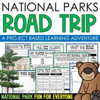
National Parks Research Road Trip PBL Project Based Learning Writing Math
Do you love our National Parks and want to find a way to integrate reading, writing, math, critical thinking, and problem-solving skills in a fun, real-life context into your lessons? Consider using project-based learning in your classroom! In this PBL unit, students can plan a road trip to the national parks with their families, while also creating a realistic budget for their vacation.One of the benefits of this project-based learning unit is that it allows for student choice and personalizati
Subjects:
Grades:
3rd - 6th
Types:
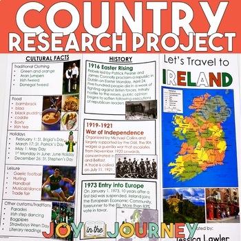
Country Research Project (Print & Digital)
Send your students on a world-wide tour with this print-and-go Country Research Travel Brochure Project! This fun and engaging project includes everything you need to assign the travel brochure, stay organized, guide the students in their research, and assess the final projectDownload includes:Brochure Sample Country Research Project Instructions“My Country Choices” – 4 per page (give one to each student)Student Country Choices Tracking SheetTravel Brochure Layout DirectionsResearch Log Student
Grades:
4th - 6th
Types:
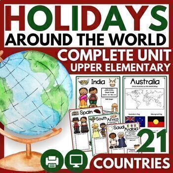
Christmas and Holidays Around the World Upper Elementary Passages, Map Skills
THE MOST COMPREHENSIVE HOLIDAYS AROUND THE WORLD UNIT WITH 21 CELEBRATIONS! ⭐ "Very engaging for my 3rd-5th graders, and perfect for the weeks leading up to Christmas break. There are so many resources here that I didn't even get to use all of them in class, but it was great because I could pick and choose what would be most meaningful for my students. I loved the research pages for students to do their own research on a country, and my students had a lot of fun with that!"⭐ 2023 BONUS: 5 HOLIDA
Grades:
3rd - 6th
Types:
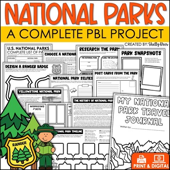
National Parks Research Activities End of Year Project Includes Yellowstone
This Visit a National Park research project will have your students so engaged, they won't want the activity to end! In this unit, students have the opportunity to plan a trip to a National Park, create a road map, write a research article, and so much more! What better way to have students use real-life math, reading, and writing skills than with this fun U.S. National Parks Activity? Now includes nonfiction reading passages and other bonus reading activities!Click HERE to SAVE 25% with the PB
Grades:
3rd - 6th
Types:
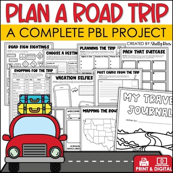
Plan a Road Trip Activities Real World Math Project Travel Brochure Vacation
This real world writing and math Plan a Road Trip project will have your students so engaged, they won't want the activity to end! In this unit, students the have opportunity to plan a trip and persuade others to visit their chosen destination! Now includes a bonus vacation journal and road trip activities!Click HERE to SAVE 25% with the PBL Activities Bundle for the Year!Click the PREVIEW above to see everything included.All of the hard work is done for you. Simply print the NO PREP pages, and
Subjects:
Grades:
3rd - 6th
Types:
Trip to Mexico Power Point and Activities Pack | Cinco De Mayo Activities
Have a great time learning about Mexico with this fun Power Point and Activities Pack. Both PowerPoint and Google Slides versions are included. It's the perfect activity during Cinco De Mayo, the last week of school, or for some Friday fun! Your class will be introduced to the geography, language, culture, and food in Mexico. The PowerPoint is packed with colorful, real photos. And a variety of activities are included to help your students reflect on what they've learned. Be sure to read the tip
Subjects:
Grades:
K - 6th
Regions of the United States: 5 Units Print and Digital Bundle Distance Learning
Your students will learn about the Northeast, Southeast, Midwest, Southwest, and West regions of the United States with this bundle of five units.This bundle includes both printable and digital options. If you would like a printable, paper-based unit, check out my Five Regions Unit Bundle, or you can get the digital options only.Each region includes a 6-page informational text packet that can be used as a "textbook chapter" when teaching about the region. While reading the complex text, your stu
Subjects:
Grades:
3rd - 6th
Types:
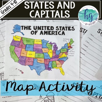
50 States and Capitals Map Activity (Print and Digital)
Do your students need to know the state capitals and the location of each state on a map? This engaging map set for the 50 states and their capitals will guide your students through labeling a blank map and learning the capitals. Print and digital options plus access to online self-checking map and flashcards let you easily customize the lesson to best fit the needs of your students. Students will label a blank map of the United States with the names of the 50 states and then record the capital
Subjects:
Grades:
4th - 10th
Types:
Also included in: American History Map Activities Bundle for U.S. History Units & Lessons
Dream Vacation End of Year Project
Planning a vacation has never been so fun! In this cross-curricular project, students will plan, budget, and journal about their "dream vacation". They will pull skills from math, language arts, and social studies and work with their group members to complete the project.This is a great resource for distance learning and includes an update in which students plan their "dream vacation" for just them (not a small group). In the resource, you will find a 23-page packet to guide students while pla
Subjects:
Grades:
3rd - 6th
Types:
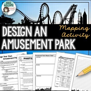
Map Skills - Design Your Own Amusement Park
Review the basics of mapping with this fun and engaging activity! Using map skills learned in class, students must design a map of their own amusement park and include mapping elements such as scale, a legend, symbols, and more! They must also write about and explain their "best" or most amazing ride. This activity has always been one of my students' favorite projects! It's a fun and unique way to wrap up a mapping unit or a fun project for social studies!I encourage the students to pick a them
Subjects:
Grades:
6th - 9th
Types:
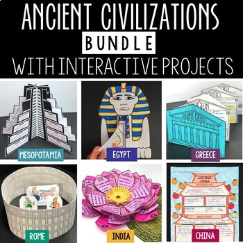
Ancient Civilizations Lessons, Activities, and Projects - Ancient History
This Ancient Civilizations Bundle includes 6 resources for teaching Mesopotamia, Ancient Egypt, Ancient China, Ancient India, Ancient Greece and Ancient Rome. Each resource includes learning activities to help students learn about each civilization’s geography, religion, achievements, politics, economy, and society. Designed to be engaging and interactive, these resources will make learning fun and exciting! Here’s a quick overview of each of the Ancient Civilization Resources: Ancient Mesopotam
Grades:
4th - 7th
Types:
CCSS:
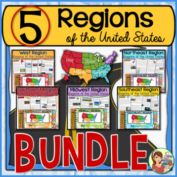
5 Regions of the United States BUNDLE (Print and Digital)
This resource contains five complete units on the U.S. regions. It includes instructional PowerPoints, guided notes, informational text packets, worksheets, 50 state informational posters, quizzes, and student created tabbed booklet activity. Read below for more information.UPDATE: This bundled resource now includes GOOGLE SLIDES versions for the student worksheets, booklets and the PowerPoint presentations.★ SAVE EVEN MORE! Get ALL of my regions resources in this EVEN BIGGER BUNDLE! ★5 Regio
Grades:
4th - 6th
Types:
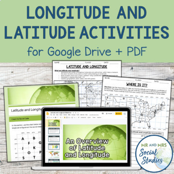
Latitude and Longitude Fun Activities and Practice Worksheet | Google Slideshow
If you are looking for a creative and no-prep resource to teach about latitude and longitude, look no further! This printable and digital activity includes an editable Google Slideshow to teach your students about latitude and longitude, and three different practice activities, giving your students the chance to decode secret messages, figure out mystery locations on a world map, and determine the coordinates of various US states.This resource goes beyond traditional longitude and latitude works
Grades:
5th - 8th
Types:
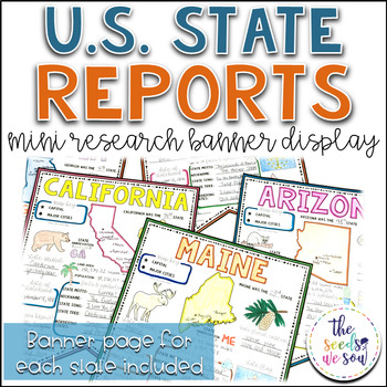
State Report Research and Banner Display Project
If you're looking for an alternative way for your students to research and report on states in the U.S., then look no further. These research banners are not only engaging and educational, they are also visually appealing and provide a great classroom/hallway display.This set includes:● 50 visually appealing state banners● 50 state banners with writing lines (and state flag)● 50 blank state banners for student creativity● Teacher lesson plan page (includes research web sites)● Student recording
Grades:
5th - 8th
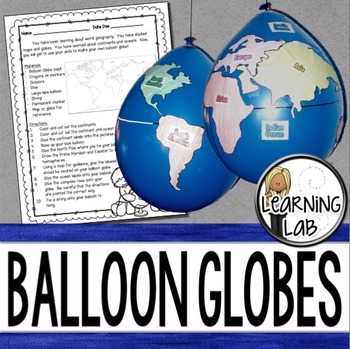
Geography - Balloon Globes - World Maps
World Geography can be boring for students but you can make it FUN! Your kiddos will LOVE creating their own globe using a balloon and cut-outs.This set includes: Student materials list and directions, detailed continent shapes, more broad continent shapes (easier cutting), compass graphic, continent labels, ocean labels, North Pole labels, reference map of the world. Balloon Suggestion (affiliate link): 12"latex balloons (100 count), Royal BlueDon't want to use a balloon? Some teachers hav
Subjects:
Grades:
3rd - 6th
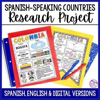
Spanish Speaking Countries Project Research a Country with Google Slides Digital
This Spanish-Speaking country project is an organized and efficient way for students to research Spanish-speaking countries. The templates are in both English and Spanish and can be completed digitally or handwritten. Includes digital templates for PowerPoint and Google Slides.*can easily be adapted for other languages, geography, or social studies classesThis project to create an infographic for a country includes:-Templates in 3 different designs-English templates-Spanish templates-Completed
Subjects:
Grades:
6th - 12th
Types:
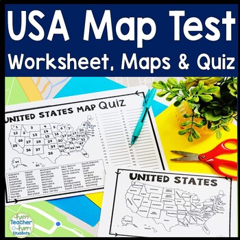
United States Map Quiz & Worksheet, USA Map Test w/ Practice Sheet, US Map Quiz
United States Map Test: Easy-to-read US Map Quiz and Practice Sheet will help students learn to correctly identify and locate all 50 states. This product also includes a labeled USA Map in full & half-page design and blank USA map for practice. Learning how to correctly identify all 50 states on a map of the United States is a critical skill for students of all ages.US Map Quiz (US Map Test) is ready to print-and-go to test knowledge of the USA Map and 50 states. This map of the United State
Grades:
2nd - 8th
Types:
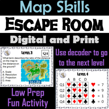
Map Skills Activity Escape Room (Geography Unit: Latitude & Longitude, Map Types
This breakout escape room is a fun way for students to test their skills with maps.Important: (How to Make Completely Digital)This product normally requires the printing of the questions to accompany a digital form for students to input answers. But if you follow a couple simple steps, this can be made entirely digital! Just use the following tool:https://smallpdf.com/split-pdf(choose "extract pages")to extract the pages containing the questions into its own PDF. You can then upload that PDF t
Grades:
4th - 8th
Types:
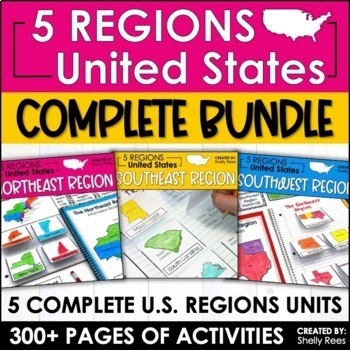
Regions of the United States Worksheets Maps & Activities 5 US Regions
Your students will love learning about the 5 Regions of the United States with this complete bundle. The hands-on approach to learning includes high-interest interactive notebook foldables, map booklet, memory match game, bulletin board, and unit test! Students will master the US Regions in no time at all with this helpful resource!By buying this bundle, you are saving 20% off the total price of the 5 individual packets!Please take a look at the PREVIEW to get a better idea of everything include
Grades:
3rd - 6th
Types:
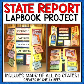
State Report | A State Research Project for ANY U.S. State! | 50 States
Your students will love researching and learning about ANY state with this lap book project! Everything you need to easily set up and implement a fun, hands on state research project in your classroom is included.
This packet includes separate map pages of ALL 50 states, so that you can either assign all students to research the same state (usually the one you reside in) or assign students to each create a lap book for a different state. The finished projects make a wonderful display!
If yo
Grades:
3rd - 6th
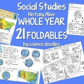
Doodle Foldables -Social Studies WHOLE YEAR 21 Interactive Notebook BUNDLE
Whole Year BUNDLE SET with 21 doodle foldables!I sell each of these doodle folds of the chapters separately for $2 (and give one away for free) so this bundle would cost $40 but it's bundled here for HUGE savings at $19.60.NEW and UPDATED! I added color to all the files and also powerpoints to show the keys. All content is aligned to the History Alive Social Studies (America's Past) book.One foldable for each chapter.Save yourself tons of time and use this to streamline how to get social studies
Grades:
4th - 6th
Types:
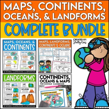
Maps, Continents and Oceans, Landforms, and Map Skills Bundle
This Social Studies bundle includes the best-selling Maps, Continents, and Landforms Interactive Notebook, along the coordinating word wall posters! Students and teachers love the ease of the hands-on printables, worksheets, and digital activities of this complete bundle!By purchasing this bundle, you are saving 20% off the full value of the individual resources.This helpful, easy to use bundle includes:Maps, Continents, Landforms, and Map Skills Interactive Notebook Continents, Oceans, and Maps
Subjects:
Grades:
3rd - 6th
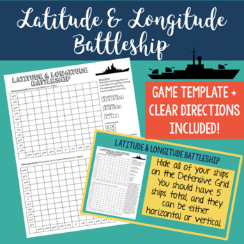
Latitude and Longitude Battleship Game
Help your students practice their latitude and longitude skills in a fun and engaging way using this no-prep latitude and longitude battleship game! The directions are included right on the template, so this is a no prep activity that comes ready to play. I've also provided PowerPoint directions so you can show students how to play as a class. Students will become well-practiced with using a grid and making sure they always give latitude coordinates first. I've used this every year and my studen
Grades:
4th - 8th
Types:
Also included in: Latitude and Longitude Practice Puzzle Review Activities Bundle
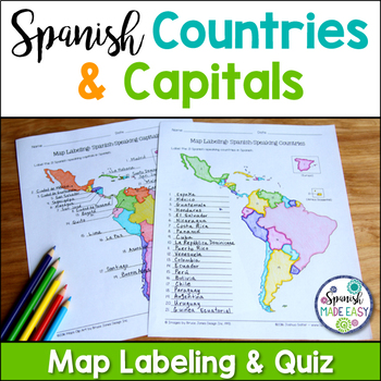
Spanish-Speaking Countries and Capitals Maps and Quiz
This is a map labeling activity and matching quiz over the 21 Spanish-speaking countries and capitals. Students will label and identify the 21 Spanish-speaking countries and capitals in Spanish. This is a great activity when reviewing Spanish-speaking countries and capitals or Spanish geography. Makes a great coloring page. Answer keys are included.
Countries included:
España, México, Costa Rica, El Salvador, Guatemala, Honduras, Nicaragua, Panamá, Cuba, La República Dominicana, Puerto Rico, Ar
Subjects:
Grades:
6th - 12th
Also included in: Spanish Countries and Capitals Geography Bundle
Showing 1-24 of 72,000+ results

