19 results
Middle school geography interactive notebooks for Easel
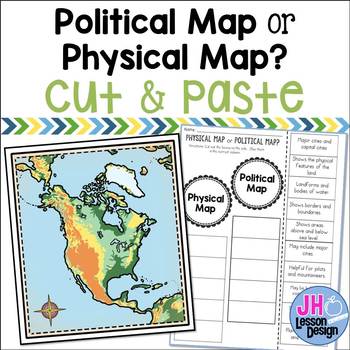
Physical Maps and Political Maps: Cut and Paste: Distance Learning Compatible
Physical map or political map? This is a fun and engaging way to practice determining the difference between physical and political maps! Students will read a statement and decide if it is describing a physical or political map, then glue the box in the correct column. An answer key is included.This is part of a BUNDLE
Grades:
3rd - 6th
Also included in: Physical and Political Maps BUNDLE
Roman Geography Digital Task Cards
These digital task cards are the perfect way to kickstart your Ancient Rome unit! In this activity, students will tackle five different tasks to explore the geography of Italy and the Ancient Romans. With venn diagrams, maps, and drag-and-drop features, the Roman Geography Digital Task Cards will engage your students and encourage them to think critically about the impact of geography on the lives of the Romans.This lesson includes:- Teacher lesson plan- Link to Google Slides- Five task card act
Grades:
6th - 10th
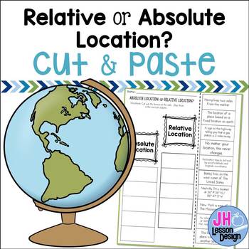
Absolute and Relative Location: Cut and Paste Sorting Activity
Relative or absolute location? This is a fun and engaging way to practice determining the difference between relative location and absolute location! Students will read a statement and decide if it is describing a relative or absolute location, then glue the box in the correct column. An answer key is included.
This is part of a BUNDLE
Grades:
3rd - 6th
Also included in: Absolute and Relative Location BUNDLE
Interactive Notebook - Geography Unit - Social Studies - With Reading Passages!
Interactive social studies notebooks are wonderful, and fun, ways to introduce your students to geography!I've been using notebooks in Social Studies for several years now, and I love it! My units involve a lot of reading, and even includes mini-books and reading passages! These mini-books have foldables and other activities that focus on reading skills, such as summarizing, looking for main idea and details, highlighting important information, taking notes, etc. My students have loved watching
Grades:
3rd - 7th
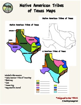
Native Tribes of Texas Maps
Colorful Map of the Native Tribes of Texas. Use with Texas History Unit 2; Natural Texas and Its People. Includes colored and labeled map as well as blank maps for student learning. One version for students to label and color and one version that is already colored for students to label. Can also be used as a quiz. Answer key included. Perfect for Interactive Notebooks. Aligned with the TEKS. Additional resources:Tribes of Texas Task CardsNative Tribes of Texas QuizTexas Regions Maps Follow me
Grades:
4th - 7th

Wisconsin Land Regions Activity Pack
Are you looking for a fun and interactive way to teach your students about Wisconsin's geography? Look no further than this pack filled with interactive activities for your class!
Wisconsin Land Regions Activity Pack is filled with interactive mapping activities that includes an article that provides details about the unique landforms and geography of each of Wisconsin's five land regions, teacher instructions, vocabulary activities, mapping skills activities, and more! The fact book included
Grades:
3rd - 6th
Also included in: Wisconsin Social Studies Series BUNDLE
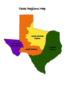
Texas History: Regions of Texas Map
This is a must have resource for teaching the regions of Texas. Great visual aid with multiple uses in your Texas History classroom.Includes:-Map that is colored and labeled-Map that is blank for students to label and/or color-Map that is colored with blanks for students to label, with answer keyMultiple Uses:-Two different worksheet options-Interactive Notebook-PosterPlease leave a review and earn TpT credits ;)
Subjects:
Grades:
4th - 7th
Also included in: Texas History: Regions of Texas Bundle
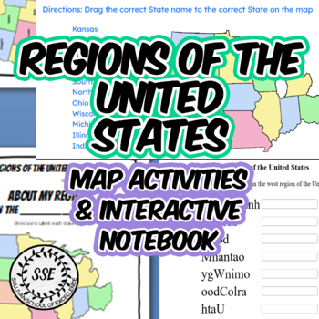
5 Regions of the United States Map Worksheets, Interactive Notebook US Geography
This resource contains maps, activity pages, interactive notebook pages and digital activities to help students identify and memorize the states in each region of the United States of America, including the Midwest, Northeast, Southeast, Southwest and West Regions. Detailed maps of the USA and each region are included which can be used for class presentation or bulletin board display. The interactive notebook pages include flaps that students will cut and fold. There are two interactive notebook
Subjects:
Grades:
4th - 6th
CCSS:
Wisconsin Land Regions Fact Book
Are you looking for a fun and interactive way to teach your students about Wisconsin's geography? Look no further than this activity!
Wisconsin Land Regions Fact Book is an interactive mapping activity that includes an article that provides details about the unique landforms and geography of each of Wisconsin's five land regions, teacher instructions, and activity pages that can be put together to form a fact book for student reference later. The fact book is small enough to be placed insid
Grades:
3rd - 6th
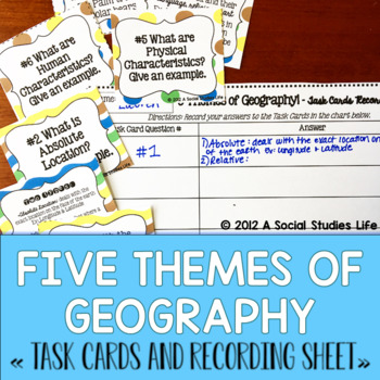
Five Themes of Geography Task Cards
Your students will love this interactive way to execute their knowledge of Five Themes of Geography vocabulary with these interactive task cards. These cards are great for stations, centers, as an independent study tool, SCOOT, STAAR review, and other cooperative learning activities.Included in this resource:• Title page• Full Set of 9 geography tasks cards in the form of a question• Answer Key Cards (you do not have to give these to students or you can after the activity)• Recording Sheet for s
Grades:
5th - 8th
Also included in: Five Themes of Geography Task Cards BUNDLE
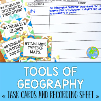
Tools of Geography Task Cards
Your students will love this interactive way to execute their knowledge of Tools of Geography vocabulary with these interactive task cards. These cards are great for stations, centers, as an independent study tool, SCOOT, STAAR review, and other cooperative learning activities.Included in this resource:• Title page• Full Set of 16 geography vocabulary tasks cards in the form of a question• Answer Key Cards (you do not have to give these to students or you can after the activity)• Recording Sheet
Grades:
5th - 8th
Also included in: Tools of Geography Task Cards BUNDLE
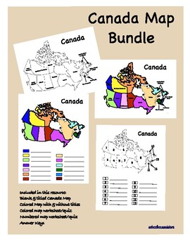
Canada Map Activity
Students will learn the provinces and territories of Canada using these colorful maps! Classroom and digital option available. Answer boxes have been added for distance learning. Blank and colored maps as well as labeled and unlabeled versions. There are many options to use these maps in the classroom. Print the color version and laminate so students can write on them with dry erase markers to practice labeling. Use as a center activity, test review, fill in the blank quiz, or interactive noteb
Grades:
6th - 9th
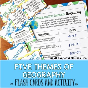
Five Themes of Geography Flash Cards and Activity
Your students will love this Five Themes of Geography flash card set. The cards are a great activity to use for review. I print out a few sets, laminate back to back and have the students use them for review before a test/exam. Or, you can have the students utilize them if they "finish early!"Included in this resource:• 5 Themes of Geography Flash Cards Cover Page• Flash Cards:◦ Location◦ Absolute Location◦ Relative Location◦ Place◦ Human Characteristics◦ Physical Characteristics◦ Human-Environm
Grades:
5th - 8th
Also included in: Geography Flash Cards BUNDLE
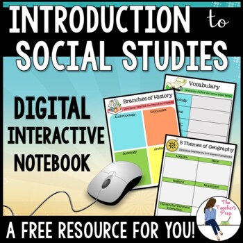
Introduction to Social Studies Digital Interactive Notebook for Google Drive
These digital interactive notebook graphic organizers will help students organize information about the study of Social Studies. They are compatible with Google Drive and TpT Easel!This FREE resource is a great way to engage your students while using the technology at their fingertips.Why should you use a Digital Interactive Product? *No cutting, gluing or paper needed! *Students work directly with their own copy of the file and their work is saved automatically on their Google Drive account *En
Grades:
5th - 8th
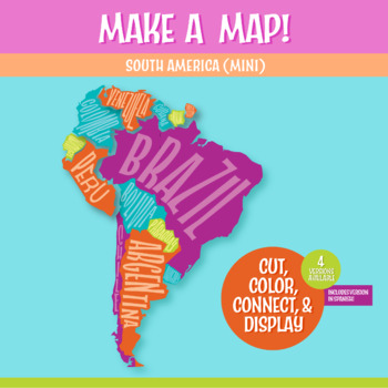
South American Map Cut and Paste the Continents | Geography Activity
A South America map that students build by cutting out the countries and assembling them on a sheet of paper! This is a fantastic method to learn the South American countries. Both English and Spanish versions are included. When finished, you'll have a gorgeous map to display, clearly showing the South America countries. Your students can research a South American country, decorate each country, assemble the South American continent, and they will be all ready for a geography quiz.The finished m
Subjects:
Grades:
5th - 8th
CCSS:
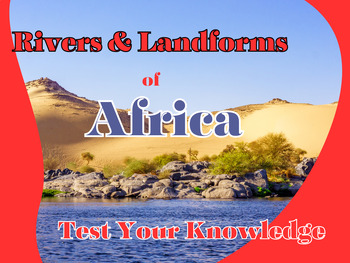
Interactive Easel Activity: Test Your Knowledge on Africa's Rivers & Landforms
Unleash your students' geographical prowess with our 'Interactive Easel Activity: Test Your Knowledge on Africa's Rivers & Landforms'. This engaging and self-checking resource is designed to test and reinforce the understanding of Africa's topography. The activity features 7 river drag-and-drop matching questions and 8 landform drag-and-drop matching questions, all based on the diverse continent of Africa. Students will not only enjoy this drag-and-drop interactive activity but also enhance
Grades:
6th - 8th
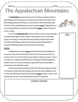
Appalachian Mountain Main Idea Reading Passage
Nonfiction informational reading passage. All about the Appalachian Mountain and its wildlife. I have it designed so I can staple it into their notebooks.
Subjects:
Grades:
3rd - 6th
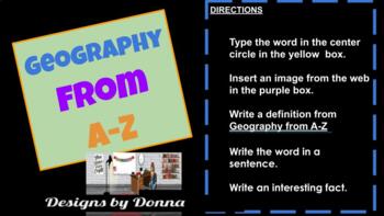
Vocabulary for Geography
Tired of those index cards falling off the metal ring? This packet contains 80 cards for students to keep their geographical vocabulary words all in one place! Add technology to your lesson plans, use it as a break-out session, collaborative work, centers, homework or as an assessment/exit ticket. The packet also includes a demonstration and directions for inserted an image. Students will be actively engaged while they create each vocabulary card. Students will do each of the following for th
Grades:
2nd - 10th
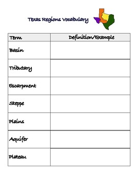
Texas Regions Vocabulary Graphic
Vocabulary graphic with terms related to the geographic features of Texas. Includes 7 vocabulary terms with space for students to write the definition and/or an example. An answer key with the definitions is also included.Perfect for use in an interactive notebook! File includes two sizes; regular 81/2 x 11 page and one sized to fit in a composition notebook.
Subjects:
Grades:
4th - 7th
Also included in: Texas History: Regions of Texas Bundle
Showing 1-19 of 19 results


