3,129 results
Middle school Back to School geography interactive notebooks
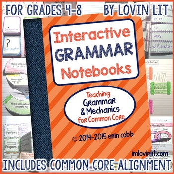
Grammar Interactive Notebook: Grammar Activities | Interactive Grammar Notebook
This grammar interactive notebook is truly interactive with templates that fold and flip for the students to interact with. This product is NOT simply pages and pages of definitions and descriptions for students to glue into their notebooks.Each of the 36 lessons in this interactive grammar notebook includes a color photo of the finished product, teacher’s notes (what to write in or on the template), complete teacher’s step-by-step lesson plan and assembly instructions, and student black lines.
Subjects:
Grades:
4th - 7th
Also included in: Interactive Notebook ELA Bundle of 5
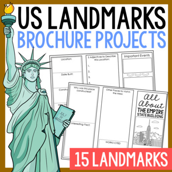
USA LANDMARKS Research Projects | United States Geography Report Activity
This bundle of (15) two-sided tri-fold research brochure templates allows students to dig deeper into facts about famous landmarks in the United States. You'll also find a BLANK template to use with ANY landmark that is not included with this resource. Makes a great addition to your American history and geography unit studies throughout the year. Keep these in your early finisher folder or your sub-folder for no-prep fun.CLICK HERE to save 30% on this resource in the American Landmarks activity
Subjects:
Grades:
3rd - 7th
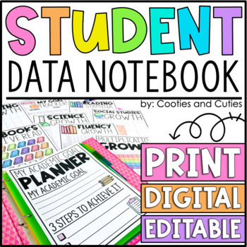
Digital Student Data Binder - Tracking Sheets - Data Notebook - Editable
Make tracking data FUN with this engaging notebook! This notebook includes over 100 pages to help your students grow, as well as digital and editable options. Quick and easy setup makes this the perfect notebook for all subjects, all year. Help your students to discover their highest potential as they take ownership of their learning. Students will learn how to set goals and track their own progress, and you’ll love the independence they develop as they become more confident and focused.STUDEN
Grades:
K - 6th
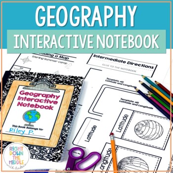
Geography and Map Skills Interactive Notebook | Print and Digital
Teaching geography and map skills doesn't have to be boring! This is a great way to teach geography and map skills. Students remain engaged through the hands-on portion of the interactive notebook. In addition to the hands-on activities, students produce a product that is useful to develop good study habits. This resource includes both the print and digital ready versions all in one. You have access to both in case you find yourself in need of one or the other throughout the school year. Templat
Grades:
3rd - 6th
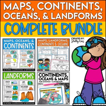
Maps, Continents and Oceans, Landforms, and Map Skills Bundle
This Social Studies bundle includes the best-selling Maps, Continents, and Landforms Interactive Notebook, along the coordinating word wall posters! Students and teachers love the ease of the hands-on printables, worksheets, and digital activities of this complete bundle!By purchasing this bundle, you are saving 20% off the full value of the individual resources.This helpful, easy to use bundle includes:Maps, Continents, Landforms, and Map Skills Interactive Notebook Continents, Oceans, and Maps
Subjects:
Grades:
3rd - 6th
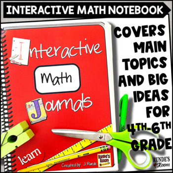
Math Interactive Notebook for Upper Elementary
Fusing the joy of learning with hands-on concrete explanations and examples, this interactive notebook promises to ignite your students' interest in math, encourages critical thinking, further develops conceptual and procedural skills, and boosts their academic performance. This interactive math notebook contains 38 different math journal activities - with each one containing an interactive hands-on aspect for the student that helps deepen understanding and gives students a concrete explanation
Subjects:
Grades:
4th - 6th
Also included in: Math Interactive Notebook Bundle Resource
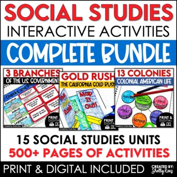
4th 5th & 6th Grade Social Studies Curriculum Activities Project Unit Bundle
Social Studies Class will be your students' favorite time of the day with this popular, engaging bundle of activities, including foldables, timelines, mini books, bulletin boards, and more! The hands-on units in this bundle will help your students learn and understand the events and concepts of American History, Government, and Geography.Click the PREVIEW button above to see everything included!By purchasing this complete bundle, you are saving 20% off the price of the individual units.ALL packe
Grades:
4th - 7th
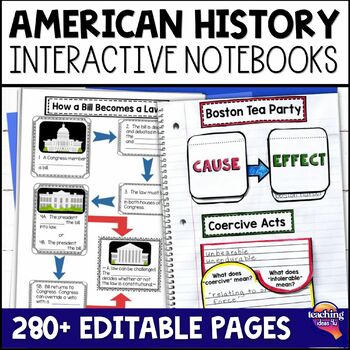
American History & U.S. Geography EDITABLE Interactive Notebook 7 Unit BUNDLE
Looking for a way to increase students' interest in United States geography, Native Americans, and American history through Westward Expansion? These interactive notebooks hook students on history - and support their reading skills! These units include interactive activities, maps, vocabulary, graphic organizers, and assessments. What’s Included in the Bundle⭐ United States Geography Interactive Notebook ⭐ Native Americans Interactive Notebook ⭐ Explorers & Exploration Interactive Notebook⭐
Subjects:
Grades:
4th - 6th
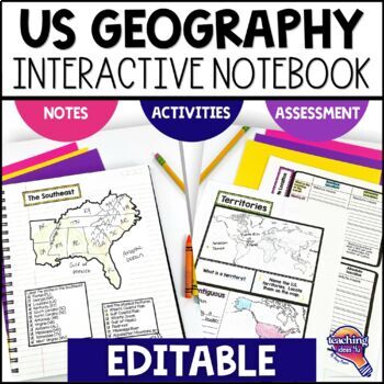
United States Geography & U.S. Regions EDITABLE Interactive Notebook & Test
Support upper elementary students’ reading skills with this U.S. Geography and its Regions Interactive Notebook. This editable unit is a complete study of United States Geography, including interactive activities, maps, vocabulary, graphic organizers, and assessment. Students will explore physical geography, such as mountains and rivers, and the regions of the United States. This interactive notebook includes activities, maps, and organizers on the following topics:United States Map Activity Vo
Grades:
4th - 6th
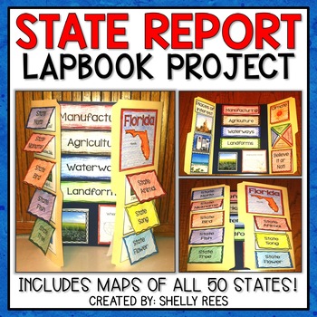
State Report | A State Research Project for ANY U.S. State! | 50 States
Your students will love researching and learning about ANY state with this lap book project! Everything you need to easily set up and implement a fun, hands on state research project in your classroom is included.
This packet includes separate map pages of ALL 50 states, so that you can either assign all students to research the same state (usually the one you reside in) or assign students to each create a lap book for a different state. The finished projects make a wonderful display!
If yo
Grades:
3rd - 6th
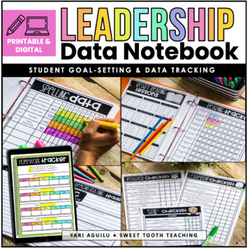
Leadership & Student Data Notebook- Printable & Digital Version | EDITABLE
Paper-Based & Digital Leadership & Data NotebookStudent leadership data notebooks are the perfect way to start goal setting with your students this year. This data binder is designed to help them set and achieve academic and personal goals. Students will reflect on previous quarters, set new quarterly goals, and track their academic progress throughout the months. Additionally, leadership notebooks are a great place for students to graph in their assessment data. This editable data noteb
Grades:
2nd - 7th
Also included in: Student Data Tracking BUNDLE | Data Binder & Data Posters for Data Wall
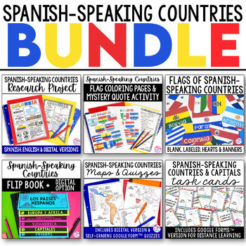
Spanish Speaking Countries BUNDLE Project Maps Flip Book Quizzes + DIGITAL
This money-saving bundle has everything you need to teach the Spanish-speaking countries, their locations, and capitals! Includes maps, quizzes, project, activities, and more! Save over 30% on this bundle of the following items:Spanish-Speaking Countries Flip BookNo cut, no waste, 6 page / 3 pieces of paper printable flip bookDigital flip book in Google Slides for paperless or distance learningWestern Europe map to label SpainWest Africa map to label Equatorial GuineaCentral America / North Am
Subjects:
Grades:
6th - 12th
7th Grade Math Word Wall & Interactive Notebook Inserts - Math Classroom Decor
Bring 7th Grade Math vocabulary to life with these easy-to-use, color-coded wall cards and interactive notebook inserts. Compatible with curricula and programs based on the Common Core Standards, including EngageNY™, Great Minds®, Eureka Math®, VA Sol, and the California Common Core. Every word wall card and INB Insert includes the vocabulary word, an illustrated example, and a concise, cross-referenced definition. Together, these resources help you stay organized and help students recognize, re
Subjects:
Grades:
7th
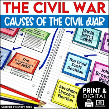
Causes of the Civil War | Civil War Map and Timeline DIGITAL and PRINTABLE
Students are fully engaged in learning about the causes of the Civil War with this interactive packet. The hands-on approach of this resource, including a timeline, foldables, map activity, bulletin board, and more, will help your students learn and understand the cause and effect relationships of events in this period of history!Click the PREVIEW above to see this resource in greater detail!Click here and SAVE 20% by buying ALL 15 Social Studies Interactive Notebooks and Mini Units in one Year
Grades:
5th - 8th
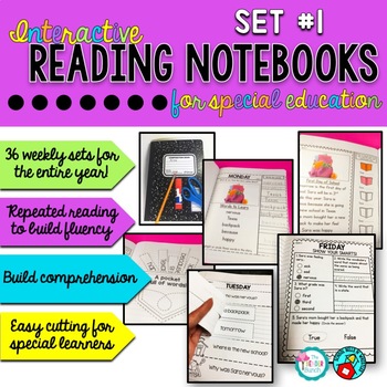
Interactive Reading Notebook / Special Education #1
FINALLY! An Interactive Notebook Reading Program designed just for SPED!This is a 36-week reading interactive notebook program designed for special education classrooms for the ENTIRE year. A new story is provided each week with daily activities that correspond with each story throughout the week. Activities are included for every day of the week and are designed to be cut and pasted in a composition book. Cutting is made simple, only including straight cuts that are easy enough for struggling c
Subjects:
Grades:
1st - 6th
Also included in: Custom Bundle for Jennifer
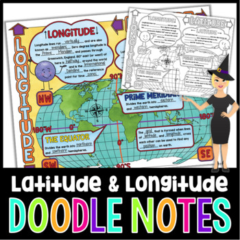
Latitude and Longitude Doodle Notes | Science Doodle Notes
This science graphic organizer will aid students in identifying and defining latitude, longitude, the Equator, Prime Meridian, meridians, parallels, and how this information is used on maps. This fun, NO PREP activity will have your students mastering content quicker, easier, and asking for more!What are doodle notes?Doodle notes are a visual aid that will increase student concept retention, focus, creativity, and engagement. Students will gain experience in synthesizing information and creating
Subjects:
Grades:
5th - 7th
Also included in: Science Doodle Notes Growing Bundle
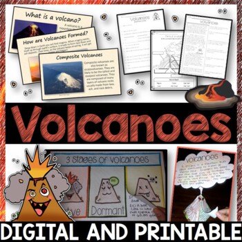
Volcanoes Complete Pack - Printables, Editable PowerPoint, Interactive Notebooks
This Volcano Unit is exploding with a variety of printables, Diagrams, Interactive notebooks, and a 100% editable PowerPoint.*Also includes digital access via Google Slides.What’s included in the pack: (Answer keys are included.) • PowerPoint Review Sheet• Volcanoes Reading Comprehension• Label the parts of a volcano • Volcano Labeled Diagram • 3 Stages of a Volcano Poster (8.5” x 11”) – Active, Dormant, and Extinct• Cinder Cone, Composite, and Shield Volcanoes Posters (1 of each)• Types of Volc
Subjects:
Grades:
3rd - 6th
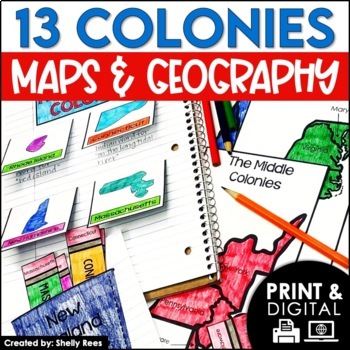
13 Colonies Map and Activities | Colonial America Unit | DIGITAL & PRINTABLE
Your students will love learning about the 13 Colonies maps and geography with this interactive packet. These hands-on activities, like maps, foldables, bulletin board, and more, will help your students learn and understand the geography and regions of Colonial America!Click the PREVIEW above to see everything included in this resource!Click here and SAVE 20% by buying ALL 15 Social Studies Interactive Notebooks and Mini Units in one Year-Long Bundle.This resource includes both a printable vers
Grades:
3rd - 6th
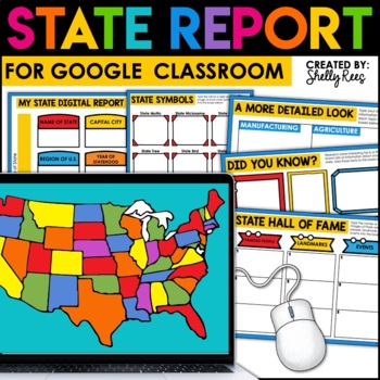
State Research Project | State Report for Google Classroom | 50 States Project
Your students will love completing a state research report with this easy-to-follow digital U.S. State Report Project! Students can research any state and use the provided slides to complete their report. A great option is to print the reports when students are finished to create an eye-catching display for your classroom!Click the PREVIEW button above for a closer look at everything included!This engaging Digital State Report Packet includes:State Research Resource Guide (a list of student-frie
Grades:
3rd - 6th
Setting Up Your Science Interactive Notebook | 3rd 4th Grade 5th Grade 6th
Setting up science interactive notebooks for the new year? This resource will help you start the year with fresh, organized notebooks!Teacher Information IncludedNotebook Set-up DayBest PracticesMaterials ManagementQuality WorkStudent Output Printables IncludedCover Page OptionsRubricOutput IdeasBig Money Word$Sentence StemsAll in One Notebook BundleWant all the templates you need for your lessons? Get the All in One Science Notebook Bundle!___________________________________________________Teac
Subjects:
Grades:
3rd - 6th
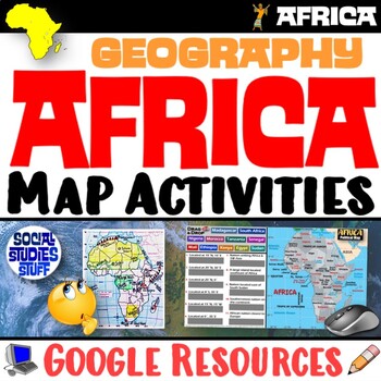
Geography of Africa Map Practice Activities | Print and Digital | Google
End the cycle of bored students copying from books to label maps! Your classes think critically with these digital, interactive, geography activities. First, students answer questions about Africa by analyzing various physical & political maps of the region. Then, a drag & drop challenge assesses their learning of the locations. This resource also includes a printable worksheet that takes labeling maps to the next level! They create a map using only absolute & relative location clues
Subjects:
Grades:
5th - 12th
CCSS:
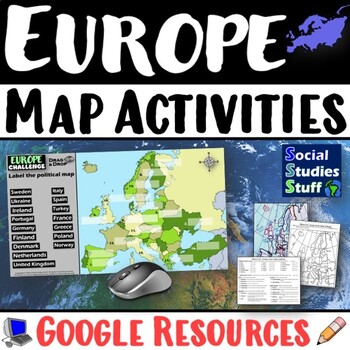
Geography of Europe Map Practice Activities | Print and Digital | Google
End the cycle of bored students copying from books to label maps! Your classes think critically with these digital, interactive, geography activities. First, students answer questions about Europe by analyzing various physical & political maps of the region. Then, a drag & drop challenge assesses their learning of the locations. This resource also includes a printable worksheet that takes labeling maps to the next level! They create a map using only absolute & relative location clues
Subjects:
Grades:
5th - 12th
CCSS:
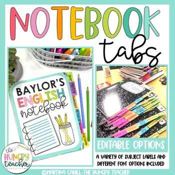
Notebook Tabs to Glue into Notebooks for Student Organization for Back to School
Organizing your middle school ELA student's notebooks by subjects or units is now a breeze with these done-for-you and editable notebook tabs or notebook labels. This set includes 45 print-and-go notebook tabs for you and your students to use at the beginning of the year or as you start a new unit. Help your students organize their notebooks from the start by printing labels for them to glue into their notebooks. Here's what you'll get:15 done-for-you subject labels in six different variations4
Subjects:
Grades:
5th - 8th
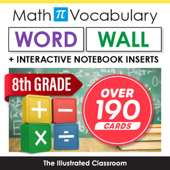
8th Grade Math Vocabulary Word Wall, Focus Wall, Bulletin Board, Classroom Decor
Bring 8th Grade Math vocabulary to life with these easy-to-use, color-coded wall cards and interactive notebook inserts. Compatible with curricula and programs based on the Common Core Standards and Next Generation Standards, including EngageNY™, Great Minds®, Eureka Math®, VA Sol, and the California Common Core. Every word wall card and INB Insert includes the vocabulary word, an illustrated example, and a concise, cross-referenced definition. Together, these resources help you stay organized a
Subjects:
Grades:
8th
Showing 1-24 of 3,129 results


