137 results
Free middle school geography interactive notebooks
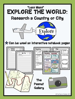
FREE "Less Mess" Explore the World: Research a Country or City
These pages can be used as interactive notebook pages or simply as stand-alone, ready to use student activity pages to make research of a country or city a bit more fun!
My “Less Mess” Interactive Notebook Activities allow for two simple steps: cut around the border and glue it in. That’s it! They are perfect for teachers who may have their students for just one short period per day. However, if you are a big fan of the “folds and flaps” that usually come with interactive notebooks, this resour
Subjects:
Grades:
4th - 7th
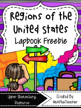
Regions of the USA Lapbook {Freebie}
This resource contains all the pages needed to make a Regions of the United States lapbook. These notes can be used with any textbook, article, or video. This product can also be used as interactive notebook pages for your Social Studies Interactive Notebooks. All interactive note pages can be used in a notebook or lapbook giving you ultimate teacher flexibility!
Topic include:
- Maps of United States Regions & Northeast
- Landforms Flapbook
- Waterways Flapbook
- Climate Flipbooks
- To
Subjects:
Grades:
3rd - 6th
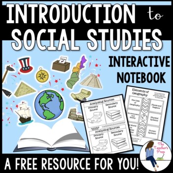
Introduction to Social Studies Interactive Notebook Graphic Organizers FREEBIE
These interactive notebook graphic organizers will help students organize information about their unit on the introduction to Social Studies!Interactive notebooks are an effective tool in the classroom. Not only can they assist students in keeping their work organized, but they are also an easy-to-access resource for reference throughout the year. The Introduction to Social Studies Interactive Notebook Graphic Organizers resource is intended as a resource for late-elementary and middle school ag
Grades:
5th - 8th
CCSS:
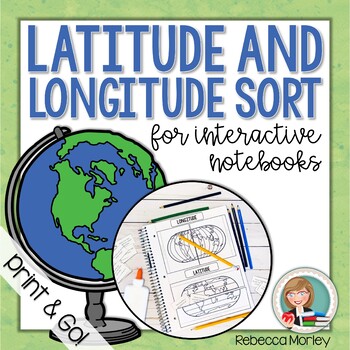
Latitude and Longitude Interactive Notebook Activity
Help your students master the tricky concepts of latitude and longitude with this print and go activity! These pieces - perfect for interactive notebooks or lapbooks - are sure to engage your students.© 2020 Rebecca Morley: Edventures at Home Resources. All Rights Reserved.You Might Also Like:Latitude and Longitude Worksheet ActivitiesLatitude and Longitude Boom CardsLooking For an Even BETTER Deal?!Leave feedback to earn valuable TPT credits for use on future purchases!Learn about sales and new
Grades:
4th - 6th
Also included in: Latitude and Longitude Worksheet and Activity Bundle

Maps and Globes Interactive Notebook Unit Geography FREEBIE Grades 6, 7, 8
Maps & Globes Interactive Notebook Freebie
This is a four piece maps and globes interactive notebook with assessments for middle school. This geography freebie includes:
- Types of Maps
- Parts of a Map
- Maps vs. Globes
- Hemispheres
If you like this resource, check out the What is Social Studies? Geography, Economics, & Citizenship Interactive Notebook Unit .
If you need more world history units, please follow my store for product updates!
Early People & Mesopotamia Interac
Grades:
5th - 7th
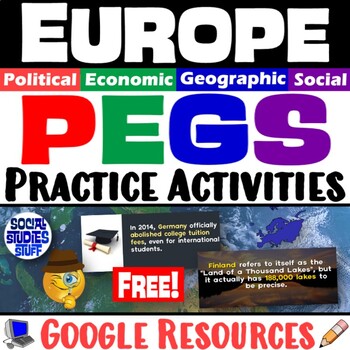
Europe PEGS Factors Practice Activity and Worksheet | Social Studies | Google
Examine Europe by looking at its PEGS factors (Political, Economic, Geographic, Social). Challenge students to classify & analyze facts about the continent by completing a fun, practice activity.Social Studies curriculum changes focus, sometimes drastically, from year to year. The PEGS factors are common themes that unite all SS classes. Similar ideas are taught as PESTLE, STEEP, or PEST. Building a strong foundation with these concepts leads to vertical alignment across grade levels. Use PE
Grades:
5th - 12th
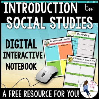
Introduction to Social Studies Digital Interactive Notebook for Google Drive
These digital interactive notebook graphic organizers will help students organize information about the study of Social Studies. They are compatible with Google Drive and TpT Easel!This FREE resource is a great way to engage your students while using the technology at their fingertips.Why should you use a Digital Interactive Product? *No cutting, gluing or paper needed! *Students work directly with their own copy of the file and their work is saved automatically on their Google Drive account *En
Grades:
5th - 8th
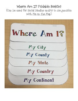
Where Am I? Printable Booklet / Foldable for Social Studies
This printable can be used along or glued into an interactive notebook. It is great used for Social Studies to teach geography.
Pages include:
-My City
-My County
-My State
-My Country
-My Continent
It is great used with the book Me on the Map.
Subjects:
Grades:
K - 8th
Country Report Research Template
Country research report project template!
This template is everything you need in one sheet for a complete country report. The template will work with any country. Students are encouraged to find information and make reporting decisions. I
The report template includes:
✔ Identify country on a world map
✔ Draw and Color the country flag
✔ 3 Large, fact reporting blocks.
✔ Lined spaces for students to use
✔ Geographic Features blocks. Students can write, draw and describe in one location.
✔ Foo
Grades:
3rd - 8th
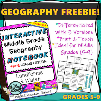
Interactive Notebook Geography Lesson FREEBIE ~ Landforms & Waterways
This FREEBIE includes a complete Interactive Middle Grade Geography Notebook Lesson on Landforms & Water. Concepts include Canal, Delta, Gulf, Island, Isthmus, Lake, Peninsula, River, Waterfall.
It is a bonus lesson that is not included in my other notebook products, so be sure to download this if you own those as well.
This lesson includes a differentiated activity and answer key and is aligned to CCSS standards for grades 5-9.
If you are considering one of my other notebook products, t
Grades:
5th - 9th
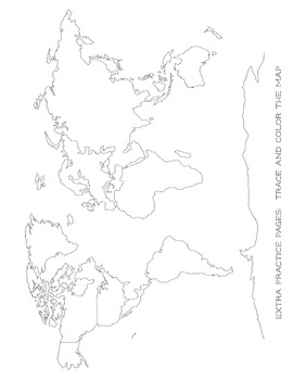
Map Tracing - Blob Mapping - Blank World Map - For All Ages
This is a great printable for your child to learn how to draw the map of the world. I have my kids trace the continents and then try and redraw it or trace over another paper. Eventually, the goal is to have them draw a map of the world by memory.
Perfect for all ages!
This is a great addition for your Classical Conversations notebook!
Check out my other freebies and other CC notebooks!
Subjects:
Grades:
PreK - 6th
Also included in: CC Cycle 2 Full Notebook All Subjects Discounted Bundle
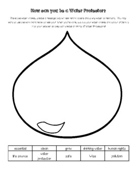
World Water Day: Be a Water Protector
World Water Day is on March 22nd every year. I created this resource to help students think about the way they use water. This resource pairs exceptionally well with the following books: We are Water Protectors by Carole Lindstrom, published by Roaring Brook Press. Winner of the 2021 Caldecott Medal. The Water Walker by Joanne Robertson, published by Second Story Press.Nibi’s Water Song by Sunshine Tenasco and Chief Lady Bird. Published1 by Scholastic Canada Ltd. Additionally this resource fits
Subjects:
Grades:
1st - 6th
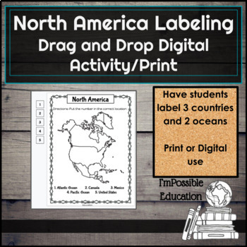
FREE North America Map Labeling Drag and Drop or Print (Distance Learning)
Have students label the 3 countries and 2 oceans of North America digitally with drag and drop numbers on the side or print and have students write them in. Answer key included.This is made using GoogleSlidesTM and with purchase you will receive a folder with two documents. One has just the map slides to easily share with students digitally (I use Google ClassroomTM). The other slide is printable version and answer key. To make things easier for students (and you!), slides are made so only t
Subjects:
Grades:
3rd - 9th
Also included in: Americas Map Labeling Drag and Drop or Print (Distance Learning)
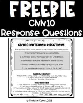
FREE CNN10 Written Response Questions
FREE CNN 10 Response Questions
This is a FREEBIE that students can cut out the directions and tape or glue to the inside of their notebooks. I have students have a notebook specifically for CNN10 response questions. I have students pick what questions they get to respond to but give them hints as to what stories are lengthy or what kind of stories they will hear about.
ENJOY.
*****************************************************************************
Please leave feedback on this produc
Subjects:
Grades:
7th - 11th
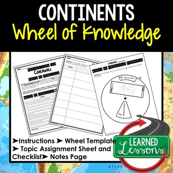
Continents Project Activity, Wheel of Knowledge Interactive Notebook
Continents Project Activity, Wheel of Knowledge (Interactive Notebook)Continents Project Activity, Wheel of Knowledge (Interactive Notebook), World Geography Wheel of Knowledge (Interactive Notebook)➤This instruction sheet and wheel template will walk your students through creating an "Wheel of Knowledge" foldable for the topic listed. This is an engaging and content rich activity. Also included in World Geography MEGA BUNDLE AND MAPPING SKILLS BUNDLE→Click Here to FOLLOW and GET Updates when
Grades:
6th - 12th
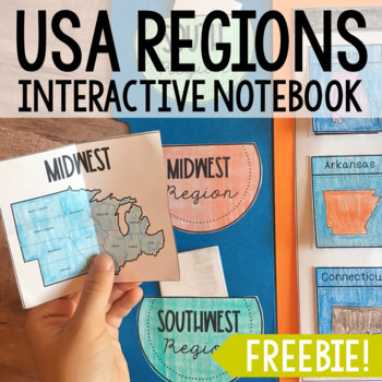
STATE REGIONS Interactive Notebook Pockets | Research Project Activity FREE
This fun little set of USA State regions pockets makes a great addition to my set of USA State Capitals Interactive Notebook Flaps! Your students will be engaged the whole time they are learning about the different regions in our nation. Perfect for group work - one group can research a region, then share with the class for additional practice on note-taking!In need of a larger state history research project?FIND YOUR STATE:ALABAMAALASKAARIZONAARKANSASCALIFORNIACOLORADOCONNECTICUTDELAWAREFLORIDA
Subjects:
Grades:
3rd - 7th
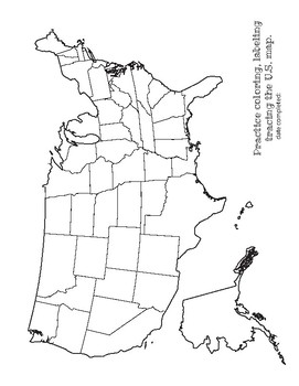
Map Tracing and Label USA - extra practice work sheet - For All Ages
This is a great printable for your child to learn how to draw the map of the USA. I have my kids trace and then try and redraw it or trace over another paper. Eventually, the goal is to have them draw a map by memory.
Great for practice with labeling! Or a great color sheet for the littles :)
Perfect for all ages!
This is a great addition for your Classical Conversations notebook!
Check out my other freebies and other CC notebooks!
Subjects:
Grades:
PreK - 6th
Also included in: CC Cycle 2 Full Notebook All Subjects Discounted Bundle
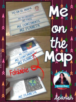
Me on the map foldable {SPANISH} -Yo en el mapa-
This foldable is a great and fun way for review geography. Includes 3 different continent option (North America, Europe and Australia)
Spanish Only!
TERMS OF USE
This product is NOT to be sold AS IS! Purchasing the item does not transfer the copyright to you. It means you cannot claim the design as your own design.
This license is non-transferable. This means you cannot transfer/ give the license to anyone else, nor can you change the item that it applies to. If you want to share it with you
Subjects:
Grades:
1st - 8th

Mapping Scavenger Hunt - Continents and Oceans
Make mapping the continents and oceans fun while increasing rigor using this mapping scavenger hunt. Often as teachers we ask students to map a region when we are first introducing a unit. This is a great opportunity increase the rigor with adding reading to a mapping assignment. With this resource you will receive: Scavenger hunt cluesOne page overview of the continents and oceansWorld Map to labelProcessing activityKeyCustomer Tips:How to get TPT credit to use on future purchases:• Please go
Subjects:
Grades:
5th - 8th
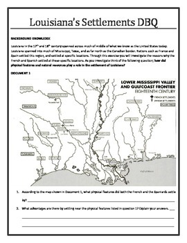
Louisiana History - Louisiana's Settlements DBQ
The purpose of this DBQ is to analyze why the French and Spanish settled in the locations they did throughout Louisiana. Students will investigate and come to the conclusion that both natural resources and physical features play a major role in determining the locations for settlement. This activity starts students on the process of completing a task as well as writing an essay
Grades:
8th
Types:
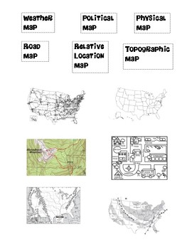
Types of Maps Foldable
This freebie includes:1 worksheet-> 6 different types of maps - pictures and labels!How to create the foldable:-Fold both sides of a paper ("hamburger style") into the center and crease. Cut the two sides twice, so that there are 3 flaps on each side. -Have students cutout the labels and pictures.-Have students glue a label on the outside flap, a picture on the inside flap, and then write down a short definition/description of each map!
Subjects:
Grades:
4th - 6th
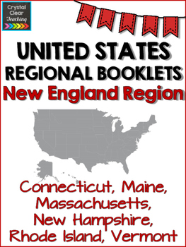
New England State Region Booklet
This state booklet will take your students through the New England states: Maine, Vermont, New Hampshire, Massachusetts, Connecticut, and Rhode Island. They will enjoy learning about the symbols of each state while still learning the capital and location on the map.
Even better, this product makes it easy for you to teach the region. Simply use the answers and links provided to discuss one state each day. Students will fill in the blanks for the state symbols, color the state on a map, and colo
Subjects:
Grades:
3rd - 6th
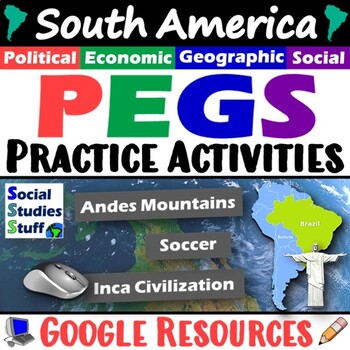
South America PEGS Factors Practice Activity and Worksheet | Google
Examine South America by looking at its PEGS factors (Political, Economic, Geographic, Social). Challenge students to classify & analyze facts about the continent by completing a fun, practice activity.Social Studies curriculum changes focus, sometimes drastically, from year to year. The PEGS factors are common themes that unite all SS classes. Similar ideas are taught as PESTLE, STEEP, or PEST. Building a strong foundation with these concepts leads to vertical alignment across grade levels.
Grades:
4th - 8th
CCSS:
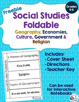
Social Studies Foldable
Social Studies Foldable----This is a foldable resource for students to use at the beginning or end of a unit! Great resource to use as a review/study tool. It includes 5 sections for the foldable which are: 5 Themes of Geography Culture Religion Government EconomyThis product includes directions on how to make the foldable, the cover sheet and includes a key for teachers to use. Great DIFFERENTIATED Activity!!You may also be interested in Learning Objective Labels for Bulletin Boards, Days of t
Subjects:
Grades:
5th - 8th
Showing 1-24 of 137 results


