205 results
Middle school geography games for Microsoft Word
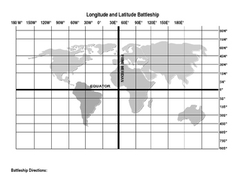
Latitude and Longitude Battleship Game
This is based on the game "Battleship" only using Latitude and Longitude and a world map as the game board. Its a fun way to review/teach students how to use coordinates. I have used it with 6,7, and 8th grade students and they all love it. Its great for engagement.
Subjects:
Grades:
6th - 9th
Types:
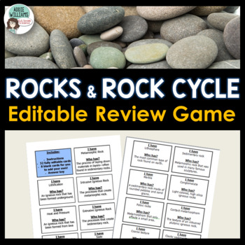
Rocks & Rock Cycle Review Activity (Editable)
TYPES OF ROCKS and THE ROCK CYCLE - A fun and engaging activity to review the concepts related to the Rock Cycle and Igneous, Sedimentary, and Metamorphic Rocks. Although often used with elementary students, my middle school and high-school-aged students have just as much fun playing "I Have, Who Has"! Includes 32 game cards, instructions, and a template for you to add your own terms and concepts. Includes a full answer key. This document CAN be EDITED in MS WORD.**This item is also included
Subjects:
Grades:
6th - 12th
Types:
Also included in: Rocks and Minerals - Types of Rocks, Rock Cycle, Minerals and More!
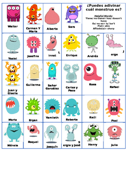
Monster Body Parts Guess Who review game- Partes del cuerpo
Similar to guess who, helps students practice the body parts in a fun way. I have also integrated Hispanic names to expose students to different names within the Hispanic culture.
Useful for Spanish 1 or Spanish 2.
Subjects:
Grades:
6th - 12th
Types:
World Geography Introductory Trivia Competition
This trivia competition is a fun introductory lesson for a World Geography course. Some basic geographic concepts are demonstrated in an entertaining way. However, the bulk of the lesson is designed to expose students to dissonant information about life in other countries, the relative position of the United States in the world, or enduring global challenges like piracy and slavery. Although the comparative components emphasize contrast with the United States, the lesson could be easily ada
Grades:
7th - 12th
Types:
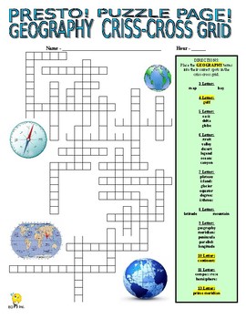
Geography Puzzle Page (Wordsearch and Criss-Cross / Map / Social Studies / SUB)
PRESTO!This download is for two fun puzzles that will work great as busy work, extra credit, or that perfect Friday afternoon time filler!Use one!Use both!Your download includes a WORDSEARCH and CRISS-CROSS GRID that focus on key vocabulary terms connected to GEOGRAPHY! A great addition to every social studies classroom!Answer key for both puzzles is provided!PRESTO!
Subjects:
Grades:
5th - 8th
Types:
Also included in: SOCIAL STUDIES VOCABULARY PUZZLES SUPER BUNDLE - NO PREP / SUB
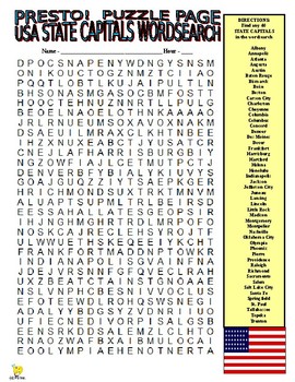
50 US State Capitals Puzzle Page (Wordsearch and Criss-Cross / Geography / SUB)
PRESTO!This download is for two fun puzzles that will work great as busy work or extra credit!Use one!Use both!Your download includes a WORDSEARCH and CRISS-CROSS GRID that focus on the 50 STATE CAPITALS!Answer key for both puzzles is provided!PRESTO!
Subjects:
Grades:
5th - 8th
Types:
Also included in: SOCIAL STUDIES VOCABULARY PUZZLES SUPER BUNDLE - NO PREP / SUB
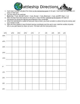
Latitude and Longitude Battleship!
Practice learning about latitude and longitude with a game of battleship! Students are given a grid with latitude and longitude points. They have to place 5 ships on the intersecting points on the grid. Then the game begins! Quick, fun activity to help student with social studies and grid skills!
Grades:
3rd - 6th
Types:
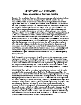
Early American Trading Systems: A Native American Trading Game
Engage students in a U.S. history and economics lesson through regional trading practices amongst Native American tribes of North America. The simulation is meant to accompany Ch. 1, Sec. 1 of the McDougal Littell text, "The Americas: Reconstruction to the 21st Century." However, it is adaptable for any Native American groups, and therefore adaptable to all grade levels. It is fun and the students really love it!
Subjects:
Grades:
6th - 11th
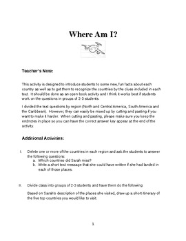
Where Am I in Latin America and the Caribbean?
This activity is designed to introduce students to some new, fun facts about each country in Latin America and the Caribbean, as well as to get them to recognize the countries by the clues included in each text. The clues might refer to geographical, historical, political, economic or demographic characteristics of a country.
This activity should be done as an open-book activity and I think it works best if students work on the questions in groups of 2-3 students. I divided the text questions b
Subjects:
Grades:
6th - 12th
Types:
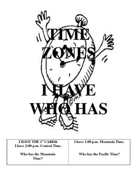
TIME ZONES - I have who has
This is a fun classroom game to practice time zones. Your students will love playing this.
Subjects:
Grades:
4th - 12th
Types:
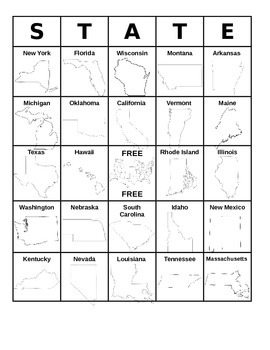
50 States BINGO!
4 randomized BINGO sheets containing all 50 State's names and outlines. Made in a Microsoft Word document in order for you to edit, if you wish. Enjoy!You may also be interested in the following products: All 50 States Word Search- Click Here! States & Capitals Flashcards- Click Here! United States of America- States & Capitals: Blank Region Tests & Pre Tests- Click Here!Labeling a Blank Map of the USA- Google Forms (Distance/E Learning Activity)- Click Here! North America- Blank Ma
Subjects:
Grades:
3rd - 8th
Types:
Also included in: United States of America BUNDLE
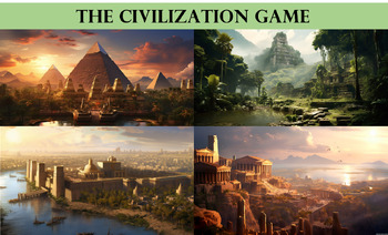
Civilization Simulation Game
This multi-day lesson is aimed at World and Global History courses with the purpose of helping students understand how geography and natural resources impact the development of civilizations. Students engage in scenario-based learning simulation, choosing their location and the resources available to them before learning the fate of their civilization based on their selections. The students reflect and discuss their findings in order to discover how geography and natural resources would likely
Grades:
7th - 12th
Types:
CCSS:
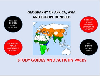
Geography of Asia, Africa and Europe Bundle: Study Guide/Activity Packs
Generate excitement and engagement in your classroom as your students learn about the geography of Asia, Africa and Europe.
This bundle combines three separate Study Guides and Activity Packs. They are: GEOGRAPHY OF ASIA, GEOGRAPHY OF AFRICA , and the GEOGRAPHY OF EUROPE. You get a savings of $3.00.
This packet also contains three sets of five different highly engaging and interdependent cooperative group activities. The cooperative activities are structured to motivate students to be eng
Grades:
6th - 12th
Types:
Survivor Rainforest Activity
Imagine…You and your family are on vacation, backpacking through The Amazon Rain forest when suddenly your approached by a Jaguar! This activity tests your creative, critical thinking skills to see if you can survive in these conditions. Can you outlast your classmates?!
Subjects:
Grades:
5th - 12th
Types:
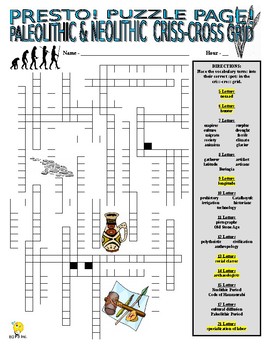
Paleolithic and Neolithic Puzzle Page (Wordsearch and Criss-Cross / History)
PRESTO!This download is for two fun puzzles that will work great as busy work, extra credit, sub lesson enhancement, or that perfect Friday afternoon time filler!Use one!Use both!Your download includes a WORDSEARCH and VOCABULARY CRISS-CROSS GRID that focus on the vocabulary terms connected to THE PALEOLITHIC AND NEOLITHIC ERAS! A perfect addition to any history classroom!Answer key for both puzzles is provided!PRESTO!
Subjects:
Grades:
5th - 8th
Types:
Also included in: SOCIAL STUDIES VOCABULARY PUZZLES SUPER BUNDLE - NO PREP / SUB
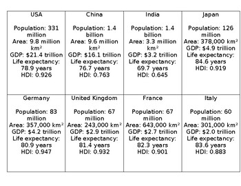
Geography top trump cards (country statistics)
Printable country top trump cards - great for a reward in class, or for fast finishers!32 countries, the cards include the population, area, GDP, life expectancy, and HDI.Print double sided for professional looking top trumps card your students will love.You can print as many sets as you need!
Subjects:
Grades:
3rd - 12th
Types:
Map Skills Game: choosing the appropriate map
This card game, with instructions and printable maps included, will help students choose the appropriate map to use in a given situation.
Students label six maps, read situations, choose the best map to use for that situation, and give feedback to team members. Students are required to give evidence for their choice, as well as listen actively and evaluate answers. Higher level questions included.
Maps included are: historical, political, physical, product, road, and climate.
This game ca
Subjects:
Grades:
4th - 6th
Types:
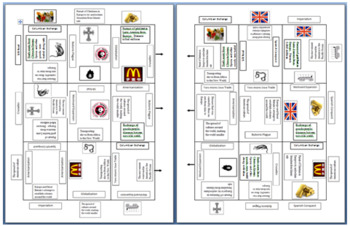
Geography Human Environment Interaction Jigsaw Puzzle! Fun and Challenging!
DO SOMETHING DIFFERENT IN CLASS TODAY! This is a Jigsaw Puzzle that uses HEI content to connect the pieces. It teaches content AND problem solving (what a unique concept!) It can be used to teach content or review content. It covers: Polders, Aral Sea, Trans-Siberian Railway, Chernobyl Nuclear Explosion, Slash and Burn Farming, Deforestation, Ganges River Pollution, Industrial Revolution, Green Revolution, Desalinization, Panama/Suez Canal, and Rabbits in Australia. Check out the preview to
Grades:
8th - 11th
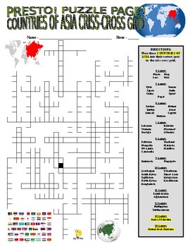
Asia Countries Puzzle Page (Wordsearch and Criss-Cross / Geography / SUB)
PRESTO!This download is for two fun puzzles that will work great as busy work, extra credit, sub plan enhancement, or that perfect Friday afternoon time filler!Use one!Use both!Your download includes a WORDSEARCH and CRISS-CROSS GRID that focus on THE COUNTRIES OF ASIA! (All 48 of them!)A perfect addition to any social studies classroom!Answer key for both puzzles is provided!PRESTO!
Subjects:
Grades:
5th - 8th
Types:
Also included in: SOCIAL STUDIES VOCABULARY PUZZLES SUPER BUNDLE - NO PREP / SUB
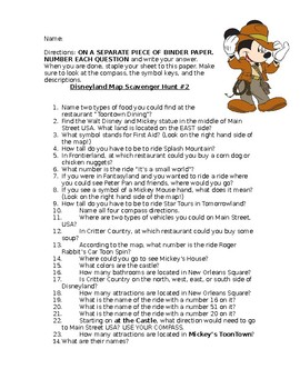
Disneyland Map Scavenger Hunt #2
DISNEYLAND SCAVENGER HUNT # 2What better way to learn about maps then with a DISNEY MAP? I have extra Disneyland maps on hand for my students to use but you can easily find a copy online and print!ENJOY!
Subjects:
Grades:
1st - 8th
Types:
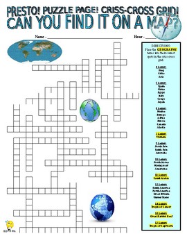
Geography - Find It on a Map Puzzle Page (Wordsearch and Criss-Cross / SUB)
PRESTO!This download is for two fun puzzles that will work great as busy work, extra credit, sub plan enhancement, or that perfect Friday afternoon time filler!Use one!Use both!Your download includes a WORDSEARCH and CRISS-CROSS GRID that focus on key vocabulary terms connected to GEOGRAPHY (specifically locations on a map: countries, continents, etc)! This is a perfect puzzle to accompany a map assignment or webquest. A great addition to every social studies classroom!Answer key for both puzz
Subjects:
Grades:
5th - 8th
Types:
Also included in: SOCIAL STUDIES VOCABULARY PUZZLES SUPER BUNDLE - NO PREP / SUB
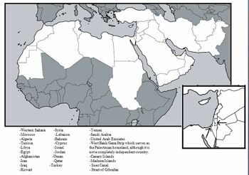
Mapping Middle East and North Africa
Students will be able to use geographic representations to locate the world’s continents, major landforms, major bodies of water and major countries and to solve geographic problemsUsing physical and political maps of Northern Africa and the Middle East in the textbook or other reliable sources, students should label the countries, major landforms, and major waterways on their outline map. A list of map items is included, along with an online game to encourage memorization.This document includes
Subjects:
Grades:
6th - 10th
Types:
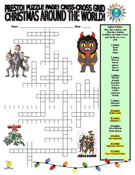
Christmas Around the World (3 Puzzles : wordsearch / cc grid / match / holidays)
PRESTO!This download is for three fun puzzles that will work great as busy work, extra credit, sub lesson enhancement, or that perfect Friday afternoon time filler near the December holiday season!Use one!Use both!Use all three!Your download includes a WORDSEARCH and CRISS-CROSS GRID and HOLIDAY-TO-COUNTRY TRADITION WORD MATCH that focus on countries and holidays connected to CHRISTMAS AROUND THE WORLD! A perfect addition to any reading, language arts, or social studies classroom for the holida
Grades:
5th - 8th
Types:
Spanish-Speaking Countries Map Card Games
Print on cardstock and cut into cards. Make one set for every 3-4 students. One card has a regional map with the country name and the country highlighted. One card has an outline map of the country with the map marked and the name of the capital. Names are in Spanish.Use for Flashcards, Concentration, Slap, Old Maid, Drats, Kaboom, Go Fish, Match Game.
Subjects:
Grades:
5th - 10th
Types:
Showing 1-24 of 205 results


