1,693 results
Free 8th grade geography microsofts

States and Capitals Jeopardy
States and Capitals Jeopardy is an excellent tool for a review game for the 50 states and their capitals. Students can be broken into teams to compete against each other or they can keep track of their scored individually. The students love it and really get into it!
Powerpoint is able to be edited to allow for new review games with the Jeopardy template.
Subjects:
Grades:
4th - 8th
The World Where I Live...
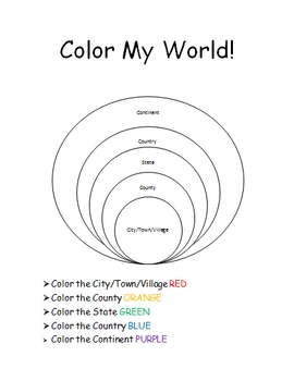
This is a jam-packed, 40 page unit full of multi-sensory and multi-grade-level activities all centering on the relationships between the following concepts: city/town/village, county, state, country, continent, and community helpers. The following mathematical concepts are also explored: range, median, mode, and average (mathematical mean).
The following activities are included in this unit: Key vocabulary exercise, coloring Venn diagram activity, "Greater Than, Less Than" activity page, "My
Subjects:
Grades:
K - 8th
13 Colonies Map Quiz
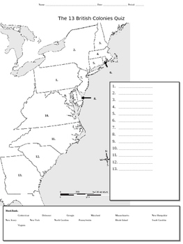
This mapping activity which addresses the original 13 colonies can be used either an initial introduction worksheet/organizer or as a quiz.
Subjects:
Grades:
4th - 9th
Types:
13 Original British Colonies Blank Map
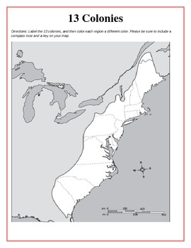
This is a map of the original 13 British Colonies that is blank and able to be filled out by students. The directions also state that students are to color the three regions and include a key and compass rose on their maps. Great way for the students to learn about the 13 Original colonies.
If you like this printable, please visit my store and see what else I have!!! www.teacherspayteachers.com/store/Kathryn-B
Subjects:
Grades:
5th - 12th
Types:
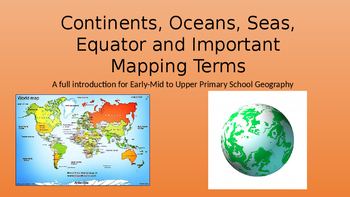
Continents, Oceans, Equator, Lines of Latitude and Longitude
A full introduction to the 7 continents with facts and pictures. Also facts and pictures for each of the 5 oceans. The conclusion is based on explaining the equator, lines of latitude and longitude as well as a brief description of the prime meridian. Enjoy.
Grades:
2nd - 9th
Types:
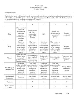
Country Research Project
** Uploaded Word document. Items will need to be copied/pasted into documents to fix some formatting issues.
This Country Research Project was designed as a group project for use with grades 5-8. It includes all of the introduction/explanation papers, worksheets for history, culture, travel, and geography as well as the presentation rubric and worksheet to go along with the Travel Expo (if you so choose to have one). There is a timeline included that covers roughly 8 days and includes time in t
Subjects:
Grades:
5th - 8th
First day of High School or Middle School Activity
Power point with an activity that moves around the room. You will provide music to go with the activity. Students choose a genre of movie which will place them in their initial group. This activity will help them feel safe in sharing and getting to know one another. I used this last year and it was great to see them talking to each other in an educational way and learning how to do this from day 1. You can change the questions after the groups are formed, for any subject! Enjoy!
Grades:
8th - 11th
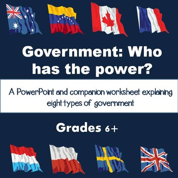
Types of Government PowerPoint and Worksheet
This PowerPoint goes through eight types of governments we see throughout the world. Each slide contains information about the basics of the government and gives current examples.
There is a companion worksheet to accompany the PowerPoint that will help students follow along and provide help with taking notes.
The following governments are covered:
Dictatorship
Absolute Monarchy
Constitutional Monarchy
Democracy
Republic
Communism
Theocracy
Anarchy
The beginning of the PowerPoint also address
Subjects:
Grades:
8th - 10th
Also included in: Introduction to Government Unit Bundle
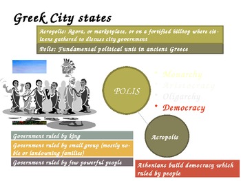
Ancient Greece - World History - Powerpoint
This Ancient Greece powerpoint is both colorful and engaging with an amazing amount of interesting content on the slides.
The content of the slides include many topics including:
1. Ancient Greece and the Trojan Wars - Iliad and Odyssey
2. Classical Greece and the great philosophers such as Socrates
and Plato
3. Alexander the Great and Darius: Egypt, Persia, and India
4. Hellenistic culture and Grecco Roman civilization
The slides are full of content and the pictures are vibrant. This
Grades:
6th - 10th
The 5 Regions of the United States Google Slides
Use this Google Slides Presentation to help teach students the different regions of the United States. Have students follow along with a worksheet, notebook, or just a class discussion.
Grades:
3rd - 8th
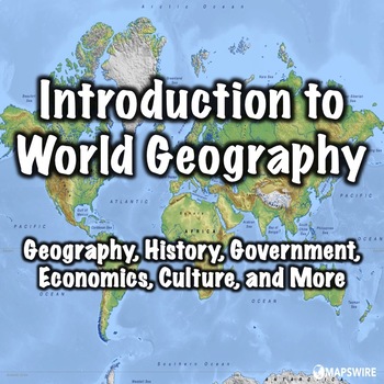
Introduction to World Geography
This presentation can be used to introduce students to world geography. Both a PowerPoint and a link to download a version formatted for Google Slides are included. It was designed to used with the other world geography presentations in my store. The presentation can also be used with a free worksheet that can be found here: World Geography Worksheet.This presentation includes:Introduction - 2 slidesLocation - 2 slidesPeople - 3 slidesFlags - 1 slideGeography - 7 slidesHistory - 2 slidesGovernme
Grades:
5th - 8th
Types:
CCSS:
Also included in: Geography Introduction Bundle
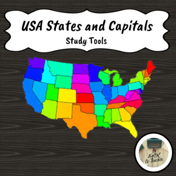
US States and Capitals Study Resources for Quizlet and Kahoot
This Google Doc contains Kahoot and Quizlet review games for the 50 States, Capitals, and their abbreviations. There are 4 different Kahoots the states by region:NortheasternSoutheasternMidwestWest and SouthwestAdditionally, there is a comprehensive Quizlet that goes over all matching all 50 states.With the links, you can duplicate the study set to individualize the set for your needs. Perfect for independent work time in your classroom or to share with families for your students to share at hom
Grades:
3rd - 11th
Types:
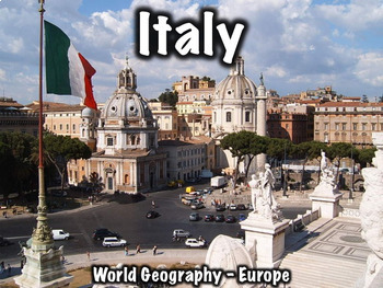
Italy PowerPoint - Geography, History, Government, Economy, Culture and More
This 36 slide Italy PowerPoint presentation provides an overview of its history, geography, government, economy, and culture. A free worksheet that can be used with this presentation can be found here: Italy Worksheet.Both a PowerPoint and a link to download a version formatted for Google Slides are included.Includes:Geography/overview - 8 slidesFlag - 1 slideHistory/notable people - 10 slidesGovernment - 4 slidesEconomy - 2 slidesCulture - 4 slidesMiscellaneous - 6 slidesThis presentation can a
Grades:
5th - 8th
CCSS:
Also included in: Europe Bundle Two

Map Skills Introduction Powerpoint
Are you introducing map skills to your students? This is a great resource whether you are introducing or reviewing map skills. The PowerPoint reviews the following terms: Use of, relative location, map scale, key or legend, compass rose, cardinal and intermediate direction, compass rose, physical and human characteristics, symbols, and longitude and latitude, and absolute location.
Like the PowerPoint? Download the bundle! The bundle includes the PowerPoint, corresponding notes, and a creat
Grades:
4th - 8th

Regions of the United States PowerPoint
Thanks for visiting my store! Enjoy this free product to check out a sample of my products. This PowerPoint hits all the main characteristics of each major region in the US.Don't forget to follow me! All followers will be notified of new products as I upload them. New products will be 50% off if you purchase them within 48 hours after they are posted.I appreciate your feedback on products you purchase!If you would like to have access to free resources, ideas, printables, and more, sign up for
Grades:
2nd - 8th
Types:
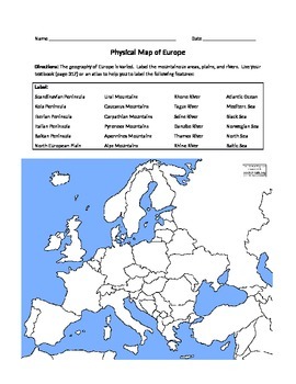
Physical Map of Europe
*Students label physical features listed on a blank (can use atlases or textbooks)
*Students write a paragraph describing the geographic features of a place where they might want to live in Europe
Grades:
6th - 12th
Types:

5 Themes of Geography PowerPoint
This PowerPoint presentation will go through the basics of geography. it covers Maps, Globes, and the 5 themes of Geography. It also includes a note-taking guide for students to follow along with. This is a really great lesson to introduce students to the basics of Geography.
*****************************************************************************
Customer Tips:
How to get TPT credit to use on future purchases:
• Please go to your My Purchases page (you may need to login). Beside
Subjects:
Grades:
7th - 9th
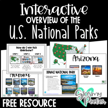
U.S. National Parks - Interactive Slideshow
An interactive slideshow about the United States National Parks which includes pictures and an interesting fact about each.
Subjects:
Grades:
K - 12th
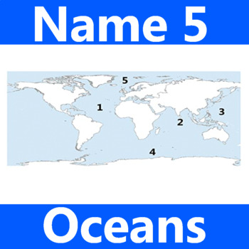
Name 5 Oceans Geography Classroom Activity Map Worksheet 1st-4th Grade
This is the perfect classroom activity for 1st, 2nd, 3rd, and 4th Grade students who are learning where the different oceans are. This five question geography worksheet has them finding and naming the different oceans of the world.
Grades:
PreK - 12th, Higher Education, Adult Education, Staff
Types:
World Geography Web Quest
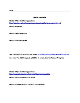
This web quest will lead students to several different websites to gather answers and information related to world geography. Students must define geography, human geography, & physical geography; take a quiz on the continents & oceans; determine why it is difficult to give an exact number of countries in the world; explain what is interesting about the earth's circumference; and answer several basic questions related to the world's current population, land sizes, landforms, climate, &am
Grades:
6th - 10th
Types:
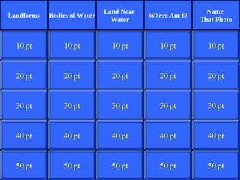
Landform Geography Jeopardy Game
This is a jeopardy game about geography landform terms, such as archipelago, lake, river, bay, mountain, sea, canal, mountain range, valley, desert, ocean, volcano, harbor, peninsula, waterfall, hill, plain, island, and plateau.
This can be used as a pre-assessment tool for students (and teachers) to get an idea of what the students already know. It can then be used again at the end of the landforms unit as a post-assessment and review tool prior to an individual summative assessment.
Subjects:
Grades:
4th - 9th, Adult Education
Types:

American Colonies Power Point and Exam
This 12 slide Power Point on how the American Colonies were established includes colorful images and maps to support the text. Includes the reasons why Europe colonized America, information on the lost colony of Roanoke, Jamestown, and the major differences between the 3 colonial regions (New England, Middle, Southern). The last slide includes review questions for students' responses orally or in writing as a closure for the presentation. The review questions can also be used as a warm up for
Subjects:
Grades:
5th - 10th
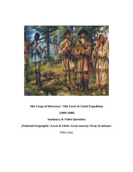
Louisiana Purchase: "LEWIS & CLARK: Great Journey West" VIDEO LINK, QUIZ, & KEY
This is a 14 question video quiz consisting of Short Answer questions that follow (in order) information presented in the 43 minute National Geographic video entitled, "LEWIS & CLARK: GREAT JOURNEY WEST". The video quiz consists of a cover page, summary, student quiz, and teacher key and video location on YouTube.
This quiz has been created to be completed as the video is being viewed (which may then be graded if desired). I would not advise having students complete this after viewing the
Grades:
8th - 12th, Higher Education, Adult Education
Types:
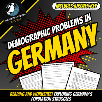
Analyzing Germany's Changing Demographics and Solutions Reading and Worksheet
This resource examines the population demographic trends confronting Germany and evaluates potential responses. Students will comprehend a reading detailing Germany's low birth rates, aging society, and workforce impacts. The worksheet's text-dependent questions assess understanding of key details such as challenges, cultural influences, and policy initiatives currently being implemented.Reading Passage: Dive deep into the demographic challenges faced by Germany, including its low birth rate and
Grades:
7th - 10th
Types:
Showing 1-24 of 1,693 results


