113 results
Free preschool geography microsofts
Landforms Vocabulary Powerpoint
A simple powerpoint to introduce young or ESL students to landform vocaulary. Covers mountai, island, valley, ocean, river, and hill.
Subjects:
Grades:
PreK - 2nd
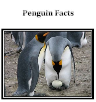
Penguin Facts
Whenever I introduce a lesson, I try to have loads of pictures and information. I felt the my students took well to this Penguin lesson so I thought I'd post it. Since I didn't take the photographs I'm not charging. I did a lesson with my Kinder art classes on drawing habitats and will use the same document to intro a sculpture lesson with my first grades. I love it and I hope you do too!
***********please give a rating :)**************
Subjects:
Grades:
PreK - 2nd
Homes Around the World (and their materials) Powerpoint
This powerpoint is an introduction to homes around the word with a focus on materials.
houses, wood, stone, mud, concrete, clay, bricks, straw, grass
**************************************************************************
Related Material
------------------
Homes Around the World and Their Materials: Student Activity
Homes Around the World Clip Art
***************************************************************************
Grades:
PreK - 1st
Types:
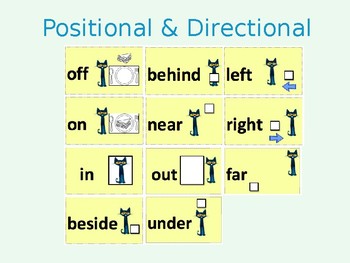
Positional and Directional Words Lesson Materials/Activities
Throughout the learning segment, students will build upon their understanding of geographic terms and representations using the themes of geography (e.g., location, place, human-environment) to describe and identify their surroundings. Moreover, the lessons will focus on positional and directional words including the following terms: in, on, out, under, off, beside, behind, near, far, left, and right.
This product includes:
Positional and directional words cards
Kid-friendly videos
Interacti
Subjects:
Grades:
PreK - 1st
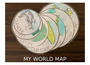
My Own World Map
Have your children learn about the world around them in relation to their own home address, street name, city, state, country, continent, and world map. Have them color in the map or color it in yourself. For our map we printed and then used a hole-punch to put our map together on a simple metal ring. The file is currently loaded with simple clip-art outlines for North America, United States and Florida, but can easily be interchanged with outlines from other continents, countries and states. Ti
Subjects:
Grades:
PreK - 4th
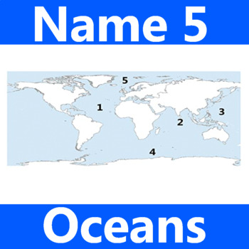
Name 5 Oceans Geography Classroom Activity Map Worksheet 1st-4th Grade
This is the perfect classroom activity for 1st, 2nd, 3rd, and 4th Grade students who are learning where the different oceans are. This five question geography worksheet has them finding and naming the different oceans of the world.
Grades:
PreK - 12th, Higher Education, Adult Education, Staff
Types:

Me on the Map PowerPoint
This is a simple powerpoint of Me on My Map. I created this powerpoint to teach map skills in a fun and straightforward way. Use this powerpoint with your students so they can remember their planet, continent, country, state, city, street, andhouse, and practice mapping skills by drawing their room. This resource is EDITABLE. TERMS OF USE:By purchasing and/or downloading this electronic file, you agree to the terms of use as stated below. Purchase of this resource allows one user to use the prod
Subjects:
Grades:
PreK - 1st
Types:
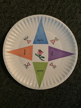
Compass Craft
All you need is some markers, a paper plate and these cut outs for early explorers to learn how to use a compass. Completing map activities is fun when they have a hand made reference of north, south, east and west!
Draw a personal design in the middle and bon voyage!
Grades:
PreK - 2nd
Types:

Me on the Map
Circle templates to be used for a "Me on the Map" activity. For use with a social studies unit about communities. Students will have a visual of how they fit within their community and how each small piece fits into a larger scheme.
Subjects:
Grades:
PreK - 5th
Types:
Geography Powerpoint Special Places_Aligns with Australian Curriculum
This Geography powerpoint is suitable for lower grades (K,1,2) and focuses on:
Identifying a special place and its features
Describing its location using a range of scales
Explaining why it is special in relation to its features
Identifying reasons why it may be important to others
Exploring ways in which we can care for it
The special place explored is Four Mile Beach in Port Douglas, Australia. The powerpoint could be easily adapted to suit any other place in the world.
The photos used (exce
Grades:
PreK - 1st
Japan - Country Study Presentation
This Country Presentation can be used for a very basic country study!Each page contains a basic fact and related illustration!You may NOT modify or edit in any way.You may NOT resell or distribute in any way.You CAN share it if you indicate the credits.You MAY purchase an additional license for each colleague who wishes to share.
Subjects:
Grades:
PreK - 12th, Adult Education
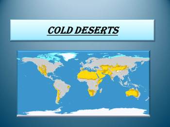
Free Cold Deserts
Free Cold Deserts
If you enjoy these pages please see my full unit:
COLD DESERTS- Animals- Plants- Interactive PowerPoint presentation
**********************************************************
PowerPoint presentation:
- Antarctic Desert
- Arctic Desert
PLEASE LEAVE SOME NICE FEEDBACK IF YOU DOWNLOAD OUR FREEBIE RESOURCE :)
This is a beautiful and informative 9 slide PowerPoint presentation.
You can provide feedback if you think this is a great resource for your class and follow my store for
Subjects:
Grades:
PreK - 9th
Africa Passport Stamps
Passport stamps for when your students learn about the great continent, Africa!
Subjects:
Grades:
PreK - 5th
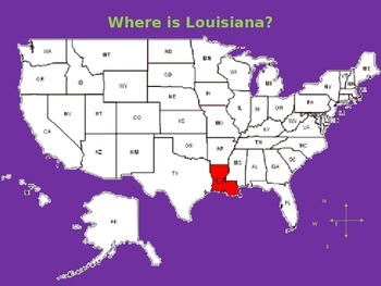
My Aunt Came Back - Powerpoint with Map of Louisiana and Objects/Foods
Use this PowerPoint to show your students where Louisiana is in the USA. Then, show them the map of Louisiana and all of the places the "Aunt Came Back" and the items she "Brought Me Back". The PowerPoint is editable so you can move the items to the city/parish as you read the story.
Enjoy!
Subjects:
Grades:
PreK - 5th
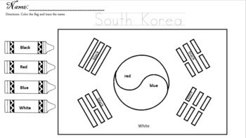
asian pacific american heritage month
Asian American and Pacific Islander Heritage Month is here! Teach your students how to write and identify national flags with these easy worksheets.
Subjects:
Grades:
PreK - 2nd
Types:
Art Road Trip to Arles with Van Gogh
I am an art teacher with a Masters in Instructional Media and developed Artist’s Road Trip lessons to include cover, map of country, lesson plan, examples, handouts, visuals, assessment rubric, National Core Arts Standards, and bonus coloring/poster pages. Art is for everyone and if you are an art, geography, or an elementary/middle education teacher who wants to include art in their curriculum these lessons are ideal. The lessons include art history, art production, art criticism, and aestheti
Subjects:
Grades:
PreK - 2nd
Types:
Also included in: Art Road Trip: Eight Famous Artists Bundled
Grayscaled Rainforest Animals
I have used this with the 5-year olds in our homeschool 'Around the World' co-op when we were covering Indonesia, on the topic of deforestation. We read 'The Great Kapok Tree' and talked about the animals that live in the rainforest that might be affected with deforestation.
This template was printed on A4 catridge paper (about 130gsm), and I got the children to trace the gray lines with white oil pastel. We then used watercolour to paint the animals and initial white lines drawn earlier will r
Subjects:
Grades:
PreK - 1st
Types:

Yellowstone Virtual Field Trip: geography, history, wildlife, & social studies
Like what you see? We have 20+ virtual field trips to National Parks!Check out the bundle here to see all of them available!Embark on an exciting journey to the American west through this captivating virtual field trip to Yellowstone! Explore the wonders of geysers, hot springs, wildlife, and more with our immersive experience. This virtual field trip is enriched with stunning pictures, engaging videos, and detailed explanations, providing a comprehensive understanding of Yellowstone's history a
Grades:
PreK - 6th
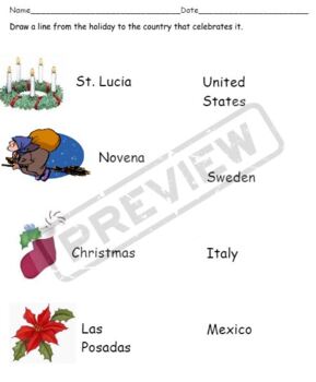
Christmas Around the World matching test
This is an easy assessment for use when teaching about how different countries celebrate Christmas. The test includes the United States, England, Mexico, Italy, Sweden, France, and Germany. Students draw a line to match the country to it's celebrated holiday.
Grades:
PreK - 2nd
Types:

Italy - Gondola Lesson Plan and Activity/Art Project
This lesson plan is sure to engage your students in learning more about the gondolas and waterways in Italy. The lesson includes facts and information along with an art based activity appropriate for K-5th grades. For younger students it may be necessary to offer templates or to pre-cut parts of the activity. It is intended to last approx. 45 minutes. Bonus lesson ideas are included to enhance learning or extend the time frame. Supplies will be needed to execute the art activity which are n
Subjects:
Grades:
PreK - 5th
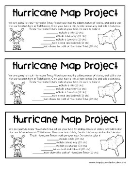
Hurricane Tracking Map Project from Simply sprout
Create a teachable moment from today's weather headlines. Have your students track Hurricane Irma with a fun map project that will help show the path a hurricane takes. Have students include important parts on their map, a title, a map key, compass etc.
Created by Marcy Grauer
simplysprout@gmail.com
www.simplysprouteducate.com
We work hard to share our creative passion for education. Please do not resell or redistribute any items purchased. All items purchased are for single classroom use on
Subjects:
Grades:
PreK - 12th, Staff
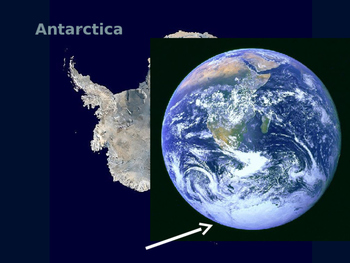
Antarctica Powerpoint
This is a little powerpoint I created for my preschool class. It has a map, a few interesting facts and some information about seals and penguins.
Subjects:
Grades:
PreK - K
Types:

Everybody Cooks Rice
his product is perfect for introducing students to global cultures and cuisines, fostering cultural awareness, and encouraging an appreciation for diversity in food. Each page features a popular rice dish from a different country, complete with a vibrant illustration and a brief description that highlights key ingredients and cultural significance. Dishes include Korean Bibimbap, Indian Biryani, Spanish Paella, West African Jollof Rice, and Chinese Fried Rice. T
Subjects:
Grades:
PreK - 2nd

NAIDOC WEEK FREEBIE KINDERGARTEN
A downloadable resource that can be used in the classroom or during remote learning. This presentation includes teacher led and independent tasks that students can do while learning about Uluru and Aboriginal culture. A great resource to utilise during integrated units or NAIDOC Week.
Grades:
PreK - 1st
Showing 1-24 of 113 results


