6,318 results
Middle school geography lessons under $5
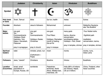
Compare World Religions Chart --Judaism, Christianity, Islam, Hinduism, Buddhism
This is a chart I use with my students to compare five major world religions-- Judaism, Christianity, Islam, Hinduism and Buddhism. It is meant to have the students learn the basics and be able to know the major aspects of all the religions. I included a blank copy and a completed version. In my social studies textbooks, there is quite a bit of info about each of these religions. This can also be done this as a group jigsaw activity. Feel free to edit it to suits your needs. Let me know if
Subjects:
Grades:
5th - 10th
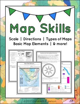
Map Skills Package
This package contains a variety of handouts, worksheets, a lesson idea, and an activity to help teach students map skills such as scale, cardinal and intermediate directions, types of maps (planimetric, thematic, topographic), and basic map elements (legend, title etc.)
Contents
Welcome
Teaching Guide (3 pages)
Latitude, Longitude, and Directions: The Orange Lesson
Latitude Labeling Worksheet Option 1 (label)
Latitude Labeling Worksheet Option 2 (trace)
Cardinal and Intermediate Directions Han
Grades:
3rd - 6th
Types:
Also included in: Map Skills Bundle: activities, worksheets, crafts, posters + more
US United States Physical Geography Google Earth Map Activities Digital Resource
Google Earth US Physical Geography Lesson Set, Exploration & Scavenger HuntStart the year in US history unit with a fun, student-centered, inquiry-based Google Geography Exploration and Scavenger Hunt! This comprehensive Google United States Geography lesson has been both student and teacher-approved with an overwhelming thumbs-up! It embodies all of the cool geography capabilities of Google Maps and Google Earth in a digital US geography interactive notebook format complete with a Google F
Subjects:
Grades:
4th - 10th
Types:
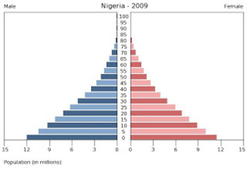
Population Pyramids Lesson and Activity
UPDATED 2023! This product now has an updated version with population data from 2020-2022 for the practice countries. This product will teach students the basics of how to read, understand and analyze population pyramids. The product has a student note piece along with an activity that can be used as an individual assignment or as a cooperative group activity. After students learn how to read a population pyramid they will construct their own using data provided and then analyze the pyramid(s)
Grades:
8th - 12th
Types:
13 Colonies: Comparing Regions - New England, Middle, & Southern Colonies
13 Colonies: Comparing the Regions – New England, Middle & Southern ColoniesThis lesson teaches how the three regions of the 13 Colonies differed from one another: New England, the Middle Colonies, and the Southern Colonies. Students will learn how the climate and geography of the three colonial regions impacted the economic as well as the social lives of colonists in the three regions of the 13 Colonies. Students will learn how the New England colonists had to look to different types of rev
Subjects:
Grades:
5th - 11th
Also included in: Early US History Bundle: 1492 - Civil War
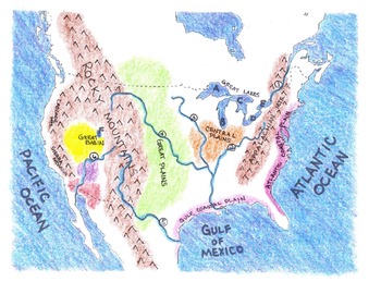
Geography: Make-Your-Own US Physical Map Project
This project includes the following:
*Lesson plan --two or three days to complete.
*I CAN statements identifying the major water and landforms in the United States. Check boxes are included as bullet points in front of statements.
*Student project title cards to put on top of each map (glue finished product on large piece of 12"x 18" construction paper).
*Project title strips for students --four per page to save paper.
*Map legend template.
*Outline map of the mainland United States for student
Subjects:
Grades:
3rd - 6th
Types:
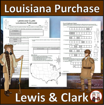
Louisiana Purchase - Lewis and Clark Expedition
Here is a fun and engaging activity about Lewis and Clark and the Louisiana Purchase. Your students will be answering comprehension questions about the famous expedition through the Louisiana Territory. They will be using their map skills to complete a map of the area at the time in the United States.The purpose of this activity is for students to show their understanding of the impact of Lewis and Clark's expedition through the Louisiana Territory and beyond.Here is what you'll get in this 3-pa
Grades:
5th - 8th
Types:
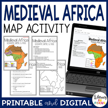
Medieval Africa | Ghana, Mali, and Songhai | Map Activity | Printable & Digital
This map lesson focuses on West African geography and the Medieval Empires of Ghana, Mali, and Songhai. Students will locate and label African deserts, rainforests, and savannas in order to analyze how trade was affected by different types of geography. A digital version for use in your Google Classroom is included. **This resource is part of the World History Map Activities Bundle. TEN map lessons and assessments are included at a 20% discount price! Click here to see all the resources in the
Grades:
5th - 8th
Types:
CCSS:
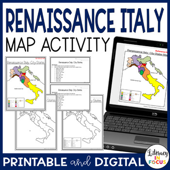
Renaissance Italy City States Map Activity | Google Classroom | Printable
Captivate all types of learners with a hands-on map lesson! This map lesson and assessment focuses on the Italian city-states during the Renaissance. A digital version is included for use in your Google Classroom. **This resource is part of the World History Map Activities Bundle. TEN map lessons and assessments are included at a 20% discount price! Click here to see all the resources in the bundle and take advantage of the HUGE savings.INCLUDED WITH YOUR PURCHASE:Map Directions: The directions
Grades:
5th - 8th
Types:
CCSS:
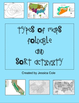
Types of Maps Sort and Foldable for Interactive Notebook
Put a hands on twist on a typical and sometimes "boring" social studies topic. Resource can be used in multiple ways. Students can work independently, in partnerships, or small groups.
Foldable (picture example included):
Students create a foldable insert for their social studies interactive notebook using colorful construction paper, and given information which includes map title, picture, and definition.
Sort Activity:
Great for partners and center work. Students cut and sort cards to
Grades:
3rd - 6th
Types:
Middle East Webquest
Students will gain basic knowledge about life in the Middle East by completing an internet based worksheet. The following topics are covered in this webquest:The geography of Middle EastThe modern history of the Middle EastThe people of the Middle EastThe webquest contains 50 questions and is a great introduction to a unit on Middle East. The webquest will take most students 30 to 50 minutes depending on age. An answer sheet is included for the teacher. Word and PDF versions are included. The i
Subjects:
Grades:
5th - 12th
Types:
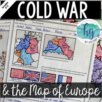
Cold War: The Changing Borders of Europe: 1945-1993
This mini-lesson will help your students understand how Europe's borders changed after World War II, during the Cold War, and after the collapse of the Soviet Union. You can use this as guided notes, station work, homework, in an interactive notebook, and much more! What's Included:*Changing Borders of Europe Reading Packet (7 pages, in color and b&w)*PowerPoint presentation to use instead of the reading packet (32 slides) *added May 2017**Student Handout for notes (7 pages, students will fi
Subjects:
Grades:
6th - 9th
Also included in: Cold War Lesson Bundle for U.S. and World History Units
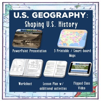
U.S. Geography - Shaping U.S. History
This lesson teaches students the major geographical features of the United States and how they have influenced historical events. Students will learn different types of maps, our major rivers and waterways, our mountain ranges, and the role topography has played in our history. For an overview of the material covered,check out our flipped class YouTube video which is part of the lesson at: US Geography YouTube VideoThis lesson includes:• Completed lesson plan with step-by-step instructions • Pow
Subjects:
Grades:
6th - 12th
Also included in: Early US History Bundle: 1492 - Civil War
NFL Football Teams Absolute Location Assignment with a Google Earth Tour
August 2023 update: Team locations have been updated in both the print version and the Google Drive digital version. Also, it's easier than ever to take the Google Earth tour of NFL Stadiums. This document describes 5 quick, easy steps to get started. Also, all stadiums and respective cities have been updated since last season.Absolute and relative location are two basic, important geography tools that all students must master. Why not teach students these vital skills in a fun, active way? This
Grades:
3rd - 9th
Types:
Also included in: Creative Geography Assignments Bundle about the United States of America
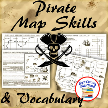
Pirate Map Skills: Grid Coordinates, Cardinal & Ordinal Directions, Symbols
Teach and strengthen coordinate grid math, geography mapping skills like map symbols and cardinal and ordinal directions with a compass rose, and new vocabulary with these pirate themed printable worksheets. These are fun mini-lesson activities for Talk Like A Pirate Day on September 19th or if you have a pirates themed unit. Cardinal directions and coordinate grid mapping are important introductory skills to mastering latitude and longitude map skills and being able to use an atlas. Coordinate
Subjects:
Grades:
3rd - 6th
Also included in: Pirates Thematic Unit Study Bundle: Talk Like A Pirate Pack!
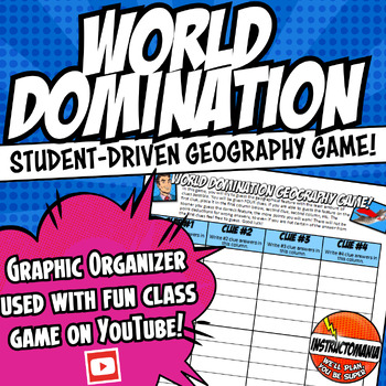
World Domination! US or World Physical Geography Video Worksheet Activity Game
This is the answer document for the US History, World History, and Ancient History physical geography games via Instructomanias YouTube channel posted at:View video playlist!Just copy and paste the link above to find completely student-driven physical geography games for the following regions:⭐1. The United States⭐2. World Continents and Oceans⭐3. Japan⭐4. China⭐5. India⭐6. Italy⭐7. Europe⭐8. Greece⭐9. Ancient Mesopotamia⭐10. Africa⭐11. Mexico⭐12. South AmericaMy class LOVES this geography game!
Grades:
4th - 9th
Types:
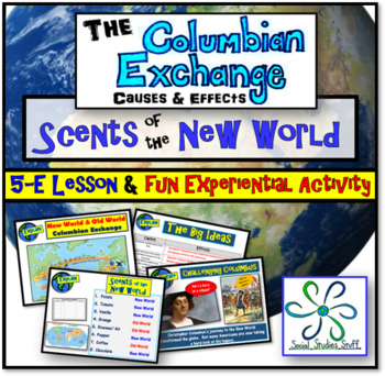
Columbian Exchange 5-E Lesson & Activities | Columbus, Colonization & Trade
“Scents of the New World” is an unforgettable lesson where students assume the roles of Spanish explorers on their first trip to the New World. An optional hands-on experiential activity has students guessing hidden items native to the New World by scent. While fun for the class, this lesson also challenges students to analyze the lasting effects of the Columbian Exchange on the world. All materials are included and the PowerPoint presentation easily guides you through the entire lesson and a
Grades:
4th - 10th

Types of Economic Systems: Paper Airplane Challenge
Teach students the different types of economic systems through the Paper Airplane Challenge; a fun and interactive way for students to learn about the four types of economies. Students begin by either being a producer or consumer of paper airplanes. Through this interactive challenge, students are introduced to the basic principles of each economy type (traditional, command and market). After small group and class discussions, students will view a Google Slides presentation providing more spe
Subjects:
Grades:
5th - 11th
Types:
Also included in: Economics Lesson Bundle: Paper Airplane Challenge
Amazon Rainforest Deforestation Lesson and Mini-Debate Activity
Amazon Rainforest Deforestation Lesson and Mini-Debate ActivityAwesome activity for having students engage in quick but meaningful debate surrounding an environmental issue!This no prep activity will keep students fully engaged while working together or independently to learn about Deforestation in the Amazon Rainforest. Students will read a scenario in which plans are being made to build an iron ore mine in part of the Amazon Rainforest. One scenario is written from the perspective of a young B
Subjects:
Grades:
6th - 10th
Types:
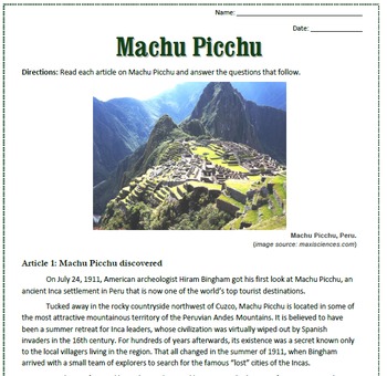
Machu Picchu: Reading, Activities, and Substitute Plan for Spanish Class
This is a reading passage about the history and facts of Machu Picchu. The reading includes three articles with questions and a crossword puzzle that follow.
This is a great reading to keep in your emergency sub plan file for your Spanish class. The reading is in English and includes a key. You can easily modify this for your class by only using some of the articles, rather than all three.
You can also check out my Machu Picchu puzzles pack that includes an additional crossword puzzle, a word
Subjects:
Grades:
7th - 12th
Geography Question of the Week {A Year's Worth of Questions!}
Need a fun way to engage students in geography? This series of 40 questions is a great solution! This simple routine will encourage your students to look at a map and gain a wealth of knowledge as they seek answers to these challenging questions.
Included in this product:
- Introduction to the routine
- 40 questions (20 World Geography & 20 U.S. Geography)
- Answer Key
- Student answer sheets
- Quote Poster "If you want to change the world, you must first learn about it!"
- Rules Printa
Subjects:
Grades:
3rd - 8th
Types:
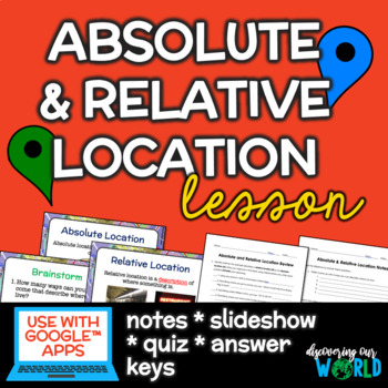
Absolute & Relative Location Lesson & PowerPoint
★★★This product is also part of a bundle!★★★:Map Skills BundleHelp your students understand the difference between absolute and relative location with this slideshow lesson. This 21 slide PowerPoint is ready to use with Google™ Classroom, and includes a video link, notes, and a homework/independent practice worksheet. This product includes:1. Absolute and Relative Location Slide Show (PowerPoint & Google Slides)2. Absolute and Relative Location Notes (PDF & Google Doc)3. Review/Homework
Grades:
4th - 9th
Also included in: Geography Skills GROWING Bundle
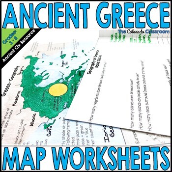
Ancient Greece Map Activity and Worksheets
This map and foldable question activity will have students focused on the map of Greece - ancient and current cities. The map contains directions for labeling as well as miscellaneous facts about Greece’s geography. A worksheet then asks questions to see what was learned. Answer keys and full color examples are provided. I highly recommend that you also download my Free – Geography of Greece 15 count slideshow which will help your students locate all the places they need to label.This geograp
Grades:
5th - 7th
Types:
Geography WebQuest- Continents, Oceans, terms, and Map Skills
Are you looking for something to enhance your lessons on geography? This webquest will do just that! The Geography Webquest will allow students to learn about the oceans, continents, geography terms, and map skills. They will be able to click on the links that will take them to various websites and help them answer questions related to geography. This product can serve as a great independent or partner activity after you teach the related lessons or even as the lessons themselves.I am providing
Grades:
5th - 7th
Types:
Showing 1-24 of 6,318 results


