14,000+ results
Middle school geography printables under $5
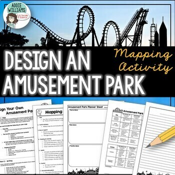
Map Skills Mapping - Design Your Own Amusement Park
Review the basics of mapping with this fun and engaging activity! Using map skills learned in class, students must design a map of their own amusement park and include mapping elements such as scale, a legend, symbols, and more! They must also write about and explain their "best" or most amazing ride. This activity has always been one of my students' favorite projects! It's a fun and unique way to wrap up a mapping unit or a fun project for social studies!I encourage the students to pick a them
Subjects:
Grades:
6th - 9th
Types:
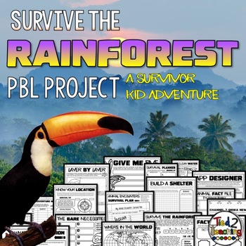
Rainforest Project Based Learning PBL Habitats ELA Math Writing Activity
Using this Rainforest Project Based Learning in your classroom is the perfect way to have your students incorporate reading, writing, science, math, critical thinking, and problem solving skills in a fun, real-life context. In this PBL unit, your kids will love being SURVIVOR KID as they try to survive 5 days and nights in the rainforest! As they work to survive the rainforest, they will need to plan and budget, design a shelter, design a water filtration device, plan for animal and insect enco
Subjects:
Grades:
3rd - 6th
Types:
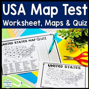
United States Map Quiz & Worksheet, USA Map Test w/ Practice Sheet, US Map Quiz
United States Map Test: Easy-to-read US Map Quiz and Practice Sheet will help students learn to correctly identify and locate all 50 states. This product also includes a labeled USA Map in full & half-page design and blank USA map for practice. Learning how to correctly identify all 50 states on a map of the United States is a critical skill for students of all ages.US Map Quiz (US Map Test) is ready to print-and-go to test knowledge of the USA Map and 50 states. This map of the United State
Grades:
2nd - 8th
Types:
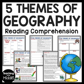
Five Themes of Geography Reading Comprehension Worksheet and Activities
Several Social Studies' Pacing Guides call for review or teaching of the Five Themes of Geography. I found that even though my students had seen this information in the past, they were still confused about some of the differences. This product gives students an informational passage (800-900 Lexile Level) on the history of the themes and a brief description of each. A graphic organizer is provided for students to complete while reading the passage. This can be done as whole group instruction,
Subjects:
Grades:
4th - 7th
Types:
Also included in: Social Studies MEGA Reading Comprehension Bundle For Buyer
Weathering and Erosion Sorting Activity | Digital and Printable
Weathering, Erosion, and Deposition Sorting is a hands-on activity designed to help your students understand three important processes that change the earth’s surface over time. After a short introductory lesson, students will work with a partner or team to sort and classify examples of weathering, erosion, and deposition. This product includes a teacher’s guide with a step-by-step lesson plan, activity directions, illustrated sorting cards, and an answer key. Printable and Google Slides version
Subjects:
Grades:
4th - 6th
Types:
NGSS:
4-ESS2-1
Also included in: Weathering and Erosion Activity Bundle | Digital and Printable
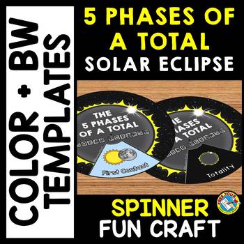
5 PHASES OF A TOTAL SOLAR ECLIPSE 2024 ACTIVITY CRAFT SPINNER SCIENCE PRINTABLE
TOTAL SOLAR ECLIPSE 2024 CRAFTS WHEEL PRINTABLE ACTIVITY (THE 5 PHASES OF A TOTAL SOLAR ECLIPSE SPINNER CRAFTIVITY)Are you looking for fun Total Eclipse activities? Kids will love making and spinning this eclipse crafts wheel/ spinner. This craft wheel is a fun way for kids to learn about the 5 phases of a total solar eclipse: First Contact, Second Contact, Totality, Third Contact and Fourth Contact. I have provided 2 versions of the wheel: color and black and white version. Each wheel con
Subjects:
Grades:
PreK - 6th
Types:
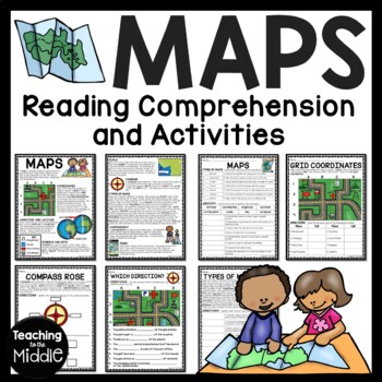
Map Skills Reading Comprehension Worksheets and Activities
Need to briefly explain or review map skills with your students? This product provides several activities to accomplish this. The PDF file includes: map overview reading passage with 15 comprehension questions (types of maps identification and term identification), grid coordinates practice, compass rose review, Which Direction?, and Types of Maps (8 questions). I use this at the beginning of the school year to review map skills with my students. I've provided a color and black and white vers
Grades:
4th - 7th
Types:
Also included in: Social Studies MEGA Reading Comprehension Bundle For Buyer
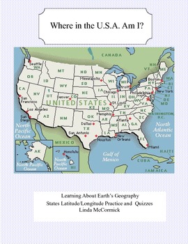
Latitude and Longitude Worksheets and Quizzes - U.S.A. Geography
This collection of worksheets and a printable map provide excellent lessons for learning latitude and longitude. • This package contains 9 pages. • A printable map with the necessary information to answer the questions regarding latitude and longitude.• Includes practice and two quizzes in the “Where Am I” format•Answer KeyThis lesson is google classroom ready.Please e-mail me with any questions about this resource or suggestions for future resources at: ljmccormick33@yahoo.com. If you are diss
Subjects:
Grades:
5th - 9th
Types:
Also included in: U.S.A. Geography- Bundle
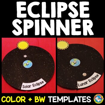
SOLAR AND LUNAR ECLIPSE CRAFTS WHEEL ACTIVITY SPINNER PRINTABLE SCIENCE
SOLAR AND LUNAR ECLIPSE CRAFT ACTIVITY SPINNER SCIENCE PRINTABLE (Perfect for the upcoming annular eclipse on October 14 and the following lunar eclipse)Are you looking for fun solar and lunar eclipse activities? Kids will love making and spinning this eclipse crafts wheel/ spinner. This eclipse wheel is a fun way for kids to visualize the position of the moon in relation to the sun and Earth during solar and lunar eclipses.I have provided 3 versions of the eclipse wheel: color, black and white
Subjects:
Grades:
PreK - 6th
Types:
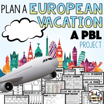
Plan a Vacation Project Based Learning PBL Design Projects Activities
Using Project Based Learning in your classroom is the perfect way to have your students incorporate reading, writing, math, critical thinking, and problem solving skills in a fun, real-life context. In this PBL unit, students will plan a vacation to Europe for them and their family! As they prepare for their adventure, they will create a realistic budget for their vacation. Give your students choice! As they work through this PBL, they will have the opportunity to make lots of decisions that
Subjects:
Grades:
3rd - 6th
Types:
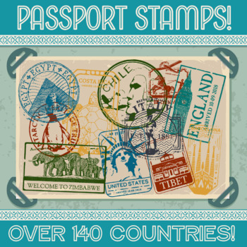
Passport Stamp Bundle - OVER 140 COUNTRIES!
Thanks for checking out my store!This updated product now contains stamps from over 140 countries!!! Let your students cut out their own and glue it into their passport, or print the stamps on sticker paper and hand them out as rewards for reaching certain goals. Whatever your methodology may be, I’m positive your kids will love it! Altogether this product contains over 300 PNG files, one color and one black & white for each country. This product comes with a LIFETIME update guarantee. As I
Subjects:
Grades:
1st - 9th
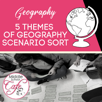
5 Themes of Geography Scenario Sort Cards
Looking for a way to help students understand the 5 Themes of Geography beyond the definition? Help students understand the 5 Themes with this sort that utilized real-world scenarios. Students from upper elementary to middle school will benefit from this activity. Included in this product:⇒ 10 Themes of Geography header cards (5 in each set)⇒ 38 scenarios for students to sort (19 in each set)⇒ Suggested uses for this product⇒ Answer keyRelated Products⭐ Why Study Geography?⭐ World Geography Wa
Subjects:
Grades:
5th - 8th
Types:
Also included in: 5 Themes of Geography Activities
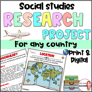
Social Studies Research Project for any Country - Culture and Geography Digital
Social Studies research project for any country / Geography research projectEngage your students in an exciting social studies research project that explores the rich cultural heritage and geography of different countries. This country research project encourages students to explore fascinating topics such as history, traditions, and customs. Through this hands-on geography investigation, students develop a deeper understanding of global diversity and enhance their research and critical thinkin
Subjects:
Grades:
2nd - 6th
Types:
Also included in: Social Studies research project for any country in Spanish - landforms
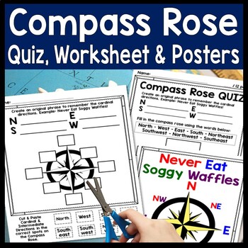
Compass Rose Worksheet, Quiz Test & Posters: Cardinal Intermediate Directions
Compass Rose Quiz, Posters & Practice Sheet Activities for Teaching Cardinal & Ordinal Directions. Students will enjoy practicing cardinal and intermediate directions with these Compass Rose Posters, Cut-and-Paste Compass Rose Worksheet printable and coordinating Compass Rose Quiz. Students must also create an original phrase to remember the directions, i.e. Never Eat Soggy Waffles! Teaching map skills? Need to review a compass rose for kids? Confused by north, east, south, & wes
Grades:
2nd - 6th
Types:
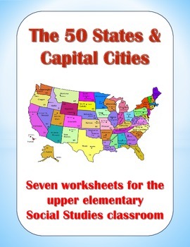
50 States and Capital Cities Worksheets for Upper Elementary Students
These worksheets are good tools for teaching students about the fifty states and their capital cities. In this packet, you will find the following worksheets and visual aids:
(1) State Capitals – Students must find all 50 state capitals and write them down on the blanks provided.
(2) The 50 States & Their Capitals – Students must write down the name of each state on the blanks provided.
(3) State Abbreviations – Teach students the proper postal abbreviations for all 50 states.
(4) State Nick
Grades:
3rd - 6th
Types:
Also included in: Creative Geography Assignments Bundle about the United States of America
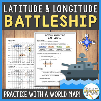
Latitude and Longitude Battleship Game | Geography Activity
This game is a fun twist on the traditional game of battleship! Students will practice following Latitude and Longitude coordinates to sink their partner's ships. This product uses a world map to help reinforce essential geography skills. This game is a great addition to a geography/map-skills unit. It can be used to check student progress or as a fun, culminating activity! This product includes: 4 pre-plotted gameboardsBlank gameboards for students to plot their own shipsDetailed instructionsS
Subjects:
Grades:
5th - 8th
Types:
Also included in: Latitude and Longitude ACTIVITY BUNDLE!
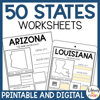
50 States Worksheets | Activities | Printable & Digital | Google Classroom
Printable and Digital 50 States Worksheets! Everything you need for students to research the 50 states is included! Each state worksheet is designed for students to research and complete independently. The extra research pages provide added rigor for those students wanting a challenge. The bibliography template requires students to document their sources when completing their research. Finally, the grading rubric provides students with clear assignment expectations. Printable PDF and Google D
Grades:
3rd - 6th
Types:
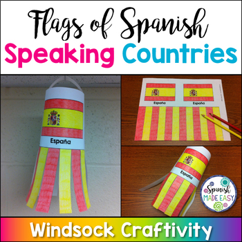
Flags of Spanish-Speaking Countries Windsock Craftivity
This is a coloring activity and windsock craft with the 21 flags of the Spanish-speaking world. Students will follow four simple steps to color, cut and glue these colorful windsock flags. Only five colors are needed: rojo, amarillo, verde, azul cielo, and azul (red, yellow, green, sky blue, and blue). This is a great activity when reviewing Spanish-speaking countries, Hispanic culture, holidays or colors. These windsock templates are available in both color and blackline. Makes a great decorati
Subjects:
Grades:
K - 10th
Also included in: Spanish-Speaking Countries, Capitals, and Nationalities Bundle
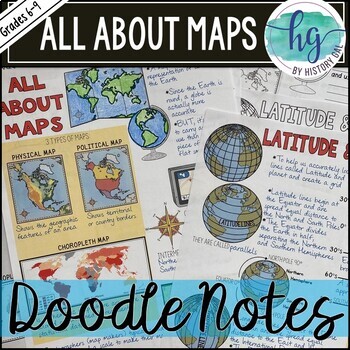
All About Maps Doodle Notes and Digital Guided Notes
This doodle notes set covers basic information about maps. It includes cardinal and intermediate directions, compass rose, scale, 3 types of maps (Physical, Political, and Choropleth), cartographer, map vs. globe, Latitude, Longitude, Equator (0 degrees), North Pole (90 degrees N), South Pole (90 degrees S), Northern Hemisphere, Southern Hemisphere, Prime Meridian (0 degrees), International Date Line (180 degrees), Eastern Hemisphere, Western Hemisphere. What's included with the printed Doodle N
Subjects:
Grades:
6th - 9th
Types:
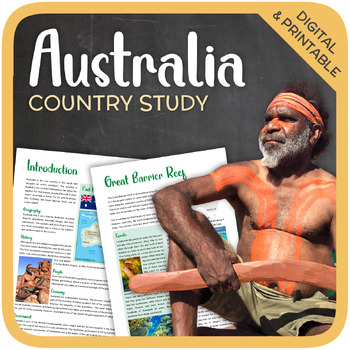
Australia (country study)
Let’s get to know Australia! This worksheet includes 21 pages with a great variety of activities and exercises about Australia. The materials have informative exercises about the things that Australia is famous for, such as the Great Barrier Reef, Aboriginals, Tasmania, the Sydney Opera House, and many other things! Word searches, puzzles and other kinds of activities are included to make it a fun and interesting class. GOOGLE SLIDES WITH PREMADE TEXTBOXES INCLUDED! Overview:Page 1-2: Introduct
Grades:
6th - 11th
Types:
Also included in: Top 10 Best-selling Units (Country Studies Bundle)
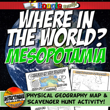
Ancient Mesopotamia Map Activity & Scavenger Hunt: Where in the World Geography
Explore the captivating geography of Ancient Mesopotamia through this engaging and student-driven activity that combines fun with interactive learning. Your students will embark on a journey of discovery as they uncover the essential geographical elements of this ancient civilization. Here's how the adventure unfolds:Map Creation: Students take the reins as they craft their own physical map of Mesopotamia, meticulously labeling its key features. This hands-on activity encourages a deeper unders
Grades:
4th - 8th
Types:
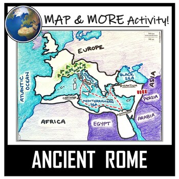
Ancient Rome Map Activity- Roman Empire (Label and Color!)
This Ancient Rome Map Coloring & Labeling Activity is a great resource to enhance your unit! Each student will make their own, personalized map of the Roman Empire, and learn about the geography and landmarks of the region. They will label and color their blank map, and answer follow-up questions related to the geography of Ancient Rome. A fun 'Make a Travel Brochure' project has also been added. It is a great way to connect this map activity to your lesson on Ancient Rome! A link to Goo
Grades:
4th - 11th
Types:
CCSS:
Also included in: Ancient Civilizations / World Maps BUNDLE- Color & Label Activities!
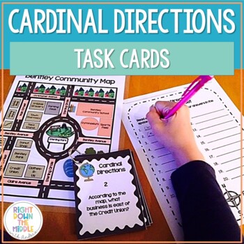
Map Skills and Cardinal Directions Task Cards
Cardinal Directions Task Cards are used to reinforce the skills students need to know for reading maps, using cardinal directions, and learning geography skills. This task card set uses the cardinal directions north, south, east, and west. Students will use the map ‘Bentley Community Map’ to answer the 20 task cards. There is a recording sheet and an answer key provided. Task Cards are great to use in the classroom for:• Independent Practice• Scoot• Test Prep• Collaborative Pairs• Whole-Group As
Grades:
3rd - 6th
Types:
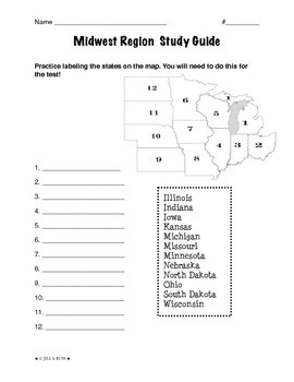
Regions of the United States: Midwest, Study Guide (5 Regions)
This is a 2-page study guide. It includes one page to help your students learn to label the Midwest states on a map. Also includes a page to help learn the state capitals and the state abbreviations.This is an activity that goes along with my resource, Regions of the United States: Midwest, Complete Unit (5 Regions)"The Midwest Region" is a 6-page packet that can be used as a "textbook chapter" when teaching about the five regions of the United States. In the Regions of the United States: Midw
Subjects:
Grades:
3rd - 6th
Types:
Showing 1-24 of 14,000+ results


