1,508 results
Middle school geography posters under $5
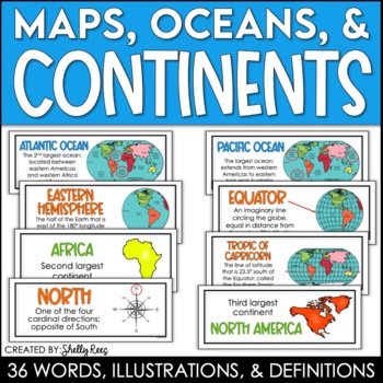
Continents and Oceans Maps and Posters | Geography and Maps Word Wall
Continents and Oceans and Map Skills can be fun to teach, especially when you have this great set of word wall cards. Each card includes the word, definition, and a clear, colorful illustration. Make a great bulletin board in just minutes!Click HERE to save 20% with the Continents, Oceans, and Map Skills BUNDLE!Please click on the PREVIEW above to get a clear picture of everything included.PERFECT for visually reinforcing landform vocabulary!This helpful continents, oceans, and maps word wall se
Grades:
2nd - 8th
Also included in: Maps, Continents and Oceans, Landforms, and Map Skills Bundle
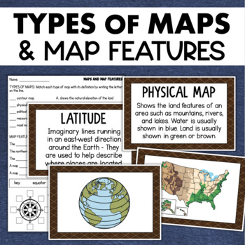
Types of Maps Map Features Skills Geography Posters Social Studies Assessment
Students will learn about different types of maps and common map features with this social studies resource. It includes 17 visuals/posters plus a worksheet/assessment.MAPS POSTERSThese can be kept together as a single page or cut apart into separate cards for display or a matching activity. The top of each card has the title and definition, and the bottom has a full-color illustration. WORKSHEETThis activity requires students to match the types of maps to their purpose, know the function of var
Subjects:
Grades:
3rd - 6th
Types:
Also included in: Geography Landforms & Bodies of Water Types of Maps Map Elements Posters
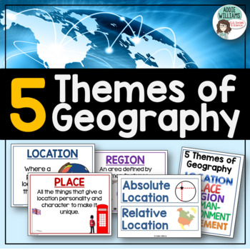
Five Themes of Geography Posters and Word Wall
Five Themes of Geography Poster and Word Wall Set - includes 16 posters and 16 word wall strips! One poster and word wall strip for each of the five themes and their sub-topics! Great way to help students remember and learn to apply the Five Themes!Location - Absolute and RelativePlace - Human and PhysicalRegion - Formal, Functional, and VernacularHuman Environment Interaction - Adapt, Depend, and InteractMovement Also, check out FREE Five Themes of Geography ProjectAddie Williams
Subjects:
Grades:
6th - 10th
Types:
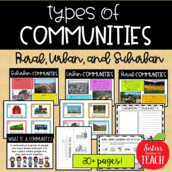
Types of Communities │Rural, Urban, & Suburban
This is the perfect bundle to use when teaching your students about the different types of communities (rural, suburban, and urban)! Your students will enjoy these hands on activities and task cards, which are great to use in centers. Posters are also provided for your students to refer to. Included in this bundle:-"What is a Community" Poster-Rural Communities Poster-Urban Communities Poster-Suburban Communities Poster-Rural, Urban, and Suburban Picture Cards (1 page each, 4 images to a page)-R
Subjects:
Grades:
K - 6th
Types:
Landforms and Bodies of Water Posters and Word Wall
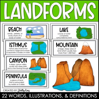
Landforms and bodies of water can be fun and easy to teach, especially when you have this beautiful set of word wall cards. Each card includes the word, definition, and a clear, colorful illustration. EASILY make an amazing landforms wall display in minutes!Click HERE to save 20% with the Continents, Oceans, Maps, and Landforms BUNDLE!Please click on the PREVIEW above to get a clear picture of everything included.This complete landform word wall set includes 22 vocabulary posters:basinbaybeachca
Grades:
3rd - 6th
Also included in: Maps, Continents and Oceans, Landforms, and Map Skills Bundle
Ancient Civilizations GRAPES Posters Ancient Greece Ancient Rome Ancient China
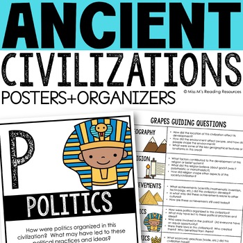
Help your students learn and organize info about ancient civilizations with these G.R.A.P.E.S. posters, guiding questions, and graphic organizers! The GRAPES Ancient Civilizations Poster and Graphic Organizer Set is an easy acronym to organize information for the basic traits of ancient civilizations. G.R.A.P.E.S. is an acronym for:G- GeographyR- ReligionA- AchievementsP- PoliticsE- EconomicsS- Social StructureGRAPES is an effective way to learn and organize information about different civilizat
Grades:
6th - 8th
World Map Continents and Oceans | Black and White | Coloring Sheet
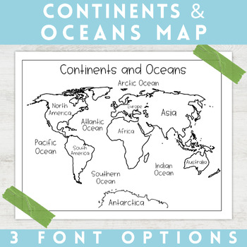
Enhance your minimalist classroom with these Black and White World Map with labeled Continents and Oceans!These black and white world map features each of the 7 continents and 5 oceans accurately labeled. These maps are great to print out, laminate, and hang up in a minimalist or neutral classroom. These maps are also great to print out and make copies for students to color! Please feel free to make copies of this resource for your students, or for your own kiddos.Updated 5/29/2024: There are no
Grades:
PreK - 9th
Types:
13 Colonies Map Project (8.5x11)
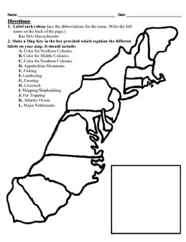
This project has three different differentiated levels for different levels of students, or to have them work up to... This project is set-up to print on 8.5x11 sheets of paper. In the first tier (the easiest), the students are given a map of the thirteen colonies and have to label each colony and then color the Northern/North Eastern Colonies, the Middle Colonies and the Southern Colonies different colors in a map key they create. In the second tier (medium difficulty), the students have to la
Subjects:
Grades:
3rd - 12th
Types:
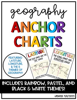
Latitude & Longitude + 5 Themes of Geography Anchor Charts
Latitude and Longitude are tricky concepts to teach! I print mini copies of these out for my students to place in their interactive notebooks and I have large copies hanging in my classroom as a reference guide. I have also included my 5 Themes of Teography reference charts as well.
Grades:
4th - 12th
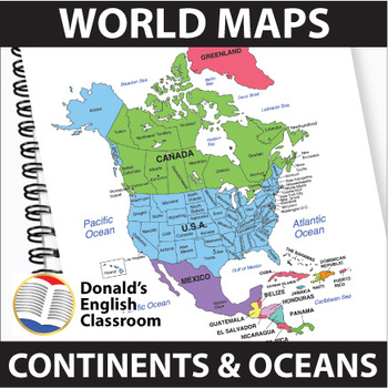
World Maps Continent and Ocean Maps ESL ELL Newcomer
Elevate your classroom with these vibrant and user-friendly World Maps, designed to captivate and inspire your students on their journey to mastering map skills! Boasting a spectrum of colors and clear readability, these 22 maps come both with and without name labels, providing versatility for various teaching approaches. Also included are black-and-white outlined versions, allowing your students to add their personal touch by coloring and labeling. A perfect blend of educational and creative e
Subjects:
Grades:
6th - 9th
Also included in: ESL High School Adult Giga Bundle Black and White ESL ELL Newcomer
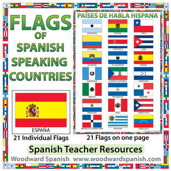
Flags of Spanish-speaking Countries
Flags of the 21 Spanish-speaking countries.
These flags are perfect for decorating the Spanish classroom. You may also want to laminate the flags and use them as large flashcards.
There are 21 individual flags of the following Spanish-speaking countries: Argentina, Bolivia, Chile, Colombia, Costa Rica, Cuba, Ecuador, El Salvador, España, Guatemala, Guinea Ecuatorial, Honduras, México, Nicaragua, Panamá, Paraguay, Perú, Puerto Rico, República Dominicana, Uruguay, Venezuela.
Each flag is on its
Subjects:
Grades:
1st - 12th, Adult Education
Also included in: Spanish Bundle – Spanish-speaking Countries and Capitals
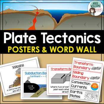
Plate Tectonics Posters - Volcanoes, Plate Boundaries, & Earthquake Faults
Plate Tectonics, Volcanoes, Earthquakes, and More! 24 posters and 30 word-wall strips to use in a plate tectonics unit to help your students learn and review the main concepts.Includes:- Types of volcanoes (Composite/stratovolcano, shield, cinder cone)- Plate Boundaries (Divergent, convergent... posters for each type)- Earthquakes & Faults (Normal, reverse, strike-slip/transform, focus, epicenter)Posters can be printed in black/white or in color! They look great laminated and posted on the w
Subjects:
Grades:
7th - 10th
Types:
Landforms and Bodies of Water Posters Geography Skills Vocabulary Worksheet
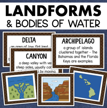
Give your landforms and bodies of water unit a visual boost with this set of illustrated examples! Students will get to SEE what each landform or water body looks like and better understand their features.WHAT YOU WILL GETThis resource contains 24 visuals plus a digital assessment. Each page includes an illustration of the landform or body of water along with the title and definition. Includes:archipelagobaybeachbuttecanalcanyoncavecliffdeltaduneglacierhillislandisthmuslakemesamountainoceanpenin
Grades:
4th - 7th
Also included in: Geography Landforms & Bodies of Water Types of Maps Map Elements Posters
GEOGRAPHY | 50 U.S. State Maps Outlines (K-12)
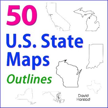
GEOGRAPHY | 50 U.S. State Maps Outlines (K-12). Map outlines for all American occasions: history, physical, political, or specialty. Ideal for reports, labeling, or patriotic projects. Unfortunately, maps will not create a scaled puzzle. Preview same as Download.About the collection:Files are 8.5" x 11" in PDF & PNG. Product purchase is for organizational services. Maps are compiled from various free online sources and clarity is not always consistent. Please view Preview to see if maps mee
Grades:
K - 12th
Types:
Also included in: Top 20 Best Sellers
Mapping Skills Anchor Charts (World Geography Anchor Charts), Posters, Google
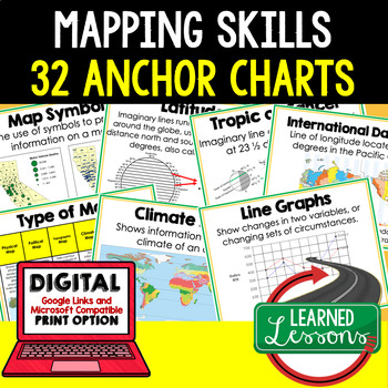
Mapping Skills Anchor Charts (Great as Bellringers, Word Walls, and Concept Boards), Mapping Skills Posters, Geography Review Pages, Digital Activity via Google Classroom This bundle will take your through the entire Geography curriculum. It will include all components of Geography. This is perfect for traveling around the world in style. THIS IS ALSO PART OF World Geography MEGA BUNDLE, Mapping Skills BUNDLE, Geography ANCHOR CHART BUNDLE Anchor charts are great for representing the topics
Grades:
6th - 12th
Latitude and Longitude Activities | Map Skills Worksheets Posters Presentation
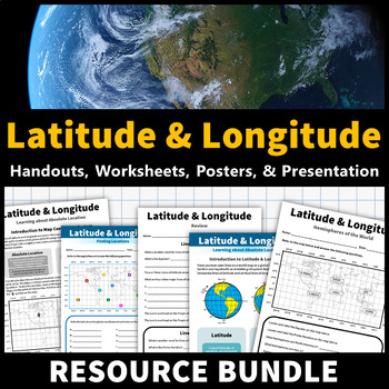
Learning about latitude and longitude is fun and easy with this resource bundle! This ready-to-use no prep value bundle teaches students about latitude and longitude, the hemispheres of the world, major lines of latitude and longitude (Equator, Prime Meridian, Tropic of Cancer and Capricorn, Arctic and Antarctic Circle), and finding locations using geographic coordinates! This bundle includes: Four handouts introducing latitude and longitude, the world's hemispheres, absolute and relative locati
Grades:
5th - 9th
Types:
CCSS:
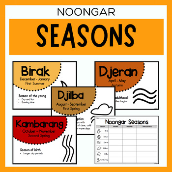
Noongar Australian Aboriginal Seasons Calendar & Worksheet - Nyoongar
✏️ Celebrate the rich cultural heritage of the Noongar Indigenous Aboriginal Australians with our Seasons Calendar & Worksheet! This comprehensive resource includes 7 display posters (with an alternate spelling of Nyoongar) and a worksheet to help students learn about the traditional Noongar seasons. With a link to the Indigenous Weather Map, this resource is an excellent tool to support teaching and learning about Indigenous culture and weather patterns. What's Included?7 Display Posters (+
Subjects:
Grades:
PreK - 12th
Also included in: Noongar Vocabulary Bundle | Aboriginal Language Resource
Why Study Geography? Geography Icebreaker Primary Source Activity
This highly-engaging "why study geography" lesson engages students on the study of geography, why it is important, and why we should study it. This resource is an outstanding way to start your year as it promotes critical thinking, requires analysis, and sets the framework for studying history and social studies throughout your school year. This lesson mirrors my very popular and best selling "why study history" resource.** A new Google 1:1 version is now included in this product that is optimi
Grades:
6th - 10th
Types:
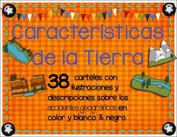
Landforms in spanish - Caracteristicas de la Tierra o Accidentes geograficos
Landforms in spanish / accidentes geograficos: 166 - total pack of spanish posters, writing sheets, & task cards with terms, definitions, illustrations and titles in color and BW. Use them for your bilingual class. Display them in your social studies content wall, around your room, or during Landforms instruction.Included in this product:*76 illustrated posters with definitions and posters with title + illustration (also in black white for printer friendly printing)*18 study cards with title
Subjects:
Grades:
1st - 6th
Types:
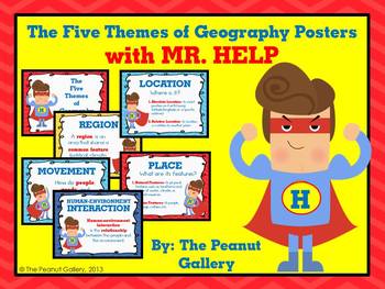
The Five Themes of Geography Posters (with MR. HELP)
{Key Words: Geography; Themes of Geography; Five Themes of Geography; Movement; Region; Human Environment Interaction; Location; Place}Sometimes all it takes is something comical, silly, or colorful for students to remember a concept. These posters for the five themes of geography reinforce concepts to students on posters with colorful, fun graphics that will grab their attention.The set uses the mnemonic device MR. HELP and includes a heading poster and poster for each theme with a very brief d
Grades:
3rd - 7th
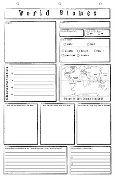
Biome Poster Template
The World Biome template was designed as a strategy for visual learners to make connections in reporting through a graphic organizer. The template also includes the social studies concepts of the human environment interaction encouraging students to look for ways humans are contributing to change in the world. It is printed on 11x17 inch paper and designed so that after it is three hole punched at the top it can be inserted into a 3 ring spiral notebook or 3 prong pocket folder then folded insid
Subjects:
Grades:
4th - 6th
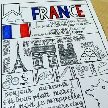
France Graphic Organizer & Coloring Pages - France Country Fact Sheet
Studying France? Don't miss this France graphic organizer and paired coloring pages, which will help your students learn the basics in a creative and engaging way. Perfect for interactive notebooks, bulletin boards, or as a standalone resource, this France country fact sheet provides an interactive and educational experience for your French country study!✔ Check out the preview for a closer look!From learning basic information to coloring icons that showcase the essence of France, this resource
Subjects:
Grades:
2nd - 8th
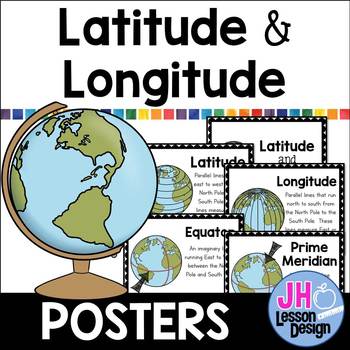
Latitude and Longitude Posters
This set of adorable Latitude and Longitude Posters are perfect for your bulletin board or word wall.
Posters Included:
Latitude
Longitude
Equator
Prime Meridian
8.5 X 11 posters included
Color and Black & White versions included.
Subjects:
Grades:
3rd - 6th
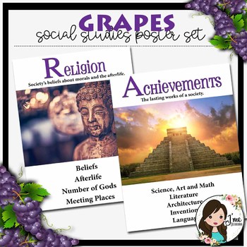
GRAPES Social Studies Posters {White Edition}
Update your classroom with these rich posters depicting the 6 areas of social studies. Posters are created in high definition to make enlarging and shrinking crisp and clear. Posters come in 8x10 and 11x14 sizes. This set also includes a graphic organizer (with and without clip art)- perfect for bullet journals or interactive notebooks. In addition, two different sets of bookmarks are included; one in color and one for students to color themselves. Looking for something more BOLD? Tr the GRAPES
Grades:
6th - 8th
Showing 1-24 of 1,508 results


