334 results
8th grade geography interactive notebooks for Google Apps
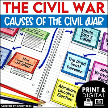
Causes of the Civil War | Civil War Map and Timeline DIGITAL and PRINTABLE
Students are fully engaged in learning about the causes of the Civil War with this interactive packet. The hands-on approach of this resource, including a timeline, foldables, map activity, bulletin board, and more, will help your students learn and understand the cause and effect relationships of events in this period of history!Click the PREVIEW above to see this resource in greater detail!Click here and SAVE 20% by buying ALL 15 Social Studies Interactive Notebooks and Mini Units in one Year
Grades:
5th - 8th
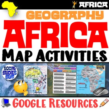
Geography of Africa Map Practice Activities | Print and Digital | Google
End the cycle of bored students copying from books to label maps! Your classes think critically with these digital, interactive, geography activities. First, students answer questions about Africa by analyzing various physical & political maps of the region. Then, a drag & drop challenge assesses their learning of the locations. This resource also includes a printable worksheet that takes labeling maps to the next level! They create a map using only absolute & relative location clues
Subjects:
Grades:
5th - 12th
CCSS:
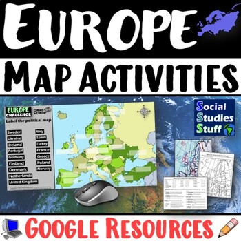
Geography of Europe Map Practice Activities | Print and Digital | Google
End the cycle of bored students copying from books to label maps! Your classes think critically with these digital, interactive, geography activities. First, students answer questions about Europe by analyzing various physical & political maps of the region. Then, a drag & drop challenge assesses their learning of the locations. This resource also includes a printable worksheet that takes labeling maps to the next level! They create a map using only absolute & relative location clues
Subjects:
Grades:
5th - 12th
CCSS:
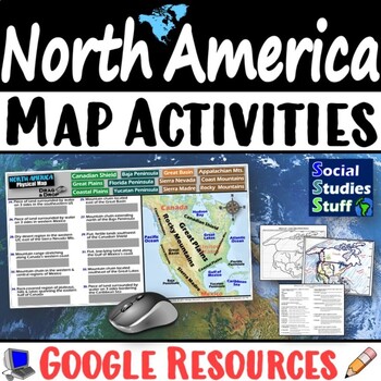
Geography of North America Map Practice Activities | USA Canada Mexico | Google
End the cycle of bored students copying from books to label maps! Your classes think critically with these digital, interactive, geography activities. First, students answer questions about North America by analyzing various physical & political maps of the region. Then, a drag & drop challenge assesses their learning of the locations. This resource also includes a printable worksheet that takes labeling maps to the next level! They create a map of the United States, Canada, and Mexico u
Subjects:
Grades:
5th - 12th
CCSS:
What is Culture? 5-E Intro Lesson | FUN Cultural Traits Activity | Google
This fun, intro lesson challenges your class to explore what culture means and ways cultures vary worldwide. The activities are engaging for students & the guided, 5-E format is easy for you to use! Begin with a fun “What in the World?” warm-up activity featuring Manu Martian, an alien who has crash-landed and is utterly confused. Examine culture and cultural traits through his observations of Earthlings, then introduce key vocabulary and concepts. Fill-in notes accompany the lesson. Next, s
Grades:
5th - 12th
CCSS:
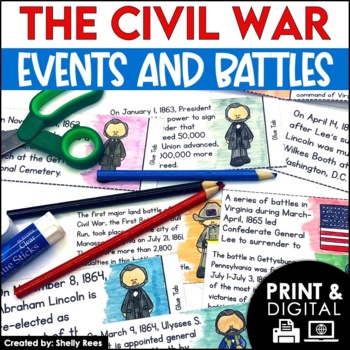
Civil War Battles and Events Project Timeline and Bulletin Board
Your students will be fully engaged in learning about the Civil War battles and events with this interactive packet. The hands-on activities, including foldables, timeline, and bulletin board, of this resource will help your students learn and understand the events of the Civil War.Please click the PREVIEW button above to get a closer look at everything included! Click here and SAVE 20% by buying ALL 15 Social Studies Interactive Notebooks and Mini Units in one Year-Long Bundle.This resource in
Grades:
5th - 8th
Types of Maps 5-E Lesson and WalkAround | Geography Skills Practice | Google
This engaging 5-E lesson covers parts of a map, types of maps, and reading maps The activities are engaging for students & the guided, 5-E format is easy for you to use! Begin with a fun “Create a Map” warm-up activity to help them visualize the big ideas. Then, introduce vocabulary & practice applying the concepts with a “Name that Map” activity. Fill-in notes accompany the lesson. Next, a “GSI: Geography Scene Investigation” challenges students to identify types of maps, then examine t
Subjects:
Grades:
4th - 8th
US United States Physical Geography North America Map Activities Scavenger Hunt
Start the year in the United States (US) history unit with a fun, student-centered, inquiry-based Google Geography Map Activity and Scavenger Hunt! This comprehensive Google United States Geography lesson has been both student and teacher-approved with an overwhelming thumbs-up! It embodies all of the cool geography capabilities of Google Maps and/or Google Earth in a digital US geography interactive notebook format complete with a Google Forms physical geography assessment at the end.In this i
Subjects:
Grades:
4th - 10th
Types:
Cultural Diffusion and Globalization 5-E Lesson | McDonalds in India | Google
This student-favorite lesson explores cultural diffusion and its effects on our world. The activities are engaging for students & the guided, 5-E format is easy for you to use! Begin with a fun “Name It” warm-up activity. Explore how culture is shared and adapted globally, then introduce key vocabulary. Fill-in notes accompany the lesson. A photo analysis activity challenges your class to compare McDonalds in India to the United States. Finally, a reading comprehension activity investigates
Grades:
6th - 12th
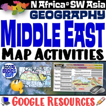
Middle East Map Practice Activities | SW Asia & North Africa Geography | Google
End the cycle of bored students copying from books to label maps! Your classes think critically with these digital, interactive, geography activities. First, students answer questions about the Middle East by analyzing various physical & political maps of the region. Then, a drag & drop challenge assesses their learning of the locations. This resource also includes a printable worksheet that takes labeling maps to the next level! They create a map of Southwest Asia & North Africa usi
Subjects:
Grades:
5th - 12th
CCSS:
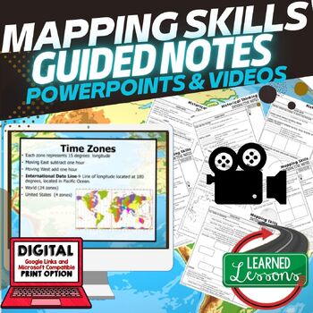
Mapping Skills Historical Thinking Guided Notes PowerPoint Google & Video
World Geography Guided Notes | Mapping Skills Notes and Historical Thinking Notes, Guided Notes and PowerPoints Geography with Video to upload for flipped classroom or distance learningThis Mapping Skills Guided Notes set covers important foundational mapping skills topics such as Geography Overview, Types of Maps, Map Elements, Key Places on Maps, Latitude, Longitude, Time Zones, Climate Zones, Five Themes of Geography, & Biomes. It also includes historical thinking skills topics such as pr
Grades:
5th - 11th
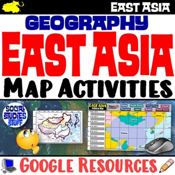
Geography of East Asia Map Practice Activities | Print and Digital | Google
End the cycle of bored students copying from books to label maps! Your classes think critically with these digital, interactive, geography activities. First, students answer questions about East Asia by analyzing various physical & political maps of the region. Then, a drag & drop challenge assesses their learning of the locations. This resource also includes a printable worksheet that takes labeling maps to the next level! They create a map using only absolute & relative location cl
Subjects:
Grades:
5th - 12th
CCSS:
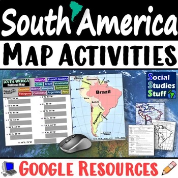
Geography of South America Map Practice Activities | Print and Digital | Google
End the cycle of bored students copying from books to label maps! Your classes think critically with these digital, interactive, geography activities. First, students answer questions about South America by analyzing various physical & political maps of the region. Then, a drag & drop challenge assesses their learning of the locations. This resource also includes a printable worksheet that takes labeling maps to the next level! They create a map using only absolute & relative locatio
Subjects:
Grades:
5th - 12th
CCSS:
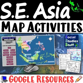
Geography of Southeast Asia Map Practice Activities | SE Asia Region | Google
End the cycle of bored students copying from books to label maps! Your classes think critically with these digital, interactive, geography activities. First, students answer questions about Southeast Asia by analyzing various physical & political maps of the region. Then, a drag & drop challenge assesses their learning of the locations. This resource also includes a printable worksheet that takes labeling maps to the next level! They create a map using only absolute & relative locati
Subjects:
Grades:
5th - 12th
CCSS:
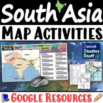
South Asia Map Practice Activities | India Geography | Print & Digital | Google
End the cycle of bored students copying from books to label maps! Your classes think critically with these digital, interactive, geography activities. First, students answer questions about South Asia by analyzing various physical & political maps of the region. Then, a drag & drop challenge assesses their learning of the locations. This resource also includes a printable worksheet that takes labeling maps to the next level! They create a map of India using only absolute & relative l
Subjects:
Grades:
5th - 12th
CCSS:
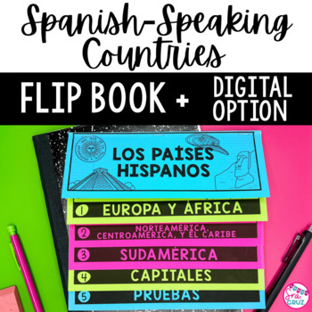
Spanish Speaking Countries and Capitals Flip Book Maps Practice Quizzes
This flip book is a great organizational tool for students who are learning the locations of Spanish-Speaking Countries and their capitals. It includes a no-cut, no-waste printable flip book, as well as a digital version for Google Slides for paperless or distance learning.Includes the following:✅ No cut, no waste, 6 page / 3 pieces of paper printable flip book✅ Digital flip book in Google Slides for paperless or distance learning✅ Western Europe map to label Spain✅ West Africa map to label Equa
Subjects:
Grades:
7th - 10th
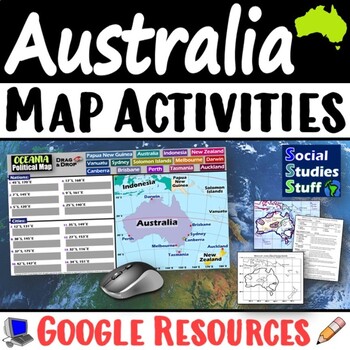
Geography of Oceania Map Practice Activities | Australia Region | Google
End the cycle of bored students copying from books to label maps! Your classes think critically with these digital, interactive, geography activities. First, students answer questions about Australia & Oceania by analyzing various physical & political maps of the region. Then, a drag & drop challenge assesses their learning of the locations. This resource also includes a printable worksheet that takes labeling maps to the next level! They create a map using only absolute & relati
Subjects:
Grades:
5th - 12th
CCSS:
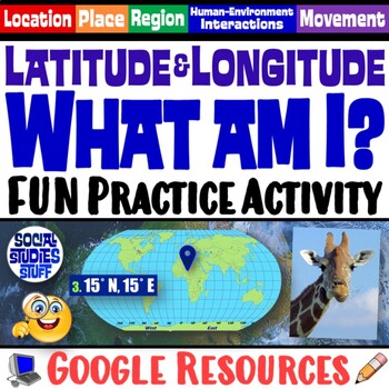
FUN Latitude Longitude Practice Activity | Geography Location Clues | Google
Students & teachers LOVE this digital “What am I?” activity! Challenge your class to use latitude & longitude coordinates to plot the locations of mystery animals on a world map. Then, they read clues & try to guess what animal lives at each absolute location. This activity integrates science & social studies curriculum and keeps your students highly engaged. Your purchase has print & interactive, digital versions of the materials. Made for traditional in-class learning or di
Subjects:
Grades:
4th - 8th
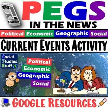
Current Events Activity and Worksheet | PEGS Factors in the News | Google
Challenge students to follow current events and discover PEGS (Political, Economic, Geographic, Social) factors in the news. They watch or read the news, identify examples of stories that represent each PEGS factor, summarize the main ideas, then justify their decisions. Includes links to websites and a PEGS reference chart for interactive notebooks. This activity can be assigned regularly throughout the year, so students stay informed & connect the real world to your classroom. Social Studi
Grades:
5th - 12th
CCSS:
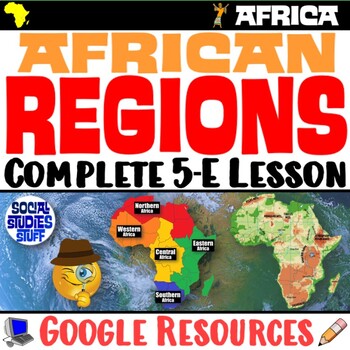
The Five Regions of Africa 5-E Lesson | African Geography and Culture | Google
This lesson examines the five regions of Africa by exploring the continent’s diverse cultures & geography. The activities are engaging for students & the guided, 5-E format is easy for you to use! Fill-in notes accompany the lesson. Begin with a fun “Rank It - Continents” warm-up. Then, a “Divide It” activity challenges your class to examine 4 thematic maps to determine how best to divide Africa into 5 regions. Next, students create labeled maps featuring the 5 regions of Africa. An “Inv
Grades:
6th - 12th
CCSS:
East Asia Guided Notes & PowerPoints World Geography Guided Notes
World Geography Guided Notes | Geography of East Asia Guided Notes and PowerPoints, Digital Distance Learning & Print covers physical geography of East Asia, Cultural Geography of East Asia, History of East Asia, Modern East Asia, & Facts about East Asia. World Geography Guided Notes, Interactive Notebook, Note Taking, PowerPoints, Anticipatory GuidesThese interactive guided notes and PowerPoints are great for the teacher input section of the lesson. Students can use these notes to com
Grades:
5th - 11th
Southeast Asia Guided Notes & PowerPoints, World Geography Guided Notes
World Geography Guided Notes | Geography of Southeast Asia Guided Notes and PowerPoints, Digital Distance Learning & Print covers physical geography of Southeast Asia, Cultural Geography of Southeast Asia, History of Southeast Asia, Modern Southeast Asia, & Facts about Southeast Asia. World Geography Guided Notes, Interactive Notebook, Note Taking, PowerPoints, Anticipatory GuidesThese interactive guided notes and PowerPoints are great for the teacher input section of the lesson. Stude
Grades:
5th - 11th
Also included in: Southeast Asia BUNDLE, World Geography Bundle, Digital Learning & Print
Sub-Saharan Africa Notes & PowerPoints World Geography Guided Notes
Geography of Sub-Saharan Africa Guided Notes and PowerPoints, Digital Distance Learning & Print covers physical geography of Africa, Cultural Geography of Africa, History of Africa, Modern Africa, & Facts about Africa.World Geography Guided Notes, Interactive Notebook, Note Taking, PowerPoints, Anticipatory GuidesThese interactive guided notes and PowerPoints are great for the teacher input section of the lesson. Students can use these notes to complete assignments, as study guides, an
Grades:
5th - 11th
Also included in: Sub-Saharan Africa BUNDLE (World Geography BUNDLE), Digital & Print
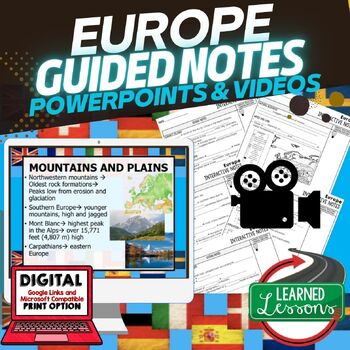
Europe Guided Notes & PowerPoints World Geography Guided Notes
Europe Notes, Europe Geography Guided Notes and PowerPoints, Digital Distance Learning & Print covers physical geography of Europe, Cultural Geography of Europe, History of Europe, Modern Europe, & Facts about Europe.World Geography Guided Notes, Interactive Notebook, Note Taking, PowerPoints, Anticipatory GuidesThese interactive guided notes and PowerPoints are great for the teacher input section of the lesson. Students can use these notes to complete assignments, as study guides, and
Grades:
5th - 11th
Showing 1-24 of 334 results


