25 results
Middle school african history poster microsofts
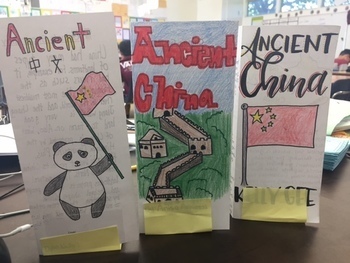
Ancient China Brochure
Students review everything they learned about Ancient China by creating a travel brochure. The lesson includes a brochure template with each labels for each topic to cover. Directions tell them specifically what to include in each section. The entire lesson is editable so you can adapt the topics to fit your textbook.
Grades:
5th - 8th
Types:
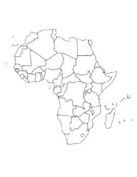
Global/U.S. - Maps Databank - Africa
40 pages of maps related to the continent of Africa. This databank of maps can be used for a variety of purposes depending on your lesson. Some examples of the types of maps included (but not limited to) are:- Political maps- Physical maps- Blank political maps- Vegetation Zone maps- Climate maps- Precipitation Rate maps- Satellite maps- Economic maps- Wealth / GDP maps- Resource / Land Use maps- Religion / language / ethnicity maps- Population density maps- Flag maps- Historical maps related to
Grades:
1st - 12th, Higher Education, Adult Education, Staff
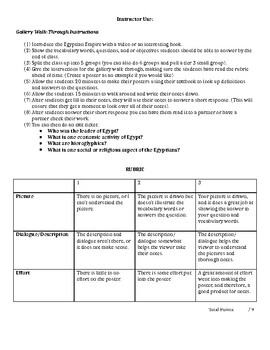
Ancient Egyptian Gallery Walk
Looking for an activity that has group work, getting students up off of their feet, and has engaging note taking! This is it! Students have directions and a rubric on how to make fun engaging posters on the main aspects of Ancient Egyptian Life (the pyramids, government, the Nile, social/ religious, and economic activities). Once they make their posters they will post them around the room and then students will take their notes on Ancient Egypt based upon what they see. I also include a short wr
Grades:
4th - 12th
Types:
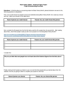
Black History Month Celebration - Historical Figure Project
This Historical Figure Project could be used during any time during the school year, where you are asking students to learn about, study and explore the lives of historical figures. I have chosen to make this a celebration of the lives and work of historical figures during Black History Month. In this project, I am asking students to complete their final project on Canva, however Google docs/slides or Microsoft Powerpoint could work just as well. In this assignment students are asked to brain
Grades:
6th - 8th
Black History Month Guess Who
I post this in the hallway. Each day in February, I have a new person and the students have to guess who the mystery person is. There is a picture and a description for each person.
Grades:
2nd - 9th
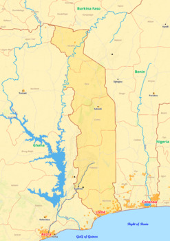
Togo map with cities township counties rivers roads labeled
Togo map with cities township counties rivers roads labeledTogo map is a type of map that includes geographical features such as towns, communes, counties, rivers and roads. These features are labelled with their respective names, allowing the user to easily identify them.This type of map is useful for anyone wishing to explore the country or better understand its geography.This download contains files that may be printed and copied or used digitally._____________________________________________
Grades:
4th - 8th, Higher Education
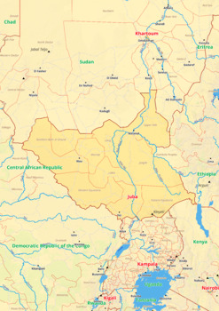
South Sudan map with cities township counties rivers roads labeled
South Sudan map with cities township counties rivers roads labeledSouth Sudan map is a type of map that includes geographical features such as towns, communes, counties, rivers and roads. These features are labelled with their respective names, allowing the user to easily identify them.This type of map is useful for anyone wishing to explore the country or better understand its geography.This download contains files that may be printed and copied or used digitally._______________________________
Grades:
4th - 9th, Higher Education
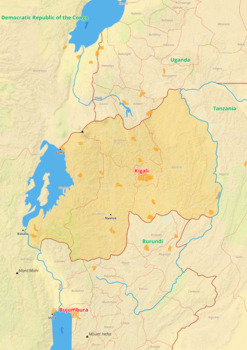
Rwanda map with cities township counties rivers roads labeled
Rwanda map with cities township counties rivers roads labeledRwanda map is a type of map that includes geographical features such as towns, communes, counties, rivers and roads. These features are labelled with their respective names, allowing the user to easily identify them.This type of map is useful for anyone wishing to explore the country or better understand its geography.This download contains files that may be printed and copied or used digitally._________________________________________
Grades:
4th - 9th, Higher Education
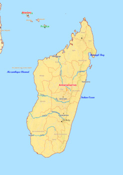
Madagascar map with cities township counties rivers roads labeled
Madagascar map with cities township counties rivers roads labeledMadagascar map is a type of map that includes geographical features such as towns, communes, counties, rivers and roads. These features are labelled with their respective names, allowing the user to easily identify them.This type of map is useful for anyone wishing to explore the country or better understand its geography.This download contains files that may be printed and copied or used digitally._________________________________
Grades:
4th - 8th, Higher Education
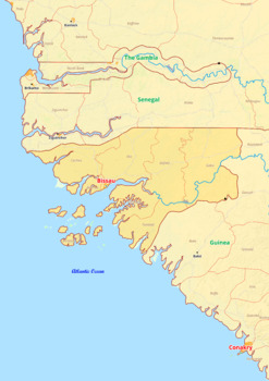
Guinea - Bissau map with cities township counties rivers roads labeled
Guinea-Bissau map with cities township counties rivers roads labeledGuinea Bissau map is a type of map that includes geographical features such as towns, communes, counties, rivers and roads. These features are labelled with their respective names, allowing the user to easily identify them.This type of map is useful for anyone wishing to explore the country or better understand its geography.This download contains files that may be printed and copied or used digitally.___________________________
Grades:
4th - 8th, Higher Education
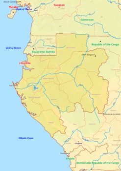
Gabon map with cities township counties rivers roads labeled
Gabon map with cities township counties rivers roads labeledGabon map is a type of map that includes geographical features such as towns, communes, counties, rivers and roads. These features are labelled with their respective names, allowing the user to easily identify them.This type of map is useful for anyone wishing to explore the country or better understand its geography.This download contains files that may be printed and copied or used digitally.___________________________________________
Grades:
4th - 8th, Higher Education
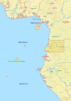
Equatorial Guinea map with cities township counties rivers roads labeled
Equatorial Guinea map with cities township counties rivers roads labeledEquatorial Guinea map is a type of map that includes geographical features such as towns, communes, counties, rivers and roads. These features are labelled with their respective names, allowing the user to easily identify them.This type of map is useful for anyone wishing to explore the country or better understand its geography.This download contains files that may be printed and copied or used digitally.___________________
Grades:
4th - 8th, Higher Education
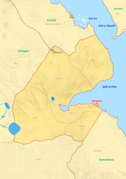
Djibouti map with cities township counties rivers roads labeled
Djibouti map with cities township counties rivers roads labeledDjibouti map is a type of map that includes geographical features such as towns, communes, counties, rivers and roads. These features are labelled with their respective names, allowing the user to easily identify them.This type of map is useful for anyone wishing to explore the country or better understand its geography.This download contains files that may be printed and copied or used digitally._____________________________________
Grades:
4th - 8th, Higher Education
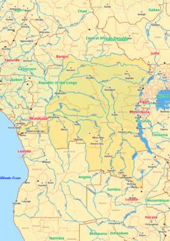
Democratic Republic of the Congo map with cities township counties rivers roads
Democratic Republic of the Congo map with cities township counties rivers roads labeledDemocratic Republic of the Congo map is a type of map that includes geographical features such as towns, communes, counties, rivers and roads. These features are labelled with their respective names, allowing the user to easily identify them.This type of map is useful for anyone wishing to explore the country or better understand its geography.This download contains files that may be printed and copied or used
Grades:
4th - 8th, Higher Education
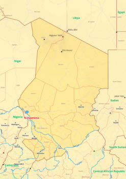
Chad map with cities township counties rivers roads labeled
Chad map with cities township counties rivers roads labeledChad map is a type of map that includes geographical features such as towns, communes, counties, rivers and roads. These features are labelled with their respective names, allowing the user to easily identify them.This type of map is useful for anyone wishing to explore the country or better understand its geography.This download contains files that may be printed and copied or used digitally._____________________________________________
Grades:
4th - 8th, Higher Education
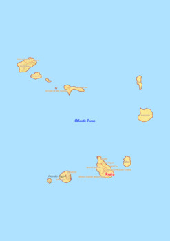
Cape Verde map with cities township counties rivers roads labeled
Cape Verde map with cities township counties rivers roads labeledCape Verde map is a type of map that includes geographical features such as towns, communes, counties, rivers and roads. These features are labelled with their respective names, allowing the user to easily identify them.This type of map is useful for anyone wishing to explore the country or better understand its geography.This download contains files that may be printed and copied or used digitally._________________________________
Grades:
4th - 8th, Higher Education
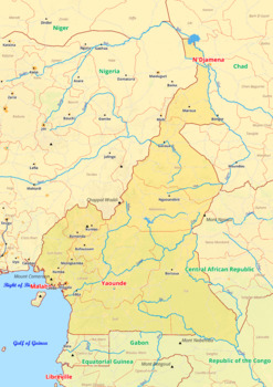
Cameroon map with cities township counties rivers roads labeled
Cameroon map with cities township counties rivers roads labeledCameroon map is a type of map that includes geographical features such as towns, communes, counties, rivers and roads. These features are labelled with their respective names, allowing the user to easily identify them.This type of map is useful for anyone wishing to explore the country or better understand its geography.This download contains files that may be printed and copied or used digitally._____________________________________
Grades:
4th - 9th, Higher Education
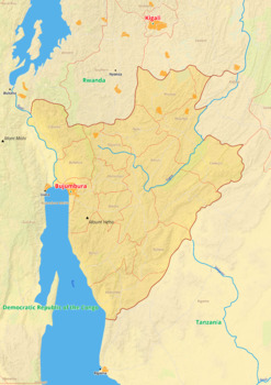
Burundi map with cities township counties rivers roads labeled
Burundi map with cities township counties rivers roads labeledBurundi map is a type of map that includes geographical features such as towns, communes, counties, rivers and roads. These features are labelled with their respective names, allowing the user to easily identify them.This type of map is useful for anyone wishing to explore the country or better understand its geography.This download contains files that may be printed and copied or used digitally._______________________________________
Grades:
4th - 8th, Higher Education
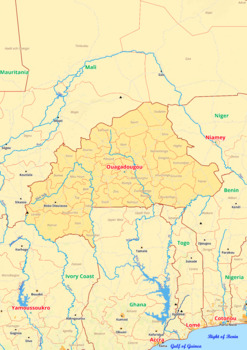
Burkina Faso map with cities township counties rivers roads labeled
Burkina Faso map with cities township counties rivers roads labeledBurkina Faso map is a type of map that includes geographical features such as towns, communes, counties, rivers and roads. These features are labelled with their respective names, allowing the user to easily identify them.This type of map is useful for anyone wishing to explore the country or better understand its geography.This download contains files that may be printed and copied or used digitally._____________________________
Grades:
4th - 8th, Higher Education
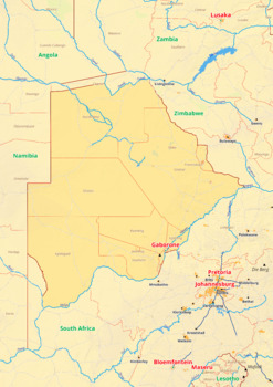
Botswana map with cities township counties rivers roads labeled
Botswana map with cities township counties rivers roads labeledBotswana map is a type of map that includes geographical features such as towns, communes, counties, rivers and roads. These features are labelled with their respective names, allowing the user to easily identify them.This type of map is useful for anyone wishing to explore the country or better understand its geography.This download contains files that may be printed and copied or used digitally._____________________________________
Grades:
4th - 8th, Higher Education
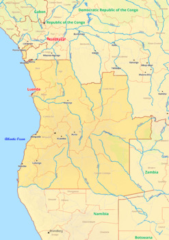
Angola map with cities township counties rivers roads labeled
Angola map with cities township counties rivers roads labeledThe Angola map shows the entire country, including its cities, townships, counties, rivers, and roads. Major cities are labeled and include the capital city of Luanda, as well as Lobito, Benguela, Huambo, and Lubango. Townships are labeled and include the provinces of Bengo, Cabinda, and Zaire. Counties are labeled and include the provinces of Kwanza Norte, Kwanza Sul, and Uige. Major rivers are labeled and include the Kwanza and the Z
Grades:
4th - 8th, Higher Education
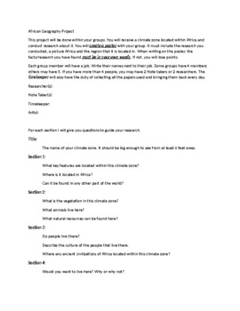
Africa Geography Poster Directions and Rubric
My 6th grade students are learning about the Geography of Africa before we jump into the civilizations of Sub-Saharan Africa. Most of my students ESL, SPED and have lower reading levels. This project was very helpful for all students to understand the geography of Africa. The guided questions helped the students with their research and by working in groups with assigned "jobs" every student was able to contribute to their poster. The groups also loved that their posters were hung up around the r
Grades:
5th - 7th

Islam in West Africa - Gallery Walk Presentation
This is a presentation meant to be printed and hung at stations around the classroom for students to do a "Gallery Walk" activity. It teaches about many aspects of Medieval West African culture and how they were changed through the cultural diffusion that came with the spread of Islam into the region.
Grades:
6th - 8th
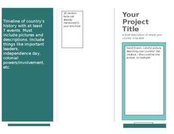
Country Brochure Project
This is something I created for my 9th grade Global Studies Class as part of a Final for our Africa Unit!
Grades:
7th - 10th
Showing 1-24 of 25 results


