746 results
Adult education geography handouts
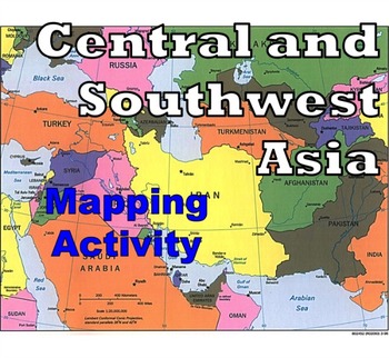
Central and Southwest Asia (Middle East) - Mapping Activity
Map Activity – Central and Southwest AsiaIn this activity, students must locate and identify the countries (and capital cities if so desired) of Central and Southwest (or Middle Eastern) Asia. When students are finished with this, time can be spent coloring in the various countries.Included in this package is a ready-to-copy blackline master map of Central and Southwest Asia along with a separate answer key.This product can also easily be used as a test or quiz.Preview file is available for down
Subjects:
Grades:
4th - 12th, Higher Education, Adult Education
Types:
Also included in: Map Activity Bundle
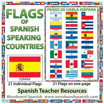
Flags of Spanish-speaking Countries
Flags of the 21 Spanish-speaking countries.
These flags are perfect for decorating the Spanish classroom. You may also want to laminate the flags and use them as large flashcards.
There are 21 individual flags of the following Spanish-speaking countries: Argentina, Bolivia, Chile, Colombia, Costa Rica, Cuba, Ecuador, El Salvador, España, Guatemala, Guinea Ecuatorial, Honduras, México, Nicaragua, Panamá, Paraguay, Perú, Puerto Rico, República Dominicana, Uruguay, Venezuela.
Each flag is on its
Subjects:
Grades:
1st - 12th, Adult Education
Also included in: Spanish Bundle – Spanish-speaking Countries and Capitals
Planet Earth - All 11 Episodes Bundle - Worksheets & Keys - PDF & Digital
These Video Response Worksheets and Keys are based on the BBC documentary series "Planet Earth (Season 1)."(NOTE: These worksheets are based on the British version of Planet Earth [Season 1], narrated by David Attenborough. It uses the metric system and is, at the time of this posting, the version currently showing on Netflix and Amazon.)You will receive a zip file which contains a multi-episode bundle of all 11 Video Response Worksheets and Keys in PDF format and access to all 11 TpT Digital Ac
Subjects:
Grades:
5th - 12th, Adult Education
Types:
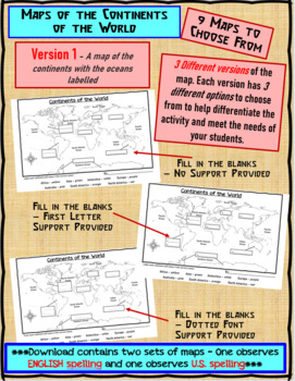
Maps of the Continents of the World For Students to Label and Colour/Color
This download contains 9 maps of the continents of the world (11 x 17 paper) to allow you differentiate your instruction to help meet needs of all students in your classroom as they learn to identify and locate the continents of the world. ***Please note that there are 2 sets of each of the 9 maps – one set observes English Spelling and one set observes U.S. spelling.***This download contains: 1. A map of the continents with the oceans labelled and the continents left blank for students to fill
Subjects:
Grades:
2nd - 7th, Adult Education
Types:
Blue Planet 2 - All 7 Episodes - Worksheets & Keys - PDF & Digital
These Video Response Worksheets and Keys are based on the BBC documentary series "Blue Planet II" as narrated by David Attenborough.You will receive a zip file which contains a multi-episode bundle of all 7 Video Response Worksheets and Keys in PDF format and access to all 7 TpT Digital Activities for students (worksheets only).Video Response Worksheets will turn your history or science lesson into a rich educational experience that keeps students attentive, engaged, and accountable. The questio
Subjects:
Grades:
5th - 12th, Adult Education
Types:
Mankind The Story of All of Us - All 12 Episodes - Worksheets & Keys
These Video Response Worksheets and Keys are based on the the History Channel documentary series "Mankind The Story of All of Us."You will receive a zip file which contains a multi-episode bundle of all 12 Video Response Worksheets and Keys in PDF format and access to all 12 TpT Digital Activities for students (worksheets only).Video Response Worksheets will turn your history lesson into a rich educational experience that keeps students attentive, engaged, and accountable. The questions are desi
Grades:
5th - 12th, Adult Education
Types:
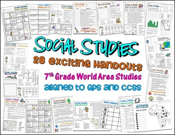
Bundle of 28 Worksheets for 7th Grade Social Studies GPS Georgia
This is a HUGE lot of fun and engaging handouts for students to use in reviewing key information. Included in this package are 28 individual activities, including puzzles, maps, fill-in-the-blank sections, word searches, matching, etc. Most of these items were created to help students review for the end of year test, so they cover a variety of topics and standards.
This is a great way to get your students excited about social studies. I use most of these resources as warm up and closing activi
Grades:
PreK - 12th, Higher Education, Adult Education, Staff
Types:
Our Planet - All 8 Episodes Bundle - Worksheets & Keys - PDF & Digital
These Video Response Worksheets and Keys are based on the BBC documentary series "Our Planet" as narrated by David Attenborough.You will receive a zip file which contains a multi-episode bundle of all 8 Video Response Worksheets and Keys in PDF format and access to all 8 TpT Digital Activities for students (worksheets only).Video Response Worksheets will turn your history or science lesson into a rich educational experience that keeps students attentive, engaged, and accountable. The questions a
Subjects:
Grades:
5th - 12th, Adult Education
Types:
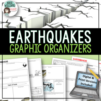
Earthquakes / Faulting Graphic Organizer | Print & Digital
Earthquakes / Faulting Graphic Organizer - A great way for students to organize information on earthquakes and faulting. Instead of asking students to take traditional notes, they fill in the graphic organizer - either as review or instead of standard question and answer in a textbook. Excellent for review or group work. Includes 4 pages of organizers and all answer keys!Also includes a link to a Google™ Slides version of the organizers so students can add text, images, color and more while wo
Subjects:
Grades:
8th - 10th, Higher Education, Adult Education
Also included in: Plate Tectonics / Earthquakes / Volcanoes Organizers | PRINT & DIGITAL
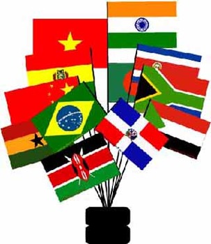
Developing Countries- Text and Exercise Sheets
Developing countries are the poor countries of our world. While most of them are located in many parts of Africa and Asia, some countries in South and Central America are also referred to as developing countries. About 70% of the world’s 7 billion people live in underdeveloped countries.
Contents : 9 pages
-Introduction
-GDP of selected countries
-Characteristics of developing countries
-Exercises
-Key
The sample contains a complete non-printable preview of the whole module (text- and works
Subjects:
Grades:
6th - 12th, Higher Education, Adult Education
Types:
The Blue Planet (2001) - All 8 Episodes Bundle - Worksheets & Keys - PDF/Digital
These Video Response Worksheets and Keys are based on the BBC documentary series "The Blue Planet (2001)" as narrated by David Attenborough.You will receive a zip file which contains a multi-episode bundle of all 8 Video Response Worksheets and Keys in PDF format and access to all 8 TpT Digital Activities for students (worksheets only).Video Response Worksheets will turn your history or science lesson into a rich educational experience that keeps students attentive, engaged, and accountable. The
Subjects:
Grades:
5th - 12th, Adult Education
Types:
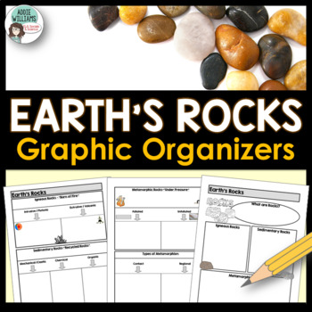
Rock Types Graphic Organizer - Igneous, Sedimentary and Metamorphic
Teaching the different types of rocks? These graphic organizers are a great way for students to learn the differences between igneous, sedimentary, and metamorphic rocks as well as their sub-categories. This resource includes 4 pages of graphic organizers that can be used with notes or while working through a PowerPoint, as review, or for group work. This resource also includes a set of review questions and answer keys.Covers Igneous (intrusive/extrusive), Sedimentary (mechanical/clastic, organ
Subjects:
Grades:
7th - 10th, Adult Education
Also included in: Rocks and Minerals - Types of Rocks, Rock Cycle, Minerals and More!
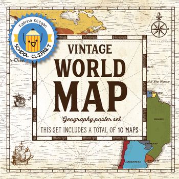
World map and continents: Vintage style geography poster set (10 maps)
World map and continents: vintage style geography poster setThis world and continents set includes a total of 10 maps:• World• Africa• South America• Central America• North America• Europe (2)• Middle East• Asia• OceaniaMaps capture current geographical and political boundaries (as of May 2019) with vintage-style graphics and script. The world map clearly labels continents and oceans. Continent maps label all countries, oceans and include a color-coded country key.These maps are a great addition
Subjects:
Grades:
PreK - 12th, Higher Education, Adult Education, Staff
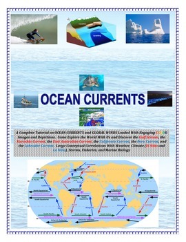
Oceans: Currents and Global Winds (Engaging and Full of COLOR!) Sail the Seas!
Come SAIL THE HIGH SEAS! Image based and cut and paste or laminate and Velcro. Perfect for alternative college prep, special education, and/or autistic students.See preview!AN ADVANCED EL NINO/LA NINA LAB ACTIVITY IS FOUND BELOW FOR ENRICHMENT LEARNING:EL NINO LAB ACTIVITY CLICK HERE-----------------------------------------------------------------------------------------------------------------------------------------------------------A Complete Tutorial on OCEAN CURRENTS and GLOBAL WINDS Loade
Subjects:
Grades:
4th - 9th, Adult Education
Types:
Weather and Climate - Text and Exercise Sheets
Weather is the state of the atmosphere in a certain place at a certain time. Weather always changes and is different all around the world. It depends on many elements . It may be warm and sunny in one place, but cold, windy and rainy somewhere else.Climate refers to the weather conditions in a certain area over a longer period of time.Contents : 16 pagesIntroductionElements of the weatherTemperatureAir pressureHumidityPrecipitationGlobal wind systemsAir massesClimate ZonesWeather forecastingExt
Subjects:
Grades:
6th - 12th, Higher Education, Adult Education
Types:
Planet Earth 2 - All 6 Episodes Bundle - Worksheets and Keys - PDF & Digital
These Video Response Worksheets and Keys are based on the BBC documentary series "Planet Earth 2."(NOTE: These worksheets are based on the British version of Planet Earth 2, narrated by David Attenborough. It uses the metric system and is, at the time of this posting, the version currently showing on Netflix and Amazon. There is another (American) version of Planet Earth II with essentially the same content narrated by Sigourney Weaver that was broadcast on the Discovery Channel. The American ve
Subjects:
Grades:
5th - 12th, Adult Education
Types:
Political World Map (Robinson Projection)
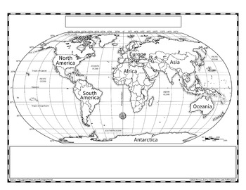
The Robinson projection of the world map is the version that Rand McNally used in their books. This provides a more accurate representation of country size without the confusing nature of an interrupted map, such as the Goode's Projection.
I created this map extra large so that it could be scanned and reduced more accurately, especially when representing the tiny countries. Since this is a hand drawn map, there may be slight errors in the country boundaries, but I have tried to be as accurate a
Grades:
3rd - 12th, Higher Education, Adult Education
Types:
Latitude, Longitude and Time Zones - Text and Exercise Sheets
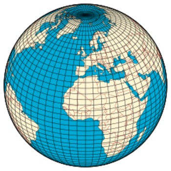
Longitude and latitude are imaginary lines that circle the Earth. They are used to exactly pinpoint where a person or object is located. These lines are on maps and measured in degrees. Each degree is divided into 60 minutes and each minute has 60 seconds.
Contents : 9 pages
-Text
-Exercises
-Key
The sample contains a complete non-printable preview of the whole module (text- and worksheets)
Subjects:
Grades:
6th - 12th, Higher Education, Adult Education
Types:
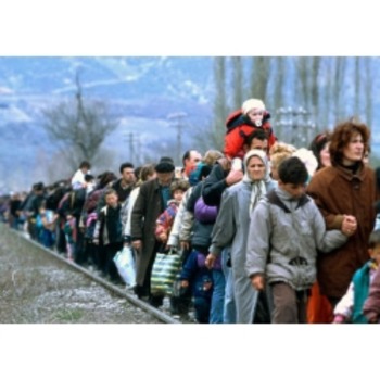
Refugees- Text and Exercise Sheets
Refugees are people who have fled from their country because of wars, political or religious conflicts, or because they fear persecution from governments. Displaced people have lost their home but they remain in their own country.
Contents : 8 pages
-Introduction
-Who is a refugee
-Major refugee movements in history
-Exercises
-Key
The sample contains a complete non-printable preview of the whole module (text- and worksheets)
Subjects:
Grades:
6th - 12th, Higher Education, Adult Education
Types:
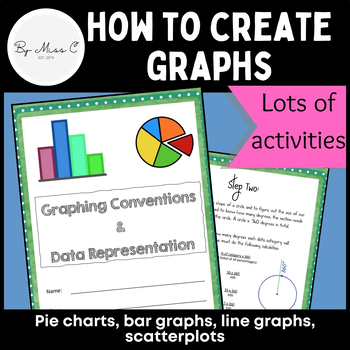
Guide to graphs: Pie charts, bar graphs, line graphs, scatterplots + activities
This is a fantastic resource for introducing students to graphing and data representation. This booklet will take students through the uses for particular graphs and how to construct them. At the end of each module, there are activities for students to complete, to practice their graphing skills. Answer key is included, making this a no-prep activity. This booklet covers: - why we visually represent data- pie charts and how to create them - bar graphs and how to create them - line graphs and how
Subjects:
Grades:
6th - 12th, Higher Education, Adult Education
Types:
CCSS:
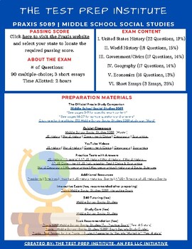
Praxis Exam 5089 Middle School Social Studies | Resource Guide
Greetings from Team TPI!We are excited to offer custom resource guides for education majors and novice teachers working to earn their teaching license. The document includes a list of resources available online for your exam. Some resources are free and others require a fee. Your purchase includes a free 30-day subscription to 240Tutoring.com! Please email info@thetestprepinstitute.com after your purchase to retrieve your subscription. Please note, this document is for individuals who are not
Grades:
Higher Education, Adult Education, Staff
Types:
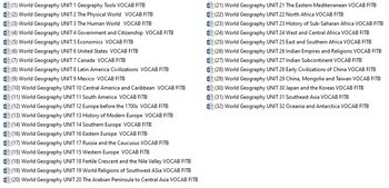
World Geography Year Long Curriculum Worksheet Bundle
A years worth (31) of World Geography worksheets for the following units:1) Geography Tools2) The Physical World3) The Human World4) Government and Citizenship5) Economics6) United States7) Canada8) Latin American Civilizations9) Mexico10) Central America and the Caribbean11) South America12) Europe Before the 1700's13) History of Modern Europe14) Eastern Europe15) Western Europe16) Southern Europe17) Russia and the Caucasus18) Fertile Crescent and the Nile Valley19) World religions of
Grades:
4th - 12th, Adult Education
Types:
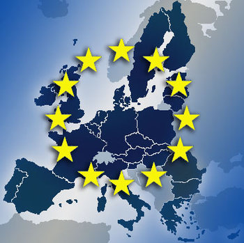
European Union- Text and Exercise Sheets
The European Union is an organisation of 27 nations. Its original aim was to form an economic union but, as time went on, the EU developed into a far greater organisation.Today the EU is developing into a political union, trying to bring together the democratic countries of Europe. It is the biggest trading bloc in the world, has more people than the United States and exports and imports more goods than any other country in the world.Contents : 26 pagesIntroductionHistory of European integratio
Subjects:
Grades:
6th - 12th, Higher Education, Adult Education
Types:

World Population- Text and Exercise Sheets
Today, about 7 billion people live on our earth. Each year, the world’s population grows by about 80 million. If it continues
to grow at such a rate the world’s population will reach 9 billion by the year 2035.
Contents : 27 pages
Introduction
World population from the beginnings to the present day
Population density
Population pyramids
Birth and death rates
China's one child policy
Urban population
Biggest cities in the world
Migration
Dangers of overpopulation
Environment
Poverty
Food and w
Grades:
6th - 12th, Higher Education, Adult Education
Types:
Showing 1-24 of 746 results


