852 results
3rd grade geography resources for Microsoft PowerPoint $5-10
Trip to Mexico Power Point and Activities Pack | Cinco De Mayo Activities
Have a great time learning about Mexico with this fun Power Point and Activities Pack. Both PowerPoint and Google Slides versions are included. It's the perfect activity during Cinco De Mayo, the last week of school, or for some Friday fun! Your class will be introduced to the geography, language, culture, and food in Mexico. The PowerPoint is packed with colorful, real photos. And a variety of activities are included to help your students reflect on what they've learned. Be sure to read the tip
Subjects:
Grades:
K - 6th
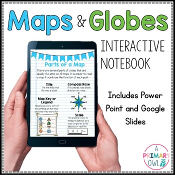
Maps and Globes Skills Digital Interactive Notebook PowerPoint Google Slides
This digital resource is perfect for your Maps and Globes unit. It includes BOTH a power point and a Google slides presentations. There are 25 total slides, some are teaching slides that explain the vocabulary and concepts and others are interactive with click and drag activities. Covers the following topics:What is a map?What is a globe?Comparing Maps and GlobesParts of a MapCompass RoseTypes of MapsResource Map ActivityEquator and Prime MeridianLongitude and Latitude Continents and OceansMap S
Subjects:
Grades:
2nd - 4th
"Trip to Hawaii" Power Point & Activities Pack!
This makes for such a fantastic end of year activity! You'll have a great time learning about Hawaii with this fun Power Point and Activities Packet with your students. Read about how I take my class on this exciting adventure below....Check out other products like this!Trip to Mexico BundleTrip to Australia BundleTrip to South AmericaFREE World Travel Student PassportIncluded in this pack... (check out the preview file for a sneak peek!)-47 slide power point on Hawaii where you learn about -
Subjects:
Grades:
K - 6th
Countries Unit Bundle, Cultures Around the World
Powerpoint lessons and projects for 5 countries around the world. Study culture and geography with these easy social studies lessons!See a short video of all the projects HERE **For personal and single classroom use only. If using with multiple classrooms, please purchase additional licenses at a reduced rate.**...........................................................................................................................*FREE Reading Skills Poster Set for newsletter subscribers SIGN
Subjects:
Grades:
1st - 4th
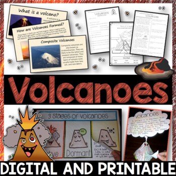
Volcanoes Complete Pack - Printables, Editable PowerPoint, Interactive Notebooks
This Volcano Unit is exploding with a variety of printables, Diagrams, Interactive notebooks, and a 100% editable PowerPoint.*Also includes digital access via Google Slides.What’s included in the pack: (Answer keys are included.) • PowerPoint Review Sheet• Volcanoes Reading Comprehension• Label the parts of a volcano • Volcano Labeled Diagram • 3 Stages of a Volcano Poster (8.5” x 11”) – Active, Dormant, and Extinct• Cinder Cone, Composite, and Shield Volcanoes Posters (1 of each)• Types of Volc
Subjects:
Grades:
3rd - 6th
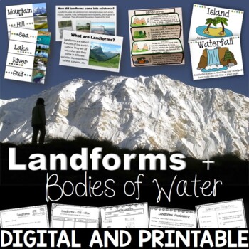
Landforms & Bodies of Water Bundle| Printables, PowerPoint, Interactive Notebook
This landforms pack will engage your students in learning about 19 different landforms / bodies of water. There are Posters, Word Wall Cards, “What am I” cards, Printables, Interactive notebook, and a 100% Editable PowerPoint. *Also includes digital access via Google Slides.Landforms included in this unit: Mountain, Hill, Valley, Plain, Island, Sand Dune, Peninsula, Canyon, Delta, Plateau, Mesa, Ocean, Sea, Lake, River, Gulf, Canal, Glacier, and WaterfallAnswer Keys are included.• PowerPoint Rev
Subjects:
Grades:
2nd - 5th
"Trip to South America" Power Point & Activities Pack!
Have a great time learning about South America with this fun Power Point and Activities Packet. Read about how I take my class on this exciting adventure below....✨Check out other products like this!Trip to Mexico BundleTrip to Hawaii BundleTrip to Australia BundleFREE World Travel Student PassportIncluded in this pack: -55 slide power point on South America where you learn about -the geography -the language -fun places to visit -the culture -the food -the animals14 Pages of Activiti
Subjects:
Grades:
1st - 6th
"Trip to Australia" Power Point & Activities Pack!
Have a great time learning about Australia with this fun Power Point and Activities Packet! Read about how I take my class on this exciting adventure below.Check out other resources like this!Trip To Asia BundleTrip to Mexico BundleTrip to Hawaii BundleTrip to South America BundleFREE World Travel Student Passport✨Save $$ with the Continents and Countries Bundle! Get 8 different "Trip to" resources to use throughout the year, and save 30%!Included in this pack... 50 slide PowerPoint or PDF on Au
Subjects:
Grades:
1st - 6th
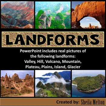
LANDFORMS PowerPoint
Bring Earth's Landforms inside your classroom with this interactive Landforms PowerPoint using all real pictures! It also includes several opportunities for students to answer questions as they learn all about landforms.Students' knowledge can also be assess using the quick quiz at the end.What other teachers have said about this product:"Wonderful, real-life pictures! Students really got an understanding of each land form!""Great resource! My kids and I loved the pictures! Very helpful!""This
Subjects:
Grades:
K - 5th
Also included in: Science PowerPoints BUNDLE (Includes *BONUS* PowerPoint!)
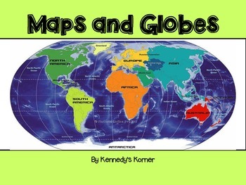
Maps and Globes Power Point
UPDATED SEPTEMBER 2020 ~ This is all you will need to teach all about Maps and Globes.This unit will cover the following topics : Words to Know What are Maps and Globes Map Key or Symbols Cardinal Directions Intermediate Directions Equator Prime Meridian Hemispheres Coordinate Map Map scales Continents and Oceans Types of Maps Quick Check Review pages Extra Maps Final QuizThere are numerous examples of maps included. Black and White copies o
Grades:
2nd - 5th
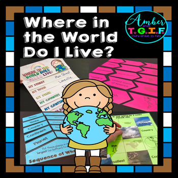
Me on the Map activities | Where Do I Live
I have always used a Me on the Map flipbook to help my students understand the concept of “Where do I live?” I felt they needed more practice to really get a great grasp of the concept of “Where in the world do I live?” so these fun centers were also created. Bonus – The “state” and “town” sections are EDITABLE to type in your own state and town names. Here is what is included:* “Where in the World Do I Live (Me on the Map) flipbook (blank versions and with clipart of planet, continent, count
Grades:
2nd - 4th
Types:
Also included in: Map Skills for 2nd, 3rd, and 4th Grades Bundle | Print and Digital
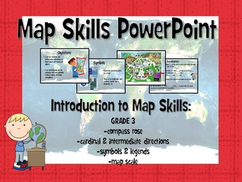
Map Skills Powerpoint
This interactive Powerpoint introduces students to basic map skills, engaging students through practicing identifying key features on different maps. The last slide includes an fill-in-the-blank informal assessment.
Learning objectives:
-use cardinal and intermediate directions to locate places on maps and globes
-identify and use the compass rose and symbols to locate places on maps and globes
Key concepts and terms taught in this Powerpoint include:
-compass rose
-cardinal directions
-in
Subjects:
Grades:
2nd - 3rd
Types:
A Trip To Asia Power Point & Activities Pack!- Asia Continent Study
Have a great time learning about a few of the countries in Asia with this fun Power Point and Activities Packet. Read in detail about how I take my class on this exciting adventure below....Grab this freebie to go with it! :)World Travel Student PassportIncluded in this pack:-75 slide power point on Asia where you learn about: -the geography -the language -fun places to visit -the food -the animals - this power point visits Japan, China, Russia, and Thailand specifically.Activity Boo
Subjects:
Grades:
1st - 5th
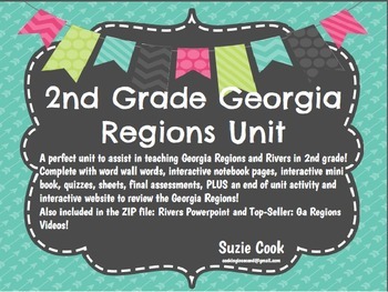
Georgia Regions and Rivers Unit**Includes Virtual Field Trips for ALL Regions
A perfect unit to assist in teaching Georgia Regions and Rivers in 2nd grade! Complete with word wall words, interactive notebook pages, interactive mini book, quizzes, sheets, final assessments, PLUS an end of unit activity and interactive website to review the Georgia Regions!Also included in the ZIP file: Rivers Powerpoint and Top-Seller: Ga Regions Videos! * Clip art: www.englishunite.com* Frames: Winchester Lambourne* Borders: Creative Clips* Backgrounds: steach4fun* Fonts: Found on Google
Grades:
1st - 3rd
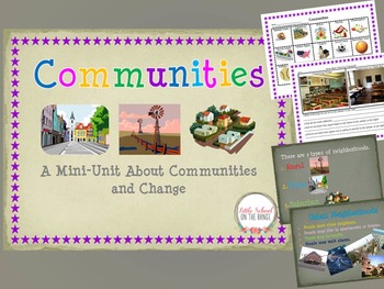
Communities and How They Change Over Time BUNDLE
Communities and How They Change Over Time BUNDLE
This Unit Contains:
• Communities I Belong To
• Types of Communities (Urban, Rural, Suburban)
• Communities Sort (Urban, Rural, Suburban)
• Communities Past and Present (Change)
• Communities Past and Present (Change)
• Technology of the Past and Present Sort
• Schools Past and Present
• Two Pages of Discussion Questions
The sorts and activities are great ways to reach the upper levels of Blooms Taxonomy. Students not only learn about communitie
Subjects:
Grades:
K - 4th
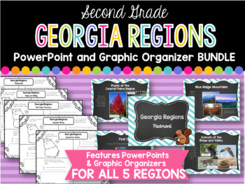
2nd Grade Georgia Regions BUNDLE
This is a bundle of all five of my Georgia Regions PowerPoints and Graphic Organizers.
The set is perfect for teaching all five of the Georgia regions covered in second grade! Students will locate each region on a map, list plants and animals found in the region, and two interesting facts. Each of these categories are covered in the corresponding PowerPoints.
Regions covered:
Appalachian Plateau
Ridge and Valley
Blue Ridge Mountains
Piedmont
Coastal Plains
*I always greatly appreciate your
Subjects:
Grades:
1st - 3rd
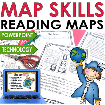
Map Skills for 3rd and 4th grade Hands-On Map Skill Activities and Worksheets
For a fun, hands-on way to learn about maps and vocabulary, try this Map Skills activities unit. Third and fourth graders will be introduced to terminology as they read maps and coordinates. Plus, they can create their own state map and a map of a zoo. Using Google Maps, students can locate where they live.This unit incorporates map skills, cooperative learning, technology skills, differentiation, and creativity. Students can create their own "Where in the World" slideshow and solve the Birthday
Grades:
2nd - 4th
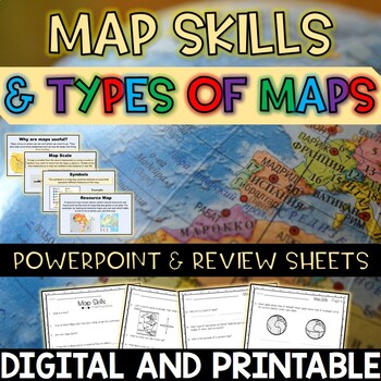
Map Skills and Types of Maps Editable PowerPoint and Review Sheets
Let’s make a geography unit about maps more engaging by starting off your lesson with this 100% editable PowerPoint! After OR during the PowerPoint, have students fill in the review sheets to check for understanding. Topics included: What are maps? Why are maps useful? Globes Map scales Compass rose (cardinal and intermediate directions)Map key / legend Symbols Types of maps (political, physical, climate, resource, road)EquatorPrime meridian Hemispheres Latitude and Longitude Cartographer Contin
Subjects:
Grades:
3rd - 5th
Mis amigos africanos | Spanish Bundle
Mis amigos africanos | Spanish BundleEste bundle incluye una presentación en PowerPoint las hojas de tarea para trabajar el tema "Mis amigos africanos" de la unidad 1.1 de la clase de Adquisición a la Lengua del departamento de Educación de Puerto Rico.Este bundle es para un solo uso personal. Un solo salón de clases. No se puede copiar, revender o compartir. No colocar en Facebook o grupos de redes sociales públicas.Gracias por su apoyo. No olviden visitar mi tienda para más recursos en español
Subjects:
Grades:
1st - 3rd
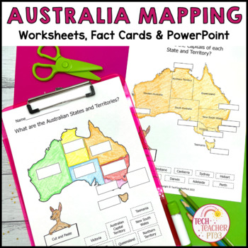
Australia Mapping States Territories and Capitals
This mapping pack will help your students understand what the Australian states and territories are and where the capitals are located. Students can use the hands-on activities to map Australia's climate, position in the Southern Hemisphere and location worldwide. The companion PowerPoint slides will guide students through each worksheet (with written and cut-and-paste options), the lapbook templates create a fun research project for students, and the fact cards will help guide them in their exp
Grades:
1st - 3rd
Also included in: Australia Bundle Maps Geography
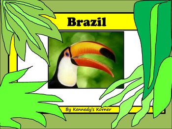
BRAZIL Power Point and Activities for Gr. 2 - 4
This 97 Page Unit has everything you have ever wanted to teach your students about the beautiful country of BRAZIL.
Check out the PREVIEW to see this unit in detail!!
There is a 50 page Power Point (in pdf format) to help hook and engage your students into learning all about this important country. You will love the activities that are included in this unit. There are 30 pages of activities. Some of the activities are listed below.
* KWL Question Sheet
* Label the Map Activity Sheet
* Ma
Grades:
3rd - 6th
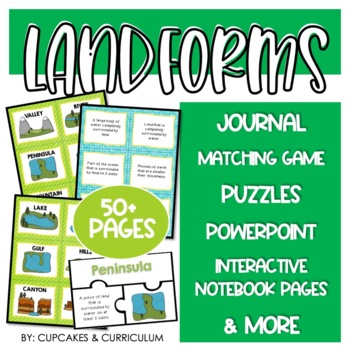
Landform Activities with Landform Worksheets for Landforms and Bodies of Water
Need to make LANDFORMS exciting? Grab this set of landforms activities that cover twelve different landforms found around the world!Landforms included in this resource:River, canyon, gulf, hills, island, lake, mesa, mountain, ocean, plateau, peninsula, valley.Included with this purchase are over fifty pages of landform worksheets:Student Landform Mini-Book: Two booklets per one copy. Students will identify the landform pictured and list the characteristics that describe the landform.Landform
Subjects:
Grades:
2nd - 5th
Also included in: Landforms Resource Bundle
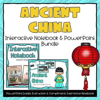
Ancient China PowerPoint & Interactive Notebook Bundle
This file includes two separate files, an Ancient China PowerPoint and and Ancient China Interactive Notebook.File includes an 20-page powerpoint presentation featured around the topic of Ancient China. Topics included are:- Where is China?- Land in China- Human Resources- Architecture- Inventions- Adaptations- Contributions- Changes over time (from beginning, greatest period of influence, and today)Many pictures and examples are included on each slide. Real-life images and graphics are guarant
Grades:
2nd - 4th
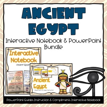
Ancient Egypt PowerPoint & Interactive Notebook Bundle
This file includes two separate files an Ancient Egypt PowerPoint and an Ancient Egypt Interactive Notebook.File includes an 20-page powerpoint presentation featured around the topic of Ancient Egypt. Topics included are:- Where is Egypt?- Land in Egypt- Human Resources- Architecture- Government- Beliefs- Inventions- Adaptations- Contributions- Changes over time (from beginning, greatest period of influence, and today)Many pictures and examples are included on each slide. Real-life images and gr
Grades:
2nd - 4th
Showing 1-24 of 852 results


