2,680 results
8th grade geography activities for Microsoft PowerPoint
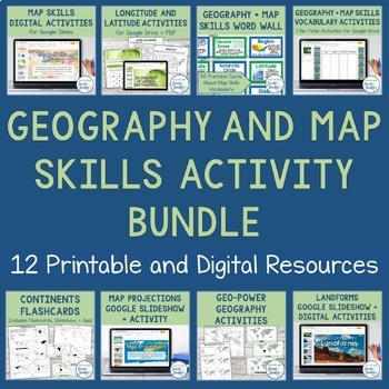
Geography + Map Skills Bundle | Maps, Continents and Oceans, Latitude Longitude
This epic bundle includes 12 different essential geography resources to help your students develop map skills and a sense of geographic awareness! The printable and digital resources in this bundle cover topics like latitude and longitude, continents, oceans, countries, map key, map projections, map distortion, landforms, and a lot more!Save over 30% by purchasing this bundle!The 12 resources included in this bundle include:Map Skills Digital Activity + Overview SlideshowLatitude and Longitude A
Grades:
5th - 8th
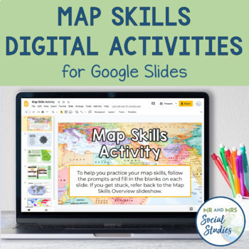
Map Skills Digital Activity and Overview Slideshow | Map Skills Middle School
If you are looking for map skills activities that you can use digitally, you are in the right place! This resource includes both a Map Skills Slideshow with information about different components of maps and a no-prep Map Skills Activity for Google Slides. All of the information is presented in an organized, colorful, and easy-to-understand way for your students.This Map Skills Google Classroom resource includes the following:Teacher Guide (PDF)Map Skills Overview Slideshow (Google Slideshow wit
Grades:
5th - 8th
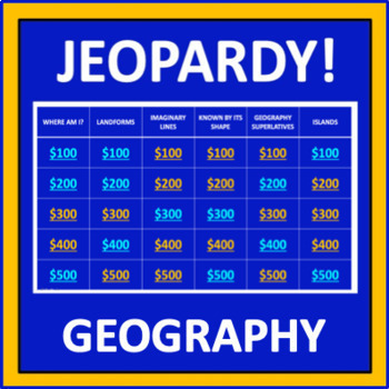
Geography Jeopardy - an interactive social studies game
Geography Jeopardy is an interactive game in which students answer geography trivia questions. This resource reflects the popular TV game show, but adaptations have been made so it can be played in the classroom. The categories are:Where Am I?LandformsImaginary LinesKnown by Its ShapeGeography SuperlativesIslandsParts of a MapCountries Starting with "I"Colorful PlacesWater! Water! Water!ContinentsFamous LandmarksWhere in the World?*SIGN UP AS A FOLLOWER OF “OFF THE PAGE” AND GET NOTIFICATIONS OF
Grades:
5th - 8th
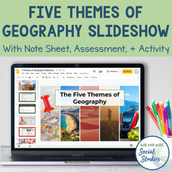
5 Themes of Geography Slideshow and Activity
Teach your students about the 5 Themes of Geography with this helpful, no-prep Google Slideshow, note sheets, assessment activity, and graphic organizers! Covering the different themes of geography with your students at the start of the year will establish a solid foundation that you can build upon throughout the school year!With this resource, you can use the 18-slide Google Slideshow (with editable text) to teach your students about the 5 Themes of Geography. This slideshow covers the definiti
Grades:
6th - 9th

Georgia Studies: Five Geographic Regions (SS8G1)
This file is a resource pack about the five geographic regions of Georgia (as outlined by the Georgia Standards of Excellence – SS8G1b). This lesson includes a presentation with important facts and images. There are also several printables, activities, and graphic organizers included in the file. The handouts and foldables are perfect for your students' Social Studies Interactive Notebooks!File Contents:~Standards Poster -- slide 2~Georgia's Geographic Regions CLOZE notes and Key (for note-takin
Subjects:
Grades:
8th
World Geography Warm Ups - Bell Ringers
Looking for a great way to get your geography class started? Here is a semester’s worth of Bell Ringers to help introduce your geography students to the wonders of the world. These 90 questions cover places from all 7 continents. Product includes:90 researched questions and answers each on separate slidesA student page to use the product as a warm up Related Products⭐ 5 Themes of Geography Scenario Sort Cards⭐ 50 States Puzzles - 5 Regions of United States - BUNDLE⭐ Create an Atlas with 5 Them
Grades:
5th - 8th
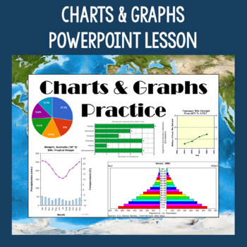
Charts & Graphs PowerPoint Slides - Review and Practice - State Testing Prep
This Charts & Graphs Lesson includes a full PowerPoint presentation that can be used for many different purposes such as teaching students how to read different types of charts & graphs, reviewing charts & graph skills, bell ringers/daily starters, etc. Pie charts, bar graphs, line graphs, population pyramids, climographs, cartograms, and tables are covered in the lesson. Tips for reading the charts and graphs are included, as well as several questions about each type. This PowerPoin
Grades:
6th - 9th
Also included in: Geography Skills PowerPoint Lessons Bundle
"This or That" Geography Edition | Back to School + Bellringer Resource!
In this "This or That" geography activity, students engage in five rounds and choose one of two options based on which environment, settings, or locations they prefer -- then students learn more about places around the world that they would enjoy! For example, would you choose "this" --> "You would prefer to visit a spot with many options of things to do."Or would you choose "that" --> "You would prefer a vacation that is simple and scenic."Then, depending on the option they chose, studen
Subjects:
Grades:
5th - 8th
Also included in: This or That Back to School Bundle | 3 Fun Activities to Start the Year!
Europe Physical Geography Bundle Map Activities & Quizzes Google Digital & Print
This Europe physical geography bundle of lesson plans, map activities & quizzes is a one-stop shop at a great value.This bundle was designed to teach about the geography of Medieval Europe. It includes NINE current, engaging, versatile lessons to introduce the geography of Europe and an editable Quiz in Google Forms and Word. The assignments are available in both printable and Google Ready versions! The BONUS FILE is organized in print and Google ready folders, complete with a scope and sequ
Subjects:
Grades:
4th - 8th
Introduction to Geography Bundle | Reading & Notes - Print and Digital
Geography is such an important academic skill to master-Without it, learning about history can be more difficult! This bundle of resources will provide your students with the geography foundation they need to be successful across all subject matters! This bundle has everything to keep your students learning and engaged, including maps and globe activities, videos, PowerPoint presentations, vocabulary study, and even a BONUS interactive notebook! Planning fun and engaging lessons can take time a
Grades:
6th - 8th
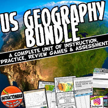
Physical Geography of the United States - US Bundle- Updated Fun New Activities!
This bundle has been completely revised and includes 7 fun, current, and interactive activities.Here's what you get:A Satellite Physical Geography Map Introduction Guided Notes: A feature label appears on each click! Students fill Labels on a paper map OR Google Slides. Note: This bundle only includes the map & labeling portion of the activity linked- Google Earth or Google Maps will not be needed.A Where in the World Map and Scavenger Hunt: A Map Labeling Worksheet and Where in the World In
Grades:
5th - 10th
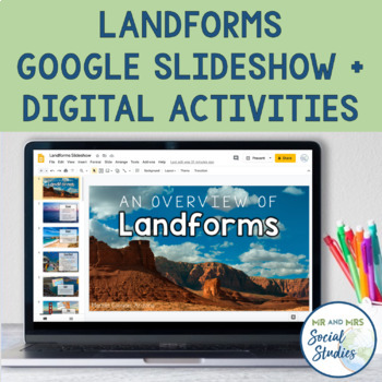
Landforms and Bodies of Water Digital Activities and Overview Slides
If you need some landforms digital activities or a landforms slideshow, you are in the right place! Teach about landforms using this 29-slide Google Slideshow with high-quality photographs and editable text. Then, have you students complete the Landform Logic Puzzles and Landform Matching Challenge on an editable Google Doc. These landform activities are not only fun and engaging, but they will help assess your students!The 26 landforms included in this resource are: Oceans, Coast, Coral Reef, G
Grades:
5th - 8th
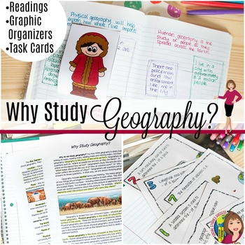
Why Study Geography? Activity on the 5 Themes of Geography
Geography is important! But do your kids think so? This is a great lesson to start off the year as you examine the topic “Why Study Geography?” This lesson begins by getting students out of their seat with a 4 Corner Debate. Your students will then take notes on pop-up expert as they study geography. The lesson concludes with task cards and a spectrum, where they have to defend their thinking. When you purchase this lesson, you will receive:-A detailed lesson plan-A reading on “Why Study Geograp
Grades:
6th - 9th
Also included in: GEOGRAPHY ACTIVITIES BUNDLE
Create Your Own Country Project-Step by Step Guide-Editable
In this project, students will be working in pairs to create their own country from scratch. They will also choose a type of government for their country. Their final product will be a brochure and a PowerPoint presentation.This resource includes:PowerPoint presentation with complete project detailsStudent Handout following the Power Point Presentation (PDF and MSWORD)Rubric for grading the brochure and presentation (PDF and MSWORD)PowerPoint Presentation Images are flattened but all titles and
Subjects:
Grades:
4th - 12th, Higher Education
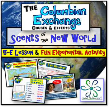
Columbian Exchange 5-E Lesson & Activities | Columbus, Colonization & Trade
“Scents of the New World” is an unforgettable lesson where students assume the roles of Spanish explorers on their first trip to the New World. An optional hands-on experiential activity has students guessing hidden items native to the New World by scent. While fun for the class, this lesson also challenges students to analyze the lasting effects of the Columbian Exchange on the world. All materials are included and the PowerPoint presentation easily guides you through the entire lesson and a
Grades:
4th - 10th
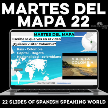
Spanish Culture martes del mapa 22 travel videos of Spanish Speaking Countries
This Editable Google slide show includes 22 weekly Spanish culture bell ringers or brain breaks in Spanish class. The goal of these Spanish class warm-ups is to expose students to geography and the diverse countries and Spanish culture of the Spanish-speaking world. These Spanish travel slides would be perfect for Hispanic Heritage Month / Latinx Heritage Month / el mes de la herencia hispana / mes de la hispanidad.⭐️ Bundle up for the best deal! Get this as a part of the martes del mapa bundle
Subjects:
Grades:
8th - 10th
CCSS:
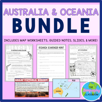
Australia & Oceania BUNDLE
Teach your students about Australia & Oceania with this jam-packed bundle!With this bundle, your students will learn about the geography, history, and cultures of Australia and Oceania. Resources Included in this Bundle:PHYSICAL MAP RESOURCES (includes 20 pages of editable PowerPoint slides, blank map worksheet, differentiated quizzes, and answer key)POLITICAL MAP RESOURCES (includes 31 pages of editable PowerPoint slides, blank map worksheet, differentiated quizzes, and answer key)GEOGRAPHY
Grades:
6th - 12th
Latitude and Longitude Tutorial and Battleship Game
This battleship game will keep your students entertained as well as teach them to master reading and plotting latitude and longitude coordinates on any map. I've used this game for years in my earth science and physical science classrooms with major success. It's a great way to teach, reinforce, and review latitude and longitude. It's also great for substitute teachers. Once the students know how to play, they can do the rest themselves. I hope you find as much value in this game as I have.
Subjects:
Grades:
4th - 12th
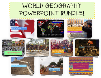
Complete World Geography PowerPoint Bundle!
A $50 Value for $40! Includes TEN World Geography Unit PowerPoints. Details below!(UPDATED AUGUST 2020 as a Google Slide Presentation! Perfect for hybrid, blended, online, or digital learning!)The Themes of Geography PowerPoint allows students to become more familiar with the Five Themes of Geography and introduces them to core geographical foundations. As such the PowerPoint is broken into:1. Five Themes of Geography2. Map Skills (Reading Maps, Relative vs Absolute Location)3. Types of Maps and
Grades:
7th - 12th
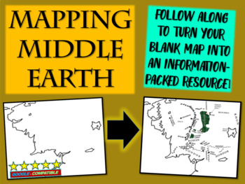
Map the Hobbit: a follow-along interactive PPT to help students map Middle Earth
THIS RESOURCE IS A MUST-HAVE FOR TEACHERS THAT WANT TO HELP STUDENTS VISUALIZE MIDDLE EARTH WHILE READING THE HOBBIT OR THE LORD OF THE RINGS. STUDENTS START WITH A BLANK MAP AND THEN FOLLOW STEP-BY-STEP TO CREATE AN INFORMATION-PACKED RESOURCE!***GOOGLE COMPATIBLE*** 1) Drag and Drop the Word Doc or PowerPoint into Google Drive2) Then Go to "FILE", and SAVE AS "GOOGLE SLIDES" or "GOOGLE DOCS"This download includes both the 33-slide, 25-step PowerPoint AND the blank Middle Earth map in PDF and
Subjects:
Grades:
5th - 10th
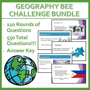
Geography Bee Challenge (BUNDLE)
550 Total Questions!!! This will transform how your class will walk through the door everyday!Included:- 110 Rounds of Geo-Bee Warm-Up Questions- Answer Key- Student Progression Cards (To track progress with or without stickers)Directions:- Give each student a Progression Card of their choice- Each day, start class immediately with a round of 5 questions (30 seconds each). I have seen tardies become non-existent as students don't want to risk missing out on stickers to rank-up! Purchase Incenti
Grades:
4th - 10th
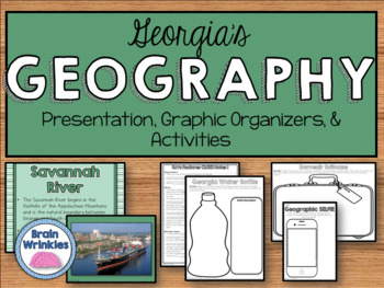
Georgia Studies: Physical Features (SS8G1)
This file is a resource pack about the key physical features of Georgia and the importance of water in Georgia’s historical development and economic growth (as outlined by the Georgia Standards of Excellence – SS8G1cd). This lesson includes a presentation with important facts and images. There are also several printables, activities, and graphic organizers included in the file. The handouts and foldables are perfect for your students' Social Studies Interactive Notebooks!File Contents:~Standards
Subjects:
Grades:
8th
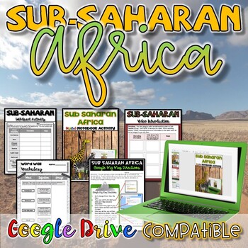
Sub-Saharan Africa Activity - Digital and Paper
Many students are shocked to learn just how vast the geography of Sub-Saharan Africa really is! (It’s about 9.4 million square miles!) In this unit, students find out so many other fascinating things about Africa, too, which makes it so much fun to teach! This resource has everything you need to teach about Sub Saharan, Africa, and is designed to be an easy, no-prep approach for teachers. No more creating presentations or looking for websites and videos to go with your lessons, this has it all i
Grades:
5th - 8th
Also included in: World History SUPER Bundle Set #1 - Print and Digital
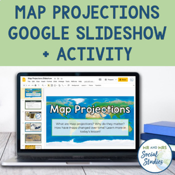
Map Projections and Types of World Maps Activities for Google Drive
This digital Map Projections resource is a must to help your students uncover the deeper meaning behind different maps! With this Google Drive resource, present a brief history of maps and map projections using the editable Google Slideshow, and have your students evaluate the maps with the discussion prompts and mapping awards activity!This Map Projections resource includes the following files:Teacher Guide (PDF)Map Projections Slideshow (Editable Google Slideshow with 25 slides)A Brief History
Grades:
6th - 9th
CCSS:
Showing 1-24 of 2,680 results


