9 results
8th grade geography clip arts for Microsoft PowerPoint
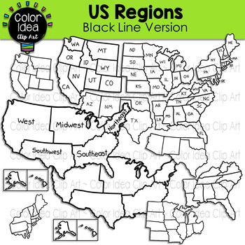
US Regions - Black Line Version
This set contains 24 images. BLACK LINE VERSION ONLY. Images saved at 300 dpi in png files.PLEASE NOTE: These are not exact maps, are graphical representation only.Check out these related clipart sets:Map Skills Clip ArtMap PointersNeighborhood Map SkillsI also have quite a complete selection of clipart in the following bundle:US Regions BundleLandforms BundleEarth Science - Geology Mega BundleEarth Science - Geology Mega Bundle 2☆ Click to follow me to get freebies and updates on new products!
Grades:
PreK - 12th, Adult Education, Staff
Also included in: US Regions Bundle
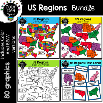
US Regions Bundle
This is a collection of 4 sets. 80 images, colored and black line version. Images saved at 300 dpi in png files.PLEASE NOTE: These are not exact maps, are graphical representation only.** Do not purchase this bundle if you already purchase my USA Maps - BUNDLE **Check out these related clipart sets:Map Skills Clip ArtMap PointersNeighborhood Map SkillsI also have quite a complete selection of clipart in the following bundle:Landforms BundleEarth Science - Geology Mega BundleEarth Science - Geolo
Grades:
3rd - 10th
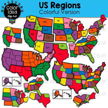
US Regions - Colorful Version
This set contains 23 images. COLORED VERSION ONLY. Images saved at 300 dpi in png files.PLEASE NOTE: These are not exact maps, are graphical representation only.Check out these related clipart sets:Map Skills Clip ArtMap PointersNeighborhood Map SkillsI also have quite a complete selection of clipart in the following bundles:US Regions BundleLandforms BundleEarth Science - Geology Mega BundleEarth Science - Geology Mega Bundle 2☆ Click to follow me to get freebies and updates on new products!☆ F
Grades:
PreK - 12th, Adult Education, Staff
Also included in: US Regions Bundle
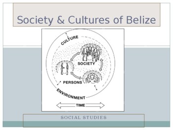
Society & Cultures of Belize
A society and culture of Belize power point built for face to face classroom and virtual discussions. This piece makes for close up understand of Belize's history and its cultural diversity to present day. Students will be able to asks questions and give feedback as you go along and will allow for a more interactive lesson with their focus on the topic at hand.
Grades:
4th - 12th, Higher Education, Adult Education, Staff
Types:
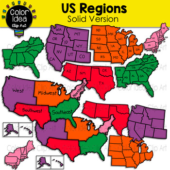
US Regions - Solid Version
This set contains 23 images. COLORED VERSION ONLY. Images saved at 300 dpi in png files.PLEASE NOTE: These are not exact maps, are graphical representation only.Check out these related clipart sets:Map Skills Clip ArtMap PointersNeighborhood Map SkillsI also have quite a complete selection of clipart in the following bundles:US Regions BundleLandforms BundleEarth Science - Geology Mega BundleEarth Science - Geology Mega Bundle 2☆ Click to follow me to get freebies and updates on new products!☆ F
Grades:
PreK - 12th, Adult Education, Staff
Also included in: US Regions Bundle
Geography
U.S. History to 1877 (GEOGRAPHY)
- 200 Slides (PowerPoint Type, JPEG)
- Slides prompt students to:
answer questions
think
analyze
- Great teaching tool. My students say this is the way they
learn the best and remember the material. I use these
slides for my 8th Grade students.
Grades:
6th - 8th
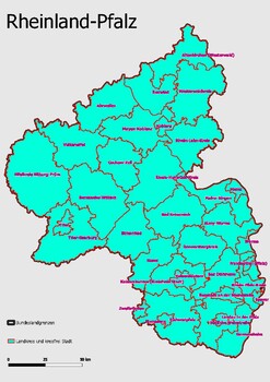
Map Administrative Structure Federal State Rheinland - Pfalz
Map Administrative Structure Federal State Rheinland-PfalzRheinland-Pfalz is a federal state in Germany. It is located in the western part of the country, and it is bordered by the states of North Rhine-Westphalia, Hesse, Baden-Württemberg, and Saarland. The state is divided into 16 districts (Kreise) and five independent cities. The capital and largest city is Mainz. The government of Rheinland-Pfalz is a parliamentary representative democracy, headed by a Minister-President, who is elected by
Subjects:
Grades:
4th - 12th, Higher Education, Adult Education
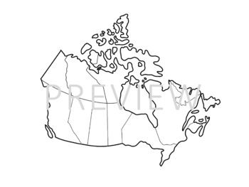
Hand-Drawn Map of Canada Clipart
Clipart of Canada, with thin white outline. Perfect for slideshows, worksheets on displays. Customize it to show whatever you'd like!
Grades:
PreK - 12th, Higher Education, Adult Education, Staff
Types:
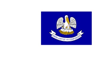
Fifty States, capitals, and flags
This presentation and activity covers the 50 states and their capitals and flags. includes several activities to introduce students to the capitals and flags of each state. Includes two different bingo games.
Subjects:
Grades:
3rd - 8th
Showing 1-9 of 9 results


