446 results
8th grade geography printables for Microsoft PowerPoint
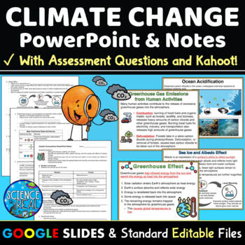
Climate Change PowerPoint with Notes, Questions, and Kahoot
⭐ ⭐ ⭐ ⭐ This Climate Change PowerPoint focuses on current greenhouse gas emissions, the greenhouse effect, global warming and climate change. This resource includes student notes, assessment questions, and custom Kahoot game! Also included are teacher notes and lesson plan. This engaging 45-slide editable Climate Change PowerPoint is accompanied by editable fill-in-the-blank-style notes, assessment questions, and a custom Kahoot! Standard printable files (MS Word and PDF) and Google Slides versi
Subjects:
Grades:
8th - 12th
NGSS:
HS-ESS3-3
, MS-ESS3-5
, HS-ESS3-1
, MS-ESS3-4
, HS-ESS3-5
...
Also included in: Climate Change Growing Discount Bundle
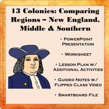
13 Colonies: Comparing Regions - New England, Middle, & Southern Colonies
13 Colonies: Comparing the Regions – New England, Middle & Southern ColoniesThis lesson teaches how the three regions of the 13 Colonies differed from one another: New England, the Middle Colonies, and the Southern Colonies. Students will learn how the climate and geography of the three colonial regions impacted the economic as well as the social lives of colonists in the three regions of the 13 Colonies. Students will learn how the New England colonists had to look to different types of rev
Subjects:
Grades:
5th - 11th
Also included in: Early US History Bundle: 1492 - Civil War
US Geography Activities 5 Regions of the United States Special Education
United States Geography Unit covers the 5 main regions of the United States specifically designed for students with special learning needs, especially autism. This unit on United States geography addresses the 5 regions:Northeast RegionSoutheast RegionMidwest RegionSouthwest RegionWest RegionThere are many opportunities for students to engage in repeated information on the different regions of the United States. This repetition encourages true appreciation of the geography of the United States.
Subjects:
Grades:
6th - 8th

Georgia Studies: Five Geographic Regions (SS8G1)
This file is a resource pack about the five geographic regions of Georgia (as outlined by the Georgia Standards of Excellence – SS8G1b). This lesson includes a presentation with important facts and images. There are also several printables, activities, and graphic organizers included in the file. The handouts and foldables are perfect for your students' Social Studies Interactive Notebooks!File Contents:~Standards Poster -- slide 2~Georgia's Geographic Regions CLOZE notes and Key (for note-takin
Subjects:
Grades:
8th
Ancient History Interactive Notebook Mega Bundle
This bundle includes all the Ancient History Interactive Notebooks currently available in The Teacher's Prep store!
ANSWER KEYS are included in each notebook!
**An editable vocabulary page has been added to this resource. It's in a PowerPoint file. Simply add in your own vocabulary words, print, and go!**
The bundle includes a wide variety of interactive notebook graphic organizers for each civilization in the bundle. This allows teachers to customize the activities for their own classrooms
Subjects:
Grades:
5th - 8th
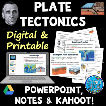
Plate Tectonics PowerPoint with Student Notes, Questions, and Kahoot
⭐ ⭐ ⭐ ⭐ Digital and Printable - Perfect for Distance Learning! This engaging and attractive 50-slide Theory of Plate Tectonics PowerPoint is accompanied by 4-Pages of editable fill-in-the-blank-style notes, comprehension check questions, and a custom KAHOOT! The presentation is embedded with short engaging videos, gifs, amazing graphics, photos, diagrams, and a customized Kahoot! Game for review!Students will complete fill-in-the blank notes as they move through the Plate Tectonics PowerPoint. N
Subjects:
Grades:
7th - 12th
NGSS:
MS-ESS2-3
, HS-ESS2-3
, HS-ESS2-1
Also included in: Plate Tectonics Growing Discount Bundle
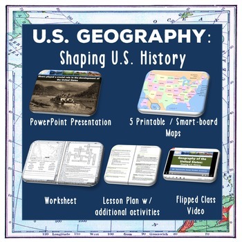
U.S. Geography - Shaping U.S. History
This lesson teaches students the major geographical features of the United States and how they have influenced historical events. Students will learn different types of maps, our major rivers and waterways, our mountain ranges, and the role topography has played in our history. For an overview of the material covered,check out our flipped class YouTube video which is part of the lesson at: US Geography YouTube VideoThis lesson includes:• Completed lesson plan with step-by-step instructions • Pow
Subjects:
Grades:
6th - 12th
Also included in: Early US History Bundle: 1492 - Civil War
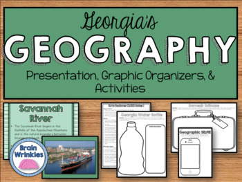
Georgia Studies: Physical Features (SS8G1)
This file is a resource pack about the key physical features of Georgia and the importance of water in Georgia’s historical development and economic growth (as outlined by the Georgia Standards of Excellence – SS8G1cd). This lesson includes a presentation with important facts and images. There are also several printables, activities, and graphic organizers included in the file. The handouts and foldables are perfect for your students' Social Studies Interactive Notebooks!File Contents:~Standards
Subjects:
Grades:
8th
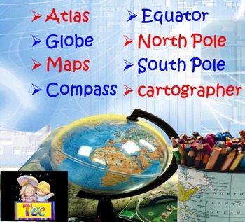
Maps and Globes Geography Interactive PowerPoint (3rd, 4th, 5th Grades)
This is a beautiful and informative 36 slide PowerPoint presentation. This is a super fun and interactive slide show. Maps and Globes Geography Compass Interactive PowerPoint Presentation This ZIP file contains:1. 36 slide PowerPoint presentation2. 36 pages PDFPPT animated presentation to use it in the classroom with any type of interactive board. Use F5 for full screen and clicks or keyboard arrows to run presentation.I've given you 5 slides to look at in the Download Preview – take a look! E
Subjects:
Grades:
1st - 10th
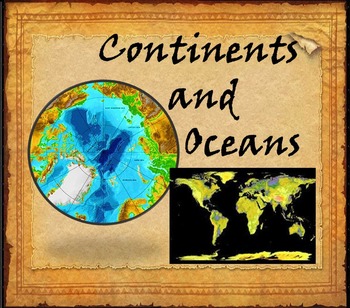
Continents and Oceans Interactive PowerPoint Game Continents Social Studies
Continents and Oceans - 7 Continents & 5 Oceans - Mountains - Rivers - Interactive PowerPoint GameThis is a beautiful and informative 45 slide PowerPoint presentation. This is a super fun and interactive slide show.* Continents * Asia* Top 5 highest mountains in Asia* The Five Largest Rivers of Asia* Africa* The Top 5 Highest Mountains In Africa*The Five Largest Rivers of Africa* North America* The Top 5 Highest Mountains in North America* The Five Largest Rivers of North America * So
Subjects:
Grades:
2nd - 8th
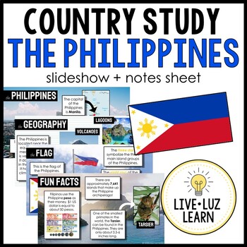
The Philippines Country Study Powerpoint™ Presentation Slideshow
THE PHILIPPINES COUNTRY STUDY | Slideshow + Notes SheetIf you're teaching about the Philippines, this resource is for you! Learn about the Philippines from a real Filipino (me!) I LOVE sharing about my culture.Take a trip to the Philippines with this slideshow that contains real photographs of the beautiful landscape and people of the Philippines. This slideshow, great for all ages (elementary to high school!), goes briefly into these topics:capitalflaggeographyclimatelanguagehistoryreligionsfoo
Grades:
3rd - 12th
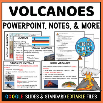
Volcanoes Powerpoint with Student Notes, Questions, and Kahoot
⭐ ⭐ ⭐ ⭐ This Volcanoes PowerPoint covers magma formation, types of volcanoes, volcanic landforms, lava flows, pyroclastic material, volcanic structures, the Ring of Fire, hotspots, and the benefits and hazards of volcanoes. This engaging 60-slide text-editable Volcanoes PowerPoint is accompanied by editable fill-in-the-blank-style notes, 10 comprehension check assessment questions, and a custom Kahoot!Standard printable files (MS Word and PDF) and Google Slides versions are both included. The pr
Subjects:
Grades:
7th - 12th
NGSS:
MS-ESS2-2
Also included in: Earthquakes and Volcanoes Growing Resource Bundle

Early American History Warm Ups/Bellringers (U.S. History from 1492-1877)
Early American History Bell Ringers and Warm-Ups for Students | Digital (Google Slides) Version Included!This middle and high school teaching resource contains daily warm ups/bell ringers on Early American History. Some questions require students to have previous knowledge of the topic, while others require no previous knowledge of the topic. All are connected to early American history and are designed to engage students and help them draw connections.This product contains 31 Warm Ups/Bellringer
Grades:
8th - 11th

North America Geography and Physical Features Power Point
Engage students with this power point over North America's Geography and Physical Features. Power point is interactive and includes a note sheet that can be printed off, copied and distributed to students to take notes on while they watch the power point. The slide show includes animations and sound effects. Over 30 colorful slides of that cover North America's physical features & geography.
Grades:
4th - 11th
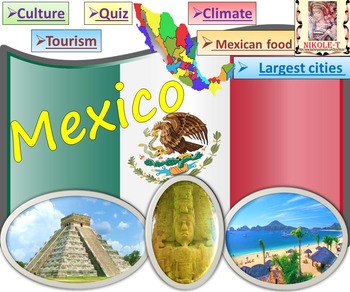
Mexico All About Mexico PowerPoint Presentation distance learning
Mexico: An Introduction to the Climate, Religion, Economy, Culture, Sport and FoodPowerPoint - Interactive slide showThe zip file contains: 2 products - PowerPoint presentation (50 slides)- PDF (50 pages )This is a beautiful and informative PowerPoint presentation.This is a super fun slide show. *Quiz*Government and politics*Administrative divisions*History*Largest cities Mexico CityGuadalajara MonterreyPuebla*Religion*Languages*Climate*Economy*Culture- UNESCO*TourismChichen ItzaTulumPalacio de
Grades:
1st - 9th
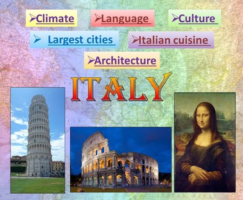
Italy | PowerPoint Presentation | Quiz distance learning (country study)
Italy PowerPoint Presentation Quiz, Art, Culture, Sights and FoodPowerpoint to introduce geographical / cultural / government information of Italy. Awesome as a visual to students.This download now comes with the slideshow in BOTH a PowerPoint and PDF version. Italy - Quiz - Climate - Culture - Language - Architecture - Largest cities - Italian cuisine - Interactive slide showThis is a beautiful and informative 54 slide PowerPoint presentation.This is a super fun slide show. I've given you 4 sli
Grades:
K - 10th
Learning Goals Grade 8 "I Can" Statements (Ontario)
**09/23 UPDATE - The learning goals have not yet been updated for the new science and language curriculums as I have had some serious health issues in the past year. I am currently working on updating the files. Please be patient with me and check back regularly as I cannot provide a completion date at this time. **Now includes editable pages so you can create your own goals with your students, or update the goals as you see fit.A series of "I Can" statements aligned with the Ontario French Curr
Grades:
8th
Types:

Africa Safari Activity to Introduce Africa
Take your students on an African Safari as they learn about the diversity of Africa! This activity will introduce your students to the great continent of Africa and is perfect to open up your Africa unit. Your kids will learn about the physical and human geography of Africa as they see images of the continent out of the “safari jeep”. During the African Safari, they will take notes in a field guide and create both an annotated map of Africa and a sensory figure. During the African Safari, your
Grades:
6th - 9th
Also included in: GEOGRAPHY ACTIVITIES BUNDLE

Germany PowerPoint Presentation distance learning
This is a beautiful and informative 60 slide PowerPoint presentation.This is a super fun slide show. Germany - Quiz - Climate - Culture - Largest cities - German food - Interactive slide showIncludes:* Geography * Quiz* German Flag ; Coat * Governance* ClimateLargest German companies German Rivers* Economy * Largest cities BerlinMunichCologneFrankfurtStuttgart* Nobel prize Albert EinsteinGustav Hertz* CultureJohann Sebastian BachGeorge Frideric HandelRichard WagnerJohann Wolfgang von GoetheFried
Grades:
K - 10th
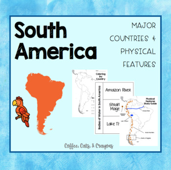
SOUTH AMERICA- Major Countries & Physical Features
Use this product with your students to introduce the major countries and physical features of South America.
The countries I have focused on in this product are the countries TN standards have listed that our 3rd grade students need to know!
Standards Covered...
3.33 Identify on a map major countries of the continent (Brazil, Colombia, and Peru,
Argentina). (G)
3.34 Identify major physical features of the continent (G):
• Rivers - Amazon
• Mountains - Andes
• Bodies of Water - Straits of Mage
Subjects:
Grades:
3rd - 8th
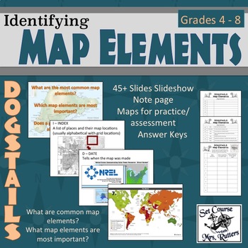
Understanding Map Elements - DOGSTAILS (lesson, practice, notes, answer keys)
This product supports students as they learning to identify and define map elements, debate necessary elements, and evaluate maps using their elements.
Includes comprehensive lesson plan, multiple versions of each handout, visual supports, opportunities for differentiation, complete answer keys.
Contents:
* DOGSTAILS Student note page (2 versions)
* DOGSTAILS Student note page (completed)
* DOGSTAILS Practice page (2 versions)
* DOGSTAILS Practice page (answer key)
* Using Map Elements Practi
Grades:
5th - 8th
Tourism: Bundle Of 5 Reading Comprehension Lessons (Excellent Value!)
30% discount when you purchase all 5 lessons!*INCLUDES SPECIAL BONUS TEMPLATE PACK FREE-OF-CHARGE*This is an excellent-value lesson bundle of 5 flexible reading comprehension-based lessons based on the 'Tourism' scheme of work.This bundle contains the following lessons:Exploring the Tourist Experience: Sightseeing, Culture, Nature, and Beyond. This lesson delves into various aspects that attract tourists to different destinations, including sightseeing, culture, nature, food, history, relaxation
Grades:
7th - 12th, Higher Education, Adult Education
Types:
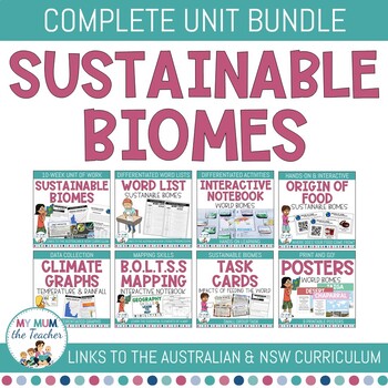
Sustainable Biomes: Year 9 Geography Unit - Australian & NSW Curriculum BUNDLE
This Bundle includes the Sustainable Biomes 10-week teacher program, assessments and activities PLUS the additional activities you will find throughout the unit of work. These activities will engage your students throughout the learning, cater to individual needs and ensure that knowledge is retained.When you download this file, you will receive a 10-week teacher program complete with teachable activities and differentiation strategies, a PowerPoint Presentation, formative and summative assessme
Subjects:
Grades:
7th - 10th
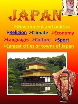
Japan Power Point Presentation | distance learning
Japan Power Point Presentation Climate Religion Economy Culture SportJAPAN POWERPOINT This is a beautiful and informative 44 slide PowerPoint presentation.Japan PowerPoint - Japan Activity - Quiz - Climate - Religion - Economy - Culture. This is a super fun slide show. I've given you 8 pages to look at in the Download Preview.The zip file contains: 2 products - PowerPoint presentation (44 slides)- PDF (42 pages )Iconic Japan, Japanese, Photos, Images, Culture, Society, Japanese cherry blossoms,
Subjects:
Grades:
1st - 10th
Showing 1-24 of 446 results


