146 results
Higher education geography classroom decor pdfs
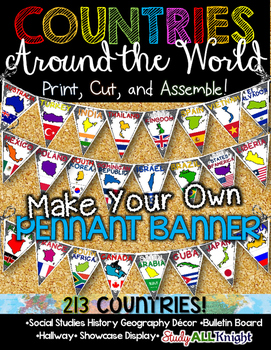
Countries Around the World Classroom Decor Make Your Own Pennant Banner
Worldwide Countries Classroom Decor Make Your Own Pennant BannerGrades K-12 social studies, history, geography, Model UN, global studies, world history Celebrate our world! Teachers can decorate their classrooms, hallway, gymnasium, media center, or anywhere in their building. You'll get 213 pennants to choose from. Pick pennants that represent your student's heritage, ethnicities, backgrounds, ancestry. They are colorful and awesome to look at. The countries pennant will bring enthusiasm and un
Grades:
PreK - 12th, Higher Education, Adult Education, Staff
Also included in: English Teacher Activities and Fun Bundle
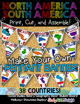
North America South America Classroom Decor Make Your Own Pennant Banner
North America South America Classroom Decor Make Your Own Pennant Banner
Grades K-12 social studies, history, geography, Model UN, global studies, world history
Celebrate our world! Teachers can decorate their classrooms, hallway, gymnasium, media center, or anywhere in their building. You'll get 38 pennants to choose from. Pick pennants that represent your student's heritage, ethnicities, backgrounds, ancestry.
They are colorful and awesome to look at. The countries pennant will bring enthu
Grades:
PreK - 12th, Higher Education, Adult Education, Staff
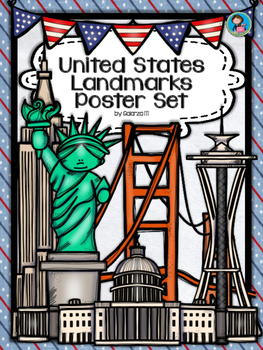
United States Landmarks Facts & Poster Set
If you are looking to improve your students skills in Geography here is the resource you need. I had so much fun researching these Landmarks and sparkle my skills also with the new facts on the most famous landmarks of the United States. Lots of information, but cool things you can use in class. Here is a set of Posters with their Fact Sheet. You can print it on card stock with double sided with the facts or separated to create your own activities for your students. The will have fun with ge
Grades:
PreK - 12th, Higher Education, Adult Education, Staff
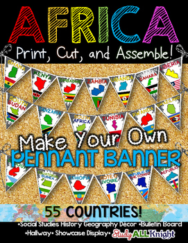
Africa Classroom Decor Make Your Own Pennant Banner
African Countries Classroom Decor Make Your Own Pennant Banner
Grades K-12 social studies, history, geography, Model UN, global studies, world history
Includes:
Ready for you to easily line up by using the directions on how to assemble. The preview shows more!
Includes:
★55 pennant printables – each flag represents a country: the name of the country, the country outline, and their flag.
55 COUNTRIES/ TERRITORIES:
Algeria
Angola
Benin
Botswana
Burkina Faso
Burundi
Cameroon
Cape Verde
Central A
Grades:
K - 12th, Higher Education, Adult Education, Staff
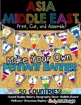
Asia Middle East Countries Classroom Decor Make Your Own Pennant Banner
Asia Middle East Countries Classroom Decor Make Your Own Pennant Banner
Grades K-12 social studies, history, geography, Model UN, global studies, world history
Includes:
Ready for you to easily line up by using the directions on how to assemble. The preview shows more!
Includes:
★50 pennant printables – each flag represents a country: the name of the country, the country outline, and their flag.
50 COUNTRIES/ TERRITORIES:
Afghanistan
Armenia
Azerbaijan
Bahrain
Bangladesh
Bhutan
Brunei
Cambodi
Grades:
K - 12th, Higher Education, Adult Education, Staff
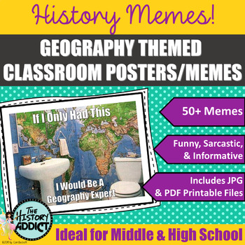
Geography Themed Classroom Posters (Memes)
What is a meme? Students will no doubt know exactly what a meme is, but probably have a hard time defining one. Essentially memes are humorous images or a piece of text that is spread rapidly by Internet users. Yep. That’s the basic definition. But who cares about that? Well, your students, of course. They create and distribute memes to their friends all the time. Why not take advantage of what they love doing and incorporate it in your classroom? One of my favorite ways to connect with students
Grades:
5th - 12th, Higher Education, Adult Education
Also included in: Middle Grade Geography Instructional Bundle
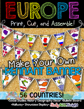
Europe Classroom Decor Make Your Own Pennant Banner
Europe Countries Classroom Decor Make Your Own Pennant Banner
Grades K-12 social studies, history, geography, Model UN, global studies, world history
Includes:
Ready for you to easily line up by using the directions on how to assemble. The preview shows more!
Includes:
★56 pennant printables – each flag represents a country: the name of the country, the country outline, and their flag.
56 COUNTRIES/ TERRITORIES:
Albania
Andorra
Armenia
Austria
Azerbaijan
Belarus
Belgium
Bosnia and Herzegovina
Grades:
K - 12th, Higher Education, Adult Education, Staff
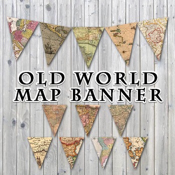
Old World Maps Banner - Printable - Includes 3 Different Sizes
Old World Maps Banner
This listing is for a PRINTABLE PDF file for the "Old World Maps" Banner, as shown.
You will receive 1 - 19 page PDF file that includes the banner in 3 different sizes. You will receive 12 pages with 1 pennant each, measuring approximately 7" x 9", 6 pages with 2 pennants each, measuring approximately 5.45" x 7" and 1 page with 24 pennants, measuring approximately 1.55" x 2". Pennants are scans from old, vintage maps.
Print them off on your own printer, cardstock paper i
Grades:
PreK - 12th, Higher Education, Adult Education, Staff
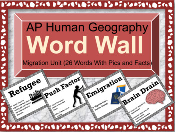
AP Human Geography Word Wall (Unit 2: Population & Migration)
Before you purchase this word wall, Consider purchasing all the units at one price for a Bundled Discount!!! (Get Access to all 7 Word Walls and Lifetime Updates) ULTIMATE WORD WALL BUNDLE (ALL UNITS)A lot of teachers know that word walls are extremely beneficial at helping out student retention before, during, and after a unit is being taught. Not only that, but teachers can point them out more frequently so students can increase their academic vocabulary. If you're teaching AP Human Geograph
Subjects:
Grades:
9th - 12th, Higher Education
Also included in: AP Human Geography Word Wall MEGA BUNDLE
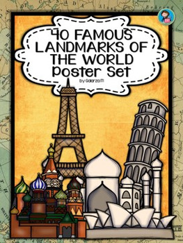
40 Famous Landmarks of the World Poster Set
If you are looking to improve your students skills in Geography here is the resource you need. I had so much fun researching these Landmarks and sparkle my skills also with the new facts on the most famous landmarks of the World. Lots of information, but cool things you can use in class. Here is a set of Posters each with a Fact Sheet. You can print it on card stock with double sided with the facts or separated to create your own activities for your students. The will have fun with geography
Grades:
PreK - 12th, Higher Education, Adult Education, Staff
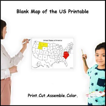
Large Blank US Map With States Labeled (4 sheets)
Instant download print at home blank map of the United States with states labeled.4 sheets of paper designed to interlock with each other.Fun way to learn about the country and its states.Involves activities like cutting, assembling, and coloring that help develop motor coordination, creativity, concentration, and organization.Size after assembled (approximately):4 sheets: 19 x 13.5 in (47.5 x 34.5 cm)More sizes available:9 sheets - Click here16 sheets - Click here
Grades:
K - 12th, Higher Education, Adult Education
Types:
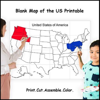
Giant Blank US Map Without States Labeled (16 sheets)
Instant download print at home blank map of the United States without states labeled.16 sheets of paper designed to interlock with each other.Fun way to learn about the country and its states.Involves activities like cutting, assembling, and coloring that help develop motor coordination, creativity, concentration, and organization.Size after assembled (approximately):16 sheets: 38 x 27 in (95 x 69 cm)More sizes available:4 sheets - Click here9 sheets - Click here
Grades:
K - 12th, Higher Education
Types:
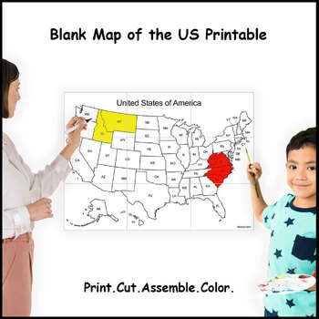
Giant Blank US Map With States Labeled (9 sheets)
Instant download print at home blank map of the United States with states labeled.9 sheets of paper designed to interlock with each other.Fun way to learn about the country and its states.Involves activities like cutting, assembling, and coloring that help develop motor coordination, creativity, concentration, and organization.Size after assembled (approximately):9 sheets: 28 x 20 in (71.5 x 51.5 cm)More sizes available:4 sheets - Click here16 sheets - Click here
Grades:
K - 12th, Higher Education
Types:

Giant Blank US Map Without States Labeled (9 sheets)
Instant download print at home blank map of the United States without states labeled.9 sheets of paper designed to interlock with each other.Fun way to learn about the country and its states.Involves activities like cutting, assembling, and coloring that help develop motor coordination, creativity, concentration, and organization.Size after assembled (approximately):9 sheets: 28 x 20 in (71.5 x 51.5 cm)More sizes available:4 sheets - Click here16 sheets - Click here
Grades:
K - 12th, Higher Education
Types:
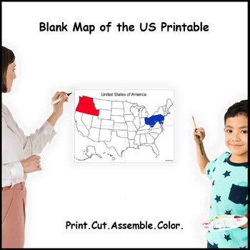
Large Blank US Map Without States Labeled (4 sheets)
Instant download print at home blank map of the United States without states labeled.4 sheets of paper designed to interlock with each other.Fun way to learn about the country and its states.Involves activities like cutting, assembling, and coloring that help develop motor coordination, creativity, concentration, and organization.Size after assembled (approximately):4 sheets: 19 x 13.5 in (47.5 x 34.5 cm)More sizes available:9 sheets - Click here16 sheets - Click here
Grades:
K - 12th, Higher Education
Types:
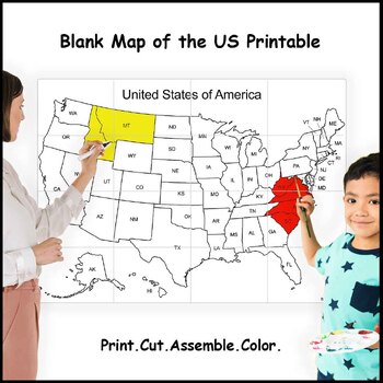
Giant Blank US Map With States Labeled (16 sheets)
Instant download print at home blank map of the United States with states labeled.16 sheets of paper designed to interlock with each other.Fun way to learn about the country and its states.Involves activities like cutting, assembling, and coloring that help develop motor coordination, creativity, concentration, and organization.Size after assembled (approximately):16 sheets: 38 x 27 in (95 x 69 cm)More sizes available:4 sheets - Click here9 sheets - Click here
Grades:
PreK - 12th, Higher Education
Types:

Understanding Discrimination Around the World
Check out the examples of student work in the thumbnails! Dive into the complexities of discrimination with this engaging and thought-provoking project, "Understanding Discrimination Around the World." In today's interconnected world, fostering empathy, awareness, and critical thinking skills in students is more crucial than ever. This project offers a unique opportunity to explore the multifaceted nature of discrimination across diverse cultures and regions, empowering students to become inform
Grades:
10th - 12th, Higher Education
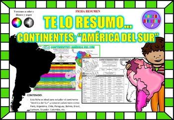
FICHA RESUMEN - Te lo Resumo... "América del Sur" (IMPRIMIBLES) |GEOGRAFÍA|
A sus estudiantes les encantará esta ficha resumen sobre "Los Continentes: América del Sur". Esta hoja incluye pequeños datos del hombre de: Perú, Chile, Argentina, Brasil, Paraguay, Venezuela, etc. Esta hoja resumen es perfecta para revisión, una actividad rápida, un proyecto de investigación, un organizador gráfico, centros, proyectos de toda la clase o proyectos de equipo. Los estudiantes pueden divertirse mientras aprenden todo sobre el continente de América del Sur. ¡Esta hoja resumen es pe
Grades:
PreK - 12th, Higher Education, Adult Education
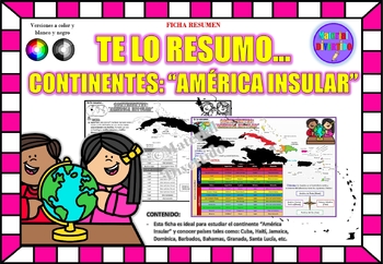
FICHA RESUMEN - Te lo Resumo... "América Insular" (IMPRIMIBLES) |GEOGRAFÍA|
A sus estudiantes les encantará esta ficha resumen sobre "Los Continentes: América Insular (Antillas)". Esta hoja incluye pequeños datos del hombre de: Cuba, Haití, Jamaica, Dominica, Barbados, Bahamas, Granada, Santa Lucía, etc. Esta hoja resumen es perfecta para revisión, una actividad rápida, un proyecto de investigación, un organizador gráfico, centros, proyectos de toda la clase o proyectos de equipo. Los estudiantes pueden divertirse mientras aprenden todo sobre el continente de América In
Grades:
PreK - 12th, Higher Education, Adult Education
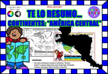
FICHA RESUMEN - Te lo Resumo... "América Central" (IMPRIMIBLES) |GEOGRAFÍA|
A sus estudiantes les encantará esta ficha resumen sobre "Los Continentes: América Central". Esta hoja incluye pequeños datos del hombre de: Guatemala, El Salvador, Honduras, Nicaragua, Belice, Panamá y Costa Rica. Esta hoja resumen es perfecta para revisión, una actividad rápida, un proyecto de investigación, un organizador gráfico, centros, proyectos de toda la clase o proyectos de equipo. Los estudiantes pueden divertirse mientras aprenden todo sobre el continente de América Central. ¡Esta ho
Grades:
PreK - 12th, Higher Education, Adult Education
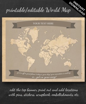
World Map Printable - Printable Editable Map Instant Download - Geography
The perfect printable for:
- geography lessons,
- plotting character's journeys in books,
- marking the regions you learn about throughout the year,
- tracking family history,
- practicing country and continent memorization,
- reviewing current events,
- and more!
ABOUT THE MAP
Printable on US Letter size paper (8.5"x11" or 21.59cm x 27.94cm) you'll need a pdf reader to open. Opened with Adobe, you'll be able to edit the top banner with your name, child's name, year, book title, "Our Advent
Grades:
3rd - 12th, Higher Education
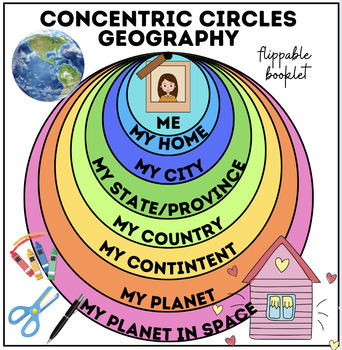
Concentric Circles Geography | Me, My Home, My Country, My Continent, My Planet
✨ **Explore the World with Concentric Circles Geography!** ✨Attention Educators! Are you looking for an innovative and engaging way to teach geography to your students? Introducing Concentric Circles Geography – a comprehensive curriculum that guides students on a journey from self-awareness to global citizenship, all through the lens of concentric circles.**What's Included:** **Me, My Home:** Begin by exploring students' immediate surroundings – their homes, neighborhoods, and communities. Enco
Subjects:
Grades:
PreK - 12th, Higher Education, Adult Education, Staff
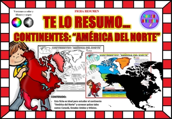
FICHA RESUMEN - Te lo Resumo... "América del Norte" (IMPRIMIBLES) |GEOGRAFÍA|
A sus estudiantes les encantará esta ficha resumen sobre "Los Continentes: América del Norte". Esta hoja incluye pequeños datos del hombre de: Canadá, Estados Unidos y México. Esta hoja resumen es perfecta para revisión, una actividad rápida, un proyecto de investigación, un organizador gráfico, centros, proyectos de toda la clase o proyectos de equipo. Los estudiantes pueden divertirse mientras aprenden todo sobre el continente de América del Norte. ¡Esta hoja resumen es perfecta para presentar
Grades:
PreK - 11th, Higher Education, Adult Education
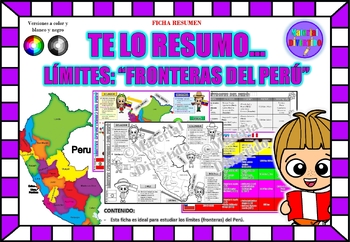
FICHA RESUMEN - Te lo Resumo... "Fronteras del Perú" (IMPRIMIBLES) |GEOGRAFÍA|
A sus estudiantes les encantará esta ficha resumen sobre "Los Tratados Limítrofes del Perú". Esta hoja incluye pequeños datos de los tratados limítrofes: Protocolo de Rio de Janeiro, Tratado Salomón-Lozano, Tratado Velarde-Rio Branco, Tratado Rectificación de Fronteras “Polo-Bustamante” y Tratado de Lima. Esta hoja resumen es perfecta para revisión, una actividad rápida, un proyecto de investigación, un organizador gráfico, centros, proyectos de toda la clase o proyectos de equipo. Los estudiant
Grades:
1st - 12th, Higher Education, Adult Education
Showing 1-24 of 146 results


