185 results
Higher education geography cultural activity pdfs
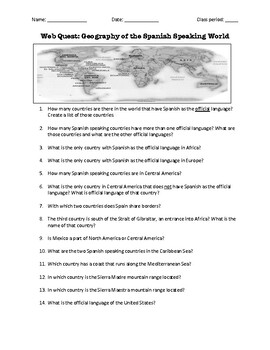
Web Quest: Geography of the Spanish-Speaking World (emergency sub plan)
This activity contains 40 questions in English written in a trivia format. It is excellent if you plan to have a substitute teacher as it will keep your students busy researching answers. The questions can also be useful to motivate class discussion. Includes answer key.
Subjects:
Grades:
5th - 12th, Higher Education, Adult Education
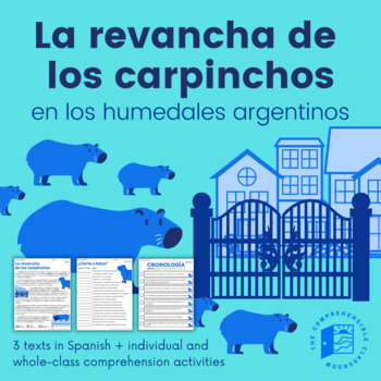
Capybaras' Revenge (Current Events) - 3 versions + activities in Spanish
La revancha de los carpinchos is a current event from 2021 in the suburbs of Buenos Aires, Argentina. Due to habitat loss, capybaras have invaded private, gated communities in search of food. But, who are the real invaders?This resource features three versions of La revancha de los carpinchos, all written in Spanish: Básico, Intermedio, and Avanzado. The Básico text will be a good fit for students that are nearing the end of their first year of Spanish, particularly students that have completed
Subjects:
Grades:
7th - 12th, Higher Education

Japanese Country Study Japan History And Culture Japan Study Unit Packet
Social Studies Geography Pack to study Japan and its culture, history, SAMURAI, NINJA, GEISHA, ORIGAMI, SAKURA (cherry blossom), Japanese tea, language, Japanese ancient toys and clothes, Japanese emigration to Brazil, customs, their contribution to the world, and the facts with all the main information gathered.Great for Cultural / Social Studies Centers, doing it as a special workgroup, a Japan Exhibition/ Exposition, or an introduction to this topic! - it can be done individually, in pairs, o
Subjects:
Grades:
3rd - 12th, Higher Education, Adult Education, Staff
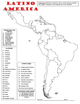
Map of Latin America - Mapa de Latino America
DISCOVER LATIN AMERICA in SPANISH! This worksheet can be a great way to introduce or review Latin America and its geography. Students will have to identify and label the countries, bodies of water, cities and other important geographic places like mountain ranges. The instructions are in Spanish and the name of the countries, cities, etc. are in Spanish.
Subjects:
Grades:
3rd - 12th, Higher Education
Spanish Speaking Countries
Geography, Culture, and Flags for 21 Spanish Speaking Countries
Interactive Notebook Activities
This interactive notebook set includes:
1. Anchor Chart: Includes the flags of all 21 Spanish speaking countries
2. Spanish Speaking Countries File Book (Continent Facts - Color & black/white)
3. Spanish Speaking Countries Map Flap Book
( All countries are included in map labeling but Spanish Speaking countries are specified by stars. Continents include N. America, Caribbean, S. Ameri
Subjects:
Grades:
1st - 12th, Higher Education
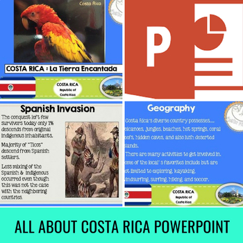
Costa Rica, A Culture Power Point in English with Response Questions (84 Slides)
This Costa Rica Power Point Presentation in English is the perfect tool to introduce your students to Costa Rican Culture, History, Sites to visit, Legends, Animals, and Foods.
This 84 slide Costa Rica Power Point presentation is eye catching and full of pictures!
Great for Social Studies class. Perfect for Hispanic Heritage Month (September 15 - October 15)
This presentation Includes:
** Important Facts of Costa Rica,
** History of Costa Rica,
** Animals in Costa Rica,
** Costa Rican Nati
Subjects:
Grades:
5th - 12th, Higher Education, Adult Education, Staff
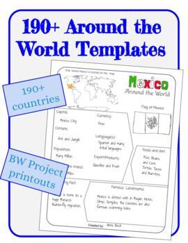
Around the World - World Country Research Project Template 190+ pages
Around the World - World Country Research Project Templates are great for your students to use to research new locations. Students can do a group project or individual research and presentation by coloring and writing on these printouts and can present what they learned to the class.Included:190+ countries B&W printableOne blank page for if hand written customization is desiredPlease note that this product is not editable, please preview before you buy.Countries:AfghanistanAlbaniaAlgeriaAndo
Grades:
K - 12th, Higher Education, Adult Education
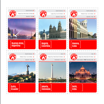
CARMEN SANDIEGO - Geography Card Game, learn about geography, populations, langu
Geography Card Game, learn about geography, populations, languages in this card game featuring international cities.Learn with Carmen Cards!With this printable card game, kids learn about cities around the world, from Canberra to Ottawa to Quito.CARMEN CARDSHow to playDeal six cards to each player. Place the remaining cards in a draw pile, face down. Flip one card over to start a discard pile. The youngest player goes first. Play continues clockwise. In each turn, try to play a card from your ha
Grades:
2nd - 12th, Higher Education, Adult Education, Staff
BUNDLE: American States & Cities with Spanish Names
This BUNDLE will work as one week's worth of emergency sub plans for a Spanish class! Includes matching/translation exercises of names of US cities and states (e.g. Nevada, Colorado, Las Vegas, Amarillo, Santa Fe), word searches, unscrambling exercises, maps to label, and extension exercises for fast finishers!
So many American cities have Spanish names!
I designed this product so that students of Spanish can learn the translations of many of the cities and towns in the US. This INCLUDES 4 of
Subjects:
Grades:
5th - 12th, Higher Education, Adult Education
GEOGRAPHY, NORTH KOREA & SOUTH KOREA, ESCAPES: WHY DID KOREA SPLIT?
Have you ever wondered why and how Korea split into North Korea (Communism) and South Korea (Democracy)? Did you know that the U.S. played a huge part in the split of the Korean Peninsula? Do you wonder what it may be like living in North Korea? South Korea? What are the scenarios behind North Korean escapes and how do South Koreans feel about the split? This lesson is filled with 39 pages of quality, high-level learning materials, and detailed instruction. In addition to objectives, a list of m
Subjects:
Grades:
7th - 12th, Higher Education, Adult Education
Types:
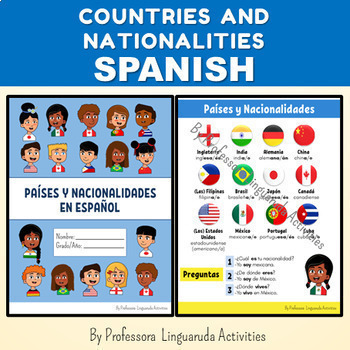
COUNTRIES AND NATIONALITIES IN SPANISH NO PREP - Países y Nacionalidades
COUNTRIES AND NATIONALITIES IN SPANISH NO PREP BACK TO SCHOOLSOUTH AMERICA MAP ACTIVITY Países y nacionalidades en españolEste recurso contiene 13 páginas.-Portada/Capa en inglés y español;-Lista con países y nacionalidades: México, Brasil, Japón, Alemania, Canadá, Cuba, Estados Unidos, Filipinas, China, Inglaterra, India y Portugal;-Verbos SER y VIVIR con 3 opciones de pronombres: 1-completo, 2- no incluye vosotros, 3-no incluye usted(s) o vosotros;-Preposiciones y artículos;-Nacionalidades en
Subjects:
Grades:
4th - 9th, Higher Education
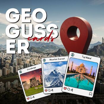
Geogusser Geography Cards Map Activities Project Worksheet Lesson Search
Geogusser full lesson presentation digital resourcesThis PDF is a comprehensive geography lesson plan that utilizes 44 unique landmark cards from around the world. Each card features a stunning image of a famous landmark, along with its name and location. The lesson plan is designed to be interactive and engaging, incorporating a variety of card games that test and improve students’ geographical knowledge.Here are the games included in the lesson:Landmark Guess: Students guess the country of var
Subjects:
Grades:
PreK - 12th, Higher Education, Adult Education, Staff
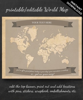
World Map Printable - Printable Editable Map Instant Download - Geography
The perfect printable for:
- geography lessons,
- plotting character's journeys in books,
- marking the regions you learn about throughout the year,
- tracking family history,
- practicing country and continent memorization,
- reviewing current events,
- and more!
ABOUT THE MAP
Printable on US Letter size paper (8.5"x11" or 21.59cm x 27.94cm) you'll need a pdf reader to open. Opened with Adobe, you'll be able to edit the top banner with your name, child's name, year, book title, "Our Advent
Grades:
3rd - 12th, Higher Education
Passport to Adventure! A geography themed research project.
Take students on an exciting journey with Passport to Adventure Project. This engaging and interdisciplinary project transforms your classroom into a hub of creativity, research, and persuasive communication as students become magical travel agents, convincing their peers to explore the wonders of a specific country.Project Overview: In this project, students don the role of travel agents tasked with creating a persuasive travel brochure to showcase the captivating features of their assigned cou
Grades:
6th - 12th, Higher Education, Adult Education
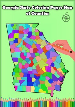
Georgia State Coloring Pages Map of Counties Highlighting Rivers Lakes Cities
Click Here>>> for more interactive resourcesGeorgia State Coloring Pages Map of Counties Highlighting Rivers Lakes CitiesOpen your mind to Georgia colorful adventure with these exciting coloring pages! Explore and bring each Georgia county to life with these detailed and engaging illustrations. Each page offers a unique opportunity to explore Alabama's geography, highlighting its rivers, lakes, and key towns.These coloring pages are ideal for anyone interested in discovering the beauty
Grades:
PreK - 12th, Higher Education
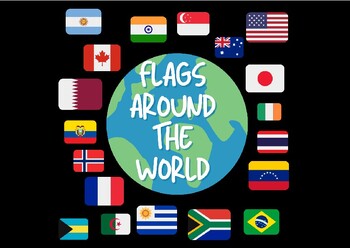
Flags Around The World- Jumbo Cards
Flags Around The World!!These Jumbo Cards contain 87 countries! Perfect for social studies and fun learning activities!!
Grades:
PreK - 12th, Higher Education, Adult Education

All About India English version - classroom
Explore the richness of Indian culture with my meticulously crafted document! Immerse yourself in a captivating journey through India with this detailed document on culture, daily life, and more. I've included videos and links to external documents for a complete immersion.Endorsed by my Indian friend from Calcutta, this document is acclaimed for its authentic cultural insight. Ideal for courses on English-speaking countries, it can be used from kindergarten to 8th grade, depending on how you
Subjects:
Grades:
K - 8th, Higher Education, Adult Education, Staff
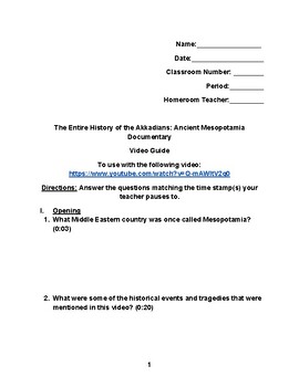
Mesopotamia Video Guide
This video guide contains questions that go with the YouTube video "The Entire History of the Akkadians: Ancient Mesopotamia Documentary." This also can go with a lesson dealing with the history of the Middle East (Southwest Asia).
Subjects:
Grades:
6th - 12th, Higher Education
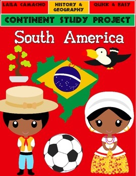
South America: Continent Project
This is a 20 page, 40 question, research project on the continent of South America.
Students are asked to do the following- name the continent, name the hemisphere, list the countries, draw the country flags, list all major water bodies, describe the size of the continent, list the approximate population, label the political map, find the largest country, find the smallest country, list islands that are a part of the continent, list major land and waterforms, list plants and vegetation, list t
Grades:
3rd - 12th, Higher Education, Adult Education, Staff
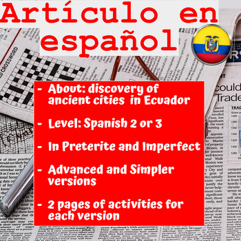
SPANISH ARTICLE: 2 versions with activities to practice
This is a real news article in Spanish for your Spanish 2 or 3 Levels. Your students will have the chance to read about a discovery in Ecuador in simple language and learn about history. There are 2 versions of the same article: an intermediate/advanced version and a simpler/shorter version. Both versions come with 2 pages of activities that you can give after you/they read the article and work the oral analysis. The worksheets for both versions deal with reading comprehension, vocabulary, map o
Subjects:
Grades:
9th - 12th, Higher Education, Adult Education
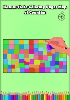
Kansas State Coloring Pages Map of Counties Highlighting Rivers Lakes Cities
Click Here>>> for more interactive resourcesKansas State Coloring Pages Map of Counties Highlighting Rivers Lakes CitiesOpen your mind to Kansas colorful adventure with these exciting coloring pages! Explore and bring each Kansas county to life with these detailed and engaging illustrations. Each page offers a unique opportunity to explore Alabama's geography, highlighting its rivers, lakes, and key towns.These coloring pages are ideal for anyone interested in discovering the beauty and
Grades:
PreK - 12th, Higher Education

CARMEN SANDIEGO - Write About Helping Others, Create a stamp etc 3 Lessons
CARMEN SANDIEGO - Write About Helping Others. Teacher lesson plan. 3 LessonsWrite About Helping OthersInspired by Carmen Sandiego Episode 8, OR this can be completed independently without watching the episode. Kids write an essay describing how they can help others.3 LessonsMap Quest: Make a Brochure of San FranciscoStudents create a brochure of San Francisco that includes a map of important sites.Estimated Time: Two 45-minute periodsMaterials Needed: Atlases or maps of San Francisco, writing ma
Grades:
3rd - 9th, Higher Education, Adult Education, Staff
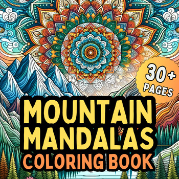
Mountain Mandalas Coloring Book | 30+ Mandala Coloring Pages | Mountains, Nature
Mountain Mandalas Coloring Book: 30+ Mandala Coloring Pages | Mountain Outdoors Zen Relaxation MandalasDive deep into the world of mountain-inspired tranquility with the "Mountain Mandalas Coloring Book." Perfectly curated for enthusiasts aged 8 to 18 and beyond, this masterpiece offers a unique blend of intricate mandalas set against the serene backdrop of mountainous landscapes.Product Features:30+ Unique Mandalas: Inspired by the grandeur of mountains, every page unfolds a new vision of natur
Subjects:
Grades:
6th - 12th, Higher Education, Adult Education
NEW! Geography — Going Somewhere: Introduction to Immigration and Migration
This a great, fun way to introduce and understand the causes and consequences, as well as the differences between immigration, emigration, & migration— Incorporates music and allows interaction through cooperative groups!Students will enjoy listening to and analyzing a migration song. Incorporating music into the classroom increases understanding and interest in the subject—acts as a motivating factor. Students will then move into cooperative groups and will rotate stations where they will r
Subjects:
Grades:
7th - 12th, Higher Education
Showing 1-24 of 185 results


