51 results
Higher education geography graphic organizer pdfs
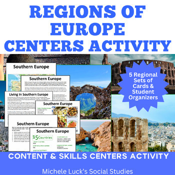
Regions of Europe Centers Activity for European Geography or Culture Study
Introduce your students to the regions of Europe with this easy to prep Centers or Stations Activity. At each regional center, students will read geographic information on the region, view maps and discover physical features and statistics, view data from the region on cultural and human characteristics, and read current articles on the regions of Europe (using internet links provided in teacher directions). Included:Reading Cards on each RegionImage Cards on each RegionMap Cards on each Regi
Subjects:
Grades:
6th - 10th, Higher Education
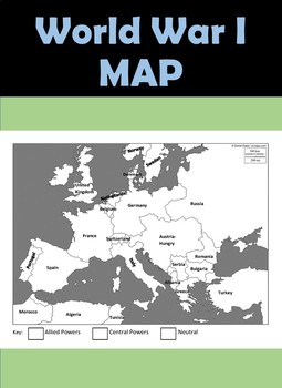
WW1 Map - World War I Map
This WWI map is perfect for students - it comes already labeled so all your students have to do it color code the Allies and Central Powers. Other Maps:World War II MapCold War MapMap Bundle - WWI, WWII, and Cold War - $5Be the first to know about new products (all new products are free first 24 hours) and sales!!Look for the green star next to my store logo and click it to become a follower. Voila!You will now receive email updates about this store. ☺Follow us on:History Hive - FacebookHistory
Subjects:
Grades:
6th - 11th, Higher Education, Adult Education
Also included in: Map Bundle - WWI Map, WWII Map, Cold War Map
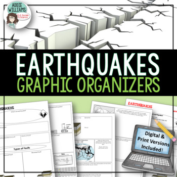
Earthquakes / Faulting Graphic Organizer | Print & Digital
Earthquakes / Faulting Graphic Organizer - A great way for students to organize information on earthquakes and faulting. Instead of asking students to take traditional notes, they fill in the graphic organizer - either as review or instead of standard question and answer in a textbook. Excellent for review or group work. Includes 4 pages of organizers and all answer keys!Also includes a link to a Google™ Slides version of the organizers so students can add text, images, color and more while wo
Subjects:
Grades:
8th - 10th, Higher Education, Adult Education
Also included in: Plate Tectonics / Earthquakes / Volcanoes Organizers | PRINT & DIGITAL
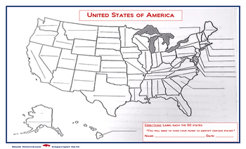
United States Map: Fill in the Blank
A map of the United States, with blanks for each of the 50 states to be filled in. Due to the size of the states and user friendly format, the print out should be on a legal sized paper (8.5 x 14)
A larger version is also available in store. (11 x 14)
Grades:
4th - 12th, Higher Education, Adult Education
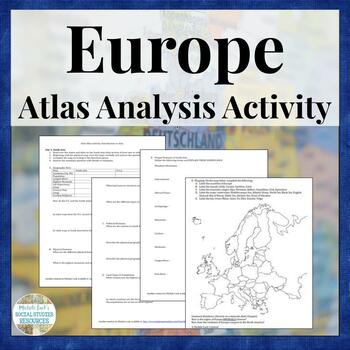
Europe Atlas Activity for Physical & Political Geography Mapping Analysis
Teaching the physical and human Geography of Europe? Want to examine the geographic data on the modern European nations? Looking for a no prep, collaborative resource to introduce a Geography of Europe unit? This is it!This is a student-centered investigation of the Geography and statistics of Europe for an introduction to a unit on the Geography of the continent. Skills Practiced:AnalysisMappingInquiryVocabularyComparisonData Reading & CategorizationStudents may be assigned to work individ
Grades:
6th - 12th, Higher Education
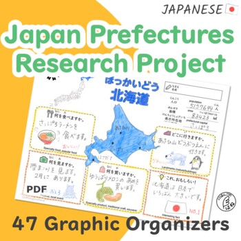
Japan Prefectures Research Project - Graphic Organizer of 47 Prefectures
To research geographic features of Japan will grow students' interest in Japan!This worksheet allows your students to research and understand food, landmarks, cultural events, and specialty products in each prefecture of Japan.You can assign one or two prefecture(s) to each student as a class project or pick a prefecture to focus on every week.■ LanguageJapanese ■ Level / AgeElementary ~ Intermediate / G7 and up ■ Activity typeIndividual work Research project ■ Learners will be able toEnhance un
Subjects:
Grades:
7th - 12th, Higher Education, Adult Education
NEW! Economic Interdependence & Globalization Geography Lesson
How important is teaching globalization and economic interdependence? Globalization and Interdependence describes the relationships of mutual dependence between all elements and life forms (including humans) within and across cultures, environments, and social systems. Today, more than ever before, globalization and interdependence are part of our everyday local lives. We are linked to others on every continent even if we don't realize it. We are linked through social media and telecommunication
Grades:
7th - 12th, Higher Education
Types:

Environmental Investigation on Europe for Geography Climate Global Warming
Study the Environmental Issues of Europe in this engaging Geography activity! This is an investigative study for students to evaluate the environment of Europe at the end of a unit on the Geography of Europe. It is designed for a middle or high school Geography course for a 90 minute block schedule, but could easily be adapted to a 2-day traditional lesson.Students are provided websites with links to interactive maps and environmental data on a variety of topics for the European continent. The
Grades:
6th - 12th, Higher Education

European Current Events and News Geography Activity
Examine European Current Events to bring your European Geography unit to life! Allow students to practice analysis and other skills as they investigate current events in Europe.This internet-based activity allows students to investigate the current news and reports from a selection of news outlets. The student handout provides the web links and guided questioning in a real-world data reporting format. Students are prompted to complete their investigation of the news and then to share with a cl
Grades:
6th - 12th, Higher Education
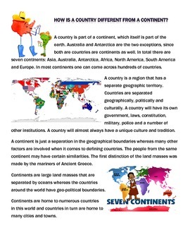
Comparing Continents and Countries Reading and Venn Diagram
This is a simple, one-page reading which discusses some similarities and differences between countries and continents. At the conclusion of the reading, students are asked to complete a Venn Diagram comparing continents and countries using the reading.
Grades:
4th - 12th, Higher Education, Adult Education
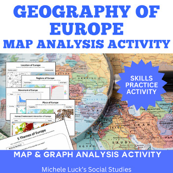
5 Themes of Geography for Europe Map & Data Analysis Activity
Study the 5 Themes of Geography in Europe in this engaging Geography activity! This is an analysis activity for students to evaluate the themes of Europe in a unit on the Geography of Europe. It is designed for a middle or high school Geography course.Students are provided data cards with maps or graphed data for the 5 Themes of Geography on a variety of topics for the European continent. They will collect their data on a graphic organizer.Wrap-up questions as students to evaluate the informa
Grades:
6th - 12th, Higher Education
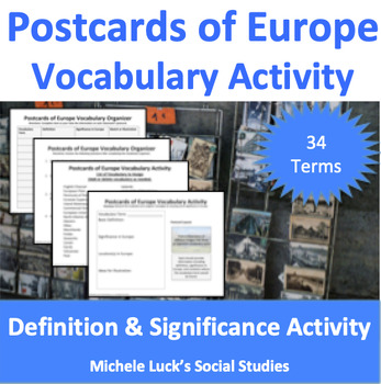
Postcards of Europe Vocabulary Activity | European Geography or Culture Study
Introduce your students to the Geographic Vocabulary of Europe with this easy to prep Postcard Creation Activity. Students will be assigned vocabulary terms to investigate and create postcards to share with the class to help all become familiar with the terms needed for a Geography of Europe unit of study. Included:Vocabulary List of Suggested TermsPostcard Creation GuideVocabulary OrganizerWrap-Up Questions & Discussion PromptsTeacher DirectionsGeographic Terms Included:English ChannelEur
Subjects:
Grades:
6th - 10th, Higher Education
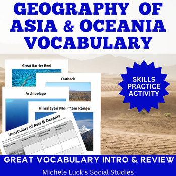
Asia & Oceania Vocabulary Activity | Physical Geography Analysis Activity
Introduce your students to the Geographic Vocabulary of Asia & Oceania with this easy to prep Image Analysis Activity. Students will be introduced images on key physical features of the region and will analyze the images to better understand geography's impact on the region. Included:12 Image Cards on Each Geographic FeatureVocabulary OrganizersWrap-Up Questions & Discussion PromptsTeacher DirectionsGeographic Terms Included:Gobi DesertGreat Barrier ReefHimalayan Mountain RangeBikini A
Subjects:
Grades:
6th - 10th, Higher Education
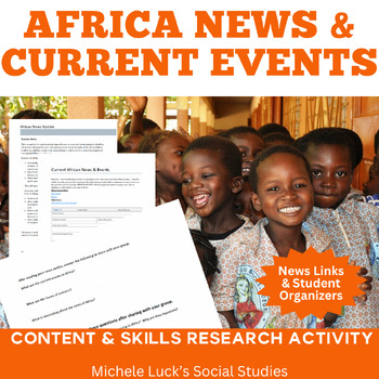
African Current Events and News Geography Activity Africa Media Geography
Examine African News and Current Events to bring your Geography of Africa unit to life! Allow students to practice analysis and other skills as they investigate current events in Africa.This internet-based activity allows students to investigate the current news and reports from a selection of news outlets. The student handout provides the web links and guided questioning in a real-world data reporting format. Students are prompted to complete their investigation of the news and then to share
Grades:
6th - 12th, Higher Education
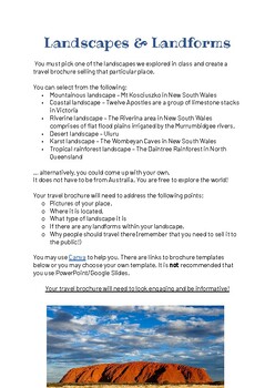
Landscapes & Landforms (Geography) Travel Brochure
Tailored for Stage 4 Geography Students, the "Landscapes & Landforms" filler activity is an engaging tool designed to inspire students to consolidate their unit knowledge through the creation of a captivating brochure. This resource includes clear guidelines, examples, and accessible templates, ensuring students can seamlessly navigate the task. Whether woven into classroom exercises, utilised as a comprehensive summary task, or employed for early finishers, it offers both entertainment and
Subjects:
Grades:
7th, Higher Education
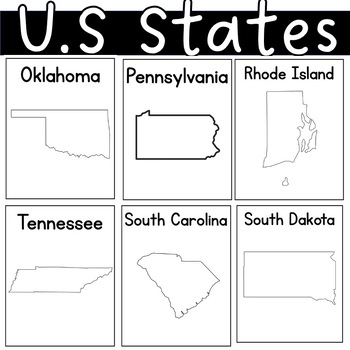
US state United States of America Outline Worksheets Posters Coloring Sheet
I had students illustrate the charateristics of each state. By the end of our unit, each student had their self-made posters. I also added some black pages with only the state's name.
Grades:
PreK - 12th, Higher Education, Adult Education
World Geo & Cultures BUNDLE: Create Your Own Atlas
Students explore nine (9) regions of the world by creating their own atlas. No more cutting, gluing, and pasting into journals. This bundle is 100% digital and can be used in-class or for distance learning. Pairs great with ready-made lessons about:Maps, Graphs, and Charts;Social Institutions; andElements of Culture.Be sure to also follow eduKateTX on Facebook to receive updates about new releases, product sales, and free Time Saving Tech Tips for Busy Teachers. All products are designed to be u
Subjects:
Grades:
6th - 12th, Higher Education, Adult Education
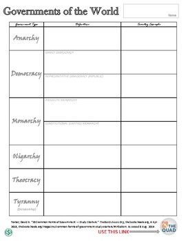
Governments of the World Webquest/Graphic Organizer
The Governments of the World Webquest contains a simple graphic organizer designed to reinforce planning, research, and summarizing. Used as either a formative or summative assessment, this webquest allows students the opportunity to discover the variety of major world governments as they read and summarize significant information. Be sure to use the embedded link in “The Quad” graphic at the bottom of the page. Included in the purchase are: - Governments of the World Webquest **due to variance
Subjects:
Grades:
4th - 12th, Higher Education
Types:
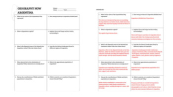
Geography Now Argentina Video Questions
Video questions and answer key for the Geography Now: Argentina video which can be found for free on Youtube at the following link: video here.
Grades:
7th - 12th, Higher Education, Adult Education
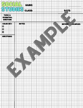
Social Studies Focused Note Pages
This download contains Focused Notes pages for all of the Social Studies classes offered at the secondary level: Geography, World History, European History, U.S. History, History (general), Economics, Psychology, Sociology, and Government.The file is one large PDF with different first pages to match the class and several summary pages with different colors.Did I forget one? Send me a message, and I will add it!
Grades:
5th - 12th, Higher Education, Adult Education
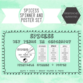
SPICESS - Key terms in Geography - spinner and poster set
The concepts of Space, Place, Interconnection, Change, Environment, Sustainability and Scale (SPICESS) are fundamental concepts for geography students today. This resource links directly to the Geographical knowledge and understanding strand of the Australian Curriculum. This spinner will help your students have a tangible graphic organiser that will help them remember the acronym and how to apply it in their geographical studies.
The pack includes 4 different spinner and poster designs (1x bla
Subjects:
Grades:
1st - 12th, Higher Education
Our Country. Graphic Organizer. Research Template. Geography. ESL. EFL.
Students research and then present the basic facts and data about a country of the world using these graphic organizers. A simple, fantastic lesson and extend with classroom presentations of their posters and putting them up for all to see. A number of different options. Also, one organizer to research and compare 2 countries. Also, see our terrific - Country Project. ESL, EFL, ESOL, prompts, geography, countries, research, groups, learning English, printables, teaching English, vocabulary, hom
Subjects:
Grades:
4th - 10th, Higher Education, Adult Education
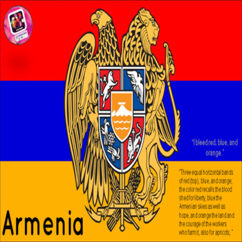
Armenia-Geographic overview of the country; graphic organizer for notes attached
If you are looking for a quick geographic overview of Armenia you came to the right place. This presentation provides eye-catching images and description of the country in a summary. Work cited page is provided at the end.
Graphic organizer allows students to take notes as they listen to the presentation.
-----------------------------------------------------------------------------------------------------------------------
Thank you for stopping by!
Grades:
5th - 12th, Higher Education, Adult Education
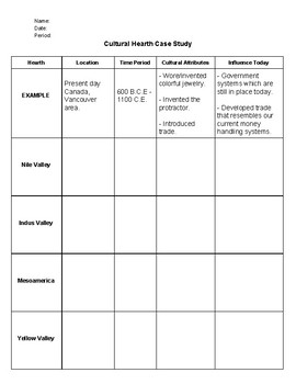
Cultural Hearths Graphic Organizer
A short researched-based graphic organizer that takes students through four different cultural hearths.
Subjects:
Grades:
6th - 12th, Higher Education, Adult Education
Showing 1-24 of 51 results


