17 results
Free Kindergarten geography interactive notebooks
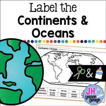
Label the Continents and Oceans: Cut and Paste
This cut and paste activity provides an opportunity for your students to practice labeling the continents and oceans on a world map.
Subjects:
Grades:
K - 5th
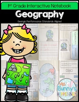
FREE Geography Interactive Notebook (1st Grade)
The Geography Interactive Notebook allows students to play an active role in their learning. The activities in this resource can be used to introduce or practice the Georgia Performance Standards:
SS1G2 The student will identify and locate his/her city, county, state, nation, and continent on a simple map or a globe.
SS1G3 The student will locate major topographical features of the earth's surface.
a. Locate all of the continents: North America, South America, Africa, Europe, Asia, Antarctica
Subjects:
Grades:
K - 2nd
FREEBIE DIGITAL Interactive Notebook *Maps Help Us* on Google Slides
MAPS Skills: Compass Rose, map key and symbols, city, state, school, and country for USA, and quick check formative assessmentMake your own copy, then share your copy with your students. Let them edit their own copy so that they can type into their copy.
Grades:
PreK - 2nd
Types:
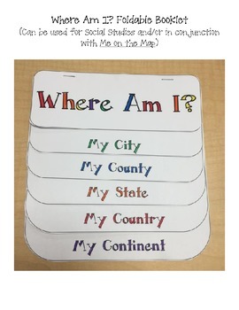
Where Am I? Printable Booklet / Foldable for Social Studies
This printable can be used along or glued into an interactive notebook. It is great used for Social Studies to teach geography.
Pages include:
-My City
-My County
-My State
-My Country
-My Continent
It is great used with the book Me on the Map.
Subjects:
Grades:
K - 8th
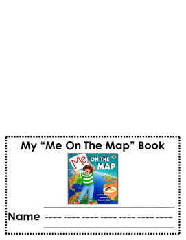
"Me on the Map" Booklet
Based upon the book by Joan Sweeney, students are able understand their relationship to the world around them by completing this "Me on the Map" booklet. (This booklet is meant to be stapled into a layered-folded booklet with the names of each map displayed on the bottom of the finished product.)
Subjects:
Grades:
K - 2nd
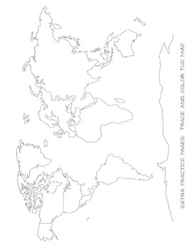
Map Tracing - Blob Mapping - Blank World Map - For All Ages
This is a great printable for your child to learn how to draw the map of the world. I have my kids trace the continents and then try and redraw it or trace over another paper. Eventually, the goal is to have them draw a map of the world by memory.
Perfect for all ages!
This is a great addition for your Classical Conversations notebook!
Check out my other freebies and other CC notebooks!
Subjects:
Grades:
PreK - 6th
Also included in: CC Cycle 2 Full Notebook All Subjects Discounted Bundle
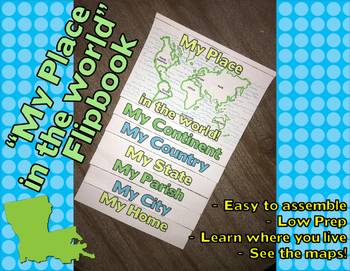
"My Place in the World" Flip-book - LOUISIANA specific
With this flip-book, students will learn about where in the world they live. It lets them explore thier continent, country and state, all the way down to their home town.
This booklet is specially made for Louisiana residents, so the only customizing you will need to do is identify your parish and city. The rest is done for you!
You could use this flip-book for display or even glue it into an interactive notebook. Either way it is the perfect size!
Check out my TPT store for more Louisiana spe
Subjects:
Grades:
K - 4th
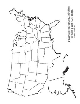
Map Tracing and Label USA - extra practice work sheet - For All Ages
This is a great printable for your child to learn how to draw the map of the USA. I have my kids trace and then try and redraw it or trace over another paper. Eventually, the goal is to have them draw a map by memory.
Great for practice with labeling! Or a great color sheet for the littles :)
Perfect for all ages!
This is a great addition for your Classical Conversations notebook!
Check out my other freebies and other CC notebooks!
Subjects:
Grades:
PreK - 6th
Also included in: CC Cycle 2 Full Notebook All Subjects Discounted Bundle
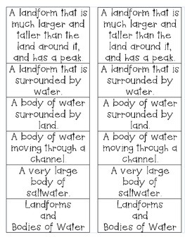
Geographical Features - Landforms and Bodies of Water
Geographical Features
Great for Interactive Science Notebook or Foldable
Definitions for:
Landforms - Mountain and Island
Bodies of Water - Rivers, Lakes, and Oceans
Subjects:
Grades:
K - 3rd
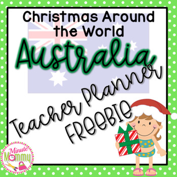
Christmas Around the World Unit | Australia Teacher Planner FREEBIE
Merry Christmas! Take your class on a journey Down Under for Christmas. This file gives you detailed lesson plans to complete during your Christmas in Australia unit. Having a substitute? It has everything they need to complete this without any prior knowledge or experience! Two options of teaching depending on the time you plan to spend on each country.Through this unit, your students will have a richer understanding of the world they do not know about yet. This pack covers the basic events
Grades:
K - 2nd
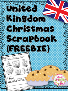
Christmas Around the World | UK Scrapbook FREEBIE
Merry Christmas! Take your class on a journey to the U.K. for Christmas. Through this pack, your students will have a richer understanding of the world they do not know about yet. This freebie will help students begin a scrapbook to help them better understand Christmas in a culture different from their own. Find the full product here:
U.K. Christmas Scrapbook
Included in this freebie:
~Scrapbook Cover
~Double bubble (compare/contrast)
~Writing activity page
Come to my store for more Chr
Grades:
K - 2nd
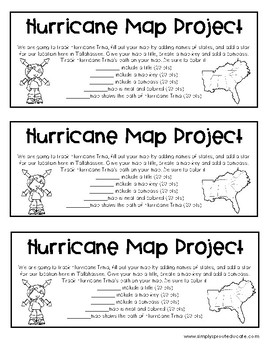
Hurricane Tracking Map Project from Simply sprout
Create a teachable moment from today's weather headlines. Have your students track Hurricane Irma with a fun map project that will help show the path a hurricane takes. Have students include important parts on their map, a title, a map key, compass etc.
Created by Marcy Grauer
simplysprout@gmail.com
www.simplysprouteducate.com
We work hard to share our creative passion for education. Please do not resell or redistribute any items purchased. All items purchased are for single classroom use on
Subjects:
Grades:
PreK - 12th, Staff
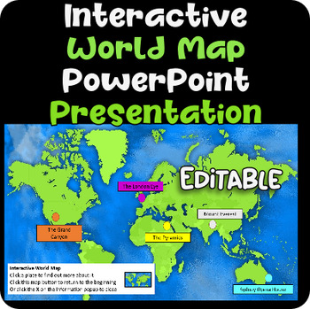
Interactive World Map - Microsoft PowerPoint presentation. Fun! EDITABLE!
This is a fabulous, interactive World Map PowerPoint presentation.Click the point on the map to find out more about each place.This is fully EDITABLE - you can change it and adapt it. Highlight different places in the world.What a great addition to your technology resource collection!Most importantly, if you want your students to LEARN HOW TO MAKE AN INTERACTIVE MAP using Microsoft PowerPoint - then please purchase this fun 90 min Interactive Map lesson/project.Your students can learn the skills
Grades:
K - 12th, Staff
Magic Tree house Geography and History Notebook (Elementary Lines)
Use these workbook pages with Magic Tree House Books to record geography and history. Includes a page for students to jot down notes like Jack and write a Diary Entry as Annie. This file has beginner writing lines for younger writers. This file is also available with regular lines on my home page. Use along with extra pages specific to each book posted on my home page. Check out My Blog for more ideas on this lesson.
Grades:
K - 3rd
Types:
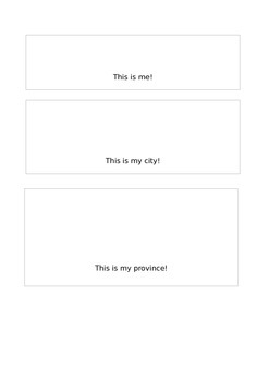
Me on the Map flipbook
This product is for the flipbook for the book Me on the Map by Joan Sweeney. I have now made this resource free because I want teachers to use this great resource to teach how we fit within the world. Great to use to teach geography to young ones.
IF YOU LIKE THE PRODUCT PLEASE LEAVE A REVIEW!
Subjects:
Grades:
K - 4th
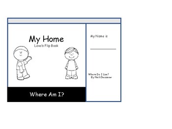
Sense of Place Recognition Flipbook
This flipbook provides an ever-widening sense of place for students, Kindergarten - First Grade, based on the book, Where Do I Live? by Neil Chesanow. The flipbook can also be used sans text with other resources the teacher has on hand. Six days of lesson ideas are included for homeschool families, but may also serve those in a classroom setting.
Subjects:
Grades:
PreK - 2nd
Types:
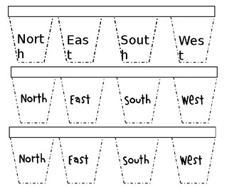
Cardinal Directions Interactive Notebook Flaps.
A great source for students to identify items in the classroom or outside that are N,E,S, or W. Students will describe with words or pictures 1-2 items each that are located north, east south or west. Please enjoy!
Grades:
K - 2nd
Showing 1-17 of 17 results


