54 results
Middle school geography handout images
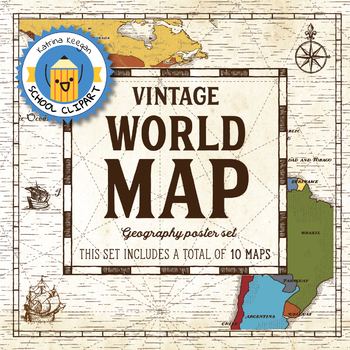
World map and continents: Vintage style geography poster set (10 maps)
World map and continents: vintage style geography poster setThis world and continents set includes a total of 10 maps:• World• Africa• South America• Central America• North America• Europe (2)• Middle East• Asia• OceaniaMaps capture current geographical and political boundaries (as of May 2019) with vintage-style graphics and script. The world map clearly labels continents and oceans. Continent maps label all countries, oceans and include a color-coded country key.These maps are a great addition
Subjects:
Grades:
PreK - 12th, Higher Education, Adult Education, Staff
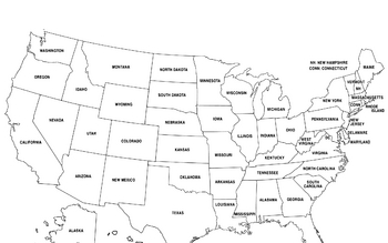
United States Map
United States Map.
FYI - For some reason the bottom is cut off a little.
Grades:
PreK - 12th, Higher Education, Adult Education
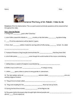
"America: The Story of US" Video Guide: Rebels and Revolution
History's "America: The Story of Us" is a great addition to any US History classroom. I show episodes for each unit we are studying in my 7th grade classroom. These video guides allow students to watch the video but also pay attention to details as they fill in the blank questions. These guides also serve well as a review for assessments at the end of the unit.This resource includes:Video Guide QuestionsAnswer Key
Grades:
6th - 9th
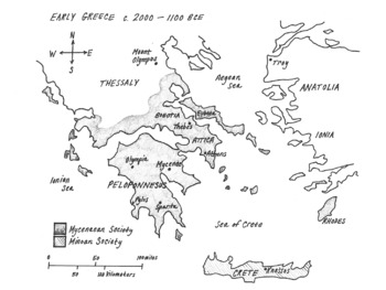
MAP of Ancient Greece (Hand-drawn with labels!)
This is a clear, hand-drawn map of ancient Greece made to fit perfectly on the page.Things created by hand are more interesting to learners!It includes labels for the following:Aegean Sea, Ionian Sea, Sea of CreteThessaly, Anatolia, , Boeotia, Peloponnesus, Crete, RhodesSparta, Athens, Knossos, Olympia, Pylos, Athens, Thebes, Troy, & Mt. Olympus*Mycenaean & Minoan Societies (*shaded regions)
Grades:
6th - 8th
Types:
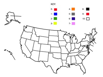
Blank United States Map and Number Color Key
The blank United States map with a number color key worksheet is an educational activity where students use a provided key to color the map. Each number from 0 to 9 in the key corresponds to a specific color, guiding students to fill in the map accurately according to the numbers they are given for each state. This activity combines geography with number recognition and color matching skills.
Subjects:
Grades:
1st - 12th
Types:
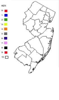
Blank NJ Counties Map
This is a blank map of the New Jersey counties. There is a key with the numbers 1-10 and colors next to each number.
Subjects:
Grades:
1st - 12th
Types:
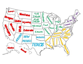
Regions of the United States Map/Poster
This map can be used for geography, regions of the United States, or as a poster.
If you print it in adobe reader, you can choose to print it as a poster, and print it over multiple pages, cut, and glue together to make a larger map!
Subjects:
Grades:
2nd - 6th
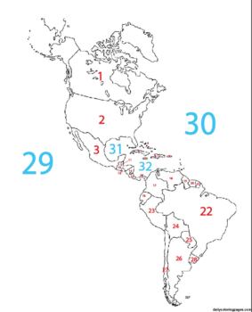
Blank Western Hemisphere Map with #'s for countries and major bodies of water
This map can be used as part of a digital assignment or can be used as an assessment where students have to identify the name of the place being identified by number.
Subjects:
Grades:
4th - 9th
Types:
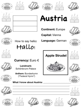
AUSTRIA, Travel the World Worksheet
Fun WORLD FACTS!! Save time - and have fun!Explore Austria!!! Color the flag, sample some local cuisine, and practice saying hello in the native language! Learn about the currency, famous landmarks and sing the national anthem! Now, let's talk about what we learned!If you found this sheet helpful, please subscribe and leave a review! :) Who had a 1,400lbs wheel of cheese in the White House? Who was the only unmarried US President? Who owned an actual TIGER???Find out the answers to all these que
Subjects:
Grades:
7th - 10th
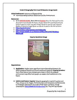
Global Settlement: Patterns and Sustainability
Application: Analyze some significant interrelationships between the Earth’s physical features and human settlement patterns. Inquiry Question: Your critical stance is to evaluate some ways in which the physical environment may affect how people can sustain their settlement in the future.Task: Students will access and select physical images of Ontario and Newfoundland via http://quest.eb.com/ and describe the physical features, shape and size of settlement and inquire and evaluate how the physic
Subjects:
Grades:
6th - 12th
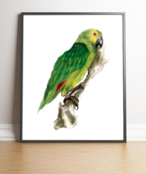
Yellow & Green Amazon Bird - Tropical Birds
This digital drawing of a green and yellow amazon bird can be used as a poster, printable, flash card, etc. This purchase comes with 3 different file sizes: 8x10, 11x14, and 14x17. If you have need for this drawing in a different format or file type for different uses in class, please let me know, and I can make alternative options. If you would like all birds available currently, you can access in a bundle at a discounted rate.
Subjects:
Grades:
PreK - 6th
Also included in: Bird Series Bundle - 6 Digital Bird Drawings - Owls and other birds
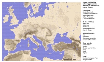
Europe Physical Map of Europe
A good introduction to the geography of Europe. Students use your class resources to find and label major landforms, rivers, seas, etc.
Grades:
4th - 12th
Types:

PARAGUAY, Travel the World Worksheet
Fun WORLD FACTS!! Save time - and have fun!Explore Paraguay!! Color the flag, sample some local cuisine, and practice saying hello in the native language! Learn about the population, land area, famous landmarks and sing the national anthem! Now, let's talk about what we learned!If you found this sheet helpful, please subscribe and leave a review! :) Who had a 1,400lbs wheel of cheese in the White House? Who was the only unmarried US President? Who owned an actual TIGER???Find out the answers to
Subjects:
Grades:
7th - 10th
Types:
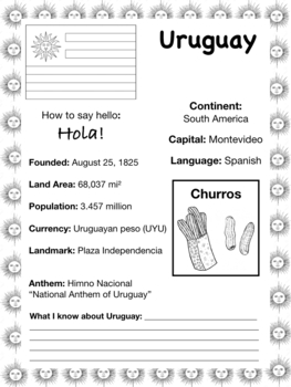
URUGUAY, Travel the World Worksheet
Fun WORLD FACTS!! Save time - and have fun!Explore Uruguay!! Color the flag, sample some local cuisine, and practice saying hello in the native language! Learn about the population, land area, famous landmarks and sing the national anthem! Now, let's talk about what we learned!If you found this sheet helpful, please subscribe and leave a review! :) Who had a 1,400lbs wheel of cheese in the White House? Who was the only unmarried US President? Who owned an actual TIGER???Find out the answers to a
Subjects:
Grades:
7th - 10th

History - Line of Demarcation
This is a blank map of the world. The object is to draw in the two positions of the line of demarcation and to color in the areas of Portuguese and Spanish control after 1492.
Grades:
4th - 8th
Types:
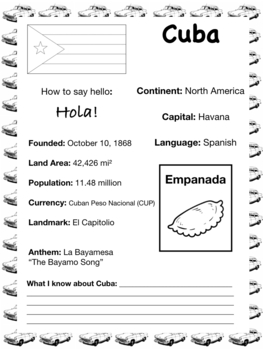
CUBA, Travel the World Worksheet
Fun WORLD FACTS!! Save time - and have fun!Explore Cuba!! Color the flag, sample some local cuisine, and practice saying hello in the native language! Learn about the population, land area, famous landmarks and sing the national anthem! Now, let's talk about what we learned!If you found this sheet helpful, please subscribe and leave a review! :) Who had a 1,400lbs wheel of cheese in the White House? Who was the only unmarried US President? Who owned an actual TIGER???Find out the answers to all
Grades:
7th - 10th
Types:
Exploring the Arctic- WebQuest
Students may use their resources textbook or online to complete the Arctic WebQuest. Great for last minute, sub days, snow days, AMI, themed activities, small groups, or supplemental activities
Subjects:
Grades:
5th - 8th
Types:
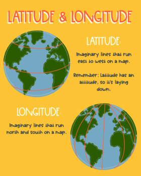
Latitude and Longitude Reference Poster
Use this poster as a vocabulary builder, anchor chart, or just a quick reminder for students! PNG File
Grades:
3rd - 12th, Higher Education
Types:
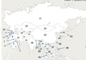
Asian countries by number
countries numbered to test geographical knowledge
Subjects:
Grades:
5th - 12th
Types:
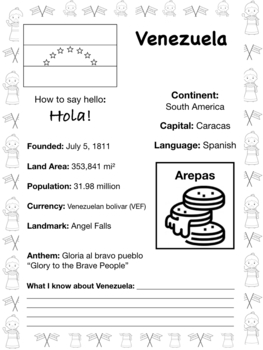
VENEZUELA, Travel the World Worksheet
Fun WORLD FACTS!! Save time - and have fun!Explore Venezuela!! Color the flag, sample some local cuisine, and practice saying hello in the native language! Learn about the population, land area, famous landmarks and sing the national anthem! Now, let's talk about what we learned!If you found this sheet helpful, please subscribe and leave a review! :) Who had a 1,400lbs wheel of cheese in the White House? Who was the only unmarried US President? Who owned an actual TIGER???Find out the answers to
Subjects:
Grades:
7th - 10th
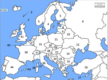
European countries by number
countries numbered to test geographical knowledge
Subjects:
Grades:
6th - 12th
Types:
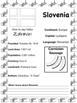
SLOVENIA, Travel the World Worksheet
Fun WORLD FACTS!! Save time - and have fun!Explore Slovenia!! Color the flag, sample some local cuisine, and practice saying hello in the native language! Learn about the population, land area, famous landmarks and sing the national anthem! Now, let's talk about what we learned!If you found this sheet helpful, please subscribe and leave a review! :) Who had a 1,400lbs wheel of cheese in the White House? Who was the only unmarried US President? Who owned an actual TIGER???Find out the answers to
Grades:
7th - 10th
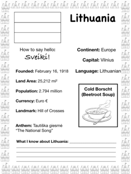
LITHUANIA, Travel the World Worksheet
Fun WORLD FACTS!! Save time - and have fun!Explore Lithuania!! Color the flag, sample some local cuisine, and practice saying hello in the native language! Learn about the population, land area, famous landmarks and sing the national anthem! Now, let's talk about what we learned!If you found this sheet helpful, please subscribe and leave a review! :) Who had a 1,400lbs wheel of cheese in the White House? Who was the only unmarried US President? Who owned an actual TIGER???Find out the answers to
Grades:
7th - 10th

BULGARIA, Travel the World Worksheet
Fun WORLD FACTS!! Save time - and have fun!Explore Bulgaria!! Color the flag, sample some local cuisine, and practice saying hello in the native language! Learn about the population, land area, famous landmarks and sing the national anthem! Now, let's talk about what we learned!If you found this sheet helpful, please subscribe and leave a review! :) Who had a 1,400lbs wheel of cheese in the White House? Who was the only unmarried US President? Who owned an actual TIGER???Find out the answers to
Grades:
7th - 10th
Showing 1-24 of 54 results


