1,355 results
Free 5th grade geography microsofts

States and Capitals Jeopardy
States and Capitals Jeopardy is an excellent tool for a review game for the 50 states and their capitals. Students can be broken into teams to compete against each other or they can keep track of their scored individually. The students love it and really get into it!
Powerpoint is able to be edited to allow for new review games with the Jeopardy template.
Subjects:
Grades:
4th - 8th
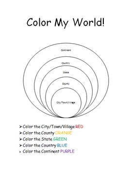
The World Where I Live...
This is a jam-packed, 40 page unit full of multi-sensory and multi-grade-level activities all centering on the relationships between the following concepts: city/town/village, county, state, country, continent, and community helpers. The following mathematical concepts are also explored: range, median, mode, and average (mathematical mean).
The following activities are included in this unit: Key vocabulary exercise, coloring Venn diagram activity, "Greater Than, Less Than" activity page, "My
Subjects:
Grades:
K - 8th
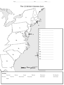
13 Colonies Map Quiz
This mapping activity which addresses the original 13 colonies can be used either an initial introduction worksheet/organizer or as a quiz.
Subjects:
Grades:
4th - 9th
Types:
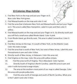
13 Colonies Map Activity
This is a simple mapping activity for Colonial America. I've included instructions for finding the different colonies and how they are to color them. The instructions include using directions like north, south, east, and west. All you need to provide is your favorite map of the 13 colonies to use.
Also included is mnemonic for remembering the 13 colonies and a bonus point for drawing a picture of this mnemonic.
I give each student their own map and instruction sheet. I then have students take
Subjects:
Grades:
4th - 5th
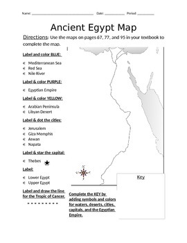
Blank Ancient Egypt Map
I have used this blank Ancient Egypt map as an introduction to my ancient Egypt unit with 6th grade regular and ELL students in social studies. Not only does this help with students' geography skills, but it helps practice following basic written directions.
Subjects:
Grades:
5th - 7th
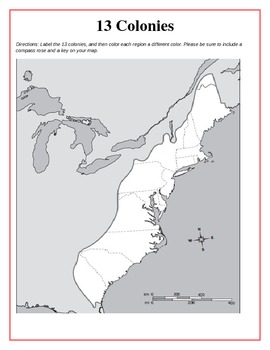
13 Original British Colonies Blank Map
This is a map of the original 13 British Colonies that is blank and able to be filled out by students. The directions also state that students are to color the three regions and include a key and compass rose on their maps. Great way for the students to learn about the 13 Original colonies.
If you like this printable, please visit my store and see what else I have!!! www.teacherspayteachers.com/store/Kathryn-B
Subjects:
Grades:
5th - 12th
Types:
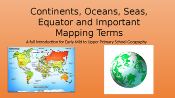
Continents, Oceans, Equator, Lines of Latitude and Longitude
A full introduction to the 7 continents with facts and pictures. Also facts and pictures for each of the 5 oceans. The conclusion is based on explaining the equator, lines of latitude and longitude as well as a brief description of the prime meridian. Enjoy.
Grades:
2nd - 9th
Types:
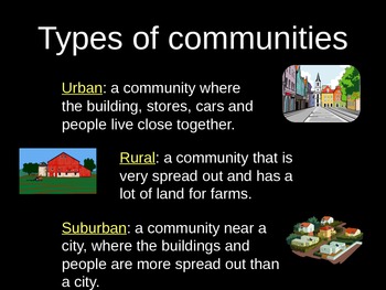
Urban, Suburban, and Rural PowerPoint Lesson with Graphic Organizer
Use this lesson to compare different types of communities.
Objective: The student understands how physical characteristics of places and regions affect people's activities and settlement patterns. The student is expected to: identify the characteristics of different communities, including urban, suburban, and rural, and how they affect activities and settlement patterns.
Subjects:
Grades:
K - 5th
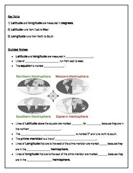
Teach Latitude and Longitude
This lesson helps students learn latitude and longitude with ample guided notes and independent practice. Print, distribute, and you're ready to teach!
Grades:
4th - 7th
Types:
Westward Expansion! A PowerPoint Presentation
This PowerPoint presentation includes information about westward expansion in the U.S. including maps, graphics, and information related to Manifest Destiny, travel methods, dangers and hardships of traveling west, life on the prairie, reasons for moving west, and links to interactive websites related to the topic. Great visuals and information!
Subjects:
Grades:
4th - 6th
Types:
Coco - Movie Guide: Day of the Dead
Examine the Mexican tradition of Dia de los Muertos (Day of the Dead) as represented in this amazing film. Perfect for 3rd graders studying cultures around the world as well as Halloween celebrations with some education mingled in. Students will look at the geography of the celebration, key literary traits, and write an opinion piece at the conclusion. Integrating media, ELA, SS, and student's interest in a meaningful way. It's not just putting on a movie... it's using a movie to teach.
Subjects:
Grades:
2nd - 5th
Types:
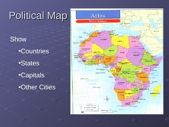
Powerpoint on Types of Maps and Their Uses
This is a 8 slide powerpoint. It introduces the different types of maps and their uses. This is a great resource for teachers that don't have Atlases for students or want to intoduce the maps in a simple way.
Grades:
4th - 7th
Types:
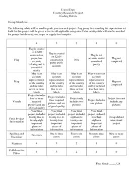
Country Research Project
** Uploaded Word document. Items will need to be copied/pasted into documents to fix some formatting issues.
This Country Research Project was designed as a group project for use with grades 5-8. It includes all of the introduction/explanation papers, worksheets for history, culture, travel, and geography as well as the presentation rubric and worksheet to go along with the Travel Expo (if you so choose to have one). There is a timeline included that covers roughly 8 days and includes time in t
Subjects:
Grades:
5th - 8th
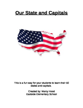
Learn the 50 States and Capitals!!
This is a great resource to help your students learn the 50 United States and Capitals!
It includes 19 pages for this State and Capital Unit. There are 17 pages to use to break down the states into weeks. There is a page for them to label the state abbreviations on . Finally, there is a page for them to take the weekly quizzes or worksheets on.
I used it as a weekly quiz, but you could use however. Kids loved learning them and loved the bonus option I included!
Subjects:
Grades:
3rd - 6th
Types:
Intro to the 13 Colonies
Students will learn some basic facts about our Original 13 Colonies through this PowerPoint Presentation.
Also included is a "Reader's Theater" and an outline map that were free resources on the web. (My price is for my PowerPoint).
Grades:
3rd - 5th
The 5 Regions of the United States Google Slides
Use this Google Slides Presentation to help teach students the different regions of the United States. Have students follow along with a worksheet, notebook, or just a class discussion.
Grades:
3rd - 8th
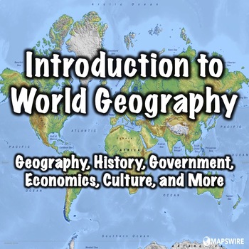
Introduction to World Geography
This presentation can be used to introduce students to world geography. Both a PowerPoint and a link to download a version formatted for Google Slides are included. It was designed to used with the other world geography presentations in my store. The presentation can also be used with a free worksheet that can be found here: World Geography Worksheet.This presentation includes:Introduction - 2 slidesLocation - 2 slidesPeople - 3 slidesFlags - 1 slideGeography - 7 slidesHistory - 2 slidesGovernme
Grades:
5th - 8th
Types:
CCSS:
Also included in: Geography Introduction Bundle
US States and Capitals Study Resources for Quizlet and Kahoot
This Google Doc contains Kahoot and Quizlet review games for the 50 States, Capitals, and their abbreviations. There are 4 different Kahoots the states by region:NortheasternSoutheasternMidwestWest and SouthwestAdditionally, there is a comprehensive Quizlet that goes over all matching all 50 states.With the links, you can duplicate the study set to individualize the set for your needs. Perfect for independent work time in your classroom or to share with families for your students to share at hom
Grades:
3rd - 11th
Types:
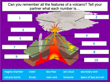
Investigating the structure of a volcano
This lesson is designed for children in 2nd to 5th grade. It can be taught as a standalone lesson but is also available as part of two exciting units on TpT:- Volcanoes- Volcanoes & EarthquakesFirst the presentation introduces the features of a volcano, looks at how volcanoes are formed and the causes of volcanic eruptions. In the activity, which is differentiated three ways, students identify ten features of a volcano.Easier:Children identify ten features of a volcano (with prompt boxes and
Subjects:
Grades:
2nd - 5th
Also included in: Volcanoes

Immigration in America Unit
This is an interdisciplinary unit on immigration in America that spans the course of two weeks. Students begin looking at the past and later, do a culminating project on their own family's immigrant past. Below are more details:
Unit Rationale
Besides Native Americans, everyone here in the United States has an ancestor to thank for the reason they are here. This unit gives students an understanding of our immigrant past, and helps bring awareness of the multiple backgrounds and immigrants in o
Grades:
4th - 6th
Types:
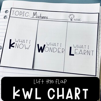
KWL Chart Graphic Organizer Template
KWL (know, wonder, learnt) charts are a great way of activating students' prior knowledge before conducting or completing research tasks as well as organizing and tracking information. They play a significant role in promoting metacognitive thinking as well, as students must continually reflect on and evaluate what they already know, that they want to know, and what they have learnt at the end of their project. This resource includes 2 KWL graphic organizer designs in both A4 and A5 versions (2
Subjects:
Grades:
3rd - 5th
Geography Terms Vocabulary Matching Game Power Point (PPT)
This is an EXTREMELY visual activity for teaching basic geography terms (see below). You may consider purchasing the assessment that goes along with this activity.
The power point contains 36 slides and 16 vocabulary terms, including: Canyon, Bay, Isthmus, Cataract, Delta, Island, Pangaea, Butte, Mesa, Plateau, Plains, Volcano, Mountain, Glacier, Strait, and Peninsula.
Each vocabulary word is preceded by a photograph representing that term. This makes teaching the terms EXTREMELY visual. Show
Grades:
2nd - 7th
Italy PowerPoint - Geography, History, Government, Economy, Culture and More
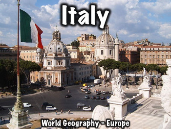
This 36 slide Italy PowerPoint presentation provides an overview of its history, geography, government, economy, and culture. A free worksheet that can be used with this presentation can be found here: Italy Worksheet.Both a PowerPoint and a link to download a version formatted for Google Slides are included.Includes:Geography/overview - 8 slidesFlag - 1 slideHistory/notable people - 10 slidesGovernment - 4 slidesEconomy - 2 slidesCulture - 4 slidesMiscellaneous - 6 slidesThis presentation can a
Grades:
5th - 8th
CCSS:
Also included in: Europe Bundle Two
Label the Continents and Oceans Map Activity
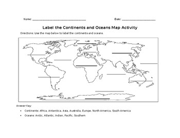
This map skills activity is designed to help students develop their ability to read and interpret maps. By labeling the continents and oceans, students will become more familiar with the geographic features of the world and the different regions.This activity can be used as an introductory lesson to a larger unit on geography or as a quick warm-up activity to start a class period. It can also be used as a formative assessment tool to check students' understanding of basic geography concepts.This
Subjects:
Grades:
1st - 5th
Types:
Showing 1-24 of 1,355 results


