17 results
Geography Common Core MP5 resources
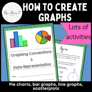
Guide to graphs: Pie charts, bar graphs, line graphs, scatterplots + activities
This is a fantastic resource for introducing students to graphing and data representation. This booklet will take students through the uses for particular graphs and how to construct them. At the end of each module, there are activities for students to complete, to practice their graphing skills. Answer key is included, making this a no-prep activity. This booklet covers: - why we visually represent data- pie charts and how to create them - bar graphs and how to create them - line graphs and how
Subjects:
Grades:
6th - 12th, Higher Education, Adult Education
Types:
CCSS:
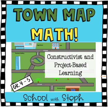
Town Map Math!
Take a constructivist, project-based learning approach to your teaching of parallel, perpendicular, and intersecting lines! This 4th-5th grade mini project explores this math standard in a fun, real-world approach that is perfect for distance learning or in-person learning. Critical thinking and multi-step problems will help students prepare for math performance tasks on state testing. Students will enjoy getting creative with making their own town map at the end. Would work beautifully in a cro
Subjects:
Grades:
4th - 5th
Types:
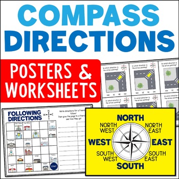
Directional Terms Compass Posters & Ordinal & Cardinal Directions Worksheets
Do your students need help with learning directional terms and following directions? These compass rose posters and ordinal and cardinal directions worksheets included can help! The range of compass direction activities include cut and paste compass roses, task cards, and town map activities. This is a great resource for Grades 2 and 3.Learning about the compass rose and ordinal and cardinal directions is an important skill for students. It opens up the chance for lots of fun and engaging mappin
Subjects:
Grades:
2nd - 4th
CCSS:
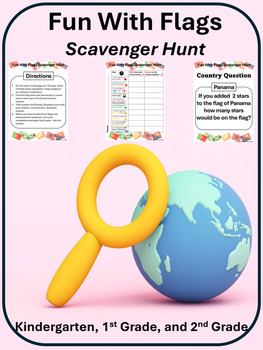
Fun With Flags A Scavenger Hunt for Kindergarten, 1st, and 2nd Graders
The Fun with Flags Scavenger Hunt for use with students in Kindergarten, First and or Second Grade is an awesome way to integrate Social Studies, Geography, Math, and English Language Arts in a highly engaging activity that will have your students collaborating and make connections to the world beyond the walls of your school and or classroom. It is ready to print and go!This scavenger comes with 40 flags, 40 country labels, a scavenger hunt with 10 questions preset, and an answer key, plus a b
Subjects:
Grades:
K - 2nd
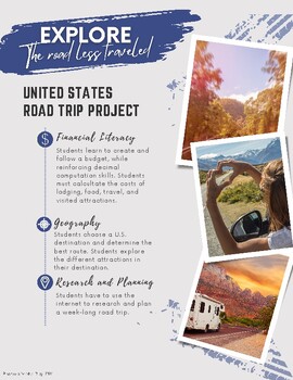
Explore the road less traveled: United States Road Trip Project
Printable Project Based Learning. Students will use cross-curricular skills while they plan a United States Road Trip: financial literacy, computation, geography, research, and planning. Students choose from a variety of cards to plan a road trip.Organizational resources include: -60 United States Tourist Destinations-Place value cards to create a budget-Number of People Cards-Months of the Year-Additional IncidentalsStudent resources include:-Planning document-Note-catcher-Journal Prompts-Packi
Subjects:
Grades:
4th - 7th
Types:
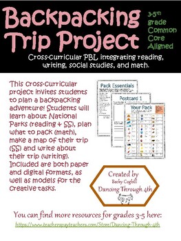
Backpacking Project SS, Math, Reading, Writing PBL/ Distance Learning
This cross-curricular project invites students to plan a backpacking adventure! Explore National Parks (reading & SS), plan what to pack (math), make a map of the trip (SS), and write home about the adventure (writing)! Included are as models for each of the creative tasks. It is engaging and easily adaptable to your students, as well as low-prep for the teacher! This product also includes suggestions for extension activities across content areas.This product includes 3 versions of the docu
Subjects:
Grades:
3rd - 5th
NGSS:
4-ESS2-2
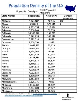
Calculating the Population Density of the United States Chart
This lesson will focuses on learning about how to calculate the Population Density of a specific area of land.Population density is a measure of population in relation to land area. The population density of a country or city or other place is a number showing how crowded that place is. It refers to the number of people living in an area per square mile, or other unit of land area, such as kilometer. There is a specific formula that is used to calculate the population density of an area. Popula
Subjects:
Grades:
5th - 8th
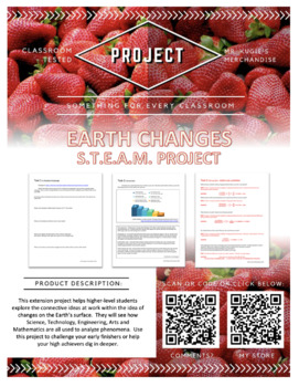
Earth Changes | S.T.E.A.M. Project
Earth Changes S.T.E.A.M. ProjectAppropriate for grades 5-7 & Homeschool**Also found in THIS bundle**PURPOSE:This extension project helps higher-level students explore the connective ideas at work within the idea of changes on the Earth’s surface. They will see how Science, Technology, Engineering, Arts and Mathematics are all used to analyze phenomena. Use this project to challenge your early finishers or help your high achievers dig in deeper.WHAT’S INCLUDED:This product contains:☆6 specifi
Subjects:
Grades:
5th - 7th
Types:
Also included in: 3 S.T.E.A.M. Projects | Bundle
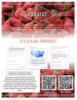
Human Movement | S.T.E.A.M. Project
Human Movement S.T.E.A.M. ProjectAppropriate for grades 3-6 & Homeschool**Also found in THIS bundle**PURPOSE:This extension project helps higher-level students explore the connective ideas at work within the movement of groups across the earth. They will see how Science, Technology, Engineering, Arts and Mathematics are all a big part of understanding why and how humans migrate. Use this project to challenge your early finishers or help your high achievers dig in deeper.WHAT’S INCLUDED:This
Subjects:
Grades:
3rd - 6th
Types:
Also included in: 3 S.T.E.A.M. Projects | Bundle
Integrated Social Studies Review Bundle - Back to School
I used this review with 5th graders during back to school week. It was a refresher for academic areas while I was teaching procedures. This bundle has the basics of maps and globes, interwoven with Primary and Secondary sources in social studies, Properties of matter in science, Sequencing and Vocabulary in ELA, Math skills and More! Can be a series of mini-lessons or explorations on a theme that will take all day!
Subjects:
Grades:
2nd - 6th
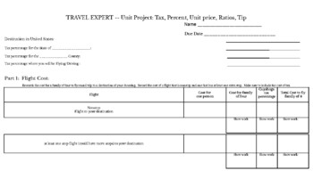
TRAVEL EXPERT -- Unit Project: Tax, Percent, Unit price, Ratios, Tip
Students take a trip. This includes:city/state tax researchflight cost researchtax calculationcar rental costgas costcurrency exchange ratedining and tip calculation
Subjects:
Grades:
6th - 9th
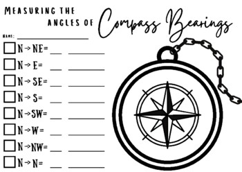
Compass Bearings and Angles
This activity is great when learning about angles and compass bearings. First, students will label the compass with the 8 bearings. Have students color each box a different color which will coordinate with the colors of the middle circle on the compass. We did rainbow colors to make it easier. Then they need to measure from North to whichever bearing they are trying to find. They will then write the measurement in degrees on the small line and the type of angle on the bigger line. After this is
Subjects:
Grades:
5th - 9th
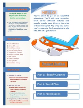
World Travel Presentation: Geography, Economics, ELA Distance Learning Project
***PLEASE REVIEW THIS PRODUCT*** Are you ready for your biggest adventure yet?This product includes:Instructor and student guided lesson planTravel project outlineSpecific resourcesWebsite directional instructions Custom graphic organizer printable templatesPrezi account instructionsIntegrated subject learning: Geography, Economics, Mathematics, English, History, Technology, HealthDeep learning, real world considerationsBudgeting practice Creative writing story promptUse this product again and a
Subjects:
Grades:
4th - 12th
Types:
France Math Tour in Boom Cards!
Students can not only practice their math skills but learn about iconic places and landmarks in France!
Subjects:
Grades:
4th - 7th
Types:
CCSS:
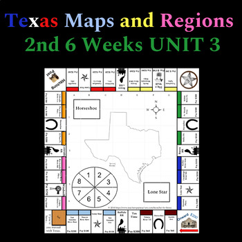
Texas Maps and Regions Board Game
Allow your students to have fun playing while reviewing what they know about maps and Texas regions. Texas Rivers and original railroads are included. Money management and teamwork skills are required. Students will need a few extra supplies that can be found around the classroom. My students have really enjoyed playing in class. When they do not know an answer, the kids have been very excited to look up the information needed to continue with the game. Printable Board GameTexas Map SkillsS
Grades:
3rd - 5th
Types:
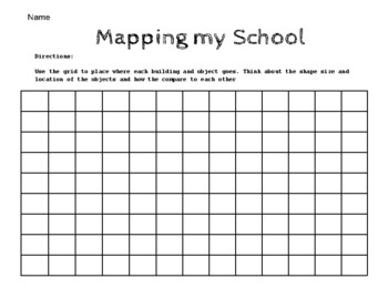
Mapping My School
Planning page for school mapping activity. Help students use shapes, size and position to plan and draw the details of their school environment. Can be used as part of a math or social studies lesson.
Subjects:
Grades:
PreK - 1st
Types:
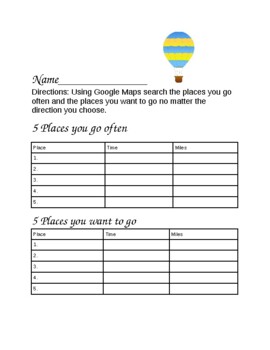
Oh the Places You'll Go
This is a great activity for students to practice their addition with time and mileage.
Subjects:
Grades:
2nd - 6th
Types:
Showing 1-17 of 17 results


