390 results
8th grade geography outlines for GATE
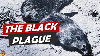
Bubonic Plague The Black Death PowerPoint Slides Outline Notes & YouTube Videos
This was recently re-mastered to be AWESOME! This PowerPoint has some fantastic visuals of the black death/bubonic plague. It also shows the spread of the disease throughout Medieval/Feudal Europe with a great map. There are several key questions that encourage discussion. This PowerPoint is sure to grab your student's attention!The last slide has 2 YouTube links from the History Channel, including a fun song that my class thought was hilarious.We also have an Oh Rats! Black Death storyboard pos
Grades:
5th - 9th
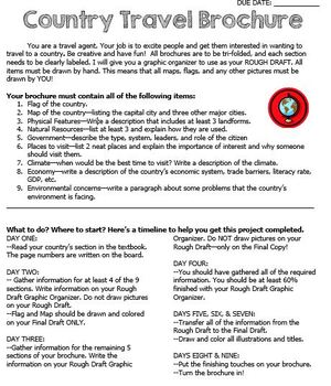
Country Travel Brochure Project
This is a fun project activity where students create a travel brochure for a chosen (or teacher-assigned) country. This project works well because the students know exactly what information that they need and where to put it on the brochure. It makes researching so much easier for everyone! There are directions, a brainstorm sheet, and a rough draft graphic organizer. I like the students to complete the final draft on large white construction paper, but the rough draft graphic organizer could be
Grades:
4th - 12th
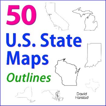
GEOGRAPHY | 50 U.S. State Maps Outlines (K-12)
GEOGRAPHY | 50 U.S. State Maps Outlines (K-12). Map outlines for all American occasions: history, physical, political, or specialty. Ideal for reports, labeling, or patriotic projects. Unfortunately, maps will not create a scaled puzzle. Preview same as Download.About the collection:Files are 8.5" x 11" in PDF & PNG. Product purchase is for organizational services. Maps are compiled from various free online sources and clarity is not always consistent. Please view Preview to see if maps mee
Grades:
K - 12th
Types:
Also included in: Top 20 Best Sellers
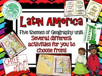
Latin America (Mexico, Central/South America) Geography Research Unit
This Latin America unit includes:
Several different activities/project layouts for you to chose from or use all! :)
As you teach about the geography of Latin America and all the countries in it, use these in their interactive notebooks!
Perfect for students to research and discover information about all of Latin America or just a country there on their own!
GREAT mini research project for GT students or early finishers to work on!
Grades:
2nd - 8th
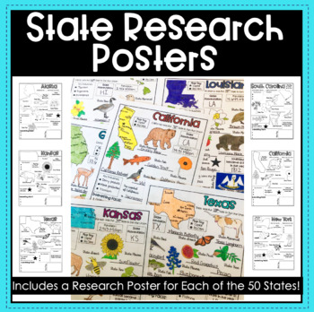
State Research Report Posters - A Template for ALL 50 States!
Get your students excited about learning the 50 states with these amazing report posters! These state research report posters provide your students with an easy to use graphic organizer while they conduct their state research! They can stand alone, be used in conjunction with a larger scale report or project, or used as a decorative display around the classroom! The options are endless!Materials Included:Blank State Research Posters for ALL 50 states
Subjects:
Grades:
4th - 8th
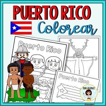
Puerto Rico
This is a .pdf file with 12 coloring pages. It include all pages shown on the preview. The images are:1. Puerto Rico cover coloring page2. Flag - La bandera3. Map - el mapa de Puerto Rico4. Flag in map form - bandera con la forma del mapa5. Race - nuestra raza6. Old San Juan "La garita"7. National flower "La maga" - Flor "La maga"8. Music instruments - instrumentos musicales9. National dance "La plena" dancers10. National dance " La bomba" dancers11. "Vejigante"12. "Vejigante" mask - máscara ve
Subjects:
Grades:
PreK - 12th
Also included in: Puerto Rico Coloring Bundle
Dinosaurs Clip Art Commercial use
Cute Dinosaur Clip Art Commercial use/ Dino Clipart includes: fern * dino egg* volcano* Bones with skull Dinosaur* bone *dinosaur skeleton* ankylosaurus* apatosaurus* ichthyosaurus* pterodactyl* stegosaurus* triceratops* tyrannosaur* tyrannosaurus rex *tyrannosaurus rex.Download preview with free clipart inside license included!All18 png files transparent background+jpgand 17 png black-white coloring outlines files+jpgFor personal and small commercial use!!!! See more animals clipartDinosaurs of
Grades:
PreK - 12th, Higher Education, Adult Education, Staff
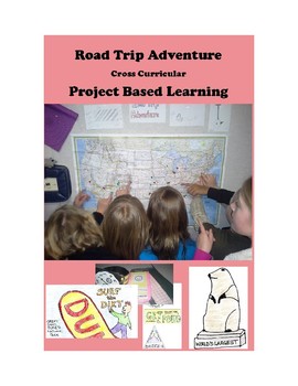
Road Trip Adventure PROJECT BASED LEARNING for GATE and 3rd - 8th Grades
Come along on a fun project-based adventure as students practice different forms of writing, geography skills, computer and internet technology skills, engineering and design skills, math skills, public speaking, creativity, and art.
Here is your Gold Medal Standard project based learning unit ready to go. Because this project-based unit relies heavily on student creativity and invention, the key knowledge, understanding, and success skills can be scaffolded across many grade levels. This un
Grades:
3rd - 8th
Types:
Also included in: SIMULATIONS Real-World Projects GATE Bundle Gifted
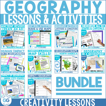
Geography Lessons and Activities | Critical and Creative Thinking BUNDLE
If you're looking for fabulous lesson plans about many aspects of geography, this bundle is for you! They're the perfect way to build geography skills, critical thinking skills, and creativity skills, all at once! You'll love the super high quality graphics, original articles, and the super clear teacher instructions for every single lesson.Ten different lessons/activities are included, and all of them align with National Geography Standards. Every resource has more than one activity, so this is
Subjects:
Grades:
2nd - 9th
Travel Agent Project- A Geography PBL
Incorporate authentic learning into your classroom by having your students complete this PBL as you teach geography content for your state or country. The project is organized around the central question: How can you as a travel agent plan a trip to a state or country for a family?
Students will plan a trip with stops in different regions or cities, mark their trip on a map, keep within a budget, and create a persuasive presentation to share their plan. They will not only practice geography con
Subjects:
Grades:
3rd - 8th
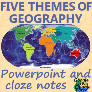
Five Themes of Geography
5 themes of Geography 24 slide powerpoint and one page cloze notes sheet(all items are editable)This product includes:- A PowerPoint Presentation to use in class or use for distance learning- Cloze notes in a printable and editable word document- Fillable PDF of the close notes- Links to google slides and a google doc students are able to fillThis product is also available bundled at a discount:WORLD HISTORY POWERPOINT BUNDLEAlong with:BYZANTINE EMPIRE: powerpoint, cloze notes sheet, chart, &
Subjects:
Grades:
6th - 9th
Also included in: WORLD HISTORY POWERPOINT BUNDLE
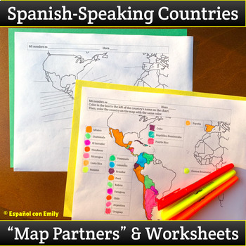
Spanish Speaking Countries Map Partner Back to School Activity and Worksheets
This Spanish-Speaking Countries Map Partner Activity is a perfect classroom management tool that can be used all semester!Perfect as an ice breaker activity for the first week of back to school, you’ll be getting students out of their seats and getting to know each other’s names while also learning geography and nationalities in Spanish! Use this resource to set up class partners, so students aren't always working with the same friend, or by themselves, AND they'll simultaneously be reviewing Ge
Subjects:
Grades:
7th - 10th
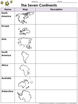
Continents Graphic Organizer: The Seven Continents - King Virtue's Classroom
Continents Graphic Organizer: The Seven Continents - North America, South America, Europe, Asia, Africa, Australia, and Antarctica - King Virtue's Classroom
Starting your Map Skills unit? Help your students get off to a great start with this simple The Seven Continents (North America, South America, Europe, Asia, Africa, Australia, and Antarctica) graphic organizer.
Looking to engage your students? Start off with a research project on the continents. Allow students to use various reference re
Subjects:
Grades:
2nd - 8th
Also included in: Social Studies MegaBundle - King Virtue's Classroom
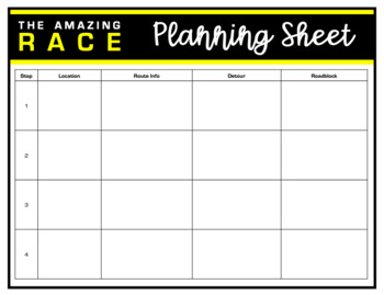
Amazing Race Printable Templates
This file is a PowerPoint file with Amazing Race templates to create challenges, detours and roadblocks in any content area. These templates can be used digitally or as printables. Just click inside the editable text boxes to add your content.Template includes: planning pageschallenge folderroute information carddetour cardroadblock cardplayer name tagsPowerPoint slides template
Subjects:
Grades:
K - 12th, Staff
Costa Rica - history, culture, ecotourism, health, peace and democracy
PURA VIDA!!! Fourty- eight teachers have bought this product which I updated May 2020. In comparison to many of my other 75 products (ISIS, Nuclear Proliferation, Syria, etc.), this power point will bring you lots of smiles. Costa Rica is truly a unique country, and one which has a lot to teach us. This is a country which has literacy rates and life expectancy equal to Europe. It is a country which, aside from gasoline, is almost completely powered by renewable energy. It has no army, and
Subjects:
Grades:
7th - 12th, Adult Education
Geography | 110 Maps | USA & World Outlines (K-12)
Geography | 110 Maps | USA & World Outlines (K-12).Travel the world from the luxury of a school desk and be the envy of Columbus himself. Maps for all social studies occasions: USA, world, ancient cultures, history, physical, political, and specialty.• Maps 8.5x11" in PDF & PNG. (Resize PNG images or outline in Sharpie for any blur issues.) Maps sold "as is".• Career-long maps travel nicely bewteen grade levels.• Outline format allows for teaching geography your way.This listing is part
Grades:
K - 12th
Types:
Also included in: ELA Bundle (4-6th)
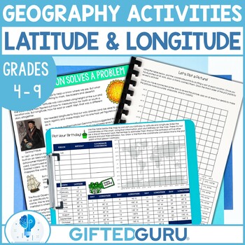
Geography Latitude and Discovery of Longitude Activities Plotting Coordinates
The discovery of longitude is so fascinating! Your students will love reading or listening to the story of how the mystery was solved and engaging in super fun activities to practice their coordinate grid latitude and longitude plotting. There's an original article about the discovery of longitude written especially to keep the attention of students. Do you love making geography come alive? I made this especially because my own students got so easily bored with latitude and longitude. I knew the
Subjects:
Grades:
4th - 9th
Types:
Also included in: Geography Lessons and Activities | Critical and Creative Thinking BUNDLE
Topographical Salt Dough Map of the United States
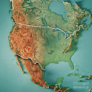
It's ready for Distance Learning! This is a turn-key project. Assign it to your students and let the parents work with them. They can present it with pictures or video. The format is Google Slides, so you can alter it any way you see fit. There is a list of features that students must label. From mountains to bodies of water, basins to rivers, the goal is to get them familiar with the landscape of the United States. I am using this as a GATE enrichment project. But, it can be used with a
Grades:
4th - 12th
Types:
Mapping Skills Lesson Plan Guide for World Geography, Back To School
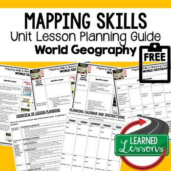
Mapping Skills Unit Lesson Planning, Mapping Skills Lesson Plan Guide, World Geography Lesson Planning Guide, Mapping Skills Pacing GuideThese lesson plan guides provide links to activities that support each component of the lesson cycle. The is also a pacing guide for the unit and course. There is an overview breakdown of how to plan a lesson and a lesson plan template to help get you organized. Also part of in WORLD GEOGRAPHY MEGA BUNDLE & MAPPING SKILLS BUNDLE. World Geography Lesson Pl
Subjects:
Grades:
6th - 12th
Types:
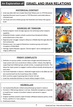
Four Handouts on Hamas in the Gaza Strip, Iran and Hezbollah
11-page Middle East Geopolitics Bundle. Looking for a wealth of information related to the 2023-24 Israel Hamas War in Palestine's Gaza Strip? Check out these 3 handouts plus an additional free one.Handout 1: Understanding Hamas: History, Actions, and ImpactAfter Hamas's attack on Israel in October 2023, it's essential for students to understand who Hamas is and its implications for the Middle East. This handout offers a thorough exploration of Hamas, from its founding during the First Intifada
Grades:
6th - 12th
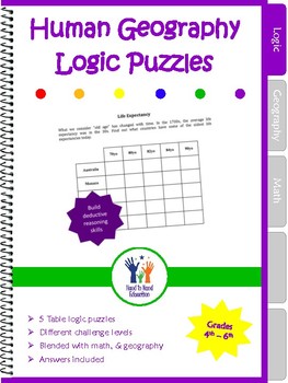
Logic Puzzles Human Geography
Extend your geography lesson plans with these 5 table logic puzzles geared for 5th to 7th grade students. Use these deductive reasoning logic puzzles as a jumping off point for extension ideas that explore:Factory Wage EarningsLiteracy RatesLife Expectancy and Population Densities. We've taken critical thinking activities to a whole new level by integrating content-area facts with fun brain teasers. Whether you need a time filler, a homework assignment, an activity for an early finisher, or an e
Grades:
3rd - 8th
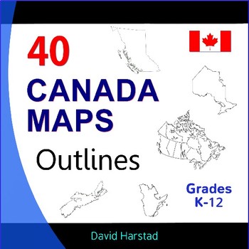
Canada Geography, History, Projects - 40 Canada Map Outlines (K-12)
Canada Geography, History, Projects | 40 Canada Map Outlines (K-12). More exciting than Tim Hortons' soup of the day. Map outlines for all Canadian occasions: statistics, physical, political, and provinces. Ideal for reports, labeling, or patriotic projects. Teach geography your way! About the collection: Maps 8.5" x 11" in pdf & png. Resize png images or outline in Sharpie for any blur issues. Maps sold "as is". Product purchase is for organizational services and maps are compiled in go
Grades:
K - 12th
Types:
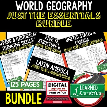
World Geography Outline Notes, Geography Bullet Notes BUNDLE
World Geography Outline Notes JUST THE ESSENTIALS Unit Review BUNDLE and Test Prep, GOOGLE LINK for Digital Distance LearningWorld Geography Outline Notes, World Geography Test Prep, World Geography Test Review, World Geography Study Guide, World Geography Summer School Outline, World Geography Unit Reviews, World Geography Interactive Notebook Inserts This JUST THE ESSENTIALS packet is a new and engaging way to create a quick reference study guide, conduct test prep, or just give students an op
Grades:
6th - 12th
Types:
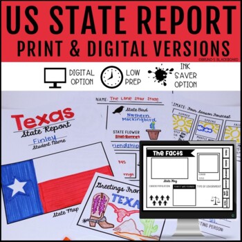
State Research Report Digital Google Slide & Print
Are you looking for a quick state research report for students to display for Open House or want students to learn more about their own state history?This research report will work great. It's easy to use, engaging, and looks great. Make sure to click the video preview for an in-depth preview of what is included.This product includes:A digital Google Slide Version and a print versionPrint Version Includes:-1 Page Quick Option-4 Page Option more in-depth (can also be used with a file folder to ma
Subjects:
Grades:
3rd - 8th
Also included in: State Report & Country Report Bundle
Showing 1-24 of 390 results


