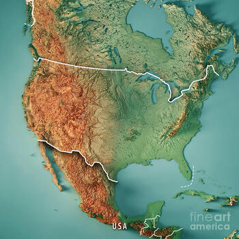
Topographical Salt Dough Map of the United States
Travelisfun
7 Followers

Made for Google Drive™
This resource can be used by students on Google Drive or Google Classroom. To access this resource, you’ll need to allow TPT to add it to your Google Drive. See our FAQ and Privacy Policy for more information.
Description
It's ready for Distance Learning! This is a turn-key project. Assign it to your students and let the parents work with them. They can present it with pictures or video. The format is Google Slides, so you can alter it any way you see fit.
There is a list of features that students must label. From mountains to bodies of water, basins to rivers, the goal is to get them familiar with the landscape of the United States. I am using this as a GATE enrichment project. But, it can be used with any group.
This slide presentation includes a map template and examples of topographical maps of the United States.
Total Pages
Answer Key
N/A
Teaching Duration
1 Week
Report this resource to TPT
Reported resources will be reviewed by our team. Report this resource to let us know if this resource violates TPT’s content guidelines.


