87 results
Preschool geography printable microsofts
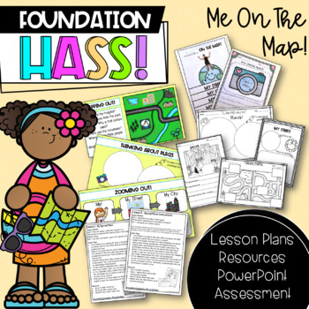
Foundation HASS 'Me on the Map' | Australian Curriculum | Geography
This unit includes everything you need to teach a 'Me on the Map' unit for Foundation & Pre-Primary HASS for the entire term! Paired with my 'Places We Belong' unit, all of your Geography content is covered. This particular unit revisits special places, through exploring local places and places around Australia, before investigating maps and where students are located in terms of street, city, state/territory and country. Important: As this is an Australian resource, the majority of lessons
Subjects:
Grades:
PreK - 1st
Also included in: Foundation HASS Bundle | Australian Curriculum | Geography & History

Foundation HASS 'Places We Belong' | Australian Curriculum | Geography
This unit includes everything you need to teach a 'Places We Belong' unit for Foundation & Pre-Primary HASS for the entire term! Paired with my "Me on the Map" Geography unit, all of your content is covered. This particular unit focuses on familiar and special places, such as homes and schools, before moving on to exploring communities. Students investigate what makes these places special, how we can care for them and are introduced to the features of places. Places We Belong Places We Belo
Subjects:
Grades:
PreK - 1st
Also included in: Foundation HASS Bundle | Australian Curriculum | Geography & History
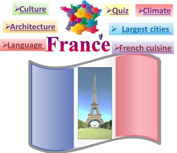
France PowerPoint presentation Quiz distance learning
This is a beautiful and informative 42 slide PowerPoint presentation.This is a super fun slide show. I've given you 4 slides to look at in the Download Preview.Includes:* Geography * Quiz* Flag* Climate* Language * Economy* Architecture Louvre Eiffel Tower Arc de Triomphe Palace of Versailles Disneyland Paris* Largest cities Paris Marseille Lyon Toulouse Nice French Riviera Grenoble* Culture* French cuisine***********************************************************Check out some of
Grades:
PreK - 10th
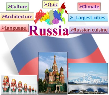
Russia PowerPoint presentation PDF Quiz distance learning
Russia: Quiz - Climate - Culture - Language - Architecture - Largest cities - Russian cuisine - interactive slide showPowerpoint to introduce geographical / cultural / government information of Russia. Awesome as a visual to students.This download now comes with the slideshow in BOTH a PowerPoint and PDF version. This is a beautiful and informative 57 slide PowerPoint presentation.This is a super fun slide show. I've given you 5 slides to look at in the Download Preview.Includes:*Geography *Quiz
Grades:
PreK - 10th
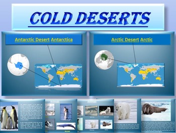
Arctic and Antarctic - Animals - Plants - Interactive PowerPoint presentation
Arctic and Antarctic - Cold Desert - Animals - Plants - Interactive PowerPoint presentationCOLD DESERTS- 26 pages* Antarctic Desert* Arctic Desert- Plants- Animals penguins orcas Blue whale Arctic hare Arctic fox Arctic wolf Polar bear WalrusThis is a beautiful and informative 26 slide PowerPoint presentation.This is a interactive slide show.For personal and commercial use.********************************************************- COLD DESERTS- FREE **************************************
Subjects:
Grades:
PreK - 9th, Higher Education
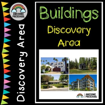
Buildings Study - Editable Supplemental Materials - Discovery Area
Make learning about BUILDINGS and physics engaging and hands-on in your class! This product goes well with any BUILDINGS study and includes ideas and printables using real pictures to easily set up a discovery or science area in your class. Fully editable so you can change the language or add your own words. Time saver because everything is done for you! PLEASE WATCH THE PREVIEW VIDEO FOR DETAILSHow to use:set up a small table or shelving unituse the labels included to label everything to make
Subjects:
Grades:
PreK - 1st
Also included in: Creative Curriculum-Buildings Study Bundle
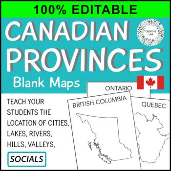
Canadian Province Maps & Canada Map - 100% Editable
This resource is 100% EDITABLE using Microsoft PowerPoint. You can add, subtract, or modify any of the content to suit the needs of your students. Great for differentiation!Make mapping engaging and memorable with these Canadian Provincial Maps.Provincial and Country maps can help students visualize the location of cities, lakes, rivers, hills, and valleys. Students also learn about the correct shape, size and location of the provinces. This resource packages includes all Canadian provinces and
Subjects:
Grades:
PreK - 7th
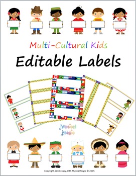
World-wide Kids - Editable Labels - Multi-cultural Theme
These labels will help you create a cheerful and organized learning environment with a multi-cultural theme. This set includes a various label formats (two-, three-, and four-per-page) PLUS twelve different children holding white-boards. Add your own text to these labels (and edit text format) as you wish. This file is a Microsoft Word document.
These labels match additional coordinating products here in my store:
Kids & Countries Multi-Cultural Music Borders
Multi-Cultural Music Kids and N
Subjects:
Grades:
PreK - 6th
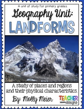
Landforms - Primary Unit of Study
Landforms - Primary Unit of Study:
Aligned with Kindergarten standards
1. PowerPoint with real images
2. Writing Packet with images
OR Writing Packet with empty pages for buyers craft choices.
3. Easy Reader
4. Writing Cards
5. Writing Page
6. Play-doh Mats or Posters
Subjects:
Grades:
PreK - 2nd
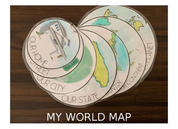
My Own World Map
Have your children learn about the world around them in relation to their own home address, street name, city, state, country, continent, and world map. Have them color in the map or color it in yourself. For our map we printed and then used a hole-punch to put our map together on a simple metal ring. The file is currently loaded with simple clip-art outlines for North America, United States and Florida, but can easily be interchanged with outlines from other continents, countries and states. Ti
Subjects:
Grades:
PreK - 4th
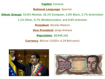
Venezuela
Powerpoint with pictures and explanations on Venezuelan geography, population, language, ethnicity groups, government, independence, food, animals, land, climate, language, dance, currency, flag, etc. Also includes a video, and an activity. Great activity for culture week or any cultural activity. Also discusses climate in relation to the Equator.
Grades:
PreK - 6th
Plant Themed Cardinal Direction Posters: NSEW - printable classroom decor
Welcome to our printable cardinal directions posters, designed to elevate your classroom environment while aiding student learning! This comprehensive set features all directions: north, south, east, and west; with intermediary directions of northeast, northwest, southeast, and southwest. It provides a convenient reference for students throughout their day. We suggest laminating or printing on durable cardstock for long-lasting use, ensuring these resources remain vibrant and functional for year
Grades:
PreK - 12th
Also included in: Plant Themed Classroom Decor GROWING Bundle
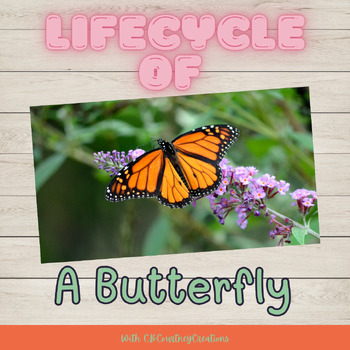
Lifecycle of a Butterfly with Presentation, Worksheets, and a coloring page
Let's take a look at the amazing Lifecycle of a BUTTERFLY! Let's learn about the lifecycle stages, what and how butterflies eat, and where they live! In the slides, you will find fun facts, photos, information, videos, and a short mini-quiz at the end. Within your purchase, you will receive worksheets.My kiddos love these presentations and beg for more!****If you would like to see a preview, view the computer in "Product Video Preview"! PLEASE NOTE: When you purchase this product, you will be gi
Subjects:
Grades:
PreK - 2nd
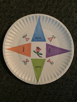
Compass Craft
All you need is some markers, a paper plate and these cut outs for early explorers to learn how to use a compass. Completing map activities is fun when they have a hand made reference of north, south, east and west!
Draw a personal design in the middle and bon voyage!
Grades:
PreK - 2nd
Types:
Flat Stanley Host Family Letter
If you haven't already, it's time to explore everything that the Flat Stanley Project has to offer!
It's a terrific way to learn about America (or the World!), while also focusing on reading, letter writing, comparing and contrasting, climate, culture, geography, measurement, and more! The project can also be altered in order to use with students in grades Pre-K through 8th!
This letter will help you to locate host families for your students' "flat friends." The letter will be sent home with
Grades:
PreK - 8th
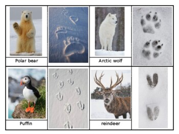
The Arctic Animals track Card
Here's some of the arctic animal's track.Let's hide this card and find them.Whose track? Gusse!
Grades:
PreK - 3rd
Types:
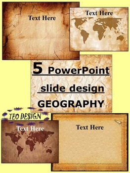
Maps Vintage PowerPoint slide design Editable Template
Maps Vintage PowerPoint slide design Editable TemplateThis product includes 5 PowerPoint slide designThis design can be used as a PowerPoint to add all of your own text or print the slides to create an attractive geographic- themed word wall!The zip file contains: 5 PowerPoint slide design- 45 pagesPerfect design, ideal for classroom use for any age.Enjoy!***************************************Editable PowerPointLadybugs- 3 PowerPoint slide design SPRING- PowerPoint slide design BUTTERFLY- Po
Subjects:
Grades:
PreK - 12th
My Hometown TAIWAN (An introduction of Taiwan for International Fair)
Slides version: https://docs.google.com/presentation/d/1EnT1L5cfX8kaeQ8e6QTmRdyjloS-a9s8t85_JM8y9HU/copy
Subjects:
Grades:
PreK - 12th, Higher Education, Adult Education
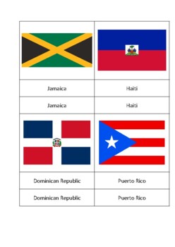
200+ Flags of the World Montessori Classified Cards/Flash Cards
Over 200 flags included!This is a classified card/flash card set of country and sovereign state flags from all six continents (Antarctica excluded). Expand your child's knowledge of geography at home or at school with these quality cards and labels. Print, cut, paste. Idea: paste flags onto cardstock that corresponds to the continent to correlate to the Montessori classroom materials i.e. paste flags of South America onto pink cardstock. Card size: 9 cm x 7 cm image. 9 cm x 2 cm name label. Inc
Subjects:
Grades:
PreK - 1st
Communities I Belong To- Editable Booklet
Print and use the booklet as is or change the clipart to match to location of your class. Print, cut in half, and staple.
Subjects:
Grades:
PreK - 2nd
Types:
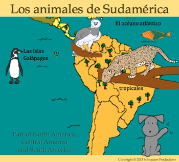
Animals of South America with Spanish by Pepper
Pepper's booklet, maps, PowerPoint, posters and games introduce animals of South America. Students learn animal names, habitats and locations, and the sounds they make. Students practice using the verbs "ser" and "vivir" in the first, second and third person and can write about their own favorite animals using Pepper's "Mi Animal" sheets. Lists of additional animals, habitats and voices are included to help with this activity. Games are included to help students learn to speak and read aloud
Subjects:
Grades:
PreK - 6th
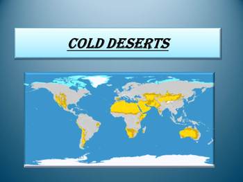
Free Cold Deserts
Free Cold Deserts
If you enjoy these pages please see my full unit:
COLD DESERTS- Animals- Plants- Interactive PowerPoint presentation
**********************************************************
PowerPoint presentation:
- Antarctic Desert
- Arctic Desert
PLEASE LEAVE SOME NICE FEEDBACK IF YOU DOWNLOAD OUR FREEBIE RESOURCE :)
This is a beautiful and informative 9 slide PowerPoint presentation.
You can provide feedback if you think this is a great resource for your class and follow my store for
Subjects:
Grades:
PreK - 9th
My Book About Israel, coloring
This is a book that you assemble and students can color about the country of Israel, perfect for and all around the world celebration!
Subjects:
Grades:
PreK - 2nd
Types:
Africa Passport Stamps
Passport stamps for when your students learn about the great continent, Africa!
Subjects:
Grades:
PreK - 5th
Showing 1-24 of 87 results


