65 results
Preschool geography worksheet microsofts
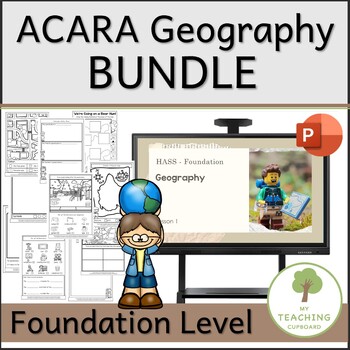
ACARA Foundation Stage Geography Unit BUNDLE
This BUNDLE includes 10 PowerPoint lessons and a corresponding student Journal. You will have everything you need to teach the ACARA Geography Unit for the Foundation Stage.The lessons and the journal activities are all carefully aligned to ACARA—Foundation Level content descriptors from the Geography strand of the Humanities and Social Sciences (HASS) Curriculum.Each page in the student journal corresponds with each of the 10 PowerPoint lessons. The specific ACARA content descriptors addressed
Subjects:
Grades:
PreK - 2nd
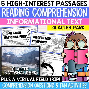
Reading Comprehension on Glacier National Park with Virtual Field Trip
Unlock the wonders of Glacier National Park with this exclusive reading comprehension product! Immerse your students in captivating narratives with five engaging, nonfiction passages and accompanying comprehension questions. Watch their close reading skills soar as they delve into the park's diverse ecosystem, geological wonders, and rich history. This resource goes beyond mere comprehension, offering additional activities that inspire critical thinking and creativity. Ignite their curiosity and
Subjects:
Grades:
PreK - 5th
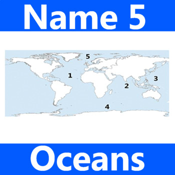
Name 5 Oceans Geography Classroom Activity Map Worksheet 1st-4th Grade
This is the perfect classroom activity for 1st, 2nd, 3rd, and 4th Grade students who are learning where the different oceans are. This five question geography worksheet has them finding and naming the different oceans of the world.
Grades:
PreK - 12th, Higher Education, Adult Education, Staff
Types:
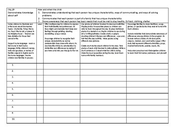
Gold Checklist objectives 29-32 Social Studies
These are checklists I made and use almost daily for gold data collection. This includes check list for A,B,C,D, and E if the objective has it. I have taught gold for 3 years
• Each objective checklist is 2 pages and has room for 20 students’ names on
the left side.
• The objective is also listed at the top for easy reference.
• Level category - On the left side next to the names is a category labeled level
so that you can easily see all the students’ levels in a list and en
Grades:
PreK - 1st
Types:
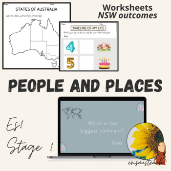
People and Places Geography Program, Worksheets and PPT Kindergarten & Stage 1
Use this editable People and Places Program for your ES1 or Stage 1 class! Differentiated Worksheets for your students understanding - pick and choose based on their needs. Follow the semester Geography program with all the resources you need.Appropriate for: Australian teachersIncludes:37 worksheets (with answers as needed)13 page Geography program (cross KLA, NSW outcome for Australian Curriculum)Continents Quiz on PPT (9 slides)Total: 59 pagesThis product mentions my Places PowerPoint Bingo,
Subjects:
Grades:
PreK - 2nd
Also included in: People and Places Bundle - ES1 Stage 1 Places Bingo and Entire Program
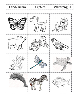
Land Air Water
Land Air and Water sorting activity with animals. Used after lesson to check understanding.
Subjects:
Grades:
PreK - 2nd
Types:

Me on the Map
Circle templates to be used for a "Me on the Map" activity. For use with a social studies unit about communities. Students will have a visual of how they fit within their community and how each small piece fits into a larger scheme.
Subjects:
Grades:
PreK - 5th
Types:
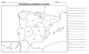
Geografía - España (Prueba / mapa)
A great geography quiz in Spanish on the Autonomous Communities and Capitals of SPAIN (on legal-size, 8x14 paper). This Microsoft Word document is easily edited, so you could very well change the country names to English.
Quiz includes a blank map with numbered countries and then the numbers 1-17 on the right with spaces for students to fill in the country names and capitals. Included on the back (page 2) is an optional "word bank" with the names of the thirteen countries and their respective c
Subjects:
Grades:
PreK - 11th
Types:
Where I Live Book, 1st Montessori Great Lesson Activity
Students can use page prompts to guide their personalized artwork and better conceptualize their place in the Universe in this "Where I Live" book. Beginning with the broad concept of the Universe and breaking down their location in the cosmos to their own home, students will see exactly where s/he or they fit in! The book is editable as a Word document so that you can specialize the pages to fit your students. This activity can be given as single pages over several days or as a complete book. B
Grades:
PreK - 9th
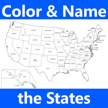
United States US Geography Color Name States 10 Questions Worksheet Map
United States US Geography Coloring and Naming States Classroom Activity 10 Questions Worksheet 1st-4th Grade Social Studies Map for StudentsThis is the perfect classroom activity for 1st, 2nd, 3rd, and 4th Grade students who are learning where the different states are. This ten question geography worksheet has them finding, coloring, and naming different states.
Grades:
PreK - 12th, Higher Education, Adult Education, Staff
Types:
Flags of Europe
Be world-wise!
This is the third part of the series—Countries of the World: Flags and Capitals.
A lot of students today, whatever their age, do not know about the different countries of the world. This product introduces them to the 50 countries of Europe. This includes the flag, the capital and the currency in use. With regular practice, they will be familiar with all these countries. It can really enhance their general knowledge and geography. There is no restrictive age group—it can be used
Subjects:
Grades:
PreK - 12th
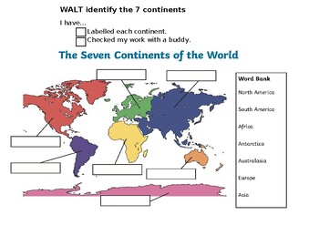
Identifying and Labelling the 7 Continents (year 1 geography) Editable.
7 continents labelling activity, including success criteria self and buddy check.
Subjects:
Grades:
PreK - 1st
Types:
Flags of Asia
Be world-wise!
This is the second part of the series—Countries of the World: Flags and Capitals.
A lot of students today, whatever their age, do not know about the different countries of the world. This product introduces them to the 49 countries of Asia. This includes the flag, the capital and the currency in use. With regular practice, they will be familiar with all these countries. It can really enhance their general knowledge and geography. There is no restrictive age group—it can be used
Subjects:
Grades:
PreK - 12th
Flags of Africa
Be world-wise!
A lot of students today, whatever their age, do not know about the different countries of the world. This product takes the first step, introducing them to the 54 countries of Africa. This includes the flag, the capital and the currency in use. With regular practice, they will be familiar with all these countries. It can really enhance their general knowledge and geography. There is no restrictive age group—it can be used with very young students as well as adults.
The zip file
Subjects:
Grades:
PreK - 12th
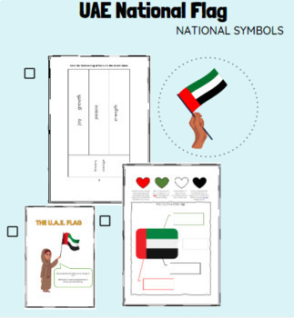
UAE Social Studies National Flag
UAE Social Studies Objective: To discuss symbols, songs and traditions that identify the United Arab Emirates. To understand the importance of preserving the elements of national identity. United Arab Emirates National Flag worksheet for Grades 1-3. Simple and fun colouring worksheet with the meaning behind each color. More detailed worksheet with a longer definition behind each color and its meaning. Fun Flag Day and National Day activities.
Grades:
PreK - 5th
Types:
Also included in: UAE Social Studies: Symbols&Traditions
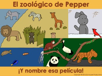
Pepper's Zoo is a Wildlife Reserve in Spanish
Learn some popular animals by continent and by movie with Pepper as she tours wildlife reserves of the world. In the booklets, interactive PowerPoint presentations, worksheets and pictures, Pepper introduces Spanish vocabulary and simple sentences most suitable for those learning elementary Spanish in grades pre-K to 5 (or ages 3 to 10). The documents are in PDF, PowerPoint and Word so you can edit them. For French or English go here.
The three interactive Powerpoints are suitable for all a
Subjects:
Grades:
PreK - 5th
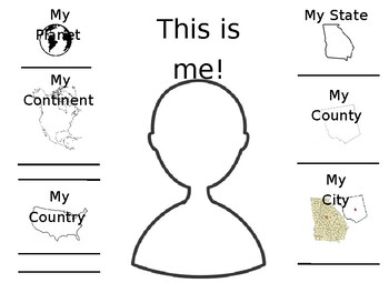
Me On the Map
Great graphic organizer for "Me On the Map" by Joan Sweeney. Completely editable! This was created for my 1st grade students to use to assess their understanding of their place in the world. Aligns perfectly with the Georgia Standards of Excellence. You can typically type your county in on Google Images and find and outline image of it!
Subjects:
Grades:
PreK - 3rd
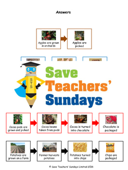
Where Food Comes From Lesson Plan, PowerPoint and Worksheets
Includes an editable Word / PowerPoint version and a PDF version of each file:- a lesson plan- a PowerPoint on where our food comes from- a worksheet on where our food comes from (which can be seen in the preview)- an extension activityYou can find more geography lesson plans, worksheets, activities and other teaching resources in our Save Teachers’ Sundays TpT store at www.teacherspayteachers.com/Store/Save-Teachers-Sundays
Subjects:
Grades:
PreK - 1st
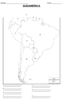
Geografía - Sudamérica (Prueba / mapa)
A great geography quiz on South America (in Spanish) on legal-size, 8x14 paper. This Microsoft Word document is easily edited, so you could very well change the country names to English.
Quiz includes a blank map with numbered countries and then the numbers 1-13 on the bottom with spaces for students to fill in the country names and capitals. Included on the back (page 2) is an optional "word bank" with the names of the thirteen countries and their respective capitals in alphabetical order.
I
Subjects:
Grades:
PreK - 12th
Types:
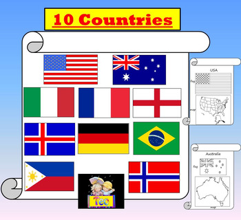
Countries USA Australia Italy England France Brazil Iceland distance learning
10 Countries USA , Australia , Germany , Italy , England , France , Brazil , Norway , Philippines, Iceland , PDF + PowPoint Presentation The zip file contains:- 35 different pages PDF - 35 slides PowPoint Presentation PPT animated presentation to use it in the classroom with any type of interactive board. Use F5 for full screen and clicks or keyboard arrows to run presentation.Countries featured: - Maps- Flags- Fun factsThanks for stopping by!*****************************************************
Grades:
PreK - 8th
Compare our lives with other cultures (year 1 geography) Editable.
Drawing task for year 1 geography.
Subjects:
Grades:
PreK - 1st
Types:
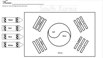
asian pacific american heritage month
Asian American and Pacific Islander Heritage Month is here! Teach your students how to write and identify national flags with these easy worksheets.
Subjects:
Grades:
PreK - 2nd
Types:
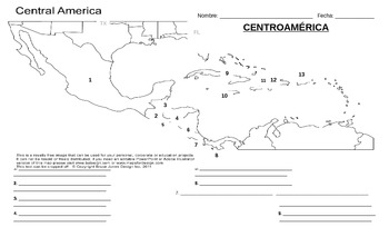
Geografía - Centroamérica (Prueba / mapa)
A great geography quiz on Central America (in Spanish) on legal-size, 8x14 paper. This Microsoft Word document is easily edited, so you could very well change the country names to English.
Quiz includes a blank map with numbered countries and then the numbers 1-13 on the bottom with spaces for students to fill in the country names and capitals. Included on the back (page 2) is an optional "word bank" with the names of the thirteen countries and their respective capitals in alphabetical order.
Subjects:
Grades:
PreK - 12th
Types:
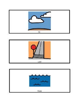
Air, Land, Water Transportation Match
Boardmaker visual to support transportation unit. Students can sort various forms of transportation to the correct category: land, water, air. Visuals can also laminated and velcroed to be used multiple times.The Picture Communication Symbols ©1981–2015 by Mayer-Johnson LLC. All Rights Reserved Worldwide. Used with permission.
Subjects:
Grades:
PreK - 12th
Types:
Showing 1-24 of 65 results


