5,989 results
Free geography independent works
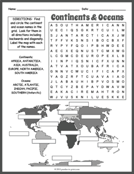
FREE Seven Continents & Oceans Word Search Puzzle Worksheet Activity
Help your kiddos learn the names of the continents and oceans with this fun (and FREE) puzzle worksheet. Puzzlers must find the twelve words in the word search grid and then place them correctly on the world map. Puzzles make fun no prep activities for early finishers, bell ringers, morning work, handouts, homework, unit or lesson plan supplements, sponge activities, introductions to new topics, classroom themes, and sub files.The 12 hidden vocabulary words are: Africa, Antarctica, Arctic, As
Subjects:
Grades:
3rd - 6th
Types:
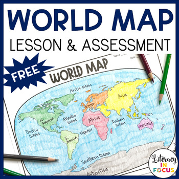
World Map Activity and Assessment | Free | Printable & Digital
World Map Lesson and Assessment! This printable and digital World Map Lesson and Assessment focuses on continents, oceans, and the Equator. A color reference map and assessment answer key are also included! **This resource is part of the World History Map Activities Bundle. TEN map lessons and assessments are included at a 20% discount price! Click here to see all the resources in the bundle and take advantage of the HUGE savings.WHAT TEACHERS ARE SAYING ABOUT THIS PRODUCT:♥ This is EXACTLY wh
Grades:
4th - 7th
Types:
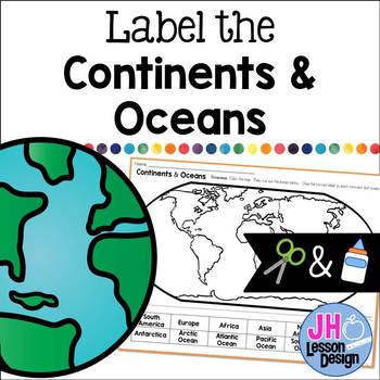
Label the Continents and Oceans: Cut and Paste
This cut and paste activity provides an opportunity for your students to practice labeling the continents and oceans on a world map.
Subjects:
Grades:
K - 5th
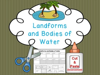
Landform and Body of Water FREE Cut and Paste Match
Students cut and paste pictures of landforms and bodies of water with their name. Color coded by landforms (white pieces) and bodies of water (gray pieces). Answer key is included!
Landforms included:
-mountain
-valley
-plateau
-plain
-hill
-island
Bodies of Water
-ocean
-lake
-pond
-river
Answer Key Included
Clipart by:
Ashley Hughes and Scrappin Doodles
Subjects:
Grades:
K - 3rd
Types:
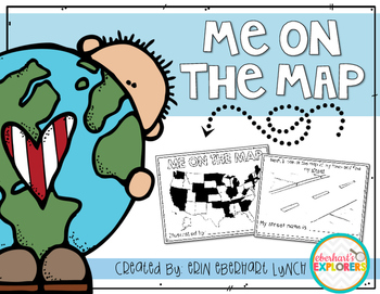
Me on the Map mini book
This book will help students understand the importance of map skills and give them a basic understanding of where they're located in relation to the world. Students will be introduced to the following words:
Country
State
Town/City
Street
House/Address
It's very simple and fun to do with students and is a great accompaniment for the Me on the Map book by Joan Sweeny.
Subjects:
Grades:
PreK - 2nd
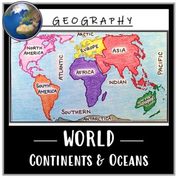
World Map Activity- Label & Color the Continents and Oceans! (Google Compatible)
Use this Continents & Oceans Map Coloring activity to jump-start your lesson! Each student will make their own, personalized world map that focuses on labeling and coloring the continents and oceans, all while enhancing their knowledge of the earth. After the map activity, your students can test their skills with a blank map assessment! A completed, colored map is included to use as reference. This resource is Google compatible, but the blank map is intended to be printed for coloring and
Grades:
5th - 12th
Types:
CCSS:
Also included in: Ancient Civilizations / World Maps BUNDLE- Color & Label Activities!
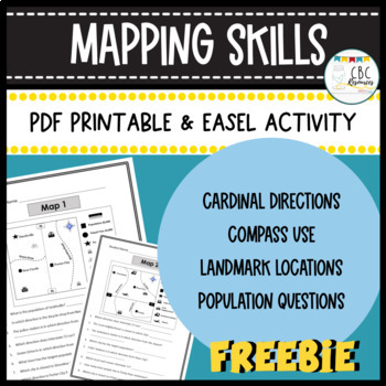
Mapping Skills Worksheets Cardinal Directions Compass Use Easel Activity
Help your students learn more about how to use a map in this free resource. Each page has a specific map that students will need to answer questions about. Students will show understanding of cardinal directions, how to use a compass, locating a landmark, and determining population of specific towns. Teacher keys are provided for easy grading and review with students on a document camera. Each of the maps can be used as a bell ringer, guided practice, or independent class work. This free resourc
Subjects:
Grades:
3rd - 4th
Types:
Geography Packet: Continents, Oceans, & Hemispheres
GEOGRAPHY PACKET: Choose from eight OCEANS and CONTINENTS practice sheets - all ready made for you. NOTE: The packet is updated to include the FIVE main oceans: Arctic, Atlantic, Indian, Pacific, Southern), and an ANSWER KEY to the Geography Packet (excluding the poetry pages). Currently the GEOGRAPHY PACKET Consists of:* the seven continents* the five main oceans * directions - N, S, E, W* hemispheres - northern, southern, eastern, western * labeling maps* answer keys (excludes two poetry page
Subjects:
Grades:
2nd - 4th
Types:
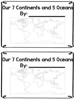
Continents and Oceans Mini Book
This is a Mini Book to help review or introduce the 7 continents and 5 oceans. There are several different world maps here to show as well as a separate page for each student to identify the shape of each continent. This is also a fill in the blank book where students have to write in the names of each continent.
Subjects:
Grades:
1st - 4th
Types:
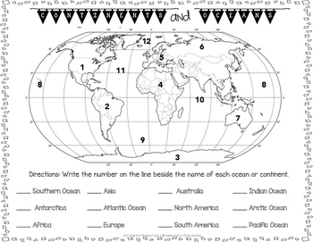
Label the Continents and Oceans Social Studies SOL 3.5
Students will need to correctly label the 7 continents and 5 oceans. This could be used as a quiz or homework.
Social Studies SOL 3.5 Aligned
Subjects:
Grades:
2nd - 4th
Types:
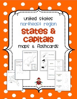
FREE US Northeast Region States & Capitals Maps
UPDATED 2/16/2014! Now includes 3 different maps & 3 different sets of flashcards. Each set of flashcards could also be used as a matching game.
This FREE product contains 3 maps of the Northeast Region of the United States.
• Study guide map labeled with the states and capitals (which can also be used as an answer key)
• Blank map with a word bank of the states and capitals
• Blank map without word bank
Also included are 3 different versions of flashcards to study states and/or capitals
Subjects:
Grades:
3rd - 5th
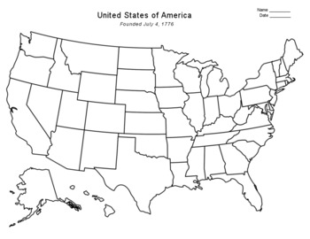
Free - Blank US Map
FREE - Blank US Map. A free, blank US map outline and a northeast-southeast region map. -------------------------------------------------------------------------------------------------------------And for one-stop shopping...SOCIAL STUDIESBundle - US History & US GeographyCalifornia & USA BundleFlorida & USA BundleNew York & USA BundleUS Presidents w/ 12 Graphic OrganizersState Report with Project and Speech - assignment sheetTexas & USA BundleUS States (50 internet
Grades:
PreK - 12th
Types:
Also included in: Top Sellers on TpT
FREE Geography Interactive Notebook (1st Grade)
The Geography Interactive Notebook allows students to play an active role in their learning. The activities in this resource can be used to introduce or practice the Georgia Performance Standards:
SS1G2 The student will identify and locate his/her city, county, state, nation, and continent on a simple map or a globe.
SS1G3 The student will locate major topographical features of the earth's surface.
a. Locate all of the continents: North America, South America, Africa, Europe, Asia, Antarctica
Subjects:
Grades:
K - 2nd
FREE "Less Mess" Explore the World: Research a Country or City
These pages can be used as interactive notebook pages or simply as stand-alone, ready to use student activity pages to make research of a country or city a bit more fun!
My “Less Mess” Interactive Notebook Activities allow for two simple steps: cut around the border and glue it in. That’s it! They are perfect for teachers who may have their students for just one short period per day. However, if you are a big fan of the “folds and flaps” that usually come with interactive notebooks, this resour
Subjects:
Grades:
4th - 7th
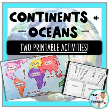
Continents & Oceans Activities- Map Coloring and Interactive Pockets!
Use these fun, printable activities to enhance your lesson on the Seven Continents & Five Oceans! These activities provide clear student directions and are easy to assign for learning centers, independent work periods, or at-home learning. Included:- Two Continents & Oceans Activities:POCKET PLACE CARDS- Students will make a "Continents" pocket and an "Oceans" pocket and place the appropriate card in each one! Scissors and glue are needed.WORLD MAP COLORING & LABELING- Students wi
Grades:
2nd - 6th
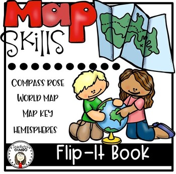
Map Skills Interactive Notebook Flip-It Book
Interactive Notebooks are a fantastic way for students to learn new skills and maintain a record of learning. This Map Skills Flip-It Book could be used as individual pages as you introduce these topics or glued into notebook as a complete book.Includes 5 pages with skills for:continents and oceanscompass rosemap keyequatorSuggestions for use: 1. Students could complete one page at a time as you cover the material. They could trim the page and it could be placed individually into the intera
Grades:
2nd - 4th
Kids Printable Passport Template
Didn’t you always desire to travel the world? Travel to distant locations to learn about diverse cultures and taste new foods?Keep track of the nations you learn about with this printable passport for kids. As you stamp their passport, make them feel as if they’re traveling to another country.You can use this printable as a part of your 'Airport Dramatic Play' or any of your social studies projects. While physically visiting those nations may be challenging, specifically a time like today with t
Grades:
PreK - 5th, Staff
Types:
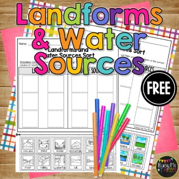
Landforms or Water Sources Sort Printable for Kindergarten or 1st Grade FREEBIE
This is a great landforms and water sources sort worksheet. This is perfect for a social studies lesson on natural resources for your kindergarten, first grade, or second grade students. Students will color the landform or water source at the bottom, cut them out, then sort them into the correct column. There are 6 landforms and 6 water sources to sort. This would be a fabulous review or grade!Guess what? We hit 15,000 followers on TPT! And to celebrate, I’m offering 15 days of freebies! It’
Grades:
K - 2nd
Types:
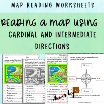
FREE Reading a map using compass directions + ANSWER KEY
This product includes worksheets about reading maps using cardinal and intermediate compass directions. They can easily be differentiated. One of the worksheets is about the cardinal directions only and has fewer and more simple sentences. The other worksheet is about both cardinal and intermediate directions. The worksheets are in both colored and black and white versions. It includes some extra guidelines sheets too.Check out my FREEBIE compass directions worksheets too! https://www.teacherspa
Grades:
2nd - 4th
Types:
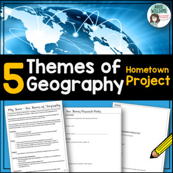
Five Themes of Geography - Project about Your Town - FREE
Five Themes of Geography - Having learned about the five themes of Geography, students apply their knowledge to their own town. Students must research the Location, Place, Region, Human-Environment Interactions, and the Movement of their own community. Includes the assignment sheet and research record with student hints. Students enjoy the opportunity to think like a geographer and learn about their town. Also, be sure to check out my other Five Themes product —>Five Themes of Geography Post
Subjects:
Grades:
6th - 9th
Types:
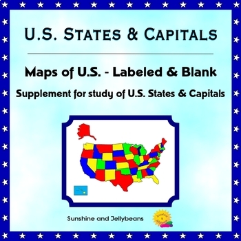
U.S. States & Capitals - Labeled & Blank Maps for Study and Practice - Geography
This set of maps is a perfect supplement to any study of the U.S. states and capitals.The set includes:Color map of the U.S. with states labeledBlack-and-white map with all states and capitals labeledBlack-and-white map with no labels, for student practice.The black-and-white maps can be easily photocopied for classroom use.This set is designed to work with the worksheets, flash cards and activities in my U.S. States & Capitals Bundle: U.S. States & Capitals BundleProducts included in t
Grades:
4th - 7th
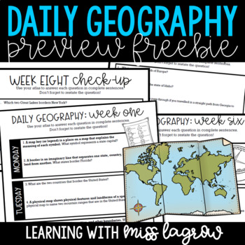
Daily Geography or Social Studies Map Skills: FREEBIE
Ever felt the need for a spiral geography to help your students learn map skills and become aware of the world and country around them? Me too. That's why I developed Daily Geography.Questions deal with United States specifics and basics of other continents and their locations. Topics include borders, directions, bodies of water, latitude and longitude, and more.The system is set up for students to answer two questions per day. On Friday, they take a short "check-up" half sheet of four quest
Grades:
3rd - 5th
Types:
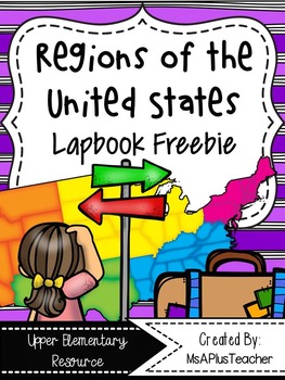
Regions of the USA Lapbook {Freebie}
This resource contains all the pages needed to make a Regions of the United States lapbook. These notes can be used with any textbook, article, or video. This product can also be used as interactive notebook pages for your Social Studies Interactive Notebooks. All interactive note pages can be used in a notebook or lapbook giving you ultimate teacher flexibility!
Topic include:
- Maps of United States Regions & Northeast
- Landforms Flapbook
- Waterways Flapbook
- Climate Flipbooks
- To
Subjects:
Grades:
3rd - 6th
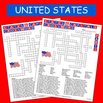
States & Capitals Crossword Part 1 of 2 FREE
This is part 1 of my States & Capitals Crossword worksheet set. Part 2 is also available on TPT. I use these as review and homework assignments. Answer key included. Two versions, one version has a word bank the other version does not.See also:States & Capitals Crossword Part 2 of 2
Subjects:
Grades:
4th - 8th
Showing 1-24 of 5,989 results


