1,368 results
Geography independent works on sale
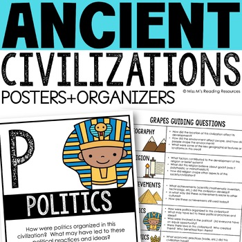
Ancient Civilizations GRAPES Posters Ancient Greece Ancient Rome Ancient China
Help your students learn and organize info about ancient civilizations with these G.R.A.P.E.S. posters, guiding questions, and graphic organizers! The GRAPES Ancient Civilizations Poster and Graphic Organizer Set is an easy acronym to organize information for the basic traits of ancient civilizations. G.R.A.P.E.S. is an acronym for:G- GeographyR- ReligionA- AchievementsP- PoliticsE- EconomicsS- Social StructureGRAPES is an effective way to learn and organize information about different civilizat
Grades:
6th - 8th
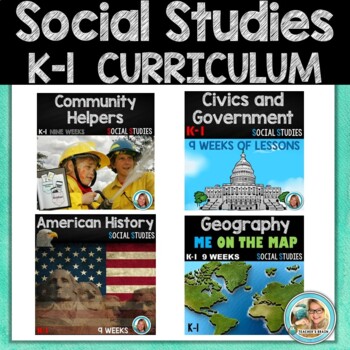
Social Studies Curriculum Kindergarten & First Grade BUNDLE
Looking for a year-long comprehensive social studies curriculum for Kindergarten or 1st Grade? I have you covered with this bundle of 9 weeks of American History, 9 weeks of Geography, 9 weeks of Community Helpers, and 9 weeks of Civics and Governments. BONUS ADDED: Two units - MONEY, WANTS & NEEDS.Check out the preview! NEVER scramble for another social studies lesson again!What's Included …►Unit 1 (9 Weeks) American History (Timelines, History, Past, Then and NOW, Long Ago - Today, Ame
Grades:
K - 1st
Mapping Skills with Google Earth™ Gr. 6-8
Help your middle school students move on to a more complex understanding of map reading. Our resource allows students to further develop their ability to read and understand maps. About this Resource: Practice what you've learned about coordinates by finding the matching countries on Google Earth™. Test your comprehension of a precipitation map by answering questions related to a map of North America. Explore the past with Google Earth™, and see how the population of certain places have changed
Grades:
6th - 8th
Types:
Also included in: Mapping Skills with Google Earth BIG BOOK - BUNDLE
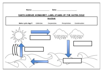
Earth Science worksheet: Label stages of the water cycle
Earth Science worksheet: Label stages of the water cycle2 VERSIONS OF WORKSHEET (Worksheet with a word bank & Worksheet with no word bank)Students have to label the stages of water cycle by looking at the diagram (Evaporation, Collection, Precipitation and Condensation)Students can color in the pictures they are doneWorksheet aimed at higher kindergarten/lower primary levelAnswer Key includedBoth PDF and Editable Word Versions included within the ZIP file
Subjects:
Grades:
K - 6th
Types:
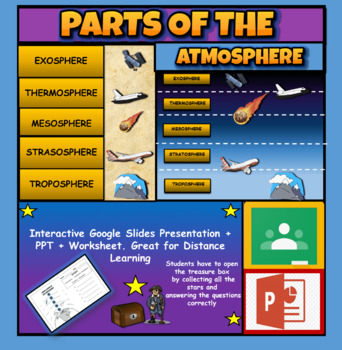
Layers Of The Atmosphere: Interactive Google Slides + PPT Version + Worksheet
Layers Of The Atmosphere: Interactive Google Slides + PPT + Worksheet (Distance Learning)Interactive presentation & quiz on Layers of the atmosphere. Please view the powerpoint previewINTERACTIVE GOOGLE SLIDES/POWER POINT PRESENTATION on layers of the atmosphere. It can be used for distance learning and google classroom or within the classroom.Once downloaded: Please view the GOOGLE SLIDES/POWERPOINT IN 'PRESENT ▶️' modeWorksheet also included in ZIP file 'Parts of the atmosphere' .These are
Subjects:
Grades:
3rd - 8th
Getting To Know You Through Geography: A Beginning of The Year Carousel Activity
Geography teachers, are you always looking for a great Getting To Know You back-to-school geography activity for the beginning of the year for all ages? This activity will encourage your students to become familiar with their classmates as they work in groups and rotate through various stations. What a great introduction to basic geography skills such as graphs, charts, maps, and the concept of culture. It truly teaches geography skills all the while allowing students to collaborate, have fun, a
Grades:
5th - 12th
Types:
Also included in: Bundle for T. Wilson (25 Geography Lessons)
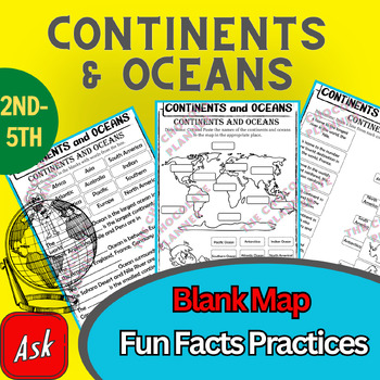
Continents And Oceans | Maps & Globes 7 Continets & Oceans | Facts Activities
Learning about continents and oceans on a map is a great way to engage students and help them remember all seven continents and major oceans in geography. This resource provides tons of practice on maps to help your kids identify the continents and oceans, as well as learn fun new information about each continent and ocean.The facts about continents and oceans are designed in different interactive formats to help your kids engage and have fun while completing them.As there are many questions reg
Subjects:
Grades:
2nd - 5th
Types:
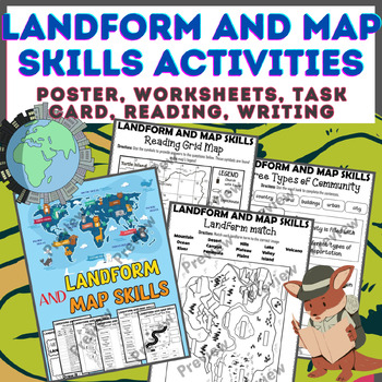
Landform & Map Skills Activity (Poster, Worksheets, Task card, Reading, Writing
Let's spice up your landform and map skills lessons and make learning super fun for your second, third, and fourth-grade students. This Landform & Map Skills Activity (Poster, Worksheets, Task card, Reading, Writing resource covers cool topics like maps, globes, continents, oceans, landforms, suburban, urban, rural areas, directions, and more!The best part? You can use these map skills and landform activities during whole group instruction, independent work, or center time. It's all about fl
Grades:
3rd - 5th
Types:
Israel-Palestine Conflict in Ten Minutes Video Worksheet
This video worksheet allows students learn about the origins and the continued conflict between Israel and Palestine. The video clip is only ten minutes long, but it is packed full of information that will keep your students engaged.This video worksheet works great as a “Do Now Activity” or as a complement to any lecture or lesson plan on current events, terrorism, or the Middle East. The worksheet helps students understand the current conflict in the Middle East. The video is great for visual l
Grades:
7th - 12th
Types:
Inglaterra, lugar de momentos increíbles | Bundle
⭐️ Inglaterra, lugar de momentos increíbles(Presentación en PowerPoint, hojas de tareas, flip book y prueba de Inglaterra)Este paquete recoge todo la información requerida por esta unidad.⭐️ ⭐️ ⭐️ Puedes ahorrar más de un 20% si compras el bundle.⭐️ Incluye:Ubicación geográficaEl gobierno de InglaterraFamilia realCapital de InglaterraSímbolos NacionalesPoblaciónIdiomaReligiónClimaFlora y faunaMúsicaAnimalesReyes de InglaterraCostumbres y tradicionesComida típicaSitios turísticosDeporte nacional
Subjects:
Grades:
3rd
Geography and World History, World Map Quizzes, Quiz Bundle
These 8 pre-numbered maps and 16 quizzes will save you hours upon hours of creation and make preparation for assessing students on geographic locations effortless. Each has been designed with a numbered map, reproducible answer sheet and teacher’s answer key. When the class reaches the larger continents such as Europe, Asia, and Africa, it is suggested that the instructor assess the student in sections or regions before assessing them over the entire continent. This will allow students to learn
Grades:
5th - 12th, Higher Education, Adult Education
Types:
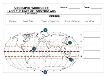
Geography worksheet: Label the lines of longitude and latitude
Geography worksheet: Label the lines of longitude and latitudeStudents have to label the lines of latitude and longitude with the correct names (Equator, South Pole, Tropic of Capricorn, Tropic of Cancer, North Pole)Worksheet aimed at primary level/ high school levelStudent can color in the world map when they are finishedAnswer key included on second page.
Subjects:
Grades:
2nd - 7th
Types:
Map Skills Spanish Destreza para leer mapas Compass Rose Rosa de los vientos
This is the perfect and easy way to teach your students how to understand maps. What map symbols are and what maps mean. These activities are an engaging way for students to develop their skills and practice reading maps.⭐IMPORTANT: You MUST have Power Point (2007 or later).Social Studies Map Skills: This resource includes a PDF (ready to print ) and a PowerPoint guided lesson about maps and symbols. This resource includes:9 Types of Maps✅Physical✅Political✅Historic✅Precipitation✅Population✅Roa
Subjects:
Grades:
2nd - 5th
Mapping the Dust Bowl and the Great Depression
This great mapping activity allows students to map the Dust Bowl, TVA, Hoover Dam and the 50 largest American cities in 1930. Just download the following two USA maps.Please download the modern USA map PDF athttp://bit.ly/3scOWC0 The modern USA Physical feature map PDF can be downloaded athttp://bit.ly/35qMjm8I suggest using an 11x17 piece of paper for the map but an 8x11 piece of paper will work. You can decide what USA map PDF will work best for your students.Depending on the age level of you
Grades:
4th - 12th
Types:
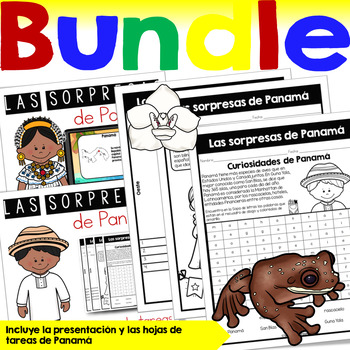
Las sorpresas de Panamá | Bundle
⭐️ Sorpresas de Panamá(Presentación en PowerPoint, hojas de tareas, flip book y prueba de Panamá)Este paquete recoge todo la información requerida por esta unidad.⭐️ ⭐️ ⭐️ Puedes ahorrar más de un 20% si compras el bundle.•Descubrimiento•Ubicación geográfica•Población•Idioma•Capital•Símbolos nacionales•Símbolos naturales•Religión•Clima•Gentilicios•Comida típica•Vestimenta tradicional•Costumbres y tradiciones•Deportes•Sitios turísticos•Música•Y másSígueme en: InstagramFacebookTambién sígueme en m
Subjects:
Grades:
2nd
Geography Game: Around The World (Countries and Continents)
Fun and exciting for all Ages - Middle School through High SchoolWhat a great way to review the geographical location of countries you study throughout the year! Students absolutely love countiries and continents Around the World game so much that they are disappointed that class is over. This world geography game has been played with my students throughout the year, usually at the later part of the year or end of the year, to reinforce students' recall of countries' geographical locations. As t
Subjects:
Grades:
6th - 12th, Higher Education
Types:
Also included in: BUNDLE FOR ALICE
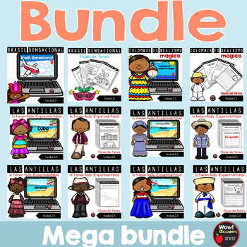
Los países de segundo grado | Bundle
⭐️ Los países de segundo grado | Bundle(Presentaciones en PowerPoint, hojas de tareas, flip books y pruebas)Este paquete recoge todo la información requerida en las siete unidades.⭐️ ⭐️ ⭐️ Puedes ahorrar más de un 20% si compras el bundle.Este recurso incluye:•La información importante sobre los siguientes países:2.1 Brasil, sensacional2.2 Colombia es realismo mágico2.3 Las Antillas lo tienen todo. ¡Experiméntalas!Cuba, Haití, Jamaica, República Dominicana y Puerto Rico2.4 Las sorpresas de Panam
Subjects:
Grades:
2nd
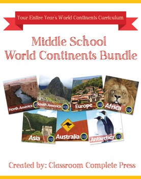
Middle School World Continents Bundle Gr. 5-8
This Middle School World Continents Bundle for grades 5-8 is your ENTIRE YEAR'S WORLD CONTINENTS CURRICULUM in one bundle. Filled with EXTENSIVE reading passages, ENGAGING activities, and FULL COLOR maps, and COMPREHENSION questions that cover your State Standards, and written to Bloom's Taxonomy. The activities in this bundle can be used for whole-group, small group, or individual work. NO PREP necessary, just print!This BUNDLE includes 420 pages and will provide you with an ENTIRE YEAR of Wor
Grades:
5th - 8th
Types:
Geography Pre-assessment/Post-assessment Beginning of Year (Easel Act. Included)
This 80+ question assessment is a great way to evaluate what your students know going into the school year, what they have learned during the first semester as well as what knowledge and skills they have gained by the end of the school year. Why waste precious time creating a thorough and effective test when it has already been done for you? Use this clean and well-put-together assessment over and over again throughout the school year to assess your students.Comes with questions, a student answe
Grades:
6th - 12th, Higher Education, Adult Education
Types:
Also included in: Build A Bundle for Georgianne B
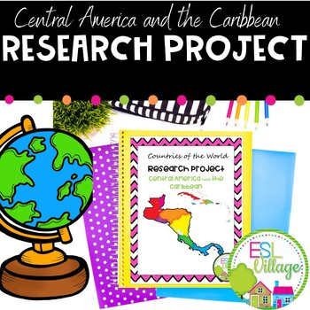
Country Research Projects Central America and The Caribbean
Introducing our ready to use , print and go, Country Research Project Central America and the Caribbean for Teachers! This engaging resource is perfect for a country study in the classroom.This project greatly facilitates differentiated instruction in the classroom by offering flexibility in assignment options. Teachers can choose to have students complete all four graphic organizers or assign a specific number based on individual needs and learning objectives. Additionally, students have a voic
Subjects:
Grades:
3rd - 9th
Also included in: Country Research Projects Geography Templates BUNDLE
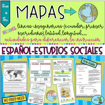
Mapas Geografia Linea del Ecuador Primer meridiano Latitud Longitud Maps Spanish
If you need to teach your class map skills and the basics of the globe, this unit has you covered! Here are ALL the topics covered in this unit: latitude ✅longitude ✅equator ✅prime meridian✅hemispheres Included in this geography unit are:A full color presentation with 15 slides and explanations of all the above topics. Helps explain all the concepts, so it's a great tool for engaging your students to participate and easy for you with the info you need to teach. Also it’s an easy and motivati
Subjects:
Grades:
2nd - 5th
Types:
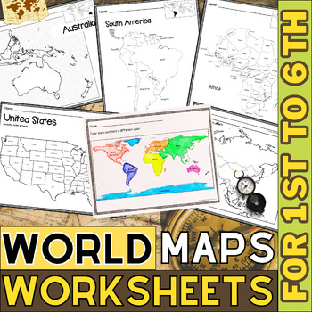
World Map with Countries | Continents and Oceans Blank Map | 1st to 12th Grade
These printable maps will be useful whether you are studying geography, world history, countries around the world, or you are just trying to show your kids the route you are taking on your next vacation! For kids learning about states, we've included a printable map of the world, as well as maps of North and South America, Europe, Asia, Australia, Africa, and Antarctica. Furthermore, the world map printable set comprises labeled and blank options for printing. To print the printable map PDF file
Grades:
K - 12th
Types:
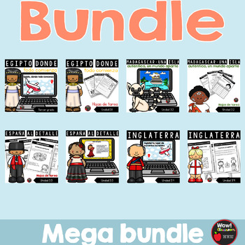
Los países de tercer grado | Bundle
⭐️ Los países de tercer grado | Bundle(Presentaciones en PowerPoint, hojas de tareas, flip books y pruebas)Este paquete recoge todo la información requerida en las siete unidades.⭐️ ⭐️ ⭐️ Puedes ahorrar más de un 20% si compras el bundle.Este recurso incluye:•La información importante sobre los siguientes países:3.1 Egipto, donde todo comienza3.2 Madagascar: una isla auténtica; un mundo aparte3.3 España al detalle3.4 Inglaterra, hogar de momentos increíbles3.5 China como nunca antes3.6 India inc
Subjects:
Grades:
3rd
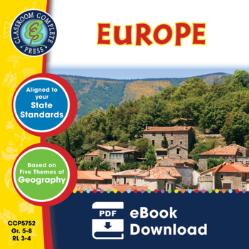
Europe Gr. 5-8
Journey to the ancient centers of culture and trade with a trip to Europe. About this Resource: Understand the variety of ecosystems that inhabit the continent with a climate map. Gain a sense of direction by identifying the European cities that are found in the western and eastern hemispheres. Do some research into the famed Thames river and find out how long it is, which countries it passes through, and into which large body of water it flows into. Learn about the accident at Chernobyl and wha
Grades:
5th - 8th
Types:
Also included in: Middle School World Continents Bundle Gr. 5-8
Showing 1-24 of 1,368 results


