113 results
Geography handout images
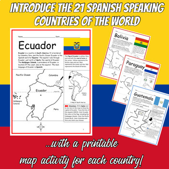
Spanish Speaking Countries Printable Worksheets BUNDLE
Introduce your students to the 21 Spanish-speaking countries one country at a time with this bundle of printable worksheets! Each country includes two worksheets (plus answer key). Simple map activity and reading comprehension questions. Your students will read a brief introduction to the country (location, capital, flag, language), write the capital next to the star on the map, color the small map, and use the map and compass to answer questions on page 2. Colored pencils and a pen or pencil ar
Subjects:
Grades:
3rd - 5th
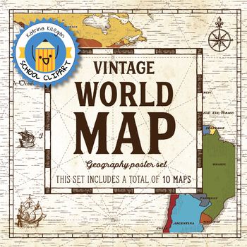
World map and continents: Vintage style geography poster set (10 maps)
World map and continents: vintage style geography poster setThis world and continents set includes a total of 10 maps:• World• Africa• South America• Central America• North America• Europe (2)• Middle East• Asia• OceaniaMaps capture current geographical and political boundaries (as of May 2019) with vintage-style graphics and script. The world map clearly labels continents and oceans. Continent maps label all countries, oceans and include a color-coded country key.These maps are a great addition
Subjects:
Grades:
PreK - 12th, Higher Education, Adult Education, Staff
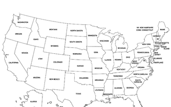
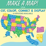
United States Map
United States Map.
FYI - For some reason the bottom is cut off a little.
Grades:
PreK - 12th, Higher Education, Adult Education
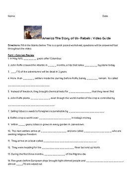
"America: The Story of US" Video Guide: Rebels and Revolution
History's "America: The Story of Us" is a great addition to any US History classroom. I show episodes for each unit we are studying in my 7th grade classroom. These video guides allow students to watch the video but also pay attention to details as they fill in the blank questions. These guides also serve well as a review for assessments at the end of the unit.This resource includes:Video Guide QuestionsAnswer Key
Grades:
6th - 9th
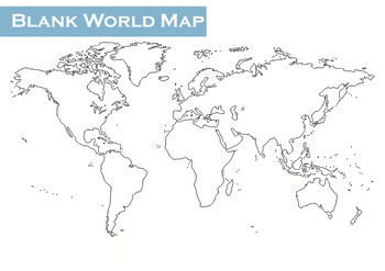
Geography World Map Blank BW All Continents Great for Coloring/Label
Geography World Map BlankBlack and white map of the world. Great for labeling and coloring.Can even be used with story books when geography or different continents arise.Can be used with the classic story," Alexander's Terrible, Horrible, No Good, Very Bad Day," when the main character repeatedly expresses his want to move to 'Alaska.'No Prep, blank world map, to show rather than tell places that come up each day in the classroom.pdf
Subjects:
Grades:
Not Grade Specific
Types:
CCSS:
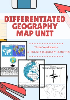
Differentiated Geography Map Unit Preview
Hello all!
This is unit focused on the big picture elements of 4th grade Geography/History unit about Maps. The free element is the first page of this 6 page workbook! These worksheets were created for a special education student with significant disability in the fourth grade to have the same exposure to our classical common core aligned curriculum. With that being said, these worksheets and homework sheets (three info sheets and three homework sheets) can be used from 1-4th graders or for spe
Subjects:
Grades:
1st - 4th
Types:
Countries of the World A to Z Printable Geography Worksheets with Maps Bundle
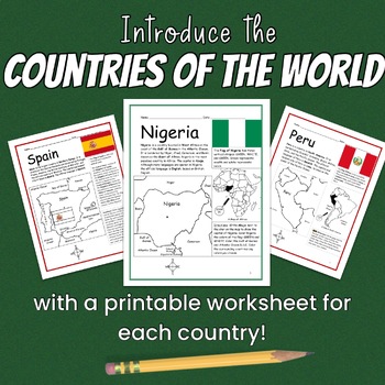
Introduce your students to the countries of the world A to Z one country at a time with two printable worksheets (plus answer key) for each country! 195 countries included in this bundle (list below). Each country includes a simple map activity and reading comprehension questions. Print and Go!For each country, your students will read a brief introduction to that country (location, capital, flag, language), write the capital next to the star on the map, color the map, and use the map and compass
Subjects:
Grades:
3rd - 5th
Types:
Map of Spain (black and white)
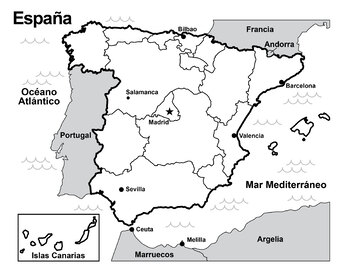
Print out this map of Spain to introduce the geography of Spain and its neighbors. Great as a coloring page. Students can also add in the Autonomous Communities.
Subjects:
Grades:
Not Grade Specific
MAP of Ancient Greece (Hand-drawn with labels!)
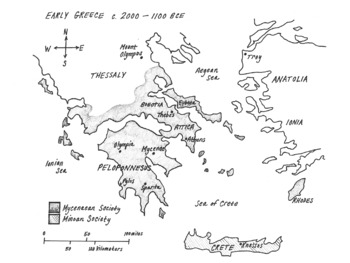
This is a clear, hand-drawn map of ancient Greece made to fit perfectly on the page.Things created by hand are more interesting to learners!It includes labels for the following:Aegean Sea, Ionian Sea, Sea of CreteThessaly, Anatolia, , Boeotia, Peloponnesus, Crete, RhodesSparta, Athens, Knossos, Olympia, Pylos, Athens, Thebes, Troy, & Mt. Olympus*Mycenaean & Minoan Societies (*shaded regions)
Grades:
6th - 8th
Types:
Map of African Kingdoms and Cities
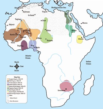
This map shows 9 different kingdoms in Africa between 1000 CE and 1800 CE.A majority of the cities depicted in this map are trade cities along the Trans-Saharan Trade Route. The Sahara Desert and Atlas Mountains are also shown.
Subjects:
Grades:
Not Grade Specific
Types:
Also included in: African Kingdoms Map Assignment
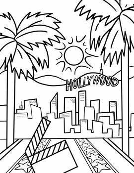
Hollywood California Coloring Page
Instant download coloring page featuring Hollywood California.
Subjects:
Grades:
Not Grade Specific
Types:

Russia and Ukraine Notes and Quiz
Learn and quiz the importance of geography in the Russia and Ukraine conflictResourcesPortsTradeAgricultureIndustry NATOAll have a part
Grades:
9th - 12th
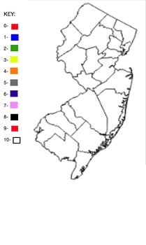
Blank NJ Counties Map
This is a blank map of the New Jersey counties. There is a key with the numbers 1-10 and colors next to each number.
Subjects:
Grades:
1st - 12th
Types:
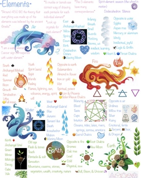
The four elements (air, water, fire, & earth)
Information on each of the 4 elements correspondences
Subjects:
Grades:
Not Grade Specific
Types:
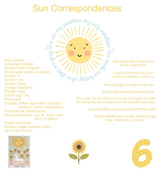
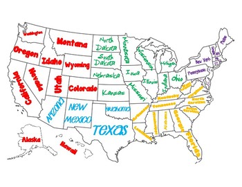
Regions of the United States Map/Poster
This map can be used for geography, regions of the United States, or as a poster.
If you print it in adobe reader, you can choose to print it as a poster, and print it over multiple pages, cut, and glue together to make a larger map!
Subjects:
Grades:
2nd - 6th
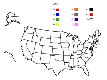
Blank United States Map and Number Color Key
This is a blank United States Map that also has a Key to it. In the key are the numbers 0-9. Each number has a color next to it.
Subjects:
Grades:
1st - 12th
Types:
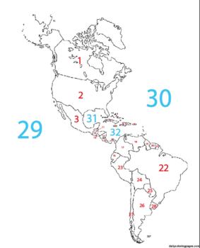
Blank Western Hemisphere Map with #'s for countries and major bodies of water
This map can be used as part of a digital assignment or can be used as an assessment where students have to identify the name of the place being identified by number.
Subjects:
Grades:
4th - 9th
Types:
Global Settlement: Patterns and Sustainability
Application: Analyze some significant interrelationships between the Earth’s physical features and human settlement patterns. Inquiry Question: Your critical stance is to evaluate some ways in which the physical environment may affect how people can sustain their settlement in the future.Task: Students will access and select physical images of Ontario and Newfoundland via http://quest.eb.com/ and describe the physical features, shape and size of settlement and inquire and evaluate how the physic
Subjects:
Grades:
6th - 12th
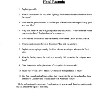
Hotel Rwanda Movie Questions
Discussion questions for students to answer while watching the movie "Hotel Rwanda."
Grades:
9th - 12th
Types:
CCSS:

Miso Soup Japanese Cuisine Cooking Foods Lab International Global Culinary
Bring Japan to the classroom kitchen with this Miso soup lab! The recipe has substituted some hard-to-find ingredients that may be hard to find in American grocery store.The recipe is broken down step by step with a color coded with a place to write the name of the student responsible for each step of the recipe. This way they are organized and have read through all the steps when they begin.Before or after the lab, they can fill out the corresponding word search during down time (answer key inc
Subjects:
Grades:
Not Grade Specific
Types:
Also included in: International Cuisine Global World Food Units Curriculum GROWING BUNDLE
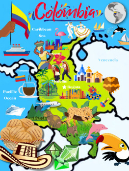
Colombia Map for Encanto Fans
This is a free map for your little Encanto lover which shows some important features from the movie Encanto, like Julieta's arepas, Antonio's rainforest animals, etc.
Subjects:
Grades:
PreK - 4th
Types:
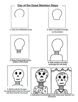
Day of the Dead Skeleton
A simple way to draw a skeleton to teach your students about Day of the Dead. Day of the Dead is a Mexican holiday (although it can be celebrated all over the world) where people honor and remember family members who have died. This holiday is celebrated on Nov. 1 and 2.
Subjects:
Grades:
2nd - 5th
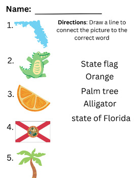
Florida exit ticket or Quiz
Simple way to check for understanding on the symbols of the state of Florida.
Subjects:
Grades:
K - 2nd
Types:
Showing 1-24 of 113 results


