491 results
10th grade geography graphic organizer pdfs
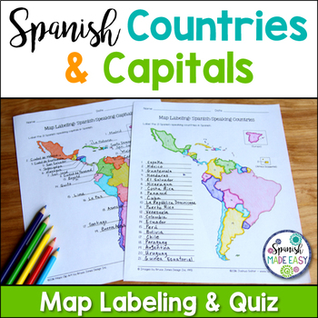
Spanish-Speaking Countries and Capitals Maps and Quiz
This is a map labeling activity and matching quiz over the 21 Spanish-speaking countries and capitals. Students will label and identify the 21 Spanish-speaking countries and capitals in Spanish. This is a great activity when reviewing Spanish-speaking countries and capitals or Spanish geography. Makes a great coloring page. Answer keys are included.
Countries included:
España, México, Costa Rica, El Salvador, Guatemala, Honduras, Nicaragua, Panamá, Cuba, La República Dominicana, Puerto Rico, Ar
Subjects:
Grades:
6th - 12th
Also included in: Spanish Countries and Capitals Geography Bundle
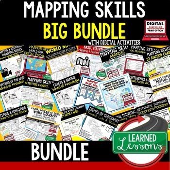
Geography Mapping Skills BUNDLE (World Geography Bundle), Mapping Activities
This Mapping Skills BUNDLE, Google Classroom, Print & Digital Distance Learning covers important foundational mapping skills topics such as Geography Overview, Types of Maps, Map Elements, Key Places on Maps, Latitude, Longitude, Time Zones, Climate Zones, Five Themes of Geography, & Biomes. It also includes historical thinking skills topics such as primary and secondary sources, artifacts, timelines, political cartoons, debates, push/pull factors, charts & graphs, comparing, contras
Grades:
6th - 12th
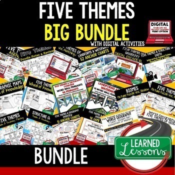
Five Themes of Geography Activity BUNDLE (World Geography Curriculum Bundle)
Five Themes of Geography BUNDLE, Google Classroom, Print & Digital Distance Learning ALSO PART OF A WORLD GEOGRAPHY MEGA BUNDLE, covers Five Themes, Spheres, Inside the Earth, Landforms and Waterways, Earth & Sun Relationships, Weather and ClimateThis bundle includes links to engaging resource in Dropbox and Google Format as well as direct PDF downloads. Sign up for email updates and follow me on TPT for updates.INCLUDES:Five Themes Unit Lesson Plan Guide for World Geography, Back To Sc
Grades:
7th - 12th
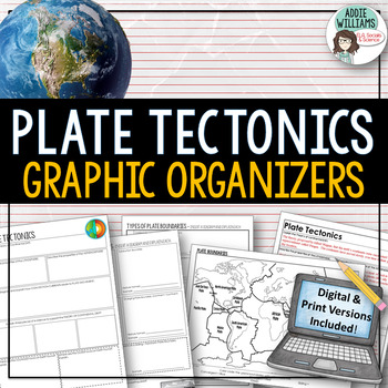
Plate Tectonics / Boundaries Graphic Organizers - PRINT & DIGITAL
Teaching about plate boundaries and plate tectonics? -These graphic organizers are a great way for students to review different plate boundaries, learn about the Theory of Plate tectonics and organize their notes /ideas. Excellent for review or for group work. Includes 3 graphic organizers to mix and match, a Review/Challenge Activity Summary Activity, Mapping Worksheet, and Extension / Lesson Ideas. Includes answer keys for the graphic organizers.This resource also includes a link to a digita
Subjects:
Grades:
7th - 10th, Adult Education
Types:
Also included in: Plate Tectonics / Earthquakes / Volcanoes Organizers | PRINT & DIGITAL
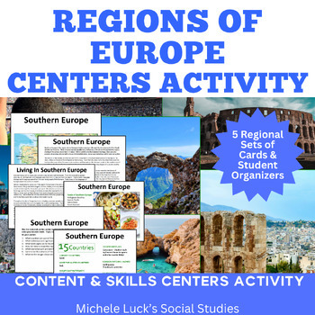
Regions of Europe Centers Activity for European Geography or Culture Study
Introduce your students to the regions of Europe with this easy to prep Centers or Stations Activity. At each regional center, students will read geographic information on the region, view maps and discover physical features and statistics, view data from the region on cultural and human characteristics, and read current articles on the regions of Europe (using internet links provided in teacher directions). Included:Reading Cards on each RegionImage Cards on each RegionMap Cards on each Regi
Subjects:
Grades:
6th - 10th, Higher Education
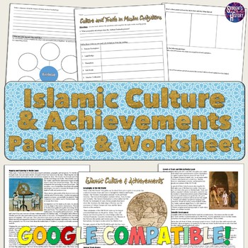
Islam Reading Packet: Achievements, Cities, and Culture
This reading packet on Islam is a thorough overview of the cultural achievements, trade routes, and cities of Islamic Civilizations!The packet includes a 5-page reading and 4-page reading guide worksheet for students to complete. All of the following topics are discussed in the reading: ⭐ Geography and the Old World⭐ The Silk Road and trade⭐ The Qur'an and 5 Pillars of Islam⭐ Achievements in astronomy, algebra, and mapping⭐ The voyages of Zheng He⭐ Baghdad, Timbuktu, and Muslim cities⭐ Caravans
Subjects:
Grades:
8th - 11th
Mulan Movie Guide Questions with KEY
Allow your students to watch Disney's Mulan while experiencing culture and answering meaningful questions that all pertain to accurate cultural depictions. Through these questions, students are engaged in retaining factual information as well as opinion and critical thinking based questions. Students will be asked questions on topics such as: The nomadic group of conquers in the movie--the Huns (or Mongols) The Great Wall of ChinaConfucianism & filial piety (respect and honor to parents and
Subjects:
Grades:
5th - 11th
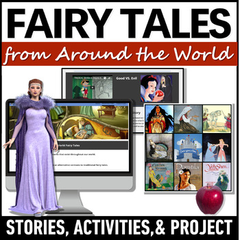
Fairy Tales Around the World - Cinderella Fairytale Variants - World Folktales
Use these enchanting fairy tales from around the world and world folktales to explore other cultures! Students will analyze Cinderella around the world stories as fairytale genre examples and examples of multicultural folk tales. This teaching unit identifies the elements of a fairy tale, includes activities on inferring the theme or moral of the story, and analyzes how a world fairytale reflect a country's unique culture.The multicultural stories chosen for this unit reveal aspects of life with
Grades:
7th - 10th
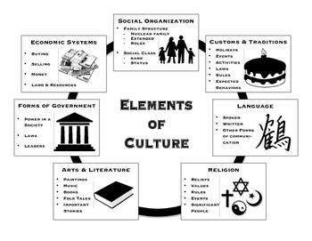
Elements of Culture - Handouts and Graphic Organizers
Included are handouts for teaching the seven elements of culture. The first handout is a basic outline format describing each of the seven elements. Handout two is a set of key questions to ask about a culture that address each element. There are also seven graphic organizers included, one for each element, that are meant to provide students space to write about a particular culture. I have added an additional graphic organizer meant to allow students to summarize the seven elements.
Suggesti
Subjects:
Grades:
5th - 10th
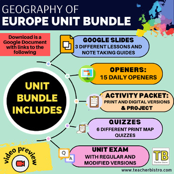
BUNDLE: European World Geography
DOWNLOAD "BONUS FILE" in order to access the unit project and have easy access to all of the lessons. UNIT: Europe SUBJECT: World Geography UPDATED: May 2024Europe in a Bundle! This Bundle is for your Google Drive, great for digital and print use!GOOGLE SLIDES LESSONSSociety and Culture of EuropePolitics and Economics of EuropeEurope's Physical GeographyNOTE-TAKING GUIDESEach Google Slides presentation comes with different notetaking guides:PrintDigitalEditableAnswer Key (completed guide)15 open
Grades:
7th - 10th
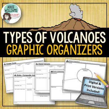
Types of Volcanoes - Graphic Organizers - Digital & Print Versions
Volcanoes - Easy to use graphic organizers that students fill out about each of the four main types of volcanoes - Cinder Cone, Shield Volcano, Strata / Composite Volcano, and a Lava Dome Volcano. A great way for students to organize their notes and ideas. The graphic organizers can be used for library research, notes during class or notes during a video. It allows students to add diagrams and easily access the information. Answer keys included!Also include two graphic organizers for studen
Subjects:
Grades:
7th - 10th
Types:
Also included in: Plate Tectonics / Earthquakes / Volcanoes Organizers | PRINT & DIGITAL
Before the Flood Movie Questions: Climate Change and Global Warming Documentary
Before the Flood is an important documentary on Climate Change presented by National Geographic and starring Leonardo DiCaprio. Climate Change is quickly becoming one of the most important issues of our time. It's our job as educators to make sure students are aware of the impact that climate change might have on their futures. Before the Flood is the perfect way to introduce the topic of climate change and environmentalism in your classroom!This resource contains four pages of questions about t
Subjects:
Grades:
9th - 12th
Also included in: Climate Change and Environmental Sustainability Bundle for High School
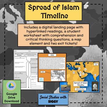
Spread of Islam Timeline Activity
Students will learn about the spread of Islam in both a chronological and geographical approach. Using a “landing page,” students will click on various important dates throughout the creation of Islam and the Islamic Empire, each with a reading. Not only will students answer comprehension questions about each reading, they will also answer critical thinking questions related to “thinking like a historian” skills and complete a map, helping to create dynamic context for this lesson. Also included
Subjects:
Grades:
7th - 10th
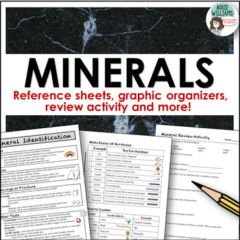
Minerals - Properties and Identifcation Lab / Activity
Minerals - Reference Sheets and More for working on a mineral unit! This pack includes reference sheets about how to identify minerals, two handy charts to help students identify luster and figure out a mineral's hardness, a mineral review activity, two-page graphic organizer for minerals, and a mineral chart if you were to do a lab activity. Answer keys are included for the review activity and graphic organizers.
Subjects:
Grades:
7th - 10th
Also included in: Rocks and Minerals - Types of Rocks, Rock Cycle, Minerals and More!
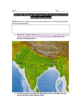
Impact of Geography on India and South Asia Worksheet
In this 5 page packet, students label a map of the Indian subcontinent, complete a guided reading with graphic organizer, watch a 3 minute Discovery video clip, analyze images, and answer analytical summative writing questions in order to determine the way geography has impacted the development of the Indian subcontinent.Students learn the locations of modern countries in the area as well as the placement and significance of physical features such as the Ganges and Indus Rivers, Himalayas and Hi
Subjects:
Grades:
7th - 12th
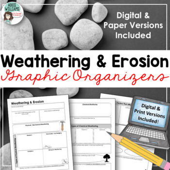
Weathering & Erosion Graphic Organizers - Digital & Print
WEATHERING and EROSION GRAPHIC ORGANIZERS - A easy to follow set of graphic organizers complete with symbols to help students remember key ideas. Specifically geared to reviewing the processes of physical and chemical weathering. Also introduces the concept of erosion. Includes both paper and DIGITAL / GOOGLE COMPATIBLE version.My students use these for review or to fill in while taking notes. Can also be used as a webquest activity as a way to introduce the topic to students. INCLUDES:- 3 pag
Subjects:
Grades:
7th - 10th
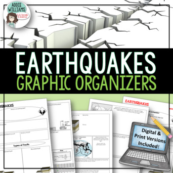
Earthquakes / Faulting Graphic Organizer | Print & Digital
Earthquakes / Faulting Graphic Organizer - A great way for students to organize information on earthquakes and faulting. Instead of asking students to take traditional notes, they fill in the graphic organizer - either as review or instead of standard question and answer in a textbook. Excellent for review or group work. Includes 4 pages of organizers and all answer keys!Also includes a link to a Google™ Slides version of the organizers so students can add text, images, color and more while wo
Subjects:
Grades:
8th - 10th, Higher Education, Adult Education
Also included in: Plate Tectonics / Earthquakes / Volcanoes Organizers | PRINT & DIGITAL
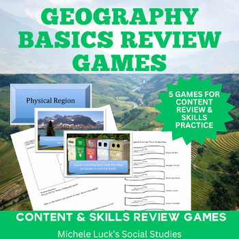
Geography Basics Review Games Centers Activities & Wrap-up
Are you looking for a fun and engaging way to introduce or review the basic geographic ideas? This 5 game set will review the 5 Themes of Geography and help to reinforce Geographic skills like mapping and identifying longitude and latitude. This is a complete set of 5 games or activities to review the basic ideas of geography.Covers: 5 Themes of Geography Longitude & LatitudeMappingClimate ZonesAnd more! Includes: Pin the Tail on the Longitude & Latitude GameFive Themes of Geography Mat
Grades:
5th - 10th
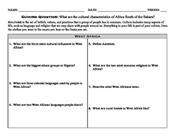
Cultural Characteristics of sub-Saharan Africa
Students will be able to answer the guiding question: What are the cultural characteristics of Africa South of the Sahara?
Included in this product are four one-page readings about the cultures of West, East, Central and Southern Africa. Along with each reading is a graphic organizer with eight comprehension questions, guiding students to describe the people, language, religion, art, celebrations, clothing, families and homes of the people within the region.
Meets Social Studies standard 8.3.
Subjects:
Grades:
5th - 10th
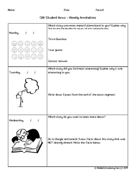
CNN Student News Worksheet - (CNN10) Weekly graphic organizer
A weekly, Monday-Friday, note catcher for CNN10 Student News. Each day, different questions prompt the students to capture information and think critically. This graphic organizer is student friendly and allows students to do their own research on current events happening around the world. There is a connection to geography as a few questions prompt for identification of locations.
Grades:
4th - 12th
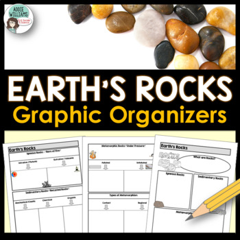
Rock Types Graphic Organizer - Igneous, Sedimentary and Metamorphic
Teaching the different types of rocks? These graphic organizers are a great way for students to learn the differences between igneous, sedimentary, and metamorphic rocks as well as their sub-categories. This resource includes 4 pages of graphic organizers that can be used with notes or while working through a PowerPoint, as review, or for group work. This resource also includes a set of review questions and answer keys.Covers Igneous (intrusive/extrusive), Sedimentary (mechanical/clastic, organ
Subjects:
Grades:
7th - 10th, Adult Education
Also included in: Rocks and Minerals - Types of Rocks, Rock Cycle, Minerals and More!
Minerals Research Poster
This 11 x 17" graphic organizer helps visual learners with the research of a mineral in order to report with relevant and important details about minerals. This generates high interest because the students choose which mineral they want to report on. If students want to go on and complete more they can so they have a variety of minerals. Advanced students can create a Venn Diagram comparing the minerals they reported on.
Subjects:
Grades:
4th - 11th
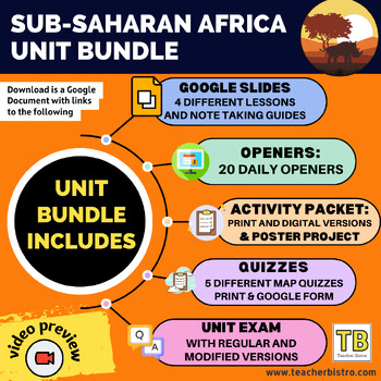
Sub-Saharan Africa Unit Bundle
UNIT: Sub-Saharan AfricaUPDATED: January 2024✅ East Africa: Burundi, Comoros, Djibouti, Eritrea, Ethiopia, Kenya, Madagascar, Rwanda, Seychelles, Somalia, Tanzania, Uganda✅West Africa: Benin, Burkina Faso, Cape Verde, Cote d'Ivoire, The Gambia, Ghana, Guinea, Guinea-Bissau, Liberia, Senegal, Sierra Leone, Togo✅ Central Africa: Cameroon, Central African Republic, Democratic Republic of Congo, Equatorial Guinea, Gabon, Nigeria, Republic of Congo, Sao Tome and Principe✅ Southern Africa: Angola, Bot
Subjects:
Grades:
7th - 10th
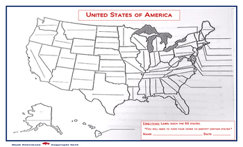
United States Map: Fill in the Blank
A map of the United States, with blanks for each of the 50 states to be filled in. Due to the size of the states and user friendly format, the print out should be on a legal sized paper (8.5 x 14)
A larger version is also available in store. (11 x 14)
Grades:
4th - 12th, Higher Education, Adult Education
Showing 1-24 of 491 results


