167 results
Free 8th grade geography posters
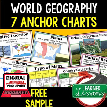
Geography Anchor Charts Sampler Free, World Geography Posters
Geography Free Anchor Charts (Great as Bellringers, Word Walls, and Concept Boards)(Great as Bellringers, Word Walls, and Concept Boards), Mapping Skills Posters, Geography Review Pages, Digital Activity via Google Classroom This bundle will take your through the entire Geography curriculum. It will include all components of Geography. This is perfect for traveling around the world in style. Sign up for email updates and follow me on TPT for updates.Anchor charts are great for representing
Grades:
6th - 12th
Types:
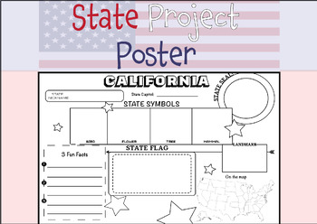
50 STATE RESEARCH PROJECT
These State Report poster templates are a fantastic resource that includes over 50 eye-catching posters to showcase your research project on any of the fifty United States. They are perfect for use throughout the year and are an excellent complement to social studies lessons, helping students to better organize their research. These state posters are not only useful for helping students to organize their research, but they also make great bulletin boards or hallway displays. Your students will b
Subjects:
Grades:
3rd - 12th, Higher Education, Adult Education
Types:
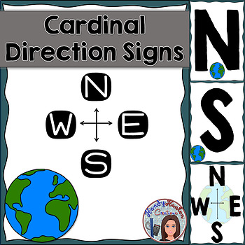
Cardinal Directions Geography Signs Blue
Hang cardinal direction and compass rose signs in your classroom to visually help your students with mapping concepts.
Product includes:
• North
• South
• East
• West
• Compass Rose with North, South, East, and West
• Compass Rose with N, S, E, and W
You might also be interested in:
The United States and Capitals Geography Review Activities and Assessment BundleThe United States and Capitals Geography Northeast Region Freebie SampleThe United States and Capitals Geography Review Activities
Subjects:
Grades:
K - 12th
Types:
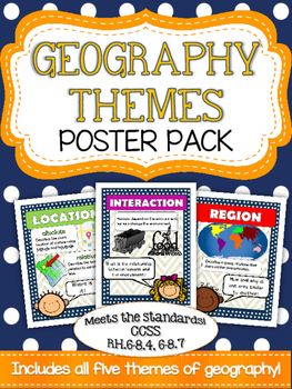
Five Themes of Geography Poster Pack
Mrs. K in the Middle brings you yet another quality product targeting essential vocabulary! Anchor your geography unit with these five basic themes posters! Bright and colorful graphics highlight place, location, region, movement and interaction. Use these posters to introduce a topic and to reinforce as you build your unit!
Subjects:
Grades:
5th - 8th
Types:
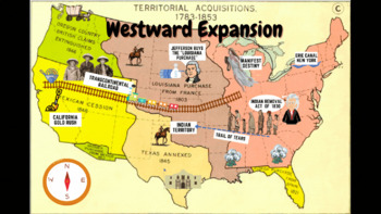
Westward Expansion Visualizer GIF
GIF (moving animated picture) showcasing major topics during the Westward Expansion unit. Based on NYS Social Studies standards, topics in GIF include Gold Rush, Indian Removal Act, Trail of Tears, Transcontinental Railroad, Louisiana Purchase, Erie Canal, and Manifest Destiny.Totally FREE for YOU!
Grades:
5th - 12th
Types:
CCSS:
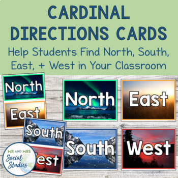
Cardinal Directions Cards | North South East West
This FREE cardinal directions printable is a must for your social studies classroom! The presence of these North, South, East, and West cards in your classroom helps students apply what they are learning about cardinal directions and helps them get their bearings.With three different designs and three different sizes included, you can choose the option that is best for you and place those North, South, East, and West cards up on your walls! Simply print and attach to your walls!The 3 designs inc
Grades:
6th - 9th
Types:
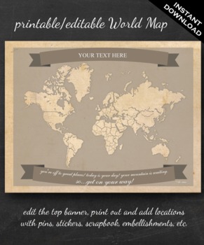
World Map Printable - Printable Editable Map Instant Download - Geography
The perfect printable for:
- geography lessons,
- plotting character's journeys in books,
- marking the regions you learn about throughout the year,
- tracking family history,
- practicing country and continent memorization,
- reviewing current events,
- and more!
ABOUT THE MAP
Printable on US Letter size paper (8.5"x11" or 21.59cm x 27.94cm) you'll need a pdf reader to open. Opened with Adobe, you'll be able to edit the top banner with your name, child's name, year, book title, "Our Advent
Grades:
3rd - 12th, Higher Education
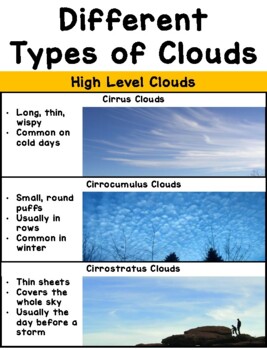
Types of Clouds Poster
Printable poster perfect for aspiring meteorologists! Print, assemble, and post on near your windows to help students identify (and characterize) the different types of clouds in our sky. I'd recommend printing it out on card stock paper with laminating for extra durability! The full size poster measures about 30" in length, but it can be made smaller by adjusting the printing size on your printer options. Works well as a personal cloud chart when printed 2 pages per sheet, then assembled in the
Subjects:
Grades:
PreK - 8th
Types:
NGSS:
K-ESS2-1
, 3-ESS2-1
, K-ESS3-2
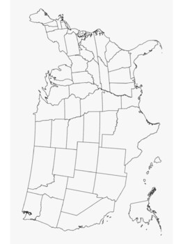
3 blank maps, printable maps of U.S.A. and North America
Blank map poster of the U.S.A. and 50 statesMap of North America with major citiesBlank map poster of 13 colonies for proclamation of 1763 Print and Laminate Maps for reusable map work in your social studies classroom
Grades:
5th - 12th
Compass Directions, North East South West - ZisforZebra Freebie
Another freebie! Get your compass directions to hang on the wall to help students know which way is north, south, east, and west. Note real compass is not included.
This is a zip file with 4 transparent pngs for you to print out and use in your classroom.
Grades:
PreK - 8th
Types:
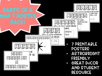
Free! Parts of a Map Posters
These posters are a great resource for any grade level when learning about maps. These maps use the acronym "TODALS" as a quick way to remember the parts of a map: Title, Orientation, Date, Author, Legend, and Scale. These posters are AstroBright friendly and really brighten up a room!
Grades:
K - 12th
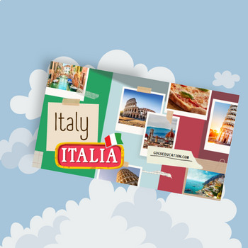
Italy - a Country Study Presentation
This Country Presentation can be used for a very basic country study in lower elementary grades! Each page contains a basic fact and related illustration! You may NOT modify or edit in any way.You may NOT resell or distribute in any way.You CAN share it if you indicate the credits.You MAY purchase an additional license for each colleague who wishes to share.
Subjects:
Grades:
PreK - 12th, Higher Education, Adult Education
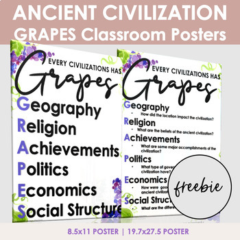
Ancient Civilizations Grapes Posters
The GRAPES ancient civilization posters are perfect for a world history classroom.GRAPES is an easy way for students to remember information about ancient civilizations.GRAPES is an acronym for:GeographyReligionAchievementsPoliticsEconomicsSocial StructurePosters come in two sizes: 8.5x11: Use this version for notebook posters19.7x27.5: Use this version to print a large posterNow Includes 2 new designs (18X24)Customer Tips:How to get TPT credit to use on future purchases:• Please go to your My
Grades:
6th - 12th
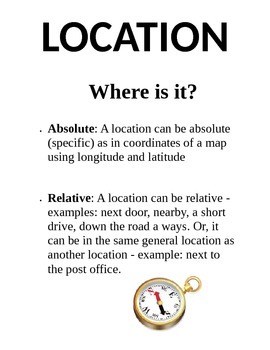
5 Themes of Geography Poster Pack
This product includes five separate posters about the 5 Themes of Geography (Location, Place, Region, Movement, and Human-Environment Interaction) Each poster has a title, definition, and picture for students to use as a resource. Print them on 8.5"x11" paper or cardstock and laminate for yearly use.
Grades:
3rd - 8th
Types:
Cardinal Direction Posters Freebie
Need posters for the 4 cardinal directions? This freebie is for you!
Use them as references in your classroom, or use them for a game. It's up to you!
Thanks,
Sarah Moellering
**Updated to include intermediate directions
Subjects:
Grades:
PreK - 12th, Higher Education, Adult Education
Geography Bulletin Board Set 2
7 Geography Bulletin Board Posters
Do you need to make a quick bulletin board to review geography? Or are you looking for signs for a station activity? Save yourself some time and download this resource! You will get 8 full page posters and 8 half-page posters.
I hope you find this resource helpful. Feedback is always appreciated, it helps me create new resources and make changes to existing products.
Let’s Stay Connected!
I would love to be able to share with you new products, store dis
Grades:
PreK - 8th
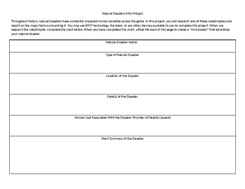
Natural Disasters Mini Project
This short project can typically be completed in one or two days. In it, students research a major natural disaster and complete an informational chart. Once they have completed the chart, they create a "mini-poster" on the back that describes their natural disaster.
Grades:
4th - 12th, Higher Education, Adult Education
Types:
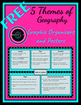
FREE 5 Themes of Geography - Graphic Organizer Poster and Worksheet - 2 versions
This resource includes one colorful version as well as a black-and-white version which is more ink-friendly. Included:1 colorful graphic organizer poster to display for reference1 colorful graphic organizer worksheet to use for country research projectBoth of the above items in a black-and-white formatI hope you enjoy this free item! Please follow my store as I'll frequently be adding a variety of great resources in various subjects!
Subjects:
Grades:
5th - 8th
Types:
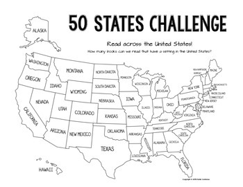
50 States Read Across the USA Reading Challenge
Motivate your students to read a variety of novels with this USA Reading Challenge!
There are two versions of this reading challenge:
(1) Individual Student Recording Sheet
* copy double-sided and keep in a safe place for the quarter, semester, year, etc.
(2) Classroom Recording Sheet
* print a large poster version and collaboratively try to read a book set in each of the 50 states
* for upper grades, a great place to start looking for those hard to find states is epicreads.com
Subjects:
Grades:
3rd - 12th
Types:
FREE - U.S. States | State Report | State Research Project | "Silhouettes"
FREE - U.S. States - State Report - State Research Project | "Silhouettes" (K-12).
In this free state report and research project sample: "State Silhouettes" (PDF). Use this printable to build interest, learn states, or decorate projects.
+ + + + + + +
State Report & State Research Project Silhouettes is part of the larger 900 USA State Images, which includes the following:
• 900 U.S. state images.
• 65 USA Flags.
• 50 U.S. State Maps.
• 28 USA Maps.
• 20 White House images.
• State Re
Subjects:
Grades:
K - 8th
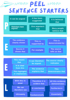
PEEL Paragraph Sentence Starters
Are you teaching PEEL in your classroom? Do your students struggle to get things started? This is the poster for you! It will guide students on how to begin each sentence, the point, the evidence, the explanation and the link. Great colours and accessible language!
Subjects:
Grades:
5th - 12th, Higher Education, Staff
Types:
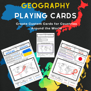
Geography Playing Cards or Country Poster Infographic
Teach students about countries in a fun, engaging way with these customizable geographic playing cards.Each customizable card features key info about a nation in an organized format. Students create their own cards in either infographic-sized posters or standard playing card dimensions. You can either assign the countries at random or let students choose their country.Students will be researching things about a specific country, including things like population, area, life expectancy, GDP, biome
Grades:
7th - 10th
Types:
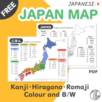
FREE Japan Map in Japanese and English Alphabet for Language Learners and More
No more confusion and guessing about Japanese prefectures' names and location!Give a clear and understanding map to your students and this will be handy to look up anytime as needed.■ Level / AgeElementary ~ / G7 and up ■ Learners will be able tofind 8 regions and 47 prefectures' names and locations in Japan ■ IncludesJapan maps in 3 versions both colour and B/W (total 6 pages)Kanji with furiganaHiraganaRomaji (English spelling) ■ How to useYou can use this in different waysGive one each to your
Subjects:
Grades:
7th - 12th, Higher Education, Adult Education
Types:
Showing 1-24 of 167 results


