1,126 results
8th grade geography centers by TpT sellers for TpT sellers
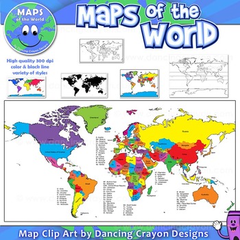
Maps of the World: Clip Art World Maps
Maps of the World: Clip Art World Maps
High quality color and black and white maps of the world.
This clipart map set contains the following commercial use graphics:
- Color maps of the world
- Black and white line art maps of the world
- Maps of the world with lines of latitude and without lines of latitude
- Maps of the world with larger countries labelled (color and black and white)
- Silhouette maps of the world
- A map of the world showing seven continents in color and black and white:
Grades:
3rd - 12th, Higher Education, Adult Education, Staff
Also included in: Maps of the World Clip Art - MEGA-BUNDLE
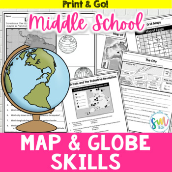
Map and Globe Skills Worksheets (6th, 7th, 8th Grades)
Your students will love reviewing map and globe skills with this engaging, no prep worksheet packet! It's great to use during the back-to-school weeks. Plus, it’s so easy to use that you can even leave it for sub plans or homework packets!Resource Includes: 12 worksheets & answer keysCardinal and intermediate directionslatitude and longitudegrid maps: reading & creatingphysical maps: reading & drawing conclusionsgraphic scales: to determine distancesmap keys: to acquire informationAn
Subjects:
Grades:
5th - 8th
GEOGRAPHY BASICS Study Unit with Essential Lessons
For direct instruction or learning centers, this 29 page unit (see Preview), which includes DETAILED directions for teacher guided lessons and high-quality, attractive handouts for students, is ideal for anyone teaching or reviewing -- WORLD GEOGRAPHY basics and terminology;- continents and oceans, - equator, hemispheres, and cardinal directions,- and now capital city definition and worksheet of capitals of most populous countries.It has classroom tested handouts that include maps, a word search
Grades:
4th - 10th
Types:
CCSS:
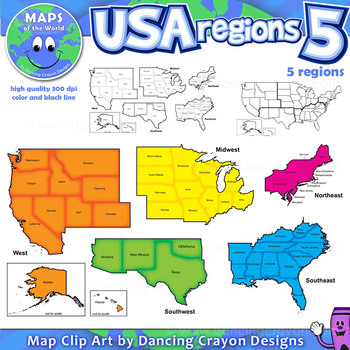
Regions of the USA: Five Regions - Map Clip Art
Regions of the USA: Five Regions - Map Clip Art
.............................................................................................
Please check the regions in this set before purchase. We offer a choice of THREE different US Region Map Sets:
USA divided into FOUR regions / NINE divisions (as set out by the United States Census Bureau)
USA divided into FOUR regions / TEN divisions (as taught in some states)
Please read on for more information about THIS region set:
............
Grades:
3rd - 12th, Staff
Also included in: Maps of the World Clip Art - MEGA-BUNDLE
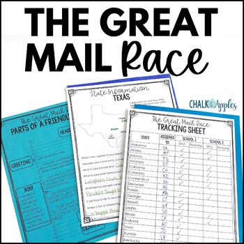
Friendly Letter Writing Paper & Template - Great Mail Race How to Write a Letter
The Great Mail Race is an excellent way for students to learn letter writing, geography, research skills, data collection, and graphing skills, and much more! Students send letters and questionnaires to schools in all 50 states. You can use the responses any way you want - mark the schools on a map, graph data from their surveys, etc. This packet has everything you need but the stamps and envelopes! Includes:Teacher instructions for the projectEditable introductory letter Class questionnaireStud
Subjects:
Grades:
2nd - 8th
Maps of the World Clip Art - MEGA-BUNDLE
Maps of the World - MEGA-BUNDLEMEGA VALUE: Comprehensive collection of clip art maps and countries of the world - 380 images!COMPREHENSIVE:Hundreds of graphics spanning numerous countries and regions of the world. See below for the list of countries included. CONVENIENT and PRACTICAL:All the maps and world graphics you need for making teaching resources, worksheets, school projects, and more - all at your fingertips when you need them. Both color and black and white resources for all your dif
Grades:
3rd - 12th, Staff
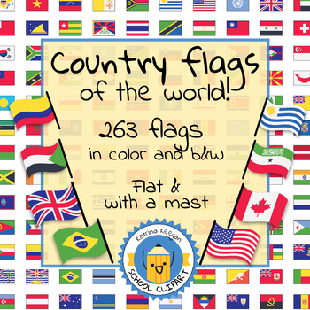
Country flags of the world: 263 Country flags - clip art bundle (1052 clips!)
Country flags of the world: 263 Country flags. HUGE clip art BUNDLE!
This clip art contains 263 flags, in 2 forms (flat and with mast) in color and black & white line art.
Contains all the flags of the countries of the world : 195 Countries.
Look at the complete list of flags by downloading the preview
A total of 1052 clips!
Included:
263 color flag (flat) clip art flag set- PNG format
263 B&W flag (flat) clip art set- PNG format
263 color flag (with mast) clip art set- PNG format
Grades:
PreK - 12th, Higher Education, Adult Education
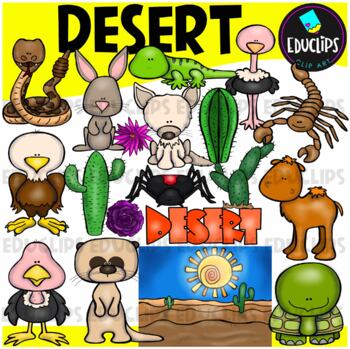
Desert Clip Art Set {Educlips Clipart}
A collection of desert and desert animal images. The graphics in this pack are: black widow spider, cactus plants, camel, desert background, desert rose, eagle, tortoise, fennec fox, gekko, jackrabbit, meerkat, ostrich, rattlesnake, scorpion, vulture, word art.38 images (19 in color and the same 19 in B&W)Images saved at 300dpi in PNG files.For personal and commercial use..Download preview for TOU.©Educlips LLC 2014Follow Educlips on FacebookFollow Educlips on InstagramKeywords: desert, biom
Grades:
PreK - 12th, Staff
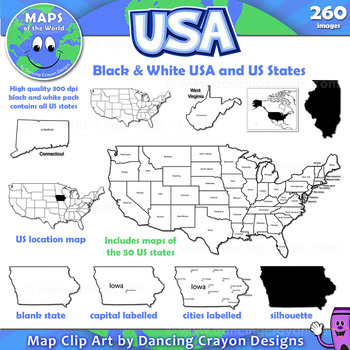
Maps of the USA and US States: Black and White Bundle
A practical set containing our black and white USA maps and US States maps.
260 images of the USA and individual US states in black and white line art. Perfect for creating worksheets and printables.
If you are looking for both color and black and white please see our USA maps bundle:
Click here for USA Map Bundle.
This clipart map set contains the following commercial use graphics:
- Black and white line art maps of all 50 US states in the following styles:
- Blank
- capi
Grades:
3rd - 12th, Staff
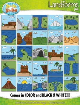
Landforms Clipart {Zip-A-Dee-Doo-Dah Designs}
Enhance your geography or science resources with these Landform clip art graphics. The images would look great on posters around your classroom. You could also use them to create task cards or a matching activity. Students would enjoy coloring the black and white versions as well!
The set includes a total of 50 images (25 Color and 25 B&W). Please see all preview images and list below for all graphics included in this set. The images are high resolution (300 DPI) which means high quality pr
Grades:
PreK - 8th
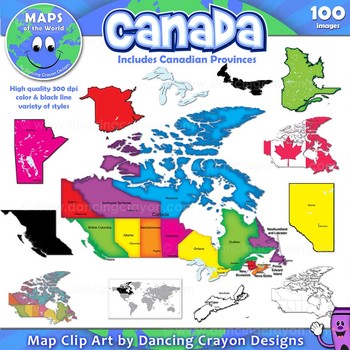
Canada: Clip Art Maps of Canada
Canada: Clip Art Maps
Map Collection: Canada
This is a large clip art set containing maps of Canada along with individual map clip art of each individual Canadian province.
This clipart map set contains the following commercial use graphics:
- Color maps of Canada and each Canadian province
- Labelled maps and blank maps (Provinces labelled with capital cities.)
- Black and white line art maps of Canada and each Canadian province
- Silhouette of the country of Canada and each Can
Grades:
3rd - 12th, Staff
Also included in: Maps of the World Clip Art - MEGA-BUNDLE
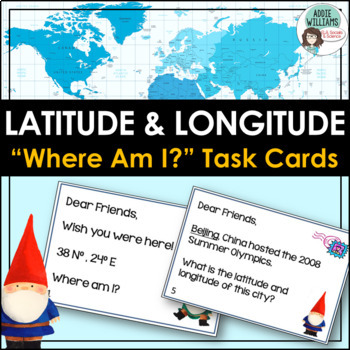
Latitude and Longitude Task Cards - World, US, and Canadian Capital Cities
LATITUDE & LONGITUDE - Three sets of task cards to help students practice finding locations with a set of latitude and longitude coordinates. Using gnomes as a theme (thinking of gnomes who have traveled the world and sent home notes) each task card is written like a postcard. Set 1 - students are given a set of coordinates and must locate the world capital city. (12 cards)Set 2 - students are given a world capital city and must figure out the latitude and longitude of the city. (12 card
Subjects:
Grades:
6th - 9th
Types:
Also included in: Latitude and Longitude Bundle - Activities, Task Cards, & Posters
Getting To Know You Through Geography: A Beginning of The Year Carousel Activity
Geography teachers, are you always looking for a great Getting To Know You back-to-school geography activity for the beginning of the year for all ages? This activity will encourage your students to become familiar with their classmates as they work in groups and rotate through various stations. What a great introduction to basic geography skills such as graphs, charts, maps, and the concept of culture. It truly teaches geography skills all the while allowing students to collaborate, have fun, a
Grades:
5th - 12th
Types:
Also included in: Bundle for T. Wilson (25 Geography Lessons)
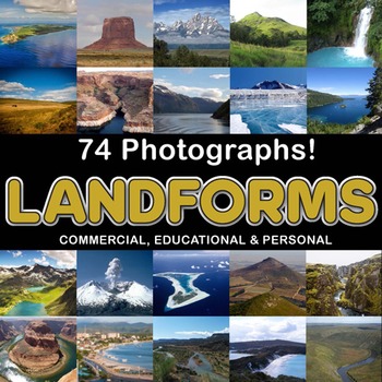
Photos Photographs LANDFORMS clip art
Photographs - Landforms. For sale are 74 beautiful, full color, high quality 300 dpi photographs for commercial, personal and educational use. No credit required to use these images, but it is always appreciated if you do! Why use clip art when you can use images of real objects? Every single image is available for you to use commercially in every one of your products. Buy with confidence! The thumbnail images are watermarked /cropped in the preview / thumbnails but the purchased photographs wil
Subjects:
Grades:
PreK - 12th, Higher Education, Adult Education
Also included in: Complete Photo Bundle
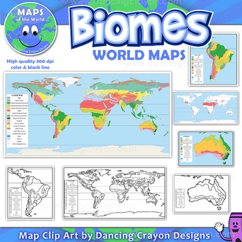
Biomes - Maps of the World and Continents Clip Art
Biomes World MapsHigh quality color and black and white maps of biome regions of the world. This clipart map set contains the following commercial use graphics:- Color maps of the world biome areas- Black and white line art maps of the world biome areas to color (with blank legend / key to also color)- Maps with and without the equator and geographic lines- Maps of continents showing biome regions- Maps of the world showing individual biome regions (for example: maps showing where the worlds tem
Grades:
3rd - 12th, Higher Education, Adult Education, Staff
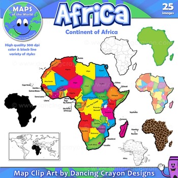
Maps of Africa: Clip Art Map Set
Maps of Africa: Clip Art Map Set
Map Collection: Africa
A colorful clip art set of maps of the African continent.
This clipart map set contains the following commercial use graphics:
- Color maps of Africa (continent)
- Black and white line art maps of Africa (continent)
- Labelled maps and blank maps
- Silhouette of the continent of Africa
- Map of the world with Africa highlighted
- Africa shapes in a variety of styles including giraffe, zebra, and tiger prints.
See pre
Grades:
3rd - 12th, Staff
Also included in: Maps of the World Clip Art - MEGA-BUNDLE
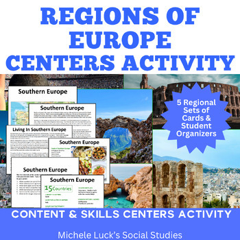
Regions of Europe Centers Activity for European Geography or Culture Study
Introduce your students to the regions of Europe with this easy to prep Centers or Stations Activity. At each regional center, students will read geographic information on the region, view maps and discover physical features and statistics, view data from the region on cultural and human characteristics, and read current articles on the regions of Europe (using internet links provided in teacher directions). Included:Reading Cards on each RegionImage Cards on each RegionMap Cards on each Regi
Subjects:
Grades:
6th - 10th, Higher Education
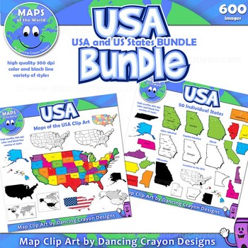
Maps of the USA and US States - Clip Art BUNDLE
A huge collection of clip art maps of the USA and the 50 US states! 600 images!This set combines our maps of the USA with our maps of US states clip art sets in a money-saving value pack.Includes a variety of styles of maps from bright and colorful to black and white line art. Both labelled and blank. Perfect for creating projects and worksheets.This clipart map set contains the following commercial use graphics:- Black and white line art maps of the United States of America- Colorful c
Grades:
3rd - 12th, Staff
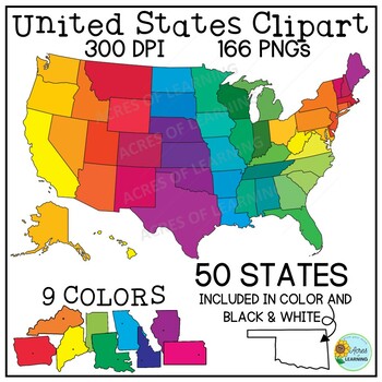
United States Map Clipart | States and Capitals | US Regions
Make creating state reports or activities that help students memorize the states and capitals easy with this set of brightly colored United States clipart! You get a total of 166 state shapes and maps of the U.S. The images can be used in so many ways! Create flashcards, map quizzes, states and capital worksheets. Use to create digital resources such as Boom Cards or Google Slide state reports. Perfect for social studies classrooms or for teaching US geography. All images come in 300 DPI PNG f
Grades:
3rd - 8th, Higher Education
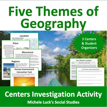
Five Themes of Geography Centers Investigation Activity
Investigate the Five Themes of Geography with this interactive centers activity. Each center invites students to further investigate one of the themes (Location, Place, Movement, Regions, Human-Environment Interaction) through mapping, reading, and skills practice. All materials (except atlases) are provided (print on card stock and laminate for repeated use!). Resources include recent articles on various world events, maps, charts and other content-filled sources and require students to use
Grades:
6th - 10th, Higher Education
Types:
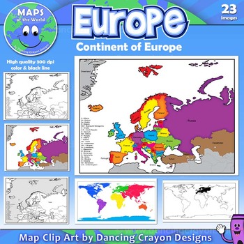
Maps of Europe: Clip Art Map Set
Maps of Europe: Clip Art Map Set
Map Collection: Europe
A colorful map clip art set of the region / continent of Europe.
This clipart map set contains the following commercial use graphics:
- Color maps of Europe in 3 different color styles: bright, pastel, and old style colors
- Black and white line art maps of Europe
- Maps of Europe with countries labelled and without (blank)
- Map of the world with Europe highlighted
Please download the preview to view the complete contents.
H
Grades:
3rd - 12th, Staff
Also included in: Maps of the World Clip Art - MEGA-BUNDLE
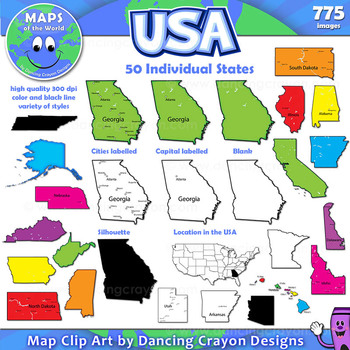
Maps of US States: Clip Art Map Set
Maps of US States: Color and Black and White States of the USAMap Collection: US StatesA huge colorful collection of clip art maps of the 50 states of the USA! 775 images!The set includes both color and black and white line art. Both labelled and blank. Perfect for creating projects and worksheets.This clipart map set contains the following commercial use graphics:- Black and white line art maps of each of the 50 states of America- Colorful clip art maps of the 50 US states- Map
Grades:
3rd - 12th, Staff
Also included in: Maps of the World Clip Art - MEGA-BUNDLE
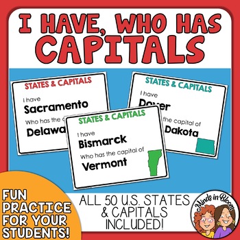
State Capitals I Have, Who Has Game - Engaging Classroom Game for U.S. Capitals
Use this I Have, Who Has game to practice matching U.S. states with their capitals!To play, distribute the cards more or less evenly to your students. The order does not matter as long as the cards have been mixed up. Then have a student read the bottom half of his or her card. The student that has the answer to the question (the name of the capital) then reads his or her entire card. Continue playing until all the cards have been read. If played correctly, the last answer will be the first half
Subjects:
Grades:
3rd - 9th
Types:

Oil in the Middle East Response Group Activity - Geography
In this response group activity, students learn about the benefits and costs of the Oil in the Middle East. A number of implementation ideas are provided along with the 23 page set to allow students to investigate 5 topics.Content Topics CoveredGeography of the Middle EastThe Processing of OilThe Human ImpactThe Export BusinessWorld ConnectionsAbout this ResourceAll materials are provided and include reading cards for each center, primary sources such as images, charts, and graphs to analyze, a
Grades:
6th - 12th
Types:
Also included in: Modern World History Interactive Lessons Bundle Walking Tours & More
Showing 1-24 of 1,126 results


