148 results
Elementary geography outline pdfs
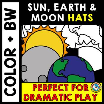
SOLAR & LUNAR ECLIPSE 2024 ACTIVITY KINDERGARTEN HATS CRAFT SUN MOON EARTH CROWN
SOLAR AND LUNAR ECLIPSE CRAFTS: HAT CRAFTS OF THE SUN, EARTH AND MOON IN COLOR AND BLACK AND WHITEAre you looking for fun eclipse activities to engage young learners and help them better understand what goes on during an eclipse? This crafts pack is a must have! It contains three hat templates of the sun, Earth and moon, both in color and bw. These hats/ headbands could also be used throughout the rest of the year for other science lessons!Kids will love making and wearing these hats for ecli
Subjects:
Grades:
PreK - 2nd
Types:
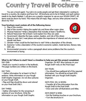
Country Travel Brochure Project
This is a fun project activity where students create a travel brochure for a chosen (or teacher-assigned) country. This project works well because the students know exactly what information that they need and where to put it on the brochure. It makes researching so much easier for everyone! There are directions, a brainstorm sheet, and a rough draft graphic organizer. I like the students to complete the final draft on large white construction paper, but the rough draft graphic organizer could be
Grades:
4th - 12th
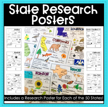
State Research Report Posters - A Template for ALL 50 States!
Get your students excited about learning the 50 states with these amazing report posters! These state research report posters provide your students with an easy to use graphic organizer while they conduct their state research! They can stand alone, be used in conjunction with a larger scale report or project, or used as a decorative display around the classroom! The options are endless!Materials Included:Blank State Research Posters for ALL 50 states
Subjects:
Grades:
4th - 8th
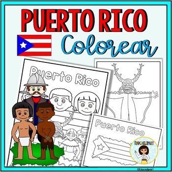
Puerto Rico
This is a .pdf file with 12 coloring pages. It include all pages shown on the preview. The images are:1. Puerto Rico cover coloring page2. Flag - La bandera3. Map - el mapa de Puerto Rico4. Flag in map form - bandera con la forma del mapa5. Race - nuestra raza6. Old San Juan "La garita"7. National flower "La maga" - Flor "La maga"8. Music instruments - instrumentos musicales9. National dance "La plena" dancers10. National dance " La bomba" dancers11. "Vejigante"12. "Vejigante" mask - máscara ve
Subjects:
Grades:
PreK - 12th
Also included in: Puerto Rico Coloring Bundle
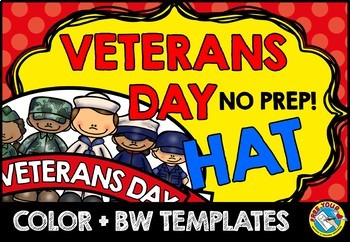
VETERANS DAY CRAFT CROWN ACTIVITY HAT TEMPLATE CRAFTIVITY KINDERGARTEN HEADBAND
VETERANS DAY CRAFT FOR KINDERGARTEN, 1ST GRADE AND MORE (NOVEMBER CRAFT ACTIVITY)Are you looking for fun 'Veterans Day' activities? You've come to the right place! Kids will love making and wearing this hat on 'Veterans Day'! This resource contains a cute hat template, both in color and bw. Simply choose the most adequate template for your class (color/ bw), print and go! Children can look at the colored template to color their own hat. After the kids have colored their hat, cut out and sta
Subjects:
Grades:
PreK - 3rd
Types:
Also included in: JUNE CRAFT KINDERGARTEN CROWN HAT ACTIVITY COLORING PAGE HEADBAND ART
California Regions Research, Writing, Activity Pack
I like to have fun teaching my students about our state regions. We live in California, but this pack could work for other states as well.
What's included in this product:
*Region Questions (2 pages): Students can research the different regions and record information about the climate, seasons, animals, plants, adaptations, famous landmarks, cities, and latitude/longitude.
*Regions Mini Book (5 half pages and one fill in): Students can record 5 fun facts about the regions.
*Region Postcard
Subjects:
Grades:
3rd - 5th
Types:
Informational Research Report -- My State
Resources and materials to write a research report about your state! Includes a complete sample report all about Michigan.Includes:Drafting Paper/Illustration PaperA Complete Sample Text (about Michigan)Pre-writing Graphic OrganizersAn internet resource list for kidsOutline Maps for All Fifty States!!**Take a look at the preview to see what is included!!See my other product on Informational Writing:http://www.teacherspayteachers.com/Product/Writing-Informational-Text-Common-Core-AlignedPlease l
Grades:
3rd - 5th
Types:
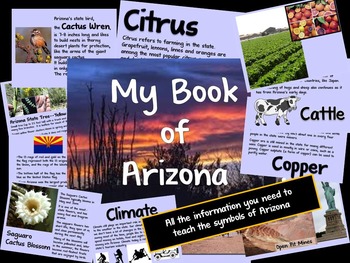
Arizona Information Guide
Need help teaching the symbols of Arizona? Here is all the information you need.Guide includes information on the state flag, tree, flower, bird and the 5 C's of Arizona (cattle, citrus, climate, copper and cotton).Don't forget to download the student booklet! Check out my store, Making Mountains Out of Molehills.
Subjects:
Grades:
K - 2nd
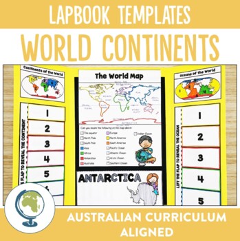
Continents of the World Lapbook Templates
What fun and innovative way are you exploring the Continents of the World this year? Why not try these lapbooks? They make a cute and engaging addition to any unit studying our worlds continents, as well as providing comprehension and note-taking practise for your students.Through these lapbooks students will explore:☆ Identification of the 7 continents of the world, ☆ Identification of the 5 oceans of the world, ☆ Mapping Skills, ☆ Individual continent research If you liked the look of this res
Subjects:
Grades:
2nd - 4th
Types:
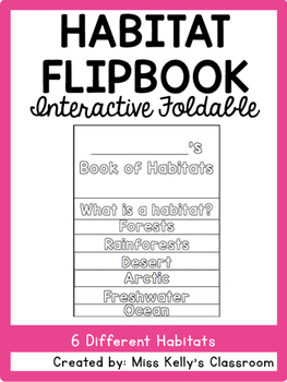
Habitat Flipbook
This habitat flipbook includes 8 pages. Each page has parts where students will fill in different information about what a habitat is as well as 6 example habitats. Each habitat page also includes a picture of the habitat for students to color. The booklet was made to accompany the BrainPOP Jr. habitat videos. The pages included are:
Title Page
What is a habitat?
Forest
Rainforest
Desert
Arctic
Freshwater
Ocean
To put the flipbook together cut along the dotted gray lines. Align the pages shor
Subjects:
Grades:
1st - 2nd
Types:
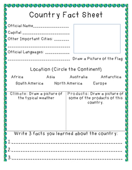
Country Fact Sheet
A fact sheet that can be used as students research countries of the world. Includes space for students to write the official name, capital, important cities, official languages, flag, climate, products, and three facts.
Subjects:
Grades:
1st - 7th
Types:
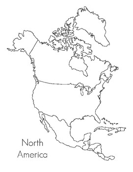
North America Map- Montessori
This is a map that goes along with the Montessori maps for North America. It can be used as a coloring sheet or for the child to write the country names in and be part of a child made atlas. Can be used just by itself if you do not have the Montessori Maps.
Subjects:
Grades:
PreK - K
Types:
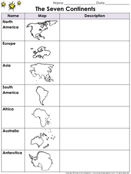
Continents Graphic Organizer: The Seven Continents - King Virtue's Classroom
Continents Graphic Organizer: The Seven Continents - North America, South America, Europe, Asia, Africa, Australia, and Antarctica - King Virtue's Classroom
Starting your Map Skills unit? Help your students get off to a great start with this simple The Seven Continents (North America, South America, Europe, Asia, Africa, Australia, and Antarctica) graphic organizer.
Looking to engage your students? Start off with a research project on the continents. Allow students to use various reference re
Subjects:
Grades:
2nd - 8th
Also included in: Social Studies MegaBundle - King Virtue's Classroom
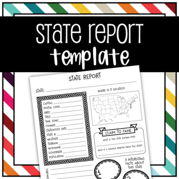
United States State Report Graphic Organizer Template
Use this graphic organizer to research a state.Record your chosen states population, location, landmarks, interesting facts, tree, flower, bird, terrain, historical events, and more in an organized way.
Subjects:
Grades:
1st - 5th
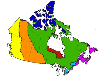
Canada's Physical Regions (maps)
This is one of few digital map resources out there for Canada's Physical Regions. This PDF is a collection of 9 maps, including:
- map of all 7 physical regions (individually coloured)
- 7 maps, 1 for each region (region is coloured; remainder is blank)
- blank map of all 7 regions (no colour)
Grades:
4th - 6th
Types:
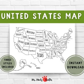
United States Map Coloring Page Printable | US Map for Coloring for Kids
Looking for an engaging and educational tool for your child? Look no further than this exciting outline map of the United States! Designed to make learning about the geography of the US a fun experience, this map can be used by children of all ages to explore and learn about the different states. Let your child use their imagination to color and label each state, providing them with an interactive and hands-on learning experience.But that's not all! This map can be used in a variety of education
Subjects:
Grades:
PreK - 2nd
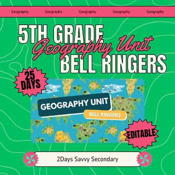
25 Days of Engaging Geography Bell Ringers for 5th Grade
Transform your 5th-grade geography lessons with our dynamic set of 25 bell ringers! Designed to captivate young minds, these bell ringers are crafted to review previous lessons, set the stage for new learning, and encourage deeper connections to American society. Each day presents a unique, thought-provoking question or activity that aligns perfectly with a comprehensive study of geography, culture, and environmental sustainability.What’s Included:25 Engaging Bell Ringers: Each bell ringer is ta
Grades:
5th - 8th
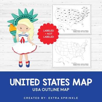
FREEBIE United States Outline Maps
Dear Educator,Thank you for downloading the FREEBIE United States Outline Map. I have no doubt that this incredible resource will become your go-to map year after yearIncluded in this packet you will find two versions of the United States outline map. The first version is available in black and white and contains only a title. It is ready for your students to color and label as you see fit. The second version comes complete with state names. It is available in black and white as well.I crea
Subjects:
Grades:
PreK - 12th
Types:
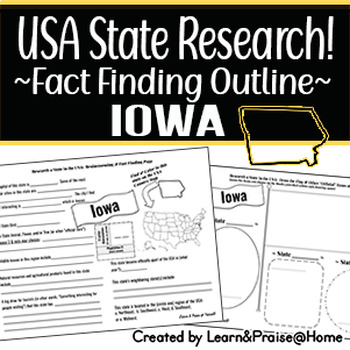
IOWA State Research Report: Brainstorm & Fact Page Outline | SOCIAL STUDIES
Do you need a way to help your students wrap up their study of the USA state of Iowa? This brainstorming and fact finding page will help guide students to fun facts about many of the "official state items" & basic facts of this state (state bird, year of statehood, marking the location on the USA map provided, & more)! Plus, they will have the chance to show off their drawing skills on the second page that allows them to draw in the state flag along with 3 "official state items" of the
Grades:
3rd - 5th
Types:
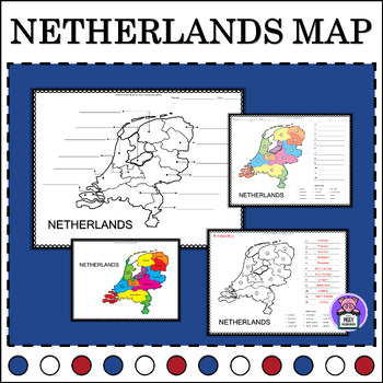
Netherlands Geography Map Quiz | Labeling the Provinces | Numbered
Map of the Netherlands LabellingEnhance your geography lessons with this Netherlands Map resource! Perfect for educators, this set includes labeled maps of the Netherlands, showcasing its different provinces. Use these maps to teach students about the geography and regions of the Netherlands in an engaging and informative way.3 Labeling Versions Included:Numbered Label- with word bankIdentify LabelBlank Map for Writing and ColorAlso Includes:PosterColor and BW VersionsAnswer keyYou may also like
Grades:
4th - 6th
Also included in: Labeling Map Quiz Countries Around the World - BUNDLE
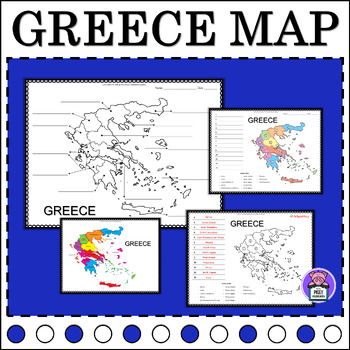
Greece Map Quiz Labeling the Regions | Numbered | Geography Map of Greece
Map of Greece LabellingEnhance your geography lessons with this Greece Map resource! Perfect for educators, this set includes labeled maps of Greece, showcasing its different regions. Use these maps to teach students about the geography and regions of Greece in an engaging and informative way.3 Labeling Versions Included:Numbered Label- with word bankIdentify LabelBlank Map for Writing and ColorAlso Includes:PosterColor and BW VersionsAnswer keyYou may also like this16 Countries:MexicoAustraliaF
Grades:
3rd - 6th
Also included in: Labeling Map Quiz Countries Around the World - BUNDLE
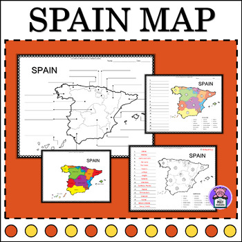
Spain Map Quiz Labeling the States | Numbered | Geography Map of Spain
Label Map of SpainEnhance your geography lessons with this Spain Map resource! Perfect for educators, this set includes labeled maps of Spain, showcasing its different states. Use these maps to teach students about the geography and regions of Spain in an engaging and informative way.3 Labeling Versions Included:Numbered Label- with word bankIdentify LabelBlank Map for Writing and ColorAlso Includes:PosterColor and BW VersionsAnswer keyYou may also like this16 Countries:MexicoAustraliaFranceItal
Subjects:
Grades:
5th - 8th
Also included in: Labeling Map Quiz Countries Around the World - BUNDLE

Inquiry Action Plan
This Inquiry Action Plan is a planning organizer designed to be generic enough to use with any inquiry based project in any subject area. It allows students to design their own inquiry projects by guiding them through the design process step-by-step. Using this guide, students are able to set learning goals, set skill development goals, design their project format, and develop their own success criteria for evaluation.
Subjects:
Grades:
5th - 8th
Also included in: Inquiry Action Plan Organizer and Posters Bundle
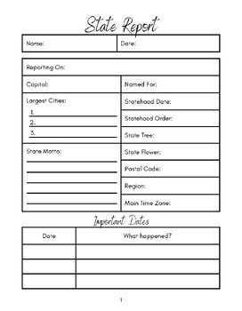
State Report Outline
This is great for 3rd-8th grades or homeschoolers. Great for kids new to doing reports or for older kids for an outline for
Subjects:
Grades:
3rd - 8th
Types:
Showing 1-24 of 148 results


