92 results
Geography graphic organizers for Easel and for administrators
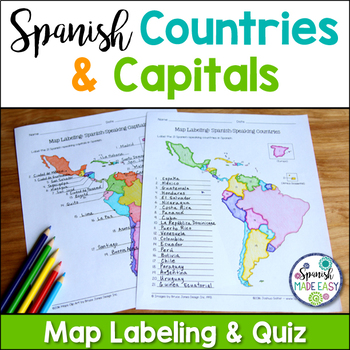
Spanish-Speaking Countries and Capitals Maps and Quiz
This is a map labeling activity and matching quiz over the 21 Spanish-speaking countries and capitals. Students will label and identify the 21 Spanish-speaking countries and capitals in Spanish. This is a great activity when reviewing Spanish-speaking countries and capitals or Spanish geography. Makes a great coloring page. Answer keys are included.
Countries included:
España, México, Costa Rica, El Salvador, Guatemala, Honduras, Nicaragua, Panamá, Cuba, La República Dominicana, Puerto Rico, Ar
Subjects:
Grades:
6th - 12th
Also included in: Spanish Countries and Capitals Geography Bundle
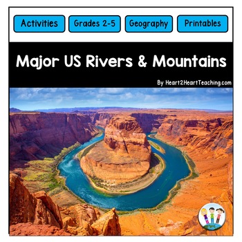
U.S. Major Rivers & Mountains - Major Rivers of the United States Activity Pack
In this comprehensive unit, students will learn about 7 major rivers and 3 major mountain chains that played an incredibly important role in the history of the United States. Students will love the reading passages and activities about these major rivers and mountain chains. What's Inside:Landforms: Rivers and MountainsMississippi RiverMissouri RiverColorado RiverOhio RiverHudson RiverSt. Lawrence RiverRio Grande RiverThe Rocky MountainsThe Appalachian MountainsThe Sierra Nevada MountainsTeacher
Subjects:
Grades:
2nd - 4th
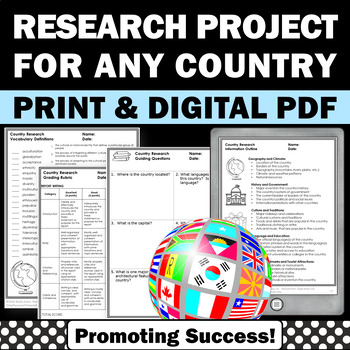
Country Research Projects Study Report Countries Around the World Research
Country Research Projects: This newly revised (July 2023) country study worksheet packet will help your 4th grade, 5th grade, and 6th grade social studies students conduct a country study research project for countries around the world. It not only includes country research graphic organizers and templates and for gathering information and conducting country research, but also guidance and skills for country report writing and giving a presentation. Grading rubrics, answer keys, differentiated a
Subjects:
Grades:
4th - 7th
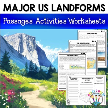
Major US Landforms Yellowstone National Park Yosemite National Park Grand Canyon
Our Major US Landforms unit includes reading passages and activities about the Great Lakes, Yellowstone, Grand Canyon, Arches National Park, Yosemite, Great Plains, Death Valley & more! Reading passages come in 3 levels of difficulty.These geographical features are included:The Great BasinThe Gulf of MexicoThe Great LakesDeath ValleyThe Atlantic Coastal PlainThe Continental DivideThe Great PlainsArches National ParkGrand CanyonYellowstone National ParkYosemite National ParkA Digital Version
Grades:
3rd - 5th
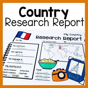
Country Research Report Worksheets and Graphic Organizers Google Slides
Are you looking for engaging activities for writing a country research project? These country research graphic organizer worksheets are perfect for your literacy and social studies lessons about countries. They are ideal for research projects and report writing. They are also great for reading lessons with informational texts.These informational essay graphic organizers are offered as no prep printables, as well as in digital formats (TPT Easel and Google Slides). Here's the thing. You want your
Subjects:
Grades:
1st - 3rd
Geography Activities Major Landforms and Bodies of Water Reading Passages Unit
This fun unit is perfect for the back to school season to introduce 12 major landforms and reinforce geography skills! It includes 12 major landforms with reading passages, organizers, vocabulary posters, flip book, and a unit test.This activity pack is perfect for introducing and reviewing geography skills through creative hands-on activities. Students will love creating this geography flip book in centers or social studies stations. All the activities in this pack will reinforce and expand the
Grades:
2nd - 5th
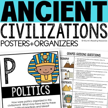
Ancient Civilizations GRAPES Posters Ancient Greece Ancient Rome Ancient China
Help your students learn and organize info about ancient civilizations with these G.R.A.P.E.S. posters, guiding questions, and graphic organizers! The GRAPES Ancient Civilizations Poster and Graphic Organizer Set is an easy acronym to organize information for the basic traits of ancient civilizations. G.R.A.P.E.S. is an acronym for:G- GeographyR- ReligionA- AchievementsP- PoliticsE- EconomicsS- Social StructureGRAPES is an effective way to learn and organize information about different civilizat
Grades:
6th - 8th
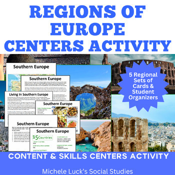
Regions of Europe Centers Activity for European Geography or Culture Study
Introduce your students to the regions of Europe with this easy to prep Centers or Stations Activity. At each regional center, students will read geographic information on the region, view maps and discover physical features and statistics, view data from the region on cultural and human characteristics, and read current articles on the regions of Europe (using internet links provided in teacher directions). Included:Reading Cards on each RegionImage Cards on each RegionMap Cards on each Regi
Subjects:
Grades:
6th - 10th, Higher Education
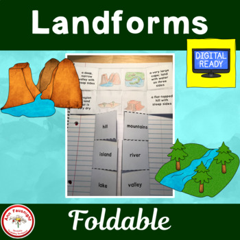
Landforms Foldable
Students will assemble a foldable to help them learn 10 landforms. The flapbook comes with several options. Directions and pictures are included to help with assembly. This products is perfect for social studies interactive notebooks.The variety of choices makes this product great for differentiation.This product is ready for distance learning. Check out the TpT Digital Activity button. I have already created a student-friendly digital activity with directions and answer boxes that can be used t
Grades:
3rd - 4th
Also included in: Landforms Bundle
Global Communites Research Project - Grade 2 Social Studies
This is a culminating task for the Global Communities unit in the Grade 2 Ontario Social Studies curriculum. It is a report outline that asks students to research and report on a country.
This PDF document includes 17 pages including:
- 1 page of teaching tips, assessment guidelines, and links to the Ontario curriculum
- a chart for students to organize their research
- 8 pages of graphic organizers to report information about location, climate, population, food, homes, animals, plants, jobs
Grades:
1st - 3rd
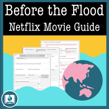
Before the Flood Movie Questions: Climate Change and Global Warming Documentary
Before the Flood is an important documentary on Climate Change presented by National Geographic and starring Leonardo DiCaprio. Climate Change is quickly becoming one of the most important issues of our time. It's our job as educators to make sure students are aware of the impact that climate change might have on their futures. Before the Flood is the perfect way to introduce the topic of climate change and environmentalism in your classroom!This resource contains four pages of questions about t
Subjects:
Grades:
9th - 12th
Also included in: Climate Change and Environmental Sustainability Bundle for High School
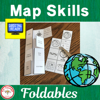
Map Skills Foldables
This foldable is a perfect way to add map skills vocabulary to social studies interactive notebooks. The words practiced include grid map, compass rose, key, globe, map, lines of latitude, lines of longitude, and scale.This foldable can be used in more than one way. Easiest, least rigorous use: Copy the foldable with the Map Skills pictures back to back with the foldable with the names. Students glue the definition under the flap. . (There are two sets of the pictures on each sheet.) Easy, les
Grades:
3rd - 4th
Also included in: Map Skills Bundle
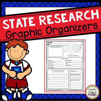
State Research Graphic Organizers
Are your students learning about the 50 United States? These state research graphic organizers are perfect for ANY state research activity and work with any one of the 50 states. Simply provide students with a nonfiction text or website. There are 2 different organizers to fit your needs. You will also find 2 completed examples to support your students. These pages are a fantastic way for students to organize all the information they learn. What's Included: * State name, capital, abbreviation, a
Subjects:
Grades:
3rd - 5th
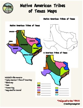
Native Tribes of Texas Maps
Colorful Map of the Native Tribes of Texas. Use with Texas History Unit 2; Natural Texas and Its People. Includes colored and labeled map as well as blank maps for student learning. One version for students to label and color and one version that is already colored for students to label. Can also be used as a quiz. Answer key included. Perfect for Interactive Notebooks. Aligned with the TEKS. Additional resources:Tribes of Texas Task CardsNative Tribes of Texas QuizTexas Regions Maps Follow me
Grades:
4th - 7th
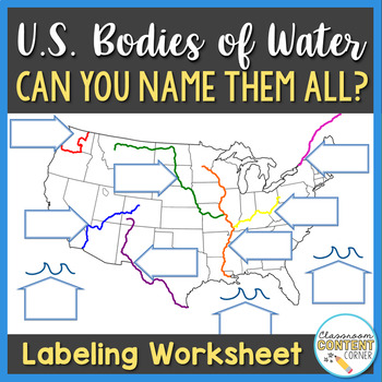
U.S. Bodies of Water Map
Can you name all the bodies of water on this U.S. map? This product can be used as guided notes, homework, or a study guide! Includes 10 Bodies of Water: - Mississippi River- Missouri River- Columbia River- St. Lawrence River- Ohio River- Colorado River- Rio Grande- Gulf of Mexico- Atlantic Ocean- Pacific OceanThis product is aligned with Virginia SOL, U.S. History to 1865, Standard USI.2cThank you for visiting my store! Click to follow me and be the first to learn about new products, sales, and
Subjects:
Grades:
4th - 7th
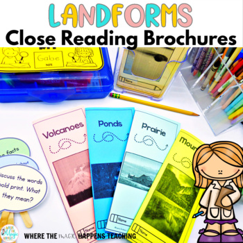
Land Forms and Water Close Reading Passages
Make reading comprehension come alive with these 9 engaging, hands-on, and interesting landforms close reading brochures ! This set includes 9 low-prep close reading passages, perfect for small groups, literacy centers, content area instruction, tutoring, and homework. They have SO many uses! THEY ARE SO EASY TO PREP, JUST PRINT FRONT AND BACK, TRIFOLD, AND VOILA! This resource contains everything you will need to implement close reading in your classroom! There are also text-dependent questions
Subjects:
Grades:
3rd
Types:
Also included in: Science Close Reading Passages - Reading Comprehension Bundle
3rd Grade Georgia Social Studies - US Topographical Features Comprehensive Unit
This is a custom created unit designed to help you integrate social studies in your reading and writing blocks. The nine reading passages are formatted in two different ways. They are formatted in the standard format and an interactive note-taking format. You decide what you need for your students! The passages are followed with questions that are text based. Before reading, students must number their paragraphs and when answering questions, must give the paragraph number where they found the an
Subjects:
Grades:
3rd
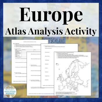
Europe Atlas Activity for Physical & Political Geography Mapping Analysis
Teaching the physical and human Geography of Europe? Want to examine the geographic data on the modern European nations? Looking for a no prep, collaborative resource to introduce a Geography of Europe unit? This is it!This is a student-centered investigation of the Geography and statistics of Europe for an introduction to a unit on the Geography of the continent. Skills Practiced:AnalysisMappingInquiryVocabularyComparisonData Reading & CategorizationStudents may be assigned to work individ
Grades:
6th - 12th, Higher Education
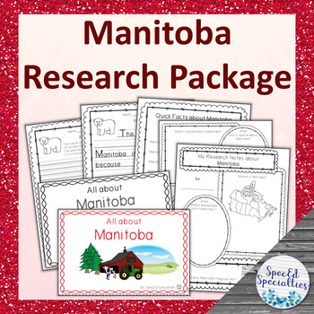
Manitoba Province of Canada Differentiated Research Project
This is a differentiated research package containing all of the materials needed to complete a research project on Manitoba, including emergent readers, graphic organizers, and writing paper. With simple and accessible materials, this project is perfect for the special education and regular classroom, early learners, and more!This non-fiction Canadian research package contains 5 elements: -a full-colour 10-half-page (including cover) emergent reader containing key facts and information, written
Subjects:
Grades:
3rd - 5th
Also included in: Canadian Provinces & Territories Research Packages BUNDLE
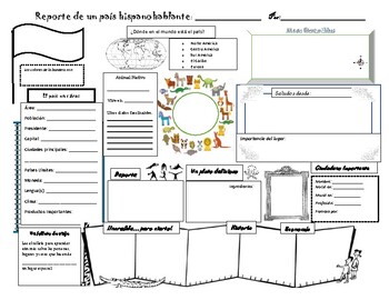
Country Report/ Biography
Students will have fun completing this cool Spanish speaking country report. Use it each time you are teaching a new Spanish Speaking Country! I suggest giving students a country per unit. In addition to the report, students can complete a biography on a famous Hispanic person from the assigned country. This last biography is appropriate for level 2 (second semester) and up. It's a great way to start training them for advanced classes as they will briefly compare the person to another one in the
Subjects:
Grades:
3rd - 12th
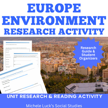
Environmental Investigation on Europe for Geography Climate Global Warming
Study the Environmental Issues of Europe in this engaging Geography activity! This is an investigative study for students to evaluate the environment of Europe at the end of a unit on the Geography of Europe. It is designed for a middle or high school Geography course for a 90 minute block schedule, but could easily be adapted to a 2-day traditional lesson.Students are provided websites with links to interactive maps and environmental data on a variety of topics for the European continent. The
Grades:
6th - 12th, Higher Education
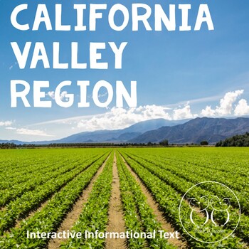
California Valley Region Informational Reading and Activities
Each of our California four regions products - Mountain, Desert, Valley, and Coast covers:climategeologic historyland forms and other defining featuresresourcesplant and animal lifepeoplecultureindustrytransportationarchitectureConcerns for the regions' future.Also included:interactive questions or actions on every slidewriting promptactivity sheetblank glossary notesKeep your students engaged and learning with this engaging, standards-based text and activities. Great for every learning situatio
Subjects:
Grades:
4th
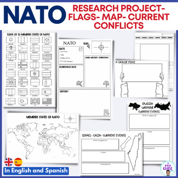
NATO Research project map and flag. Ukraine-Russia- Israel Gaza conflict
Learn more about Europe with more country reports downloading this resourceThis resource includes:NATO research reportFlags of 32 States of NATO (Finland and Sweden included)Coloring map- Member States of NATOGraphic organizer about the current events in Gaza- Israel. (What is happening?- Causes and Consequences.Graphic organizer about the current events in Ukraine. (What is happening?- Causes and Consequences.News template to write news about the current events.A sign for peace.Ukraine and Russ
Subjects:
Grades:
5th - 6th
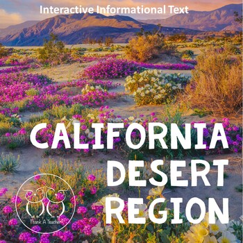
California Desert Region Informational Reading and Activities
Each of our California four regions products - Mountain, Desert, Valley, and Coast covers:climategeologic historyland forms and other defining featuresresourcesplant and animal lifepeoplecultureindustrytransportationarchitectureConcerns for the regions' future.Also included:interactive questions or actions on every slidewriting promptactivity sheetblank glossary notesKeep your students engaged and learning with this engaging, standards-based text and activities. Great for every learning situatio
Subjects:
Grades:
4th
Showing 1-24 of 92 results

